|
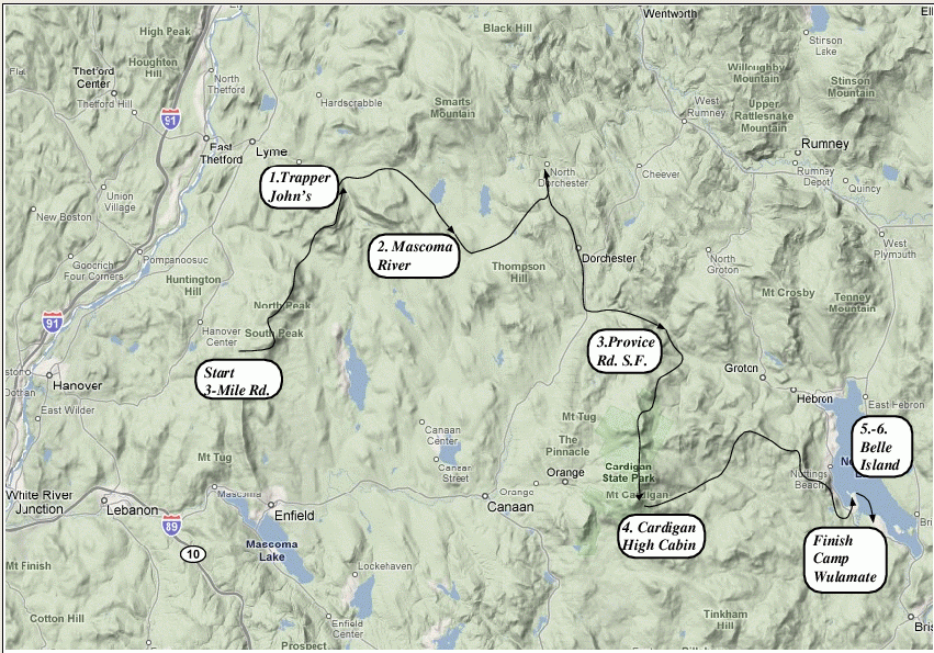
Long Trek 2008 Prolonged Promenade
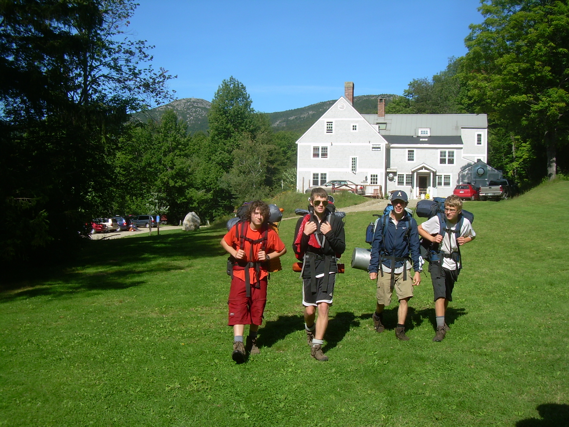
Galen (crew chief), Conner, Seth, Jordan, David Tim Smith, Colin Robinson, Kenneth Call, Darryl Murrey August 16th - 22nd, 2008
|
|
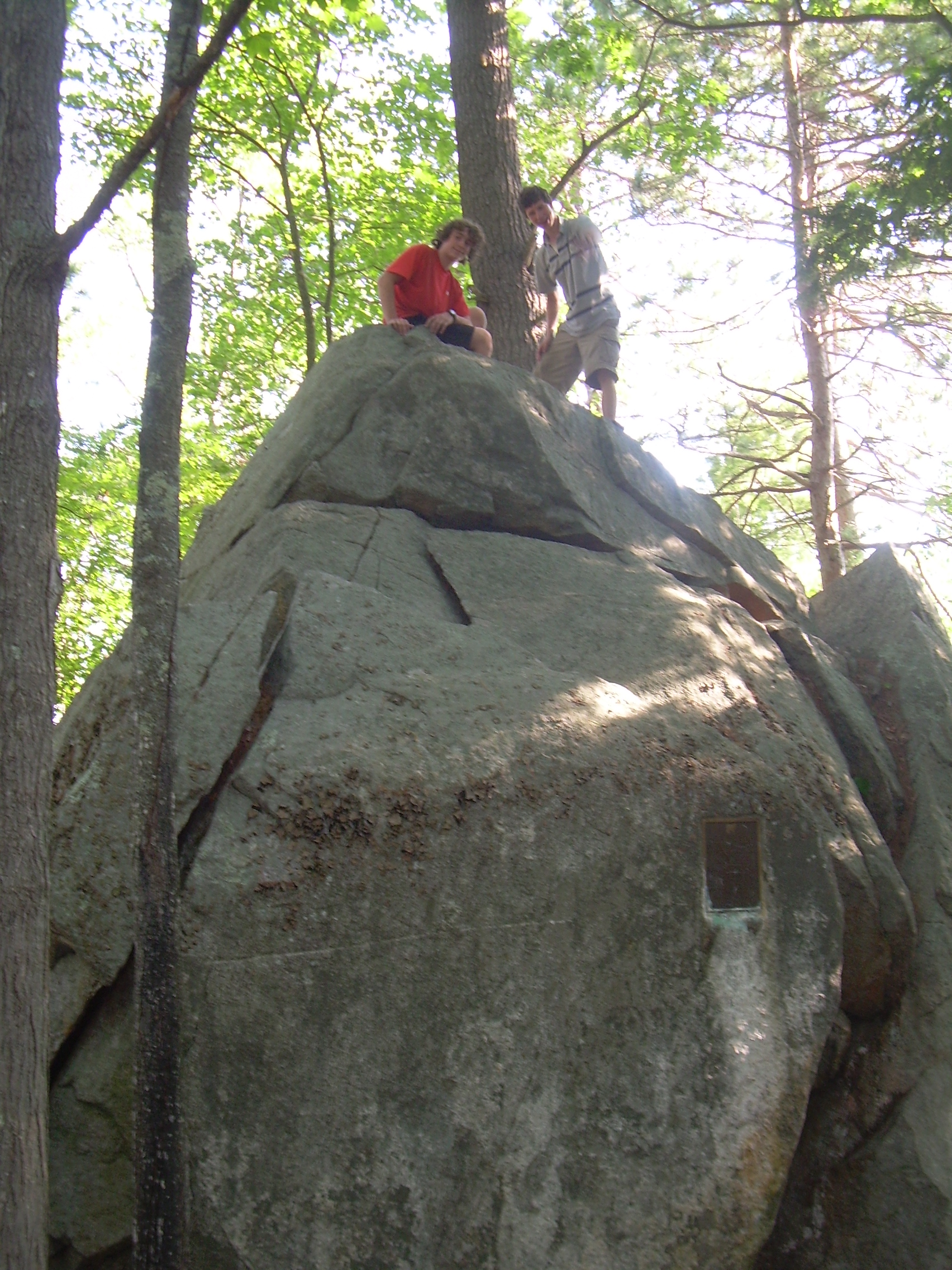
| Looking north to Holt |
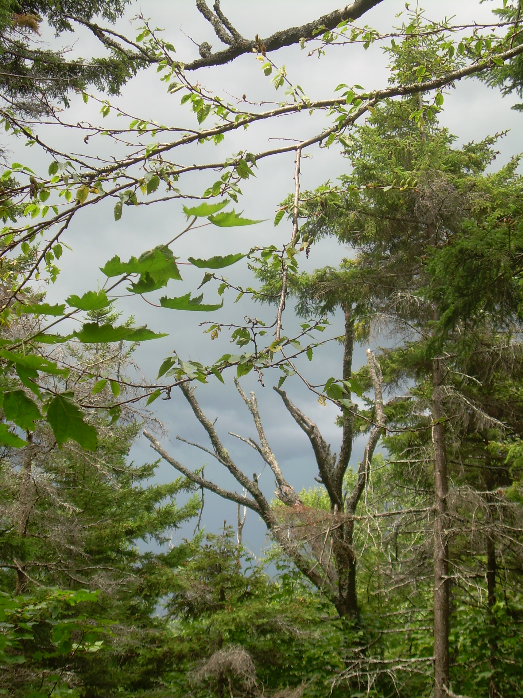
Gathering storm clouds |
Descending N. Moose - Conner |
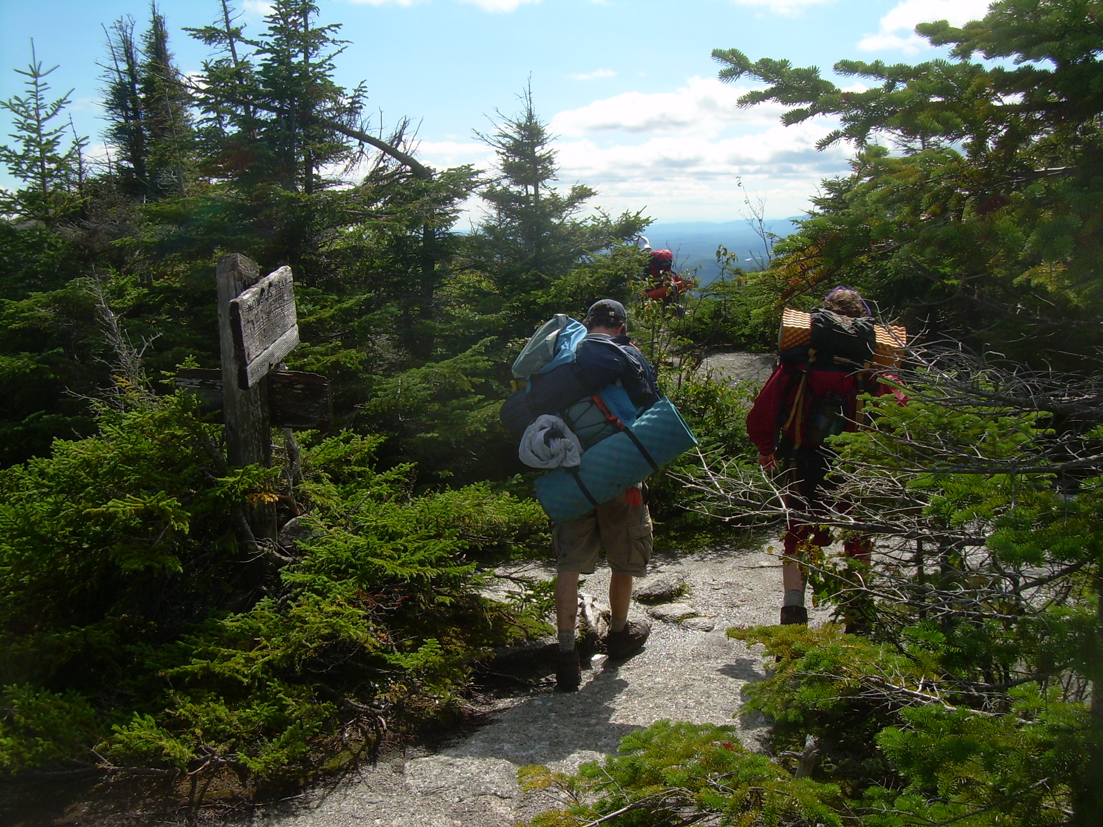
Holt Ledge |
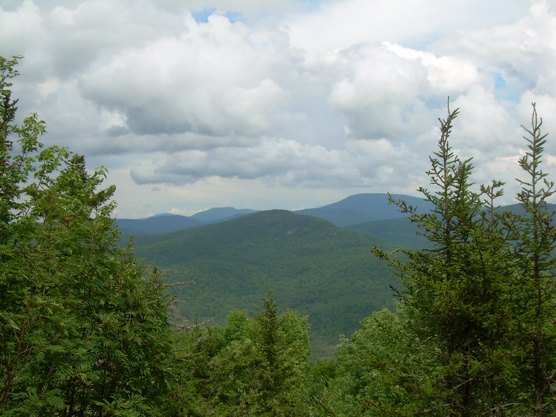
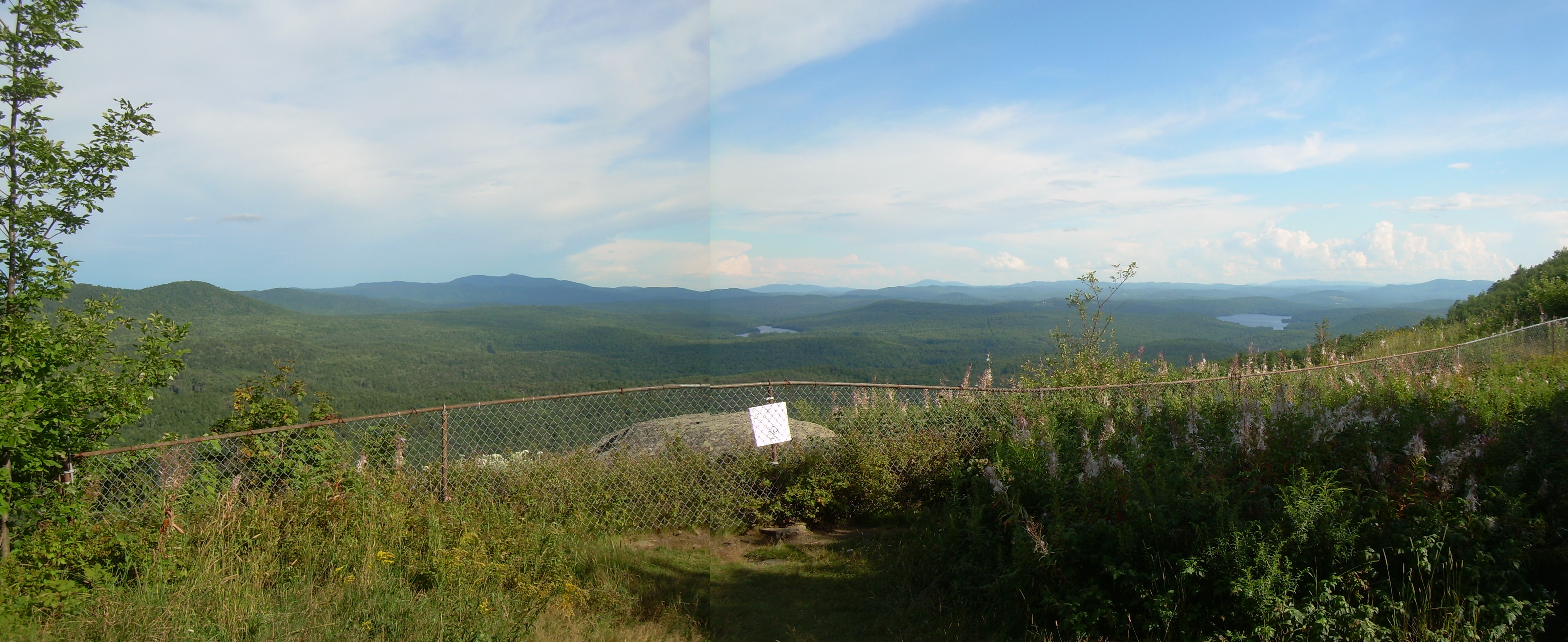
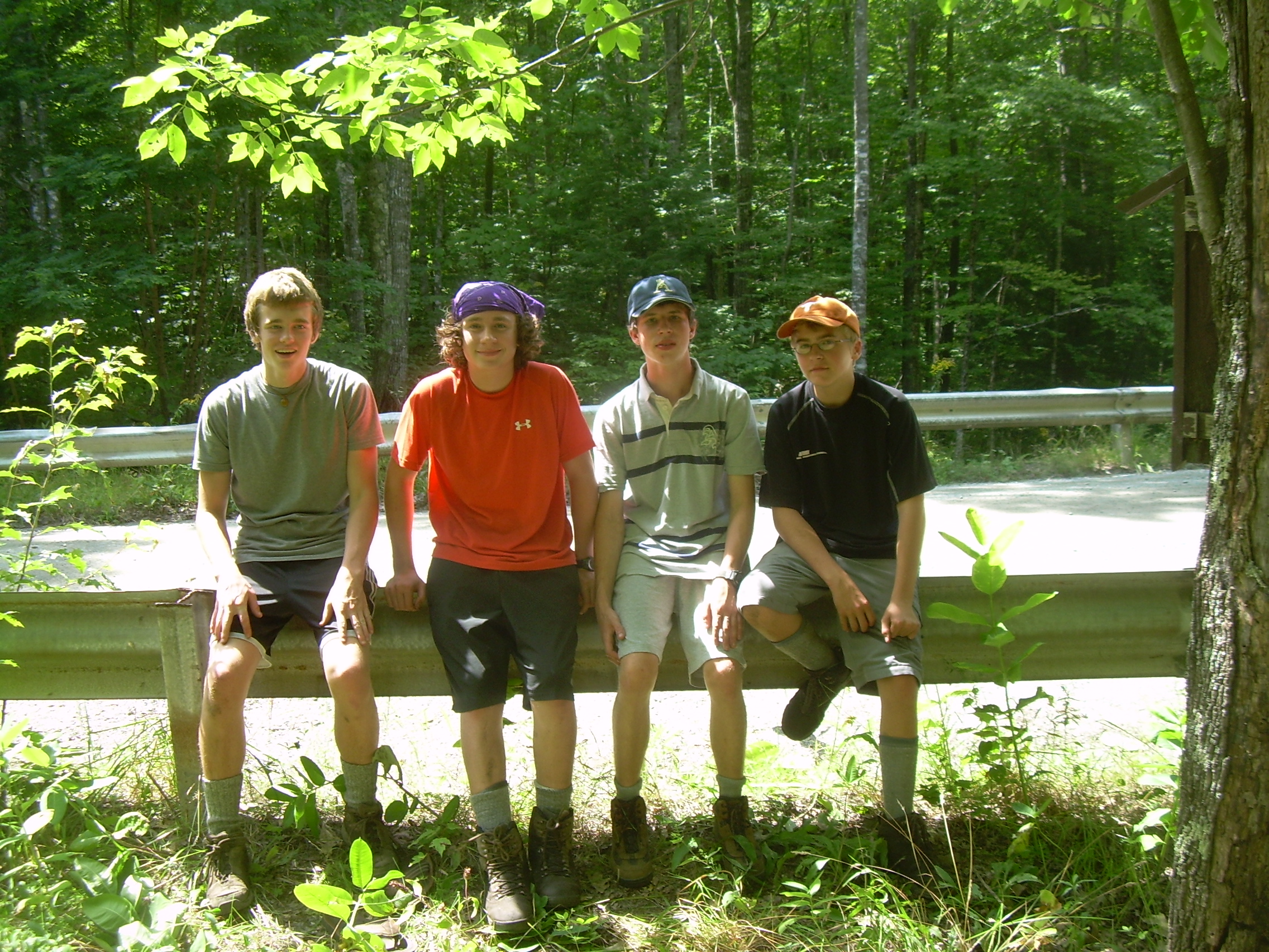
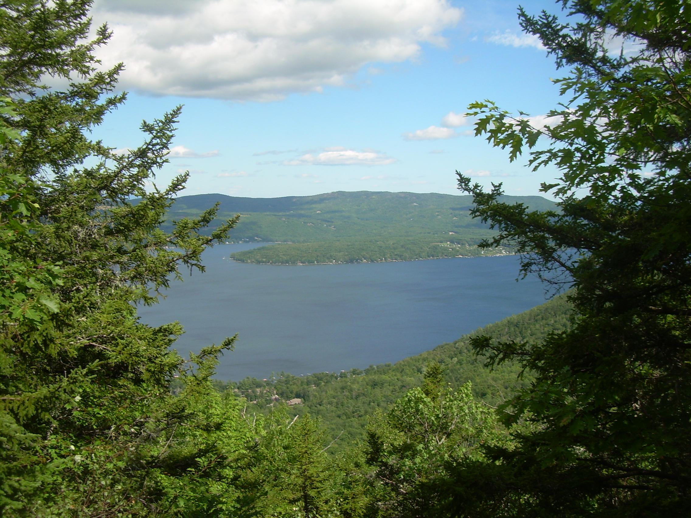
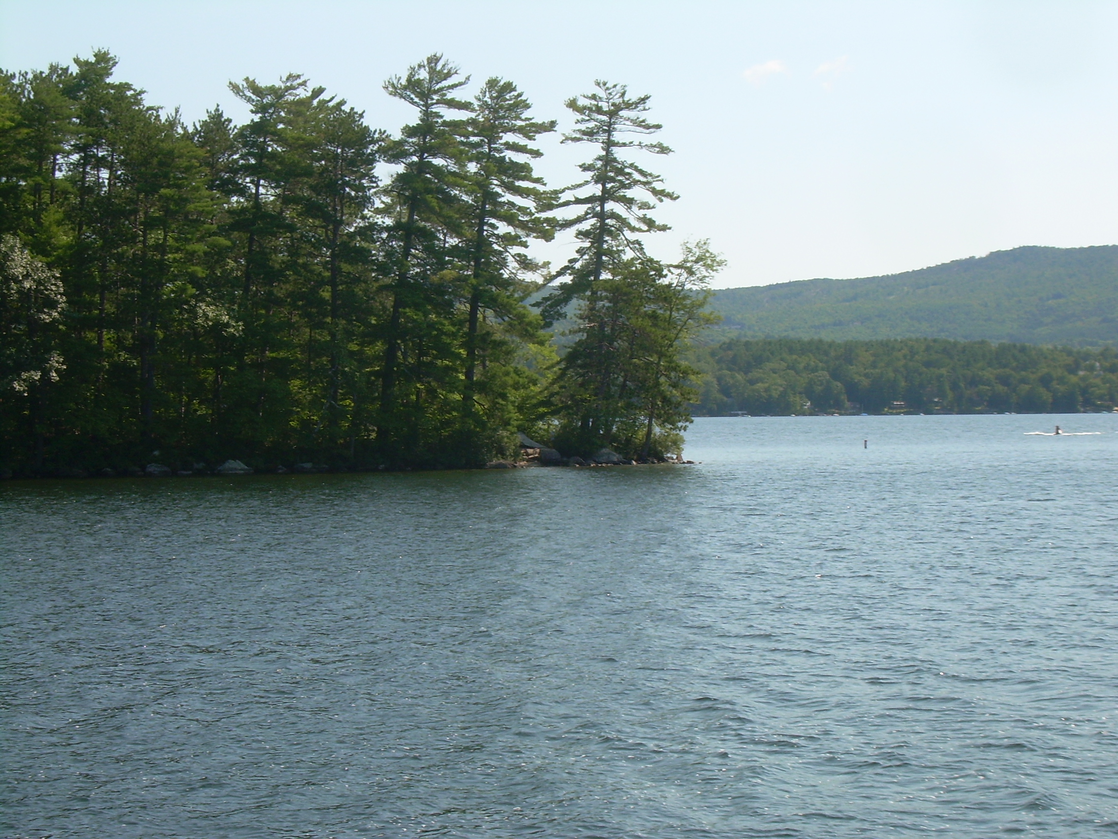
| From Holt Ledge - Cardigan Mt. - Goose Pond |
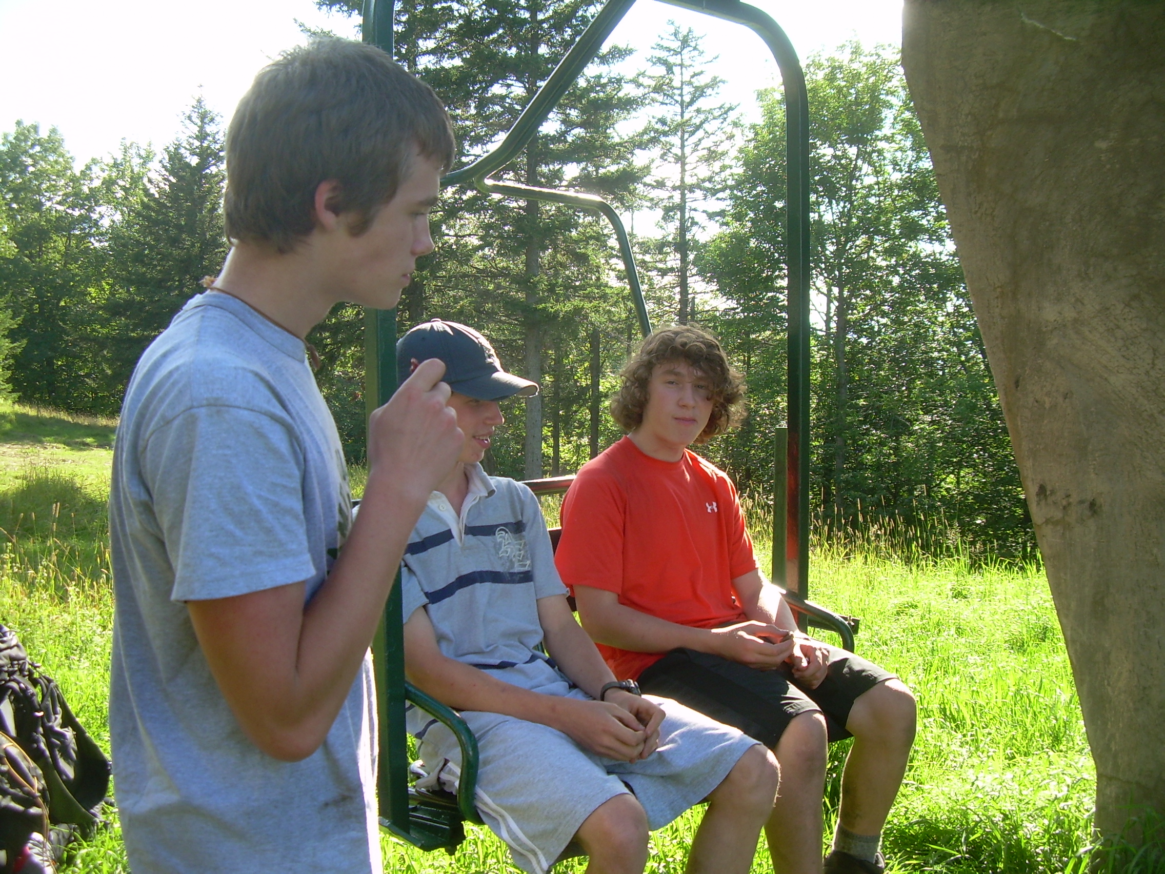
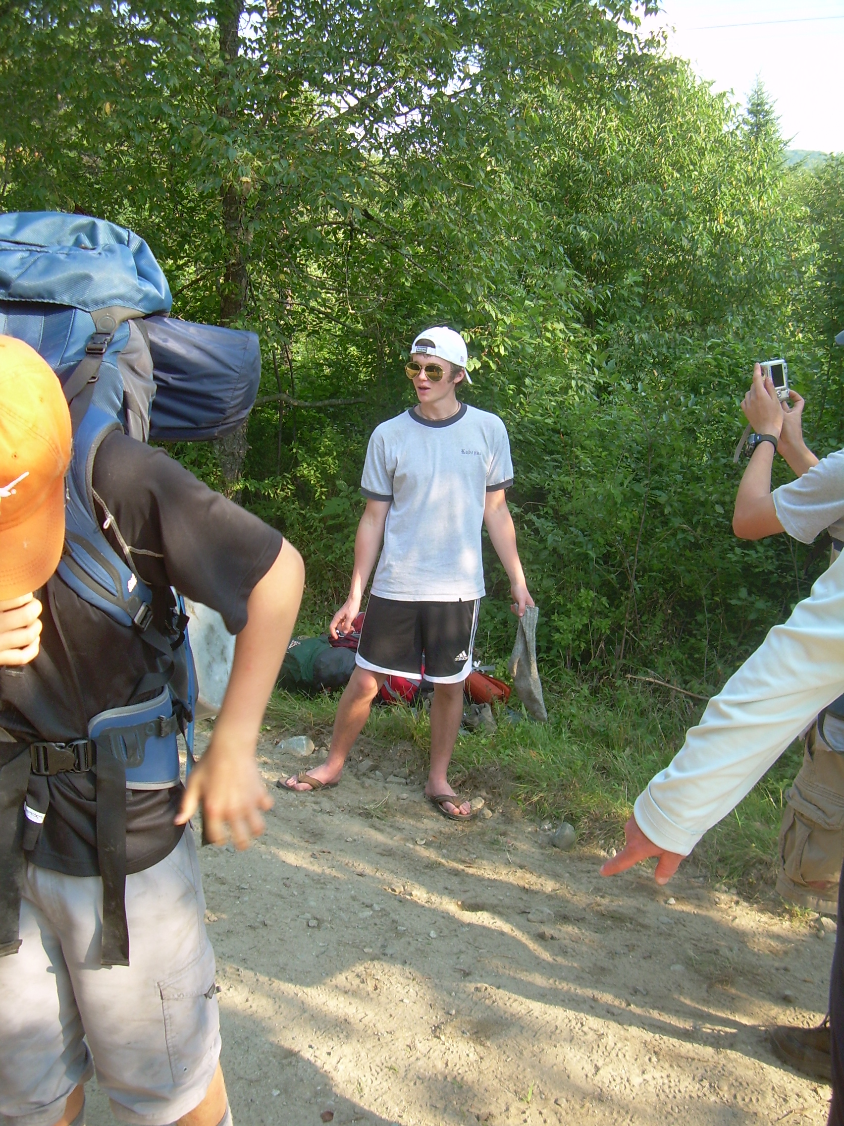
Holt Chairlift |
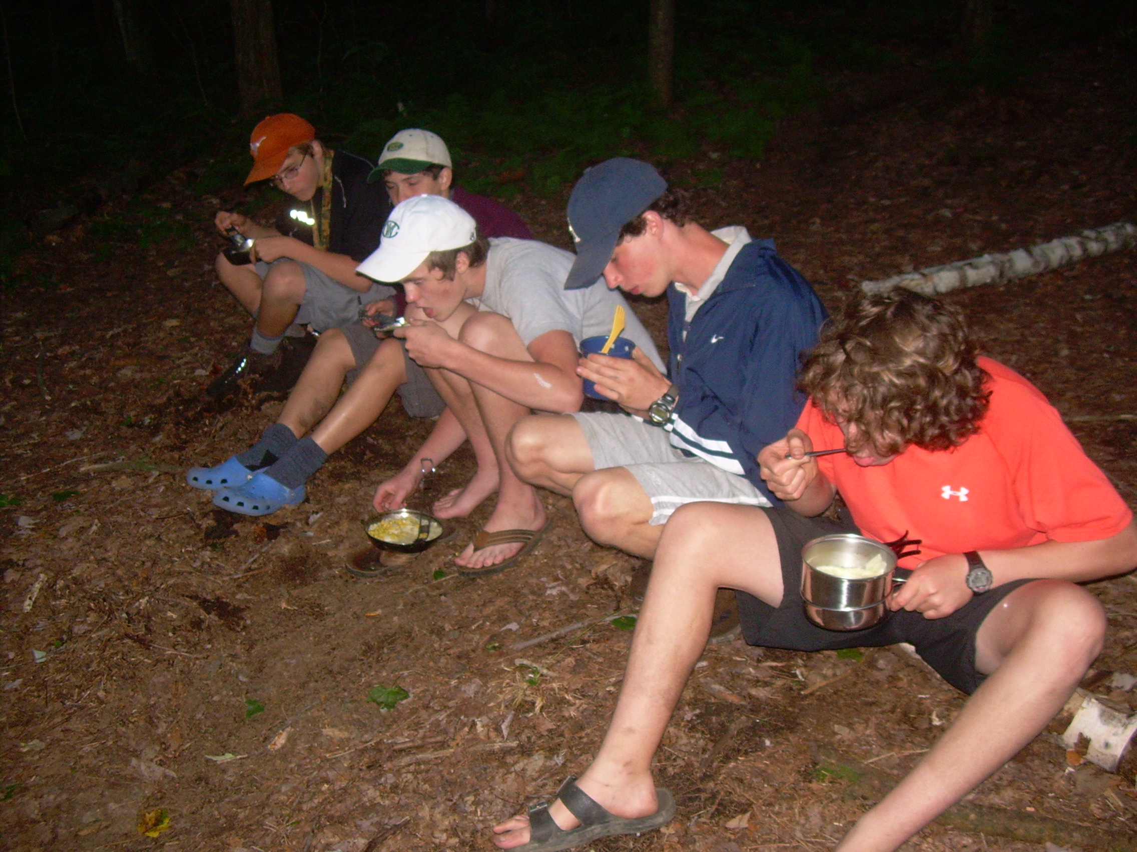
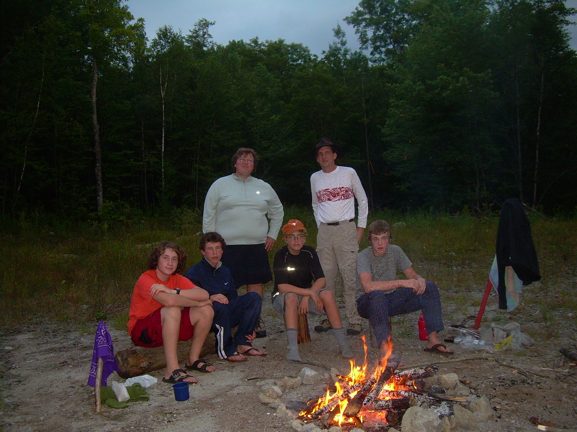
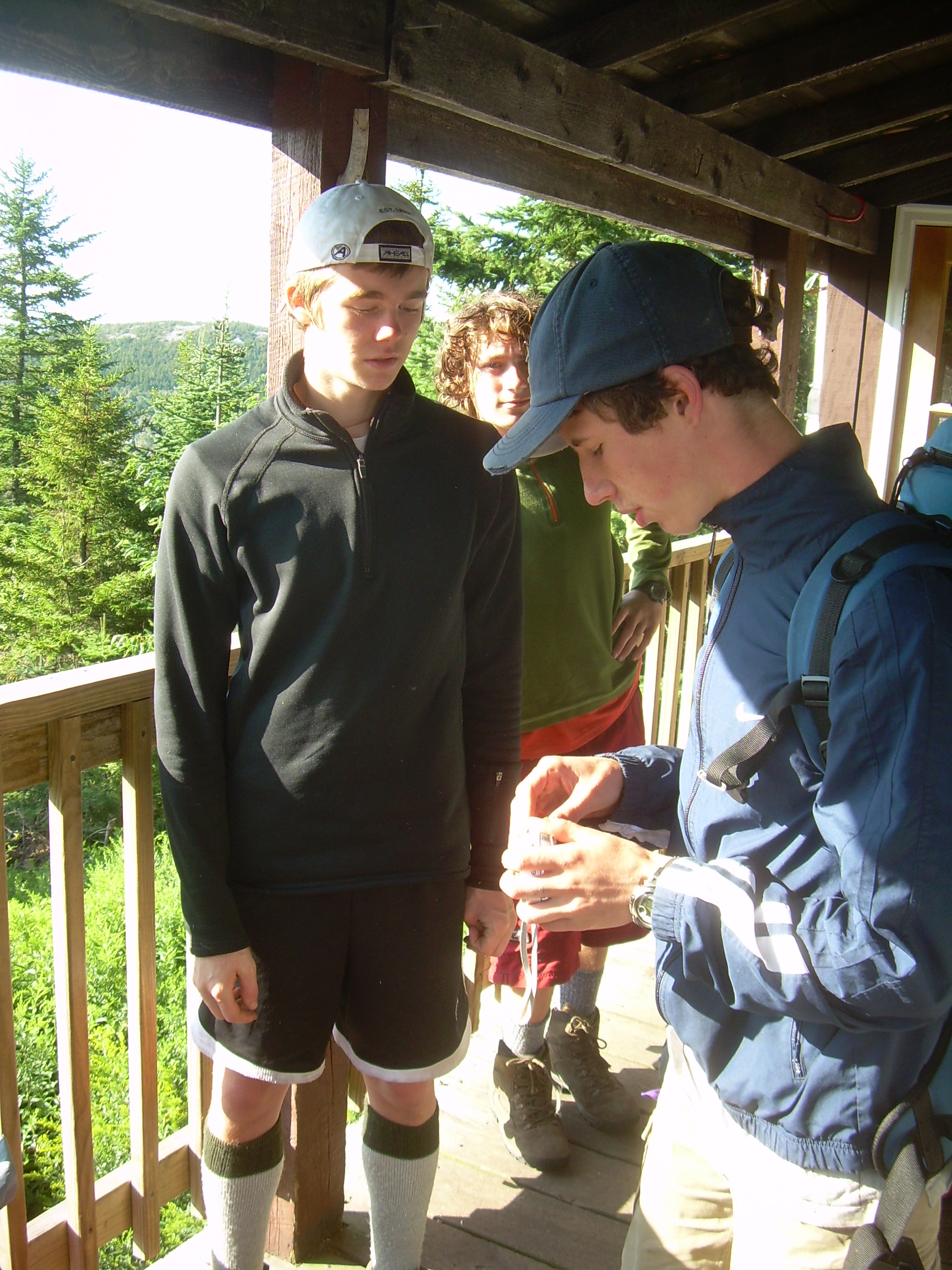
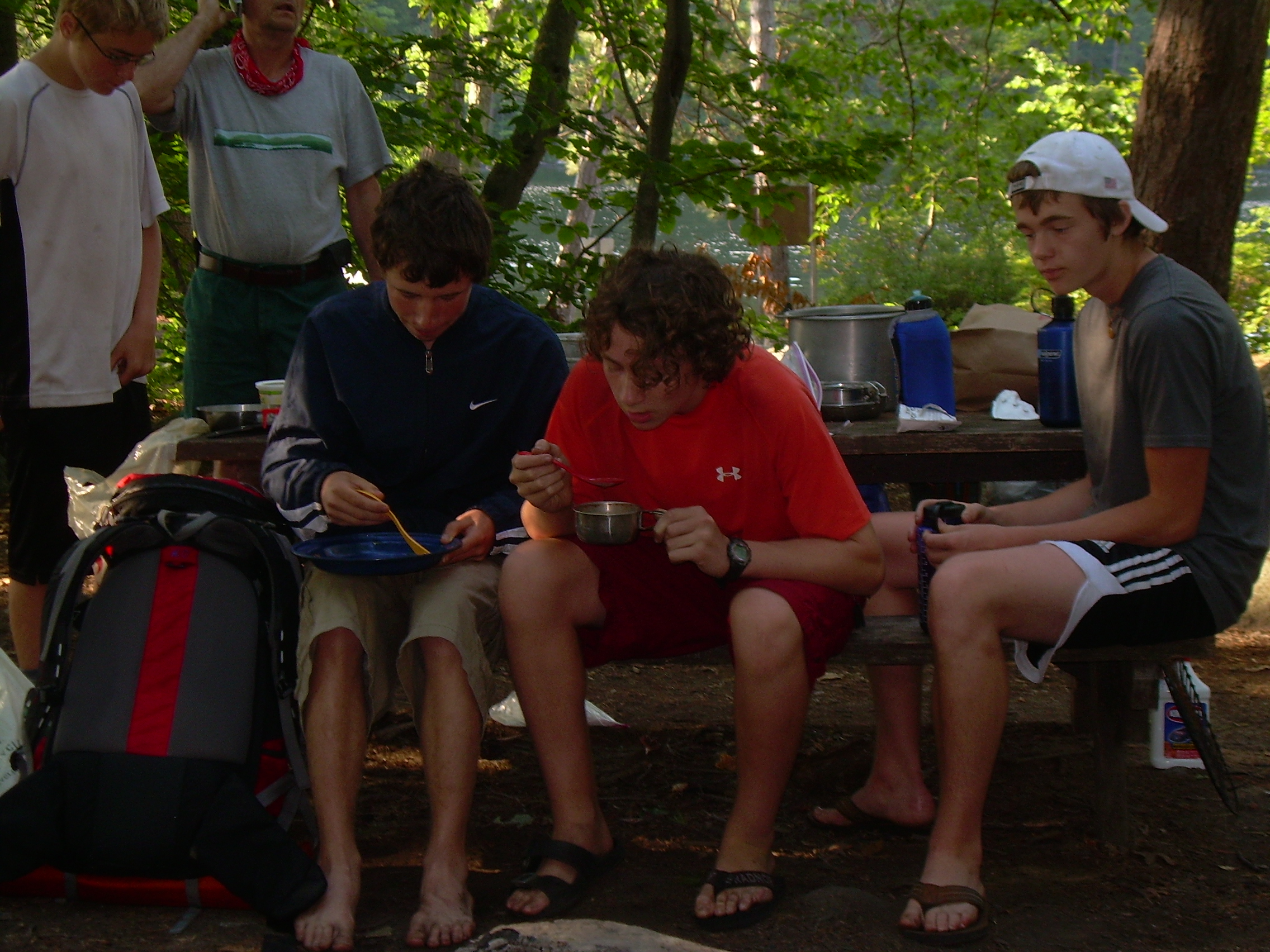
Supper at Trapper John's |
|
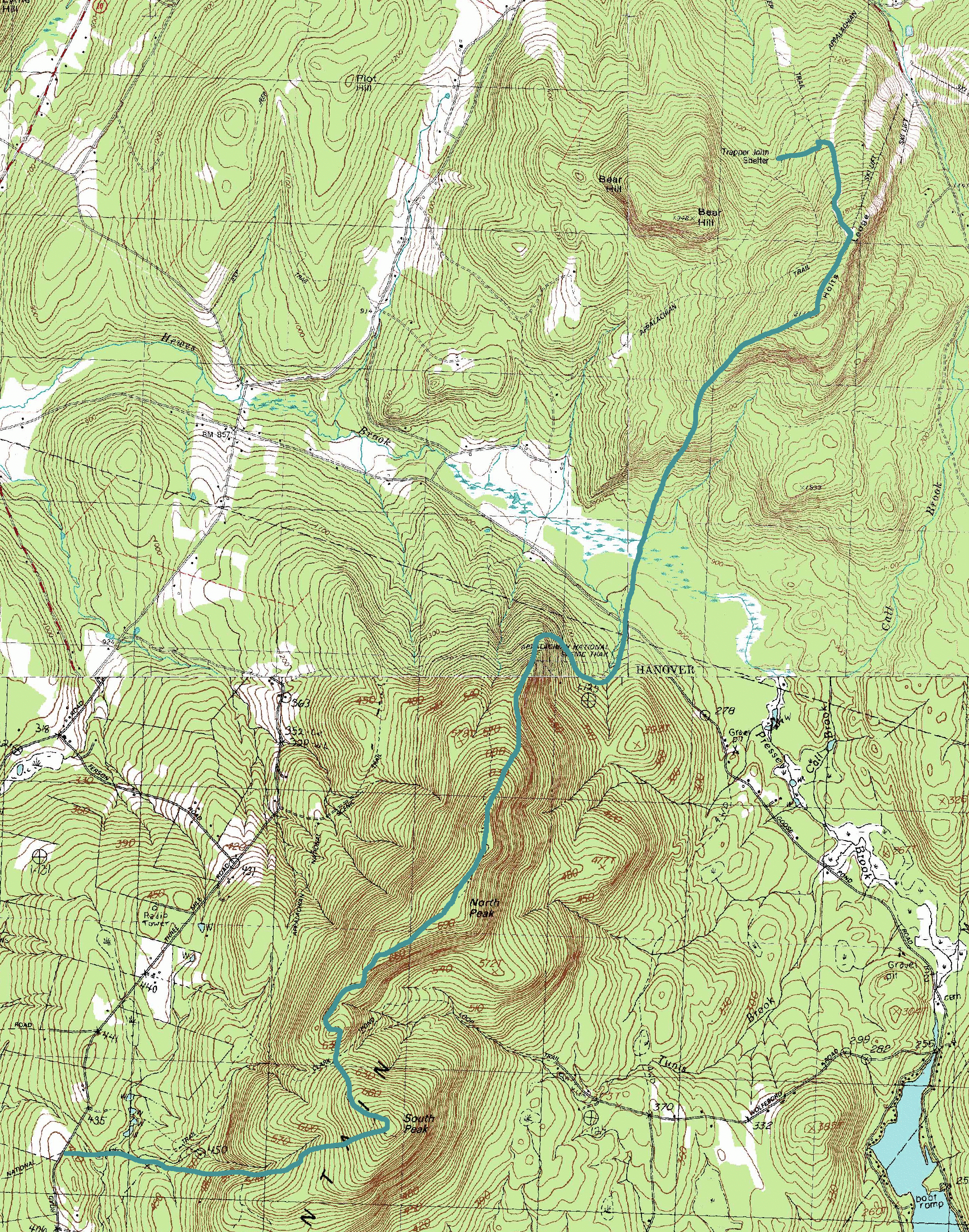
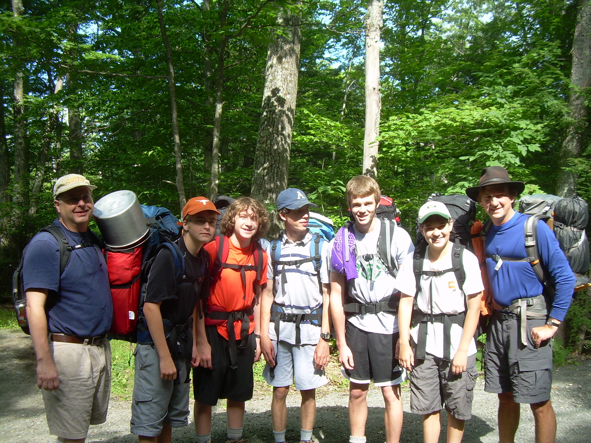
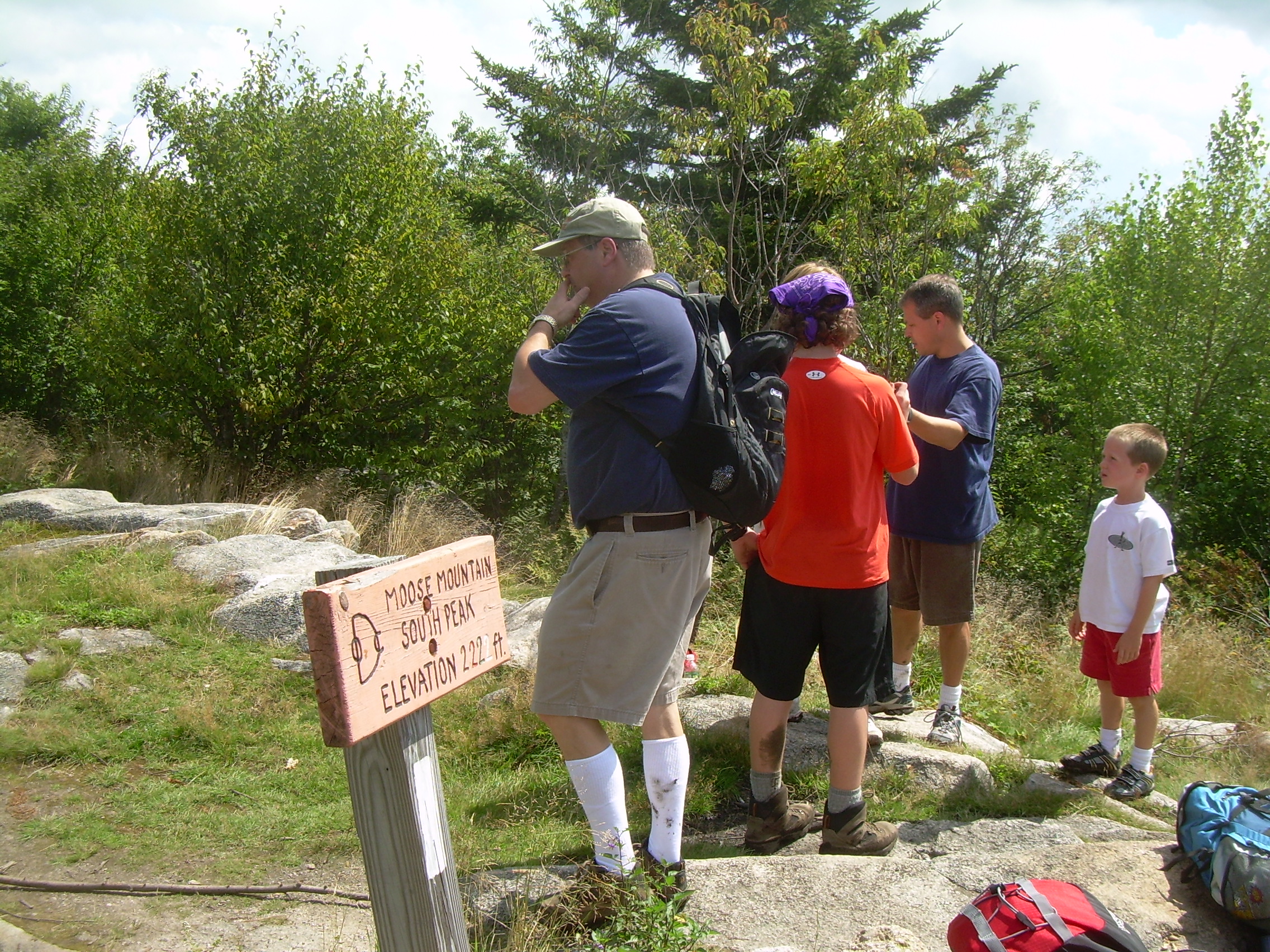
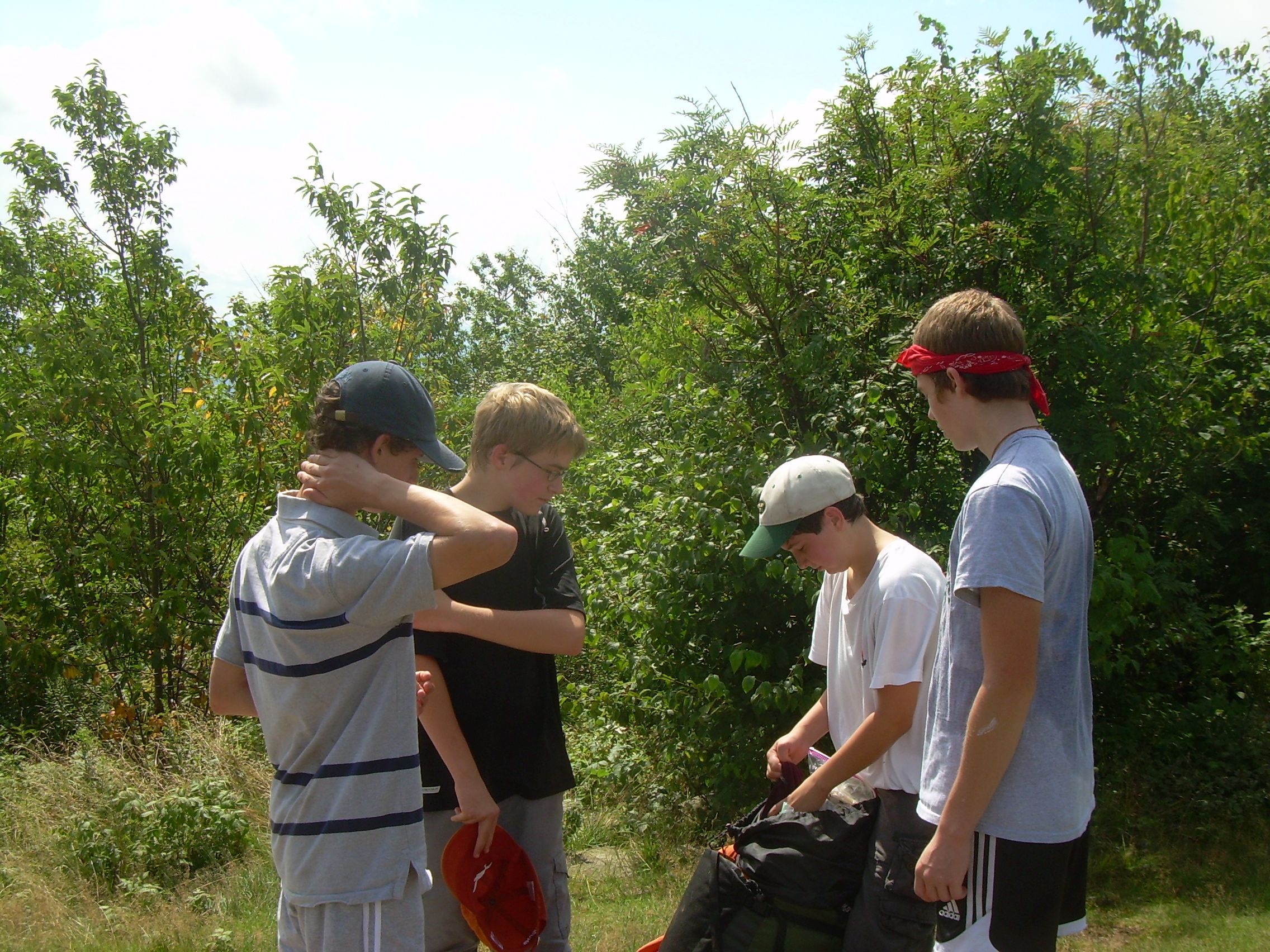
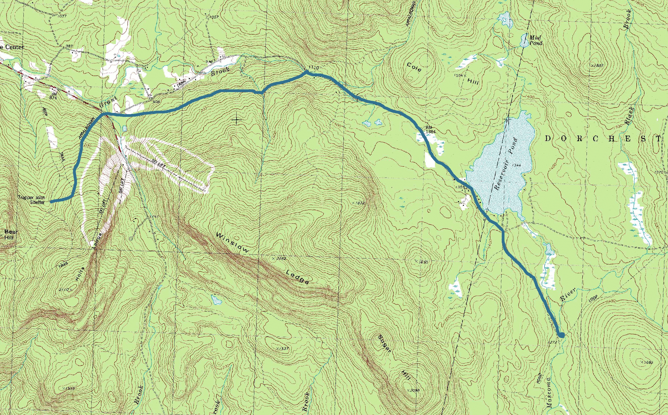
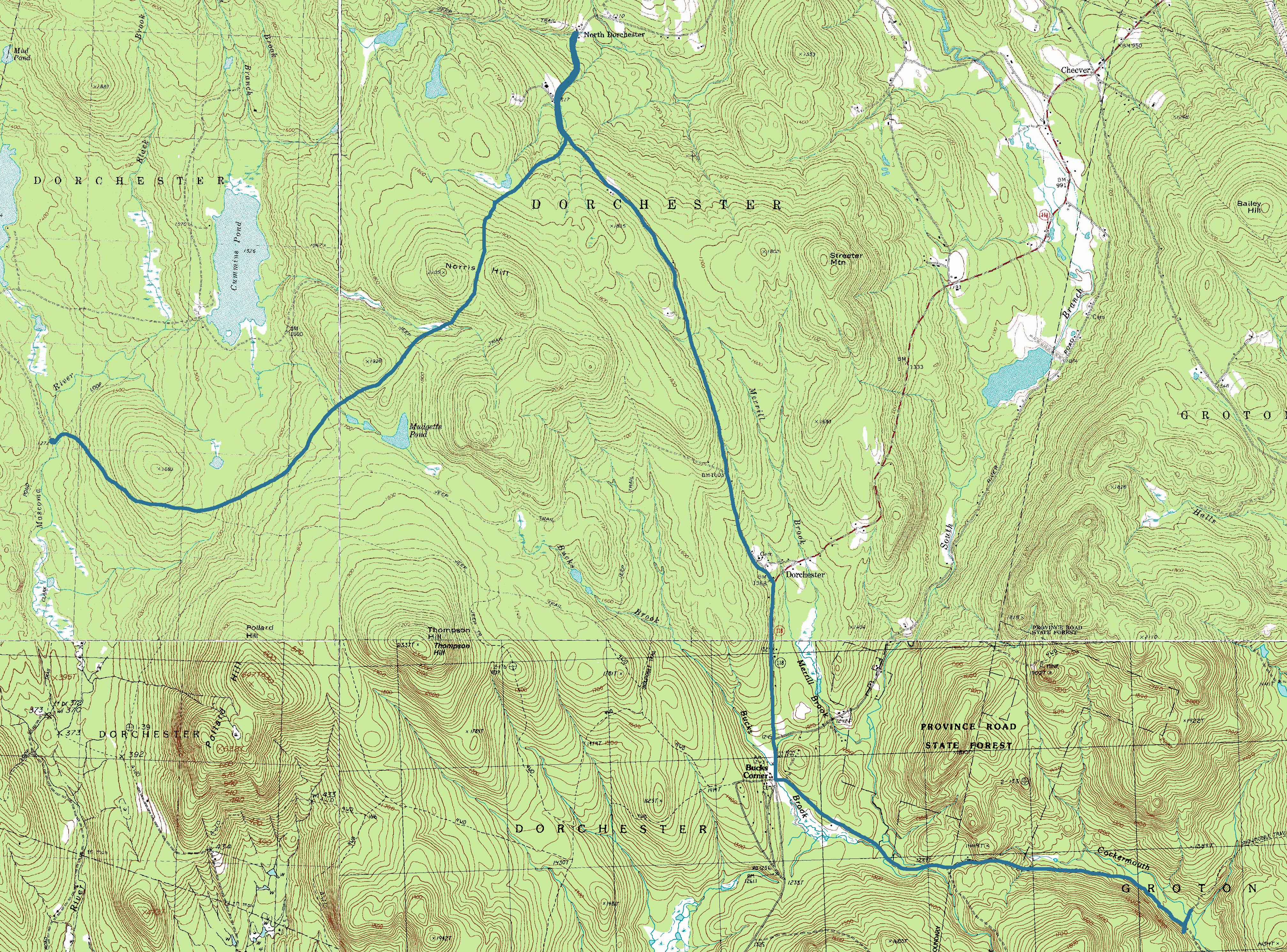
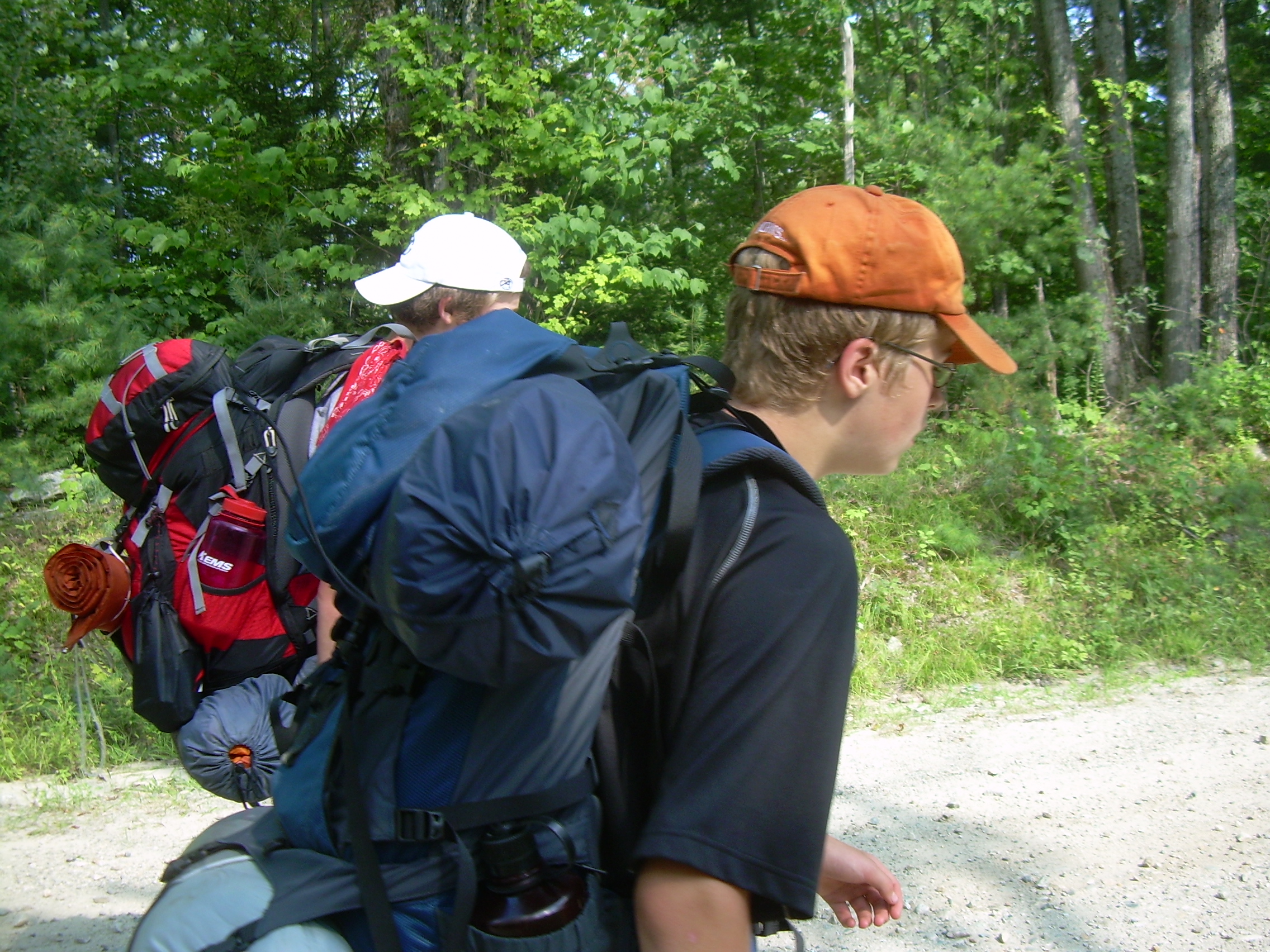
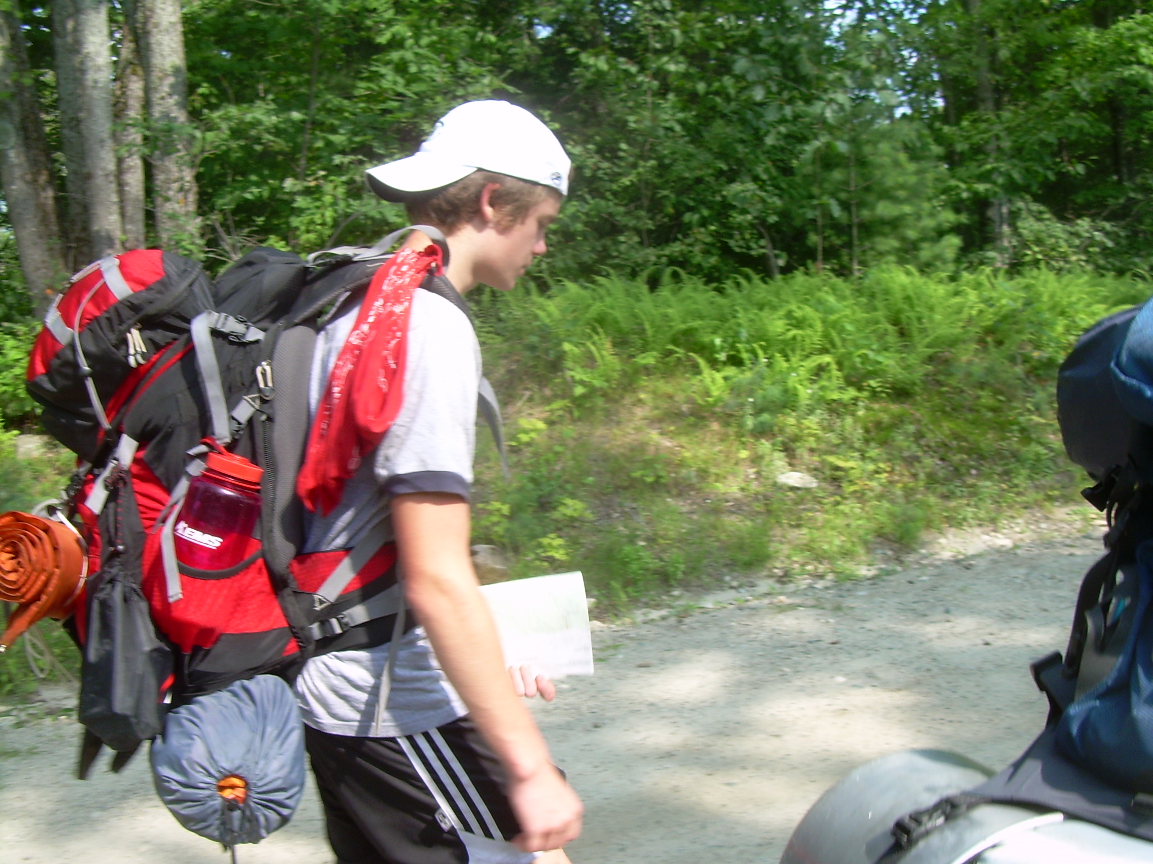
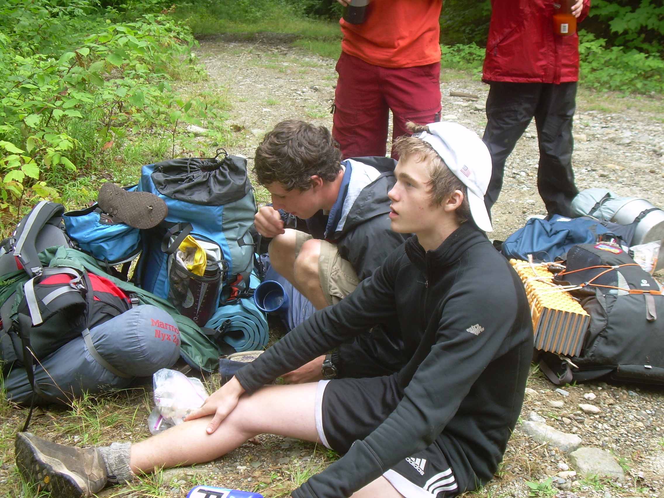
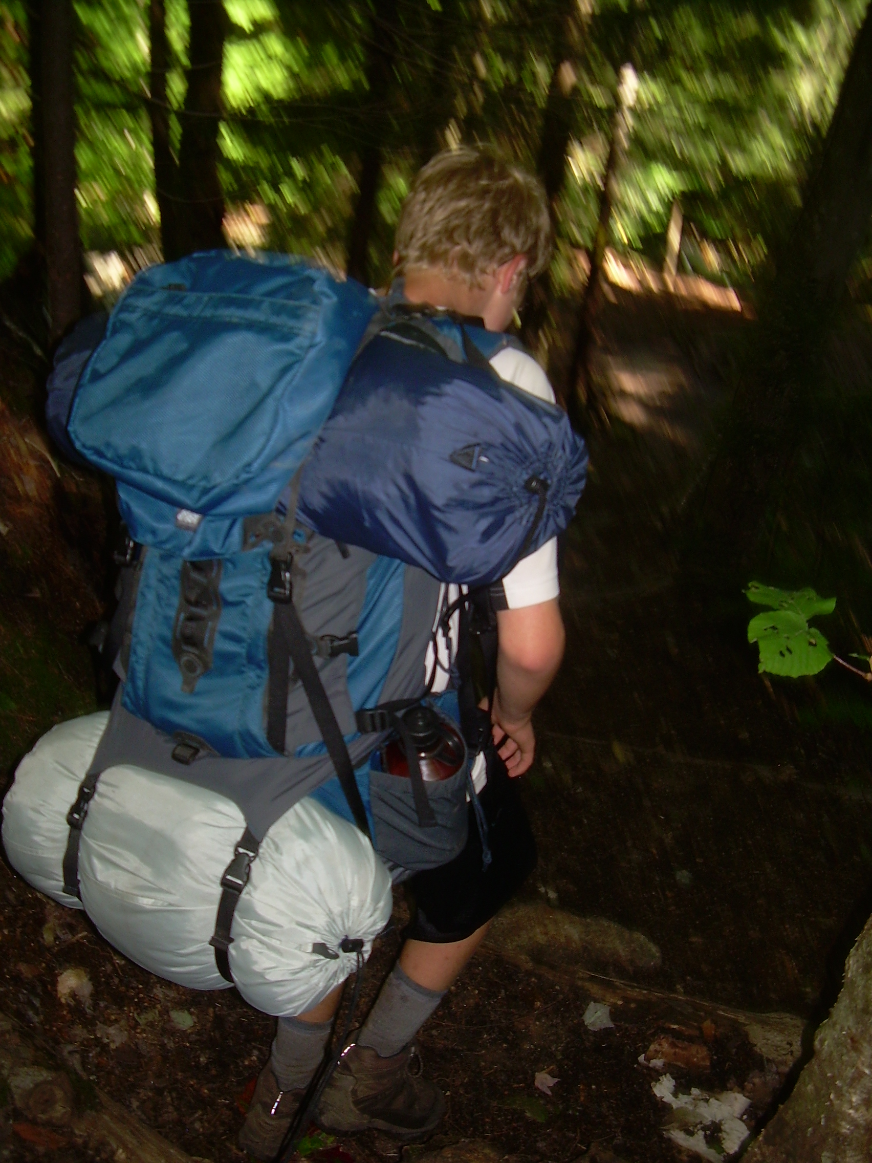
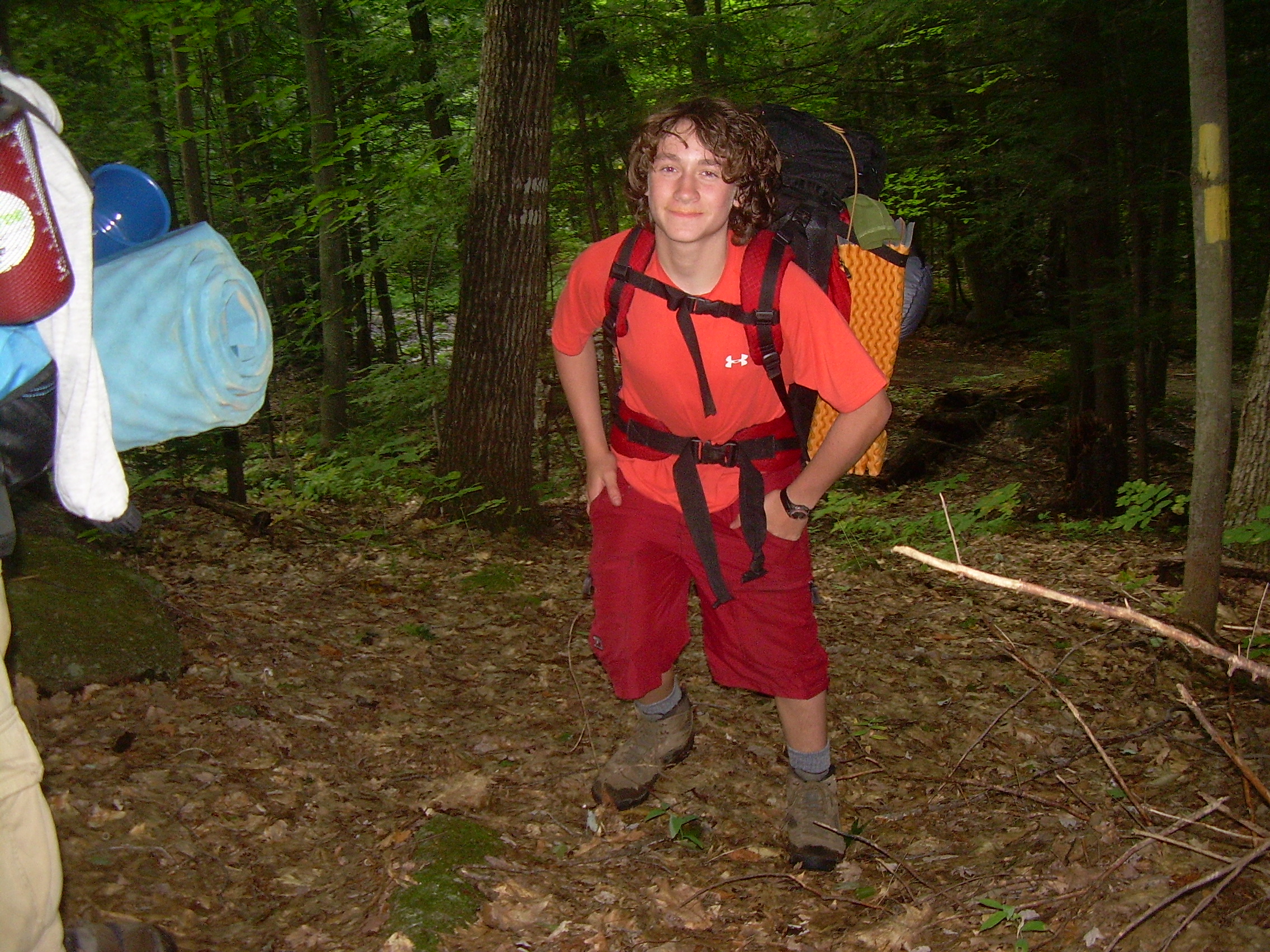
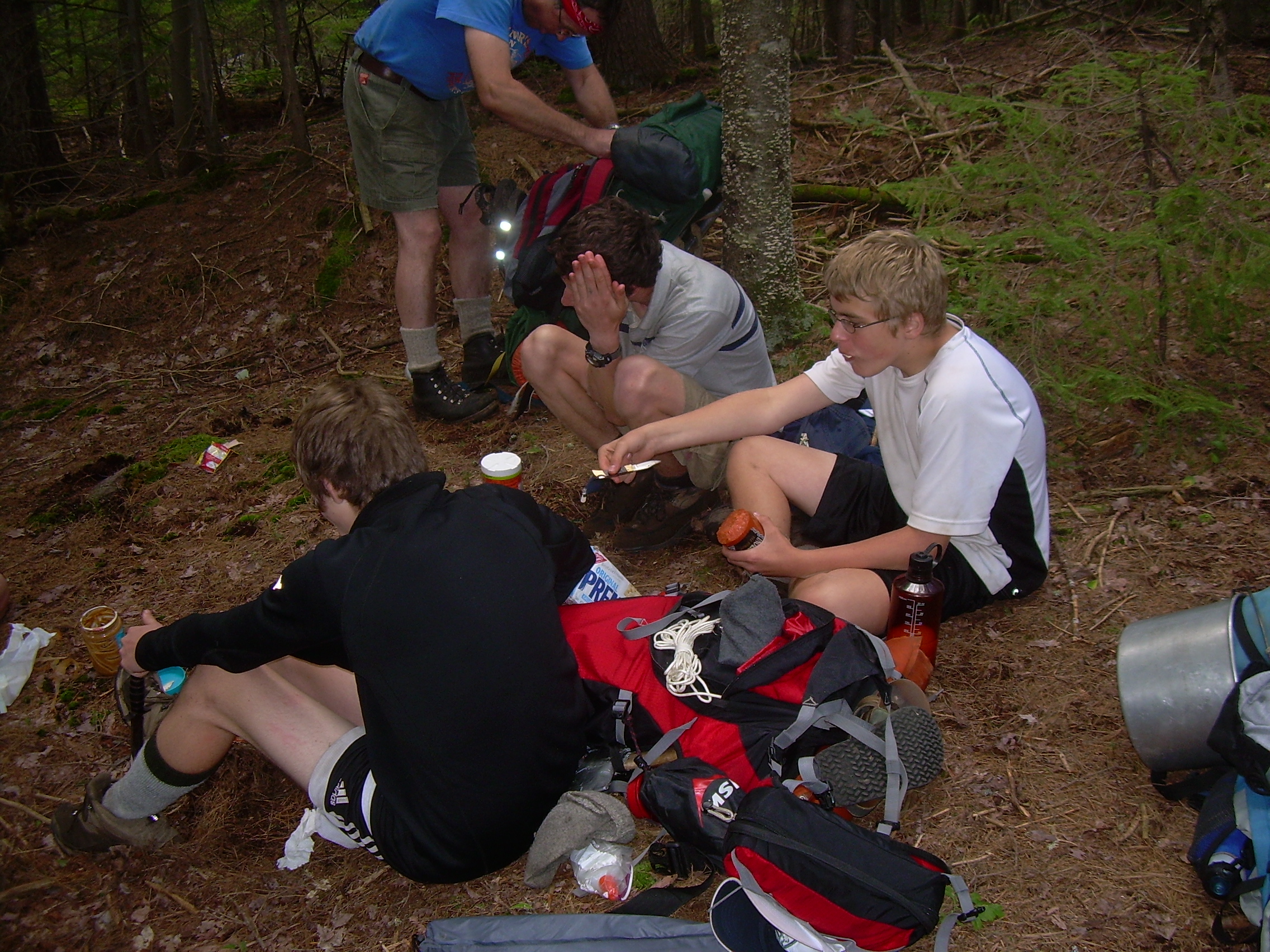
I woke again at 6:30. Seth was up a bit before me. We stated up the stove and got water going for breakfast. I made myself a cup of coffee from a coffee bag - an experiment for me. It really was much better then I thought it would be. We then had oatmeal and hot chocolate for breakfast. The crew worked quite well to break camp, pack up and we were shouldering packs at about 9:00. Oh the moment that a pack hits a sore shoulder! I tell myself that the second day, in particular the morning of the second day, is the toughest. David was in good spirits as we headed out, and Conner's legs don't seem to bother him, but just as we approached the road by the skiway tragedy struck! David took a tumble and twisted his ankle. I think a fall like that has a lot of multiplying factors. He had a full pack, which brings you down hard. It also twist the body beyond control. The fall was downhill and also David's leg were still felling the effects of the previous day. It is hard to catch yourself with tired and aching legs. Kenneth Call is an emergency room doctor. He identified which tendons had been strained. We wrapped and bound up David's ankle and let him rest for a while. But eventually it became clear that he wasn't going to be able to continue on the next thirty or so miles. Since we were at the trailhead where Kenneth had left his car, Kenneth and Jordan took David back to Hanover. We told David that if he felt better he was more then welcome to join us at the first or second food drop. The trail from here to the Smart's Mountain trail head is twisted, rocky, wet and muddy, but it is not very steep and we made good time. At the Smart's Mountain trailhead we stopped for lunch. Pepperoni and crackers. We had also planned on having cheese in this lunch, but the cheese appears to still be in David's pack. I hope his family can enjoy it. We shoulder our packs and head east on Dorchester Road. This road seems like a highway after a day and a half on the AT. Even though it is uphill to Reservoir Pond, we fell like we are sprinting. This stretch of road also gives me a chance to talk with Kenneth and get to know him better. The Scouts are well ahead of us and seem in good spirits. They have paired up to hike, but the pairing seems to often shift. Finally we reach our high ground and come level with Reservoir Pond. The pond is lined with cottages and cabins, and we have agreed to stop at the Hinnman Cabin. Years ago, David will remember, the last outing of our Webelos den was an overnight at this DOC cabin. We are looking for a forest service road which heads southwest from here. We check out a few potential jeep trails, but when we find the right one it seems so clear and obvious. The road has a rope across it so we will not see much traffic. But the road bed itself is ideal for walking. Well graded, dry and covered with tall grass, with two wheel tracks. The only thing which slows us are the black berries which keep distracting us from our walk. The road follows the Mascoma River. Along the way the boys spot a camper, the type which is normally parked in the bed of a pick-up truck. It is alone out here in the woods. Perhaps someones hunting lodge? After a little over a mile we come to a convergence of jeep trails, which includes a bridge over the Mascoma River. This looks like a good spot for tonight's camp. This is one of our shorter days when counting miles. But because of the time spent with David's ankle, the afternoon is well progressed. On the west side of the river is a grass area where the jeep trails converge. We set our tents up here. On the east side of the bridge is a graveled and scared area which has recently been cleared, perhaps a staging area for future logging? We use the east side for a campfire area. The boys play in the water and I walk downstream until I found a large rock in the river. Here I washed myself and some of my clothing. Even though an hour earlier it had clouded up, now it is sunny and after being in the river I feel completely refreshed. We had "Oli Special" for supper tonight. This is Rice-a-roni and a can of chicken. It is a simple and very satisfying meal. After clean-up we have our campfire and watch the night descend upon us. Eventually Seth and Jordan head off to their tent, and then Conner and Galen. Kenneth and I talk for a while, then douse the fire and head for our own tent. It is very black until the moon comes up, and I can see a million stars tonight.
|
|
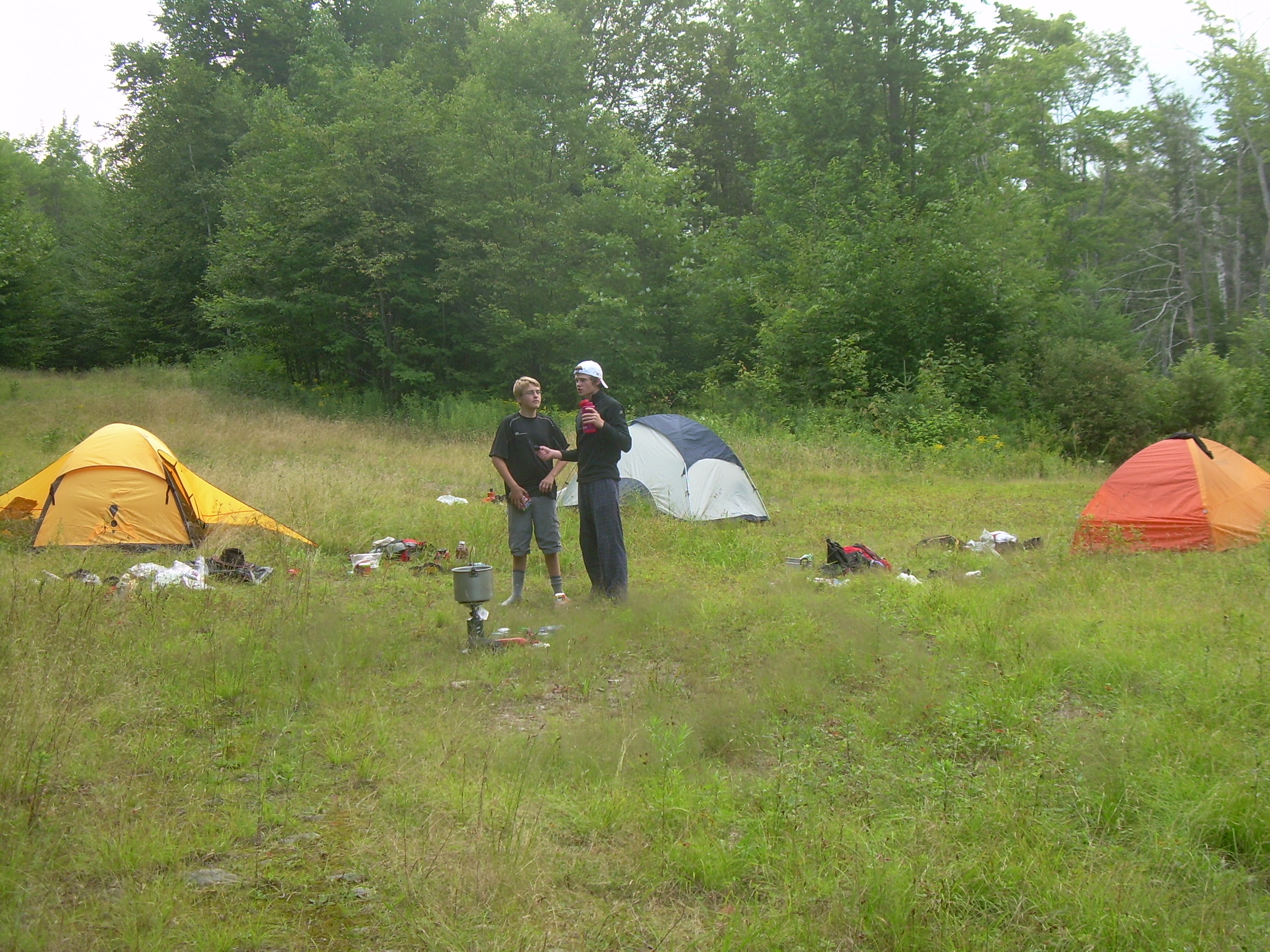
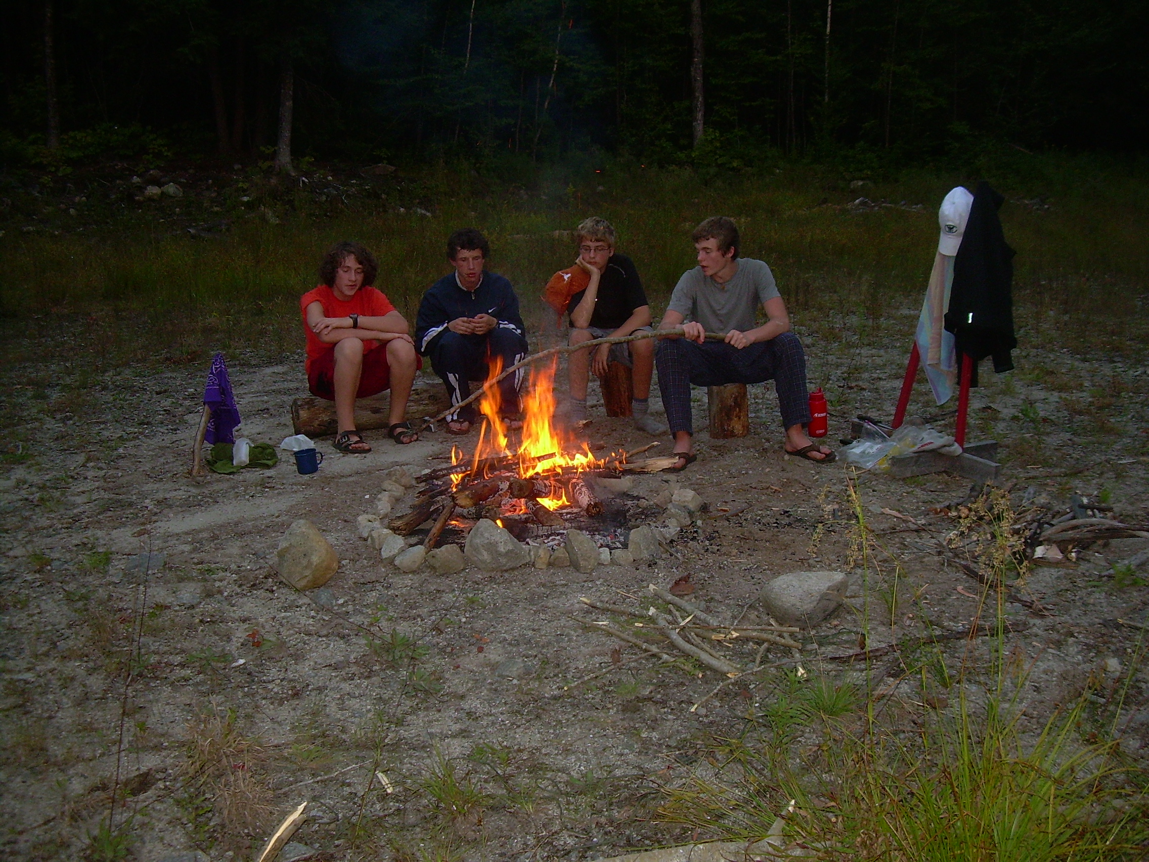
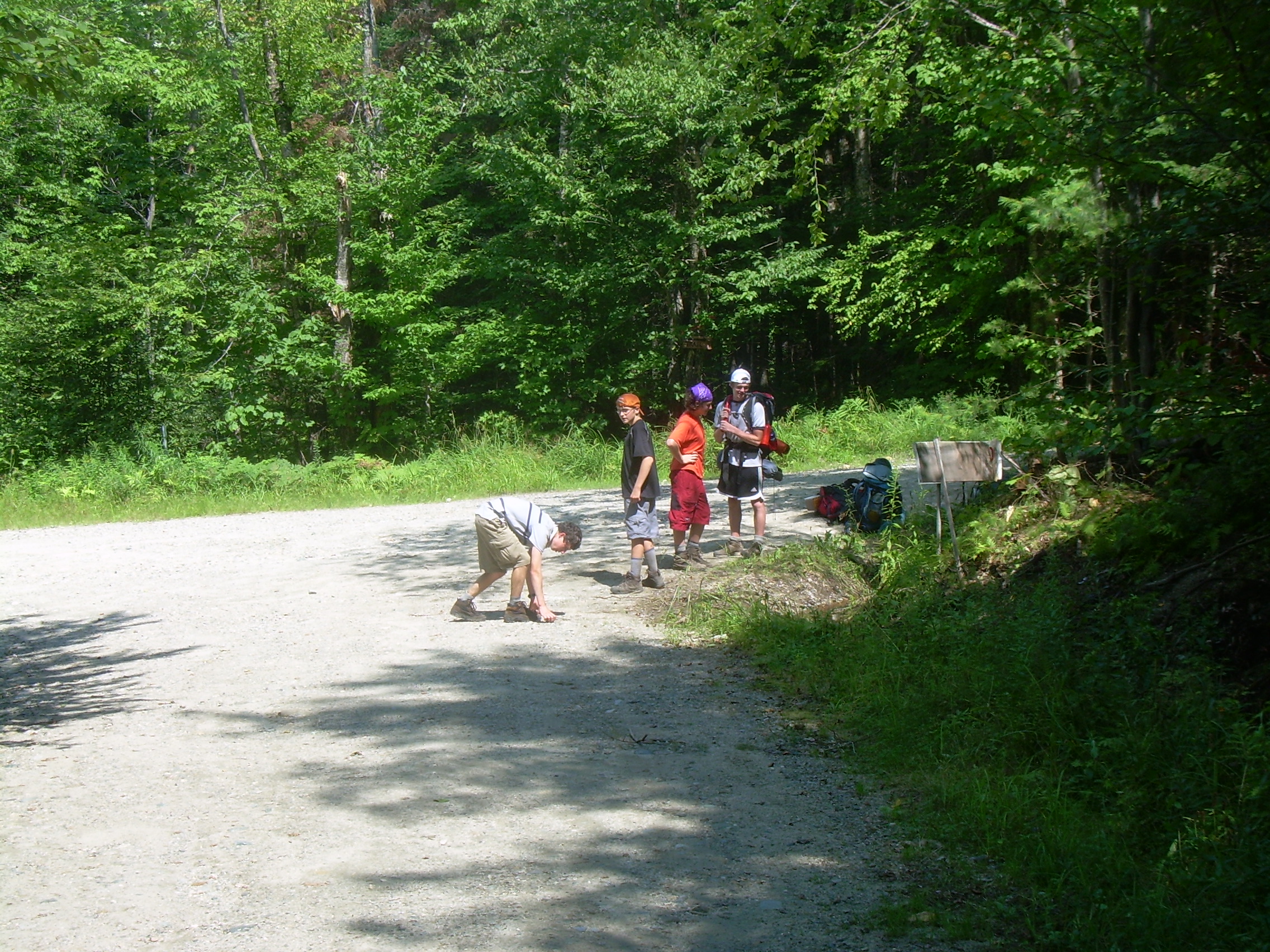
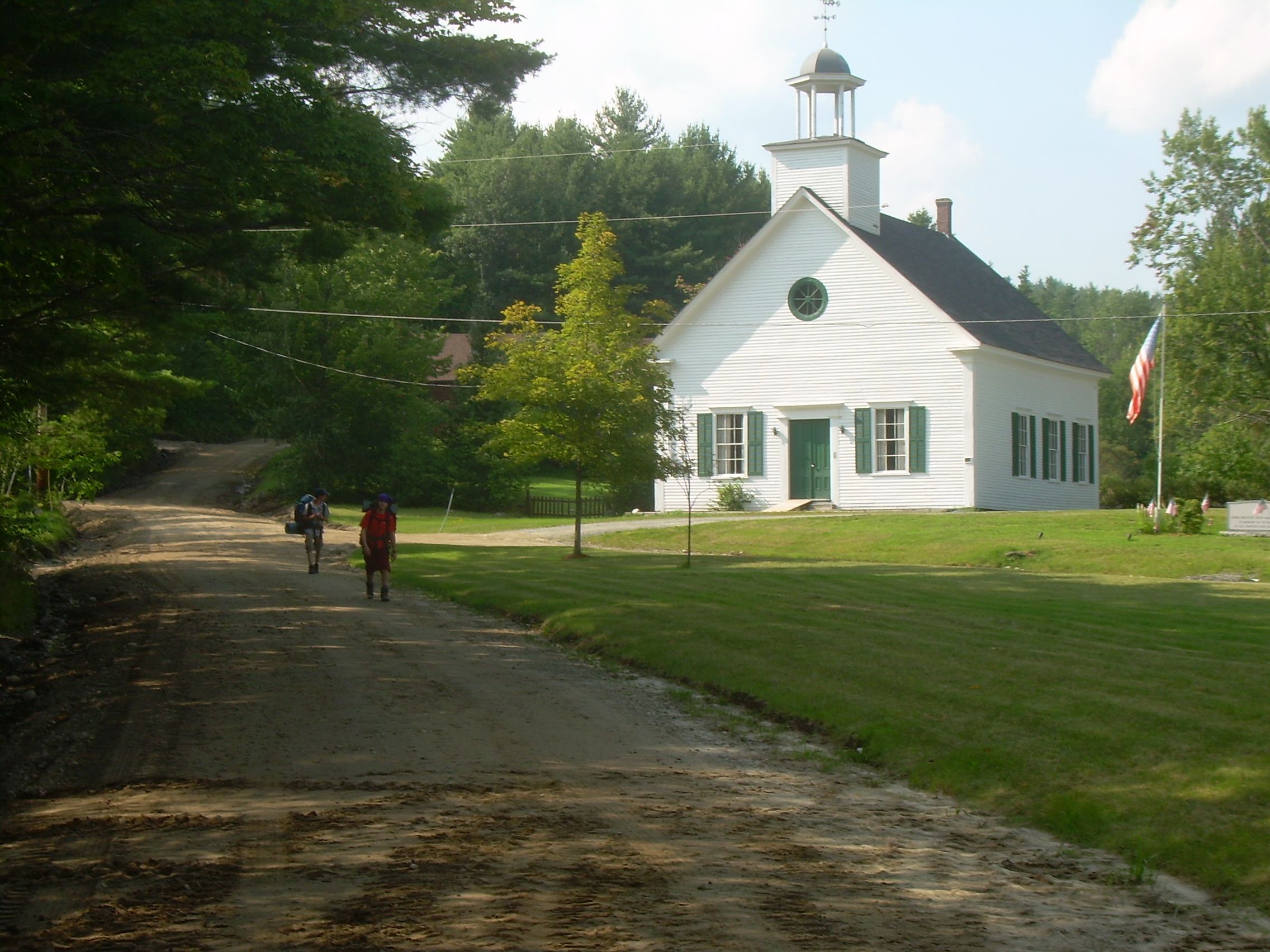
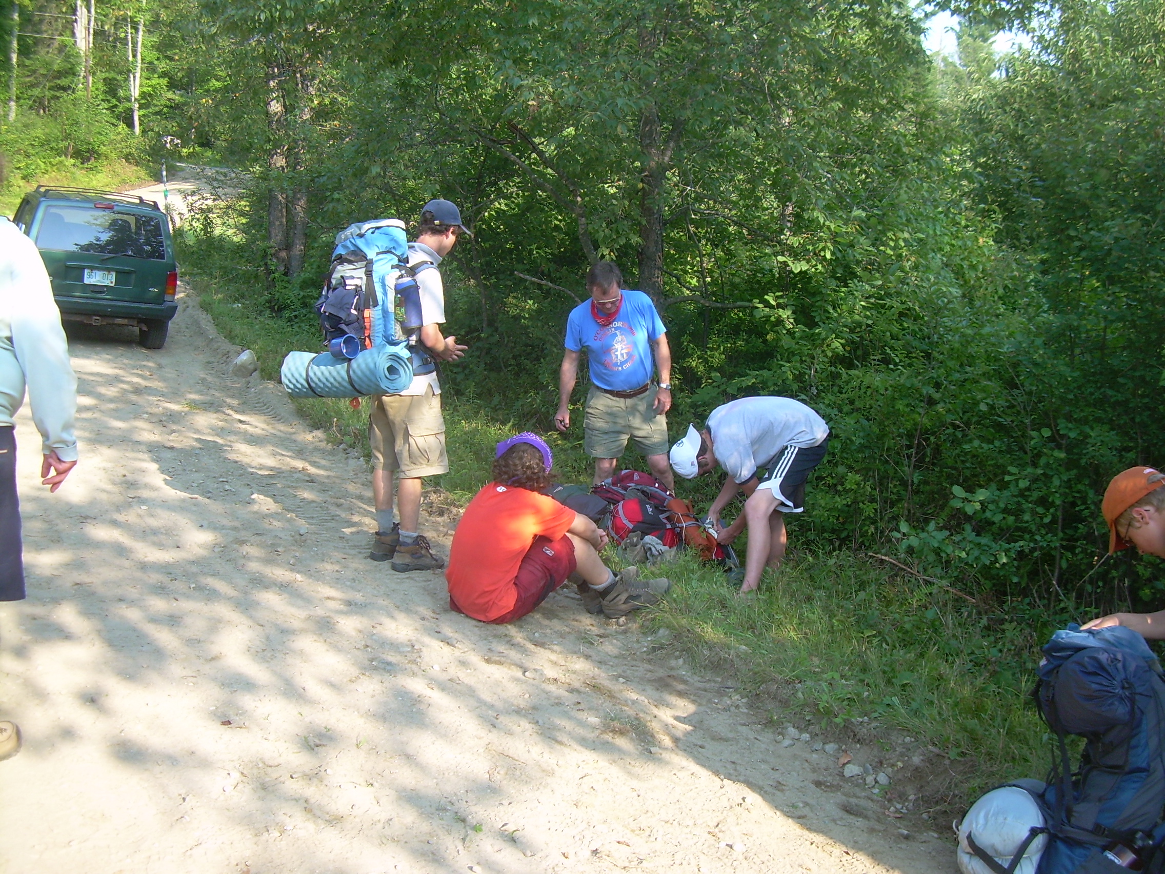
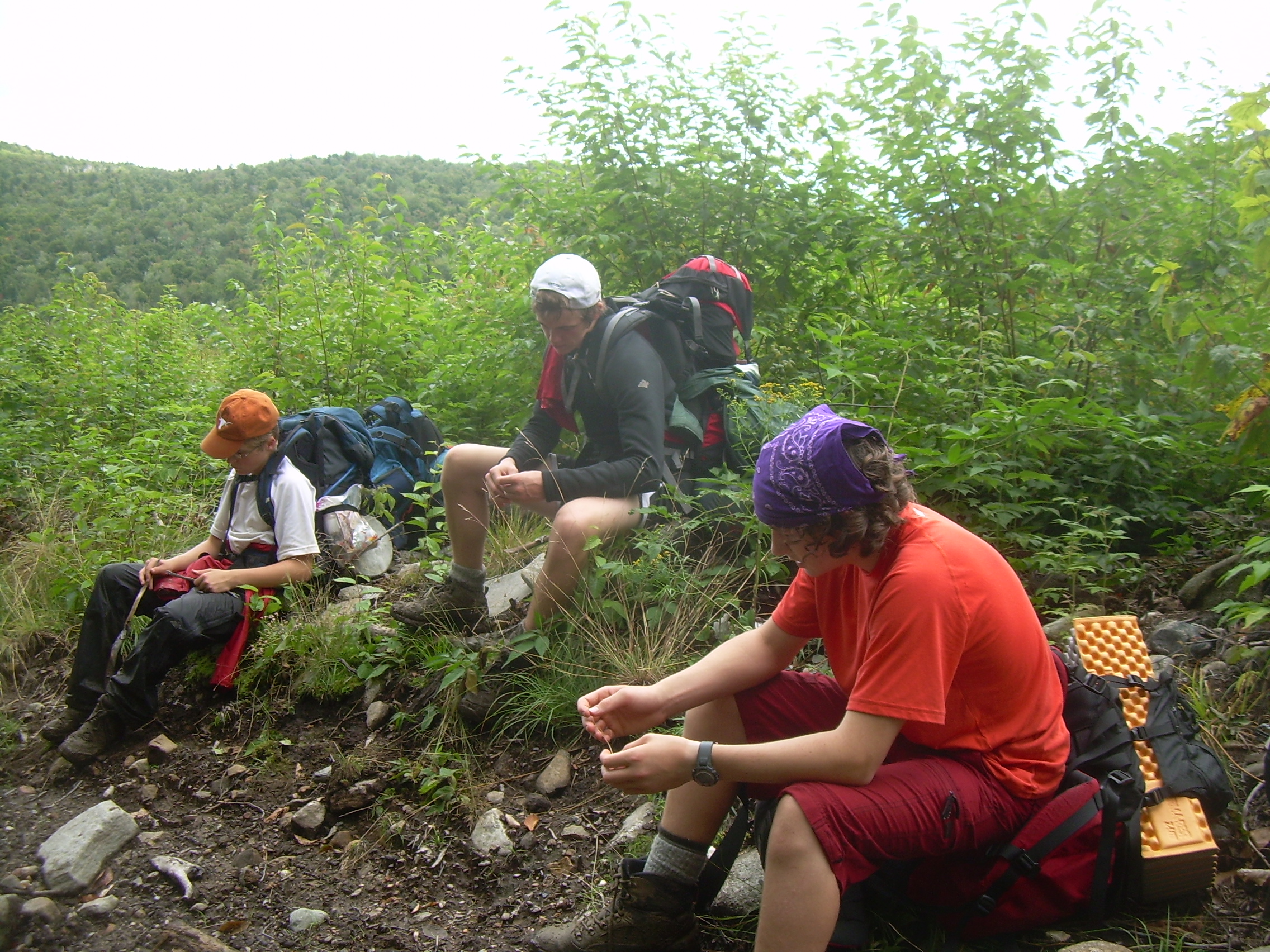
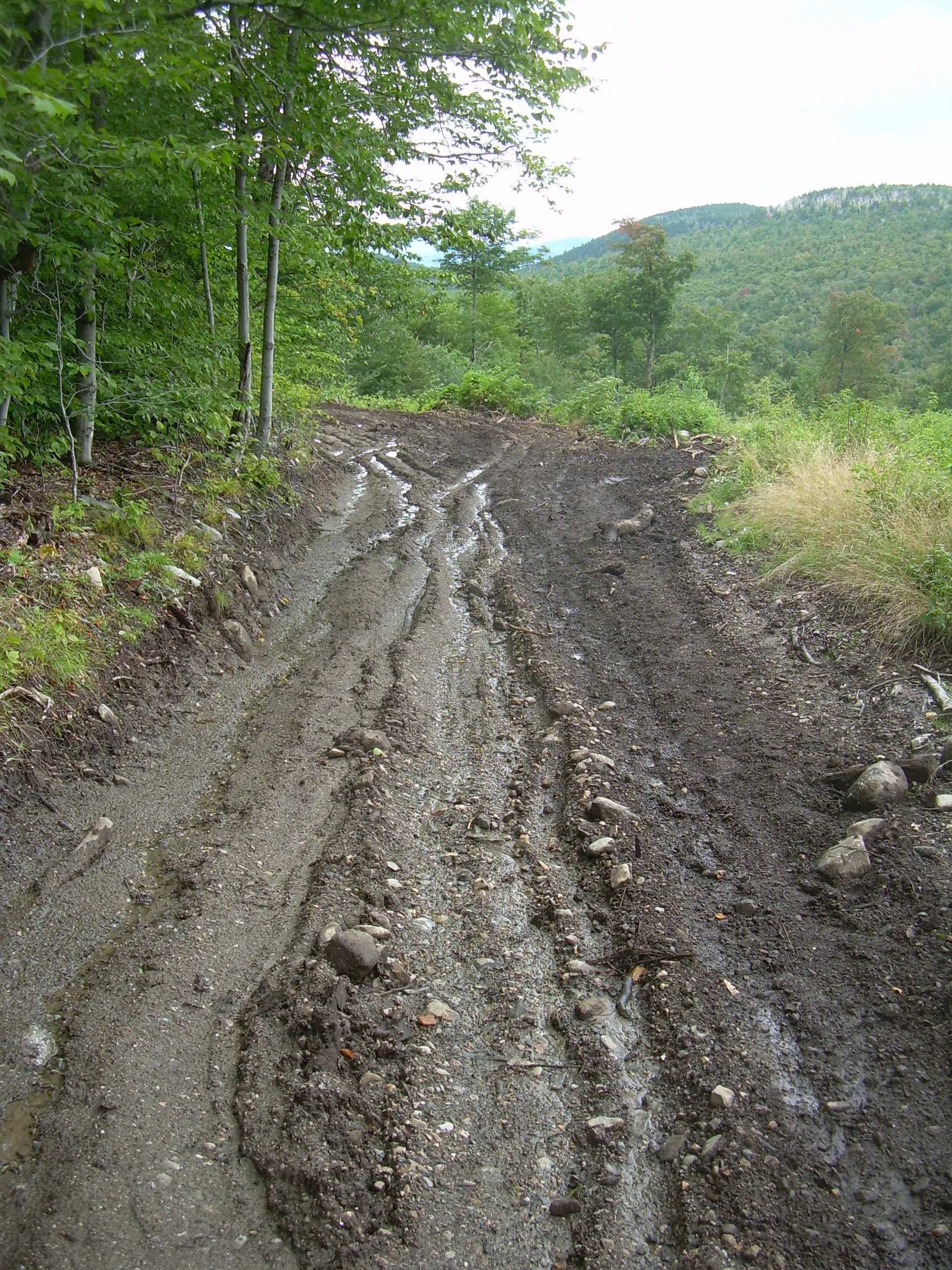
Our packs are light today. We have a food drop in the afternoon, so the only food we are carrying is today's lunch, as well as gorpe and granola bars. Our way takes us to the southeast, climbing up an old logging road through a maple wood lot. A stream is running down the road and we dodge our way from rock to rock, around pools of water and mud. There are great big moose tracks in the middle of the trail. On a side path I found an old, 1940's flat bed truck, left in the forest to rust away and slowly return to the earth. At the top of the rise we pass a gate and cross into the "Green Wood Lot". Soon we come out on a convergence of several gravel and logging roads. We consulted our topographic map. This intersection seemed a bit too early to us, it should have been in a quarter of a mile and on the next hill side. But we made the best of it and chose the eastern most road out. We are looking for trails to the east and maybe a bit to the south, but the roads and topology don't seem to match what we expected. Still, there is a very good road to the east and so we march on. People are in good spirits and we rarely stop to rest. Today is a lot of horizontal miles and not much climbing. We stopped for lunch on the side of the road. Peanut butter, Jelly and pita bread. We augment this by adding black berries to the peanut butter. It is like having extra jelly. And then we continue. The trail seems to be drifting to the north more then we would like, still we continue on. Later on we were told that since Bob Woods bought this part of Dorchester, he has build a number of new roads and therefore many of the old town roads have been unmaintained. Therefore our topo-sheet, which dates to 1995, doesn't reflect what is there now. We had a current snowmobile map with us too and should have put more reliance upon it. Finally we came through a gate and left the Green Wood Lot, and found ourselves upon North Dorchester Road. The problem is that on the topo-sheet it shows the road going downhill to the south, unless we were very far north. I walked a hundred meters in both directions and saw some farm houses to the north, so the whole crew went that way looking for someone who could tell us where we were. The first few farms had no one home. Finally we found a house with two elder men, probably in their eights, sitting at a picnic table. There yard was filled with an amazing collection of ancient vehicle, cars and trucks, some in very good condition, from the 1930's and 40's. There told the boys that Buck's Corner, our rendezvous with the Robinsons and the food drop, was a few miles south. One of them, with a thin beard and a kind smile explained to us about the roads in the Green Woods all having changed, and that we were in North Dorchester. The mystery was explained and we turned south. We have 3-4 miles to go to our meeting point, and Kenneth's feet are a mess of blisters. So he eventually sends the rest of us on ahead. The scouts make great time on the south push. But this is day three and I think everyone is hardening. We roll down North Dorchester Road and in an hour find ourselves in Dorchester itself. This is a pretty green, with a classic white New England church and a few house. The highway just to the southeast, missing the town. We are soon on rout 118 and a mile later at Buck's Corner. The Robinsons are already there and have soon recovered Kenneth. The afternoon is passing, it is past 4:00 now, so we quickly divided up the new food and Colin Robinson joins us for the rest of the trek. Off the highway and back onto a dirt road, we continue east on Province Road. The bridge at one point was washed out and a temporary logging bridge put up. Beyond this we meet "local color", as Colin calls him. This is a guy who lives in a tiny hut on this obscure road. He has a pond, mowed grass and a few tents pitched next to the pond. He nods towards the tents and tells us that relative are visiting. He may appear a bit gruff and a bit of a mountain goat, but he is good natured and delighted to see scouts out hiking. We cross a pass into the Cockermouth watershed. It is all forest here, again with black berries lining the the road. A mile later Colin is listening for running water. There is a waterfalls on the side of the valley near where we will camp. Finally we hear the laughing waters and see this happy stream dash out from a clef in the rocks. We fill our water bottles and then find a trail into the woods. There is a bit of an opening a hundred meters back where we make our camp for the night. With the extra miles to North Dorchester, it is well into the evening. But the scouts make there camp quickly and start the spaghetti and sauce. We have a lot more spaghetti then we can eat. The are some cut-up logs around the clearing which we split with Colin's hatch, from his scouts days, and we start a fire. Again the sky is threatening, but the rain holds off. We run the food up in a bear bag and take tomorrow's cold cuts, wrapped in a double layer of plastic and submerge them in the Cockermouth River, with a log on top to keep them cold. We have also rigged a fly near the fire. As we head to bed it starts to lightly rain, and then we are entertained with a lighting show, and a downpour. This is a new tent, so I check around it, but we seem to be dry.
|
|
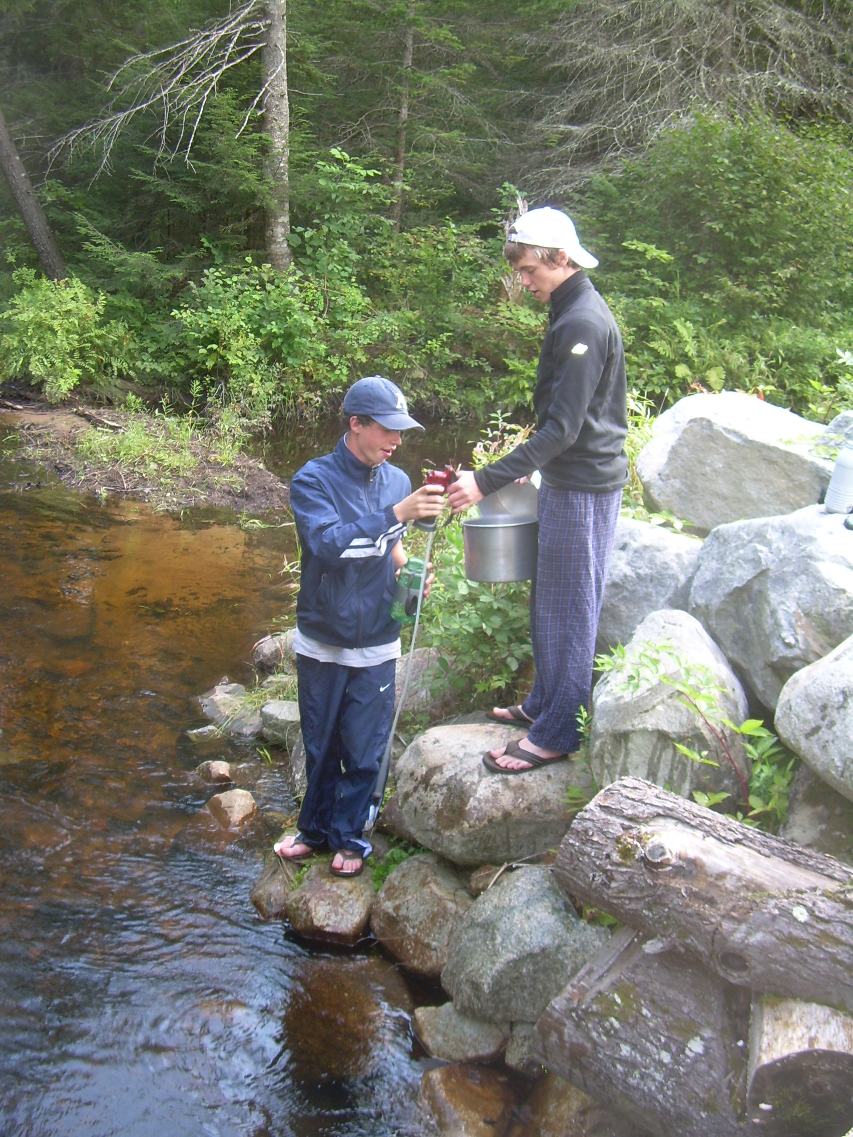
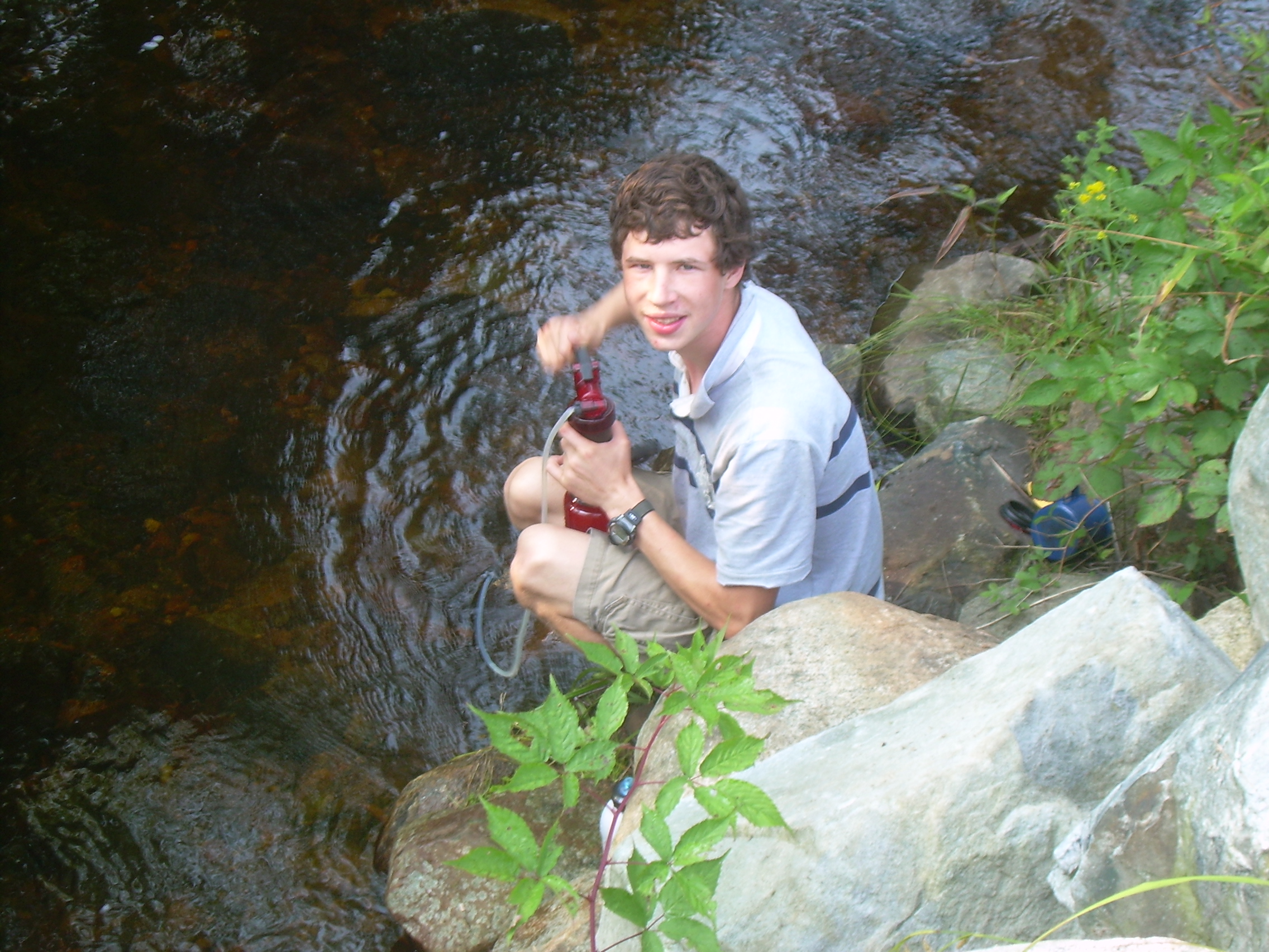
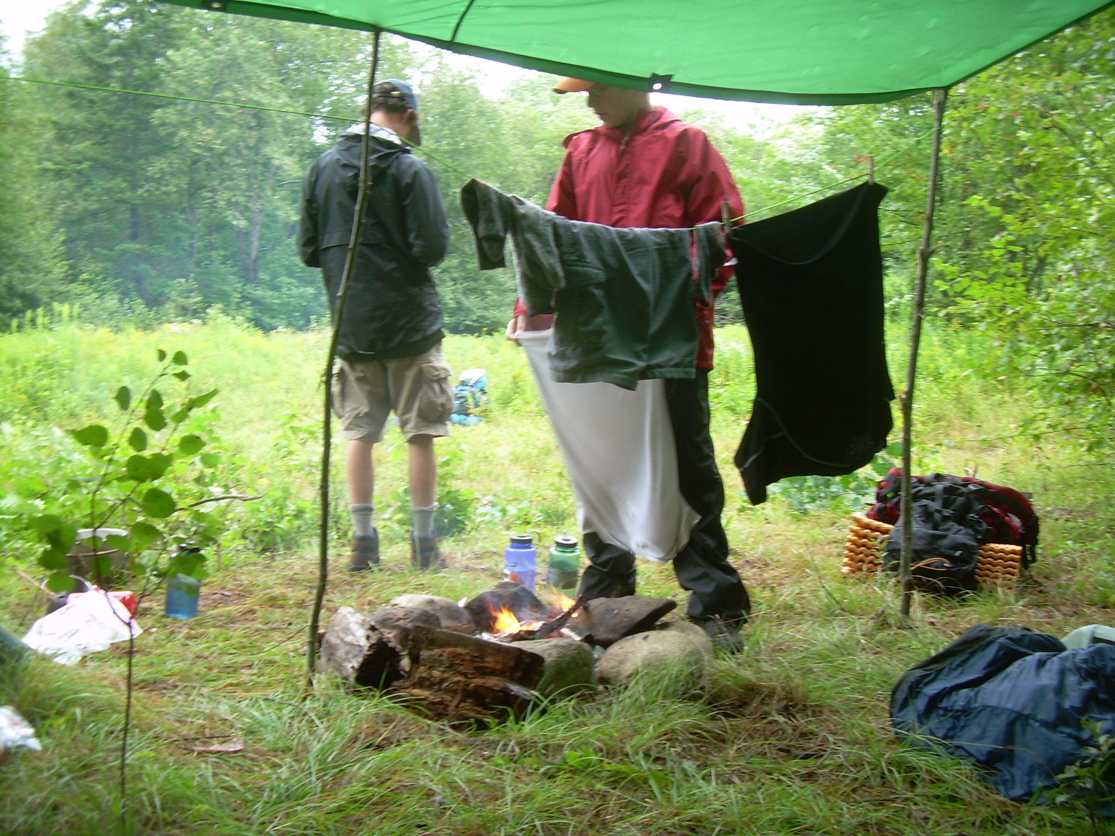
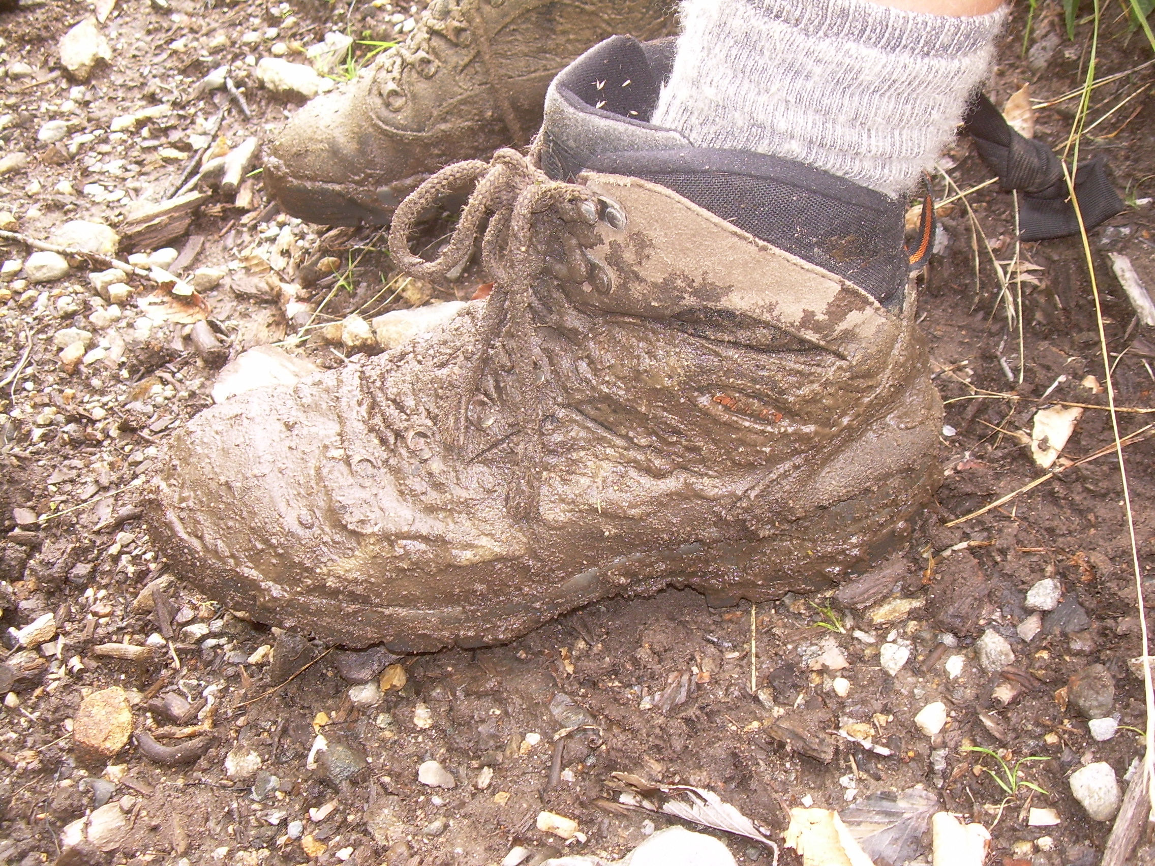
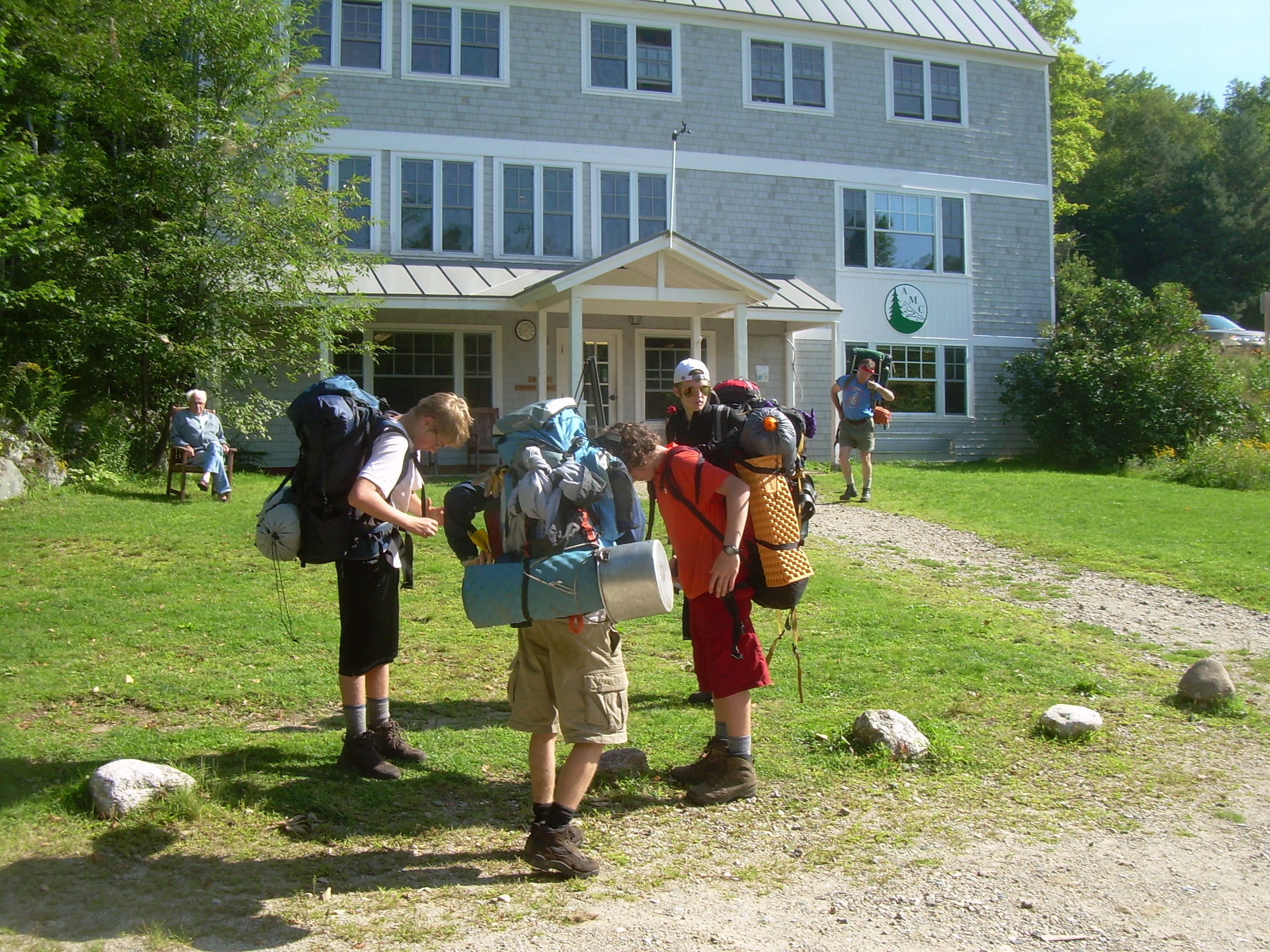
My tent has stayed dry except for one place where I did not set two small flaps in the door right. So through the night there has been a drip. But the water didn't spread because my waterproof boot was there to catch it. It is now nearly level with rain water. It is a bit of a challenge to get the fire going, but I found some birch-bark near our tent. This piece had curled up such that the inside rolls was bone dry. With Colin's hatch we were able to split some wood, and get to its dry inside and get our fire started. By 6:30 the fire is roaring and most of the scouts are up. Somehow Jordan, Seth tent partner is dry. I think there must have been a low spot under one side of the tent. It is raining off and on now, and I am certain it will clear in the next few hours. But for now we all gather under the fly and have oatmeal and hot chocolate for breakfast. Because of the overnight rain the Cockermouth River has risen, the log holding our cold-cuts for lunch has floated away, and our cold-cuts have vanished with it. I am sure we will survive somehow. It is nearly 10:00 by the time we finally shoulder our packs and head off. The rain has stopped, but our tents are heavy with water. However we are heading to a cabin tonight which will give us a chance to dry off no mater what the skies drop on us. We continue east by southeast down Province Road, following the Cockermouth. Eventually we emerge from the forest into pastures and farm land. The road is even paved for a bit. But we are not on the macadam for long, because as we approach the Atwell Brook our path leaves the main road and heads south. The Atwell Trail is a four-wheel drive jeep trail in the summer, and a snowmobile trail in the winter. As this point it is a simple dirt road following the brook and climbing out of the Cockermouth valley. The hardwoods which surrounded the pastures soon give way to pines as we start a long climb. From this point it is six miles south and 2350 feet up to the peak of Cardigan. The boys are feeling pretty hardened at this point and have little trouble keeping a solid pace going. One thing about this trek is that these guys never complain about the hiking. Our crew does not get stretched out along the trail and I have spend almost no time trying to get scouts to speed up, or slow down, to stay together. In this respect it has been a simple hike. We hike and climb and stop occasionally for gorpe and to discuss our route. We see marking for snowmobiles and still we climb up. Eventually we cross into Cardigan Mountain State Forest. Occasionally we break out into open meadows. The day has become clear, sunny and beautiful. And then we came across an area which has been clear cut. I understand that logging is a real an legitimate use of a state forest and a necessary piece of society, but I have doubts that the best forestry practice were being used here. The skidding of trees out of here has tortured the land, reducing a great swath of the slopes to a mud bath. Conner sinks in up to mid-calf. Tons of this soil will end up in the Atwell and Crockermouth. Finally we find ourselves above the clear cut and in a pass by the head waters of "Number Seven Brook". There is a gravel road and a staging area for the logging here. We stop for lunch, eatting bagels and left over jelly from yesterday, for our cold-cuts have been swept down stream. Perhaps we will find them floating in Newfound Lake? We have climbed from 800 ft to 2300 ft on our way to 3155 ft. So we have done two-thirds of the elevation and we are in good spirits and ready to tackle the rest of Cardigan. We are back to a classic trail, balanced on the spine of the Cardigan ridge. Shortly after lunch we encounter a sign pointing off to Cilleys Cave. We go looking for it, but don't find it. What we do find a spectacular cliff face which gives us a view of Firescrew, the next peak on the ridge. The crew presses on with raising anticipation. Cardigan maybe is not the end of the trek, but it most certainly is our greatest elevation, a true high point of the week. We pass a shelter without pause and climb on. Blueberries are becoming more common. Firescrew, I am told, is named after a twisted, torch-like flame which rose from his summit during a forest fire a century ago. It is a dramatic peak at 3064 ft, but it is dwarfed by its big brother, Cardigan, which literally overshadows it. So we hardly pause on it, but instead we speed off to our ultimate summit. Cardigan Mountain is a spectacular peak, or at least it provides a spectacular view. You can see a full 360-degrees from here, off to the north to the White Mountains, to the west to the Green Mountains of Vermont, and south and east towards lower hills, flatlands, Massachusetts and the ocean. Directly east of us is Newfound Lake, our end of trail. The wind is powerful and the boys enjoy leaning into it. But the howling wind also means that the peak is not a good place to tarry. So we shoulder our packs and head south, past the old fire tower warden's cabin, and down below treeline to the Appalachian Mountain Club's (AMC) High Cabin. I think it has been a physically hard day on the crew, with a lot of mud to slug through and elevation to gain. Also since we started out in the rain, I think we are looking forward to a roof and bunks tonight. We have a few hours of daylight when we arrive at the cabin, so we set out our tents and some sleeping bags to dry. Dinner is Pasta-sides and chili tonight. We are eating well and I will not loose much weight on this trip. A little mishap at plagues us here. While the water filter was being cleaned, the ceramic inner filter was dropped and cracked. This means that we can not just pump water through this filter to clean it. We will either need to find good water, or boil it for the rest of the trek. Cooking is easy at this cabin. There is a propane stove build into the cabin in the kitchen. There is also a wood stove for heating, which is good because the temperature at this elevation is dropping. There was a card game in the evening, but soon we were all in our bunks.
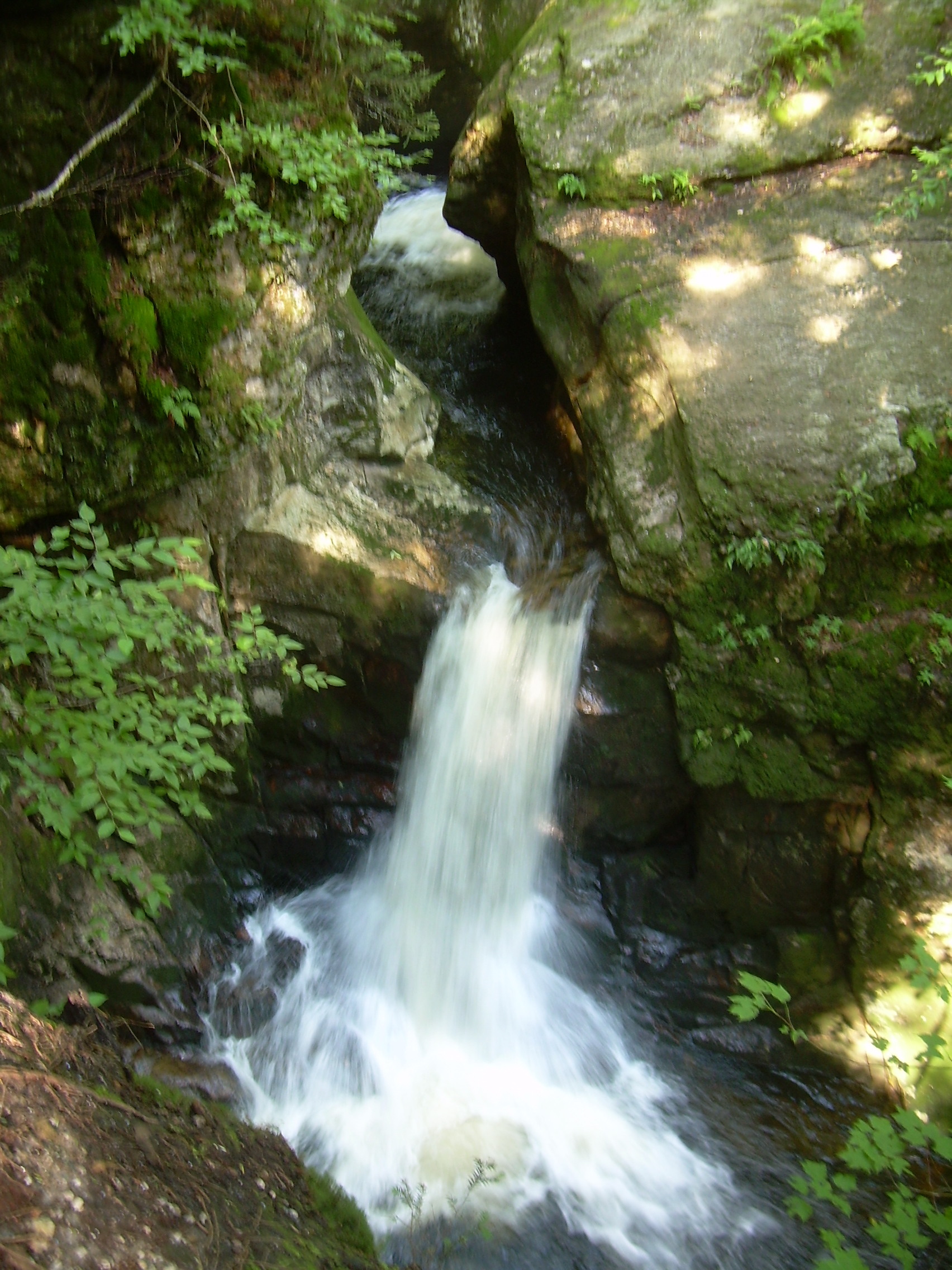
|
|
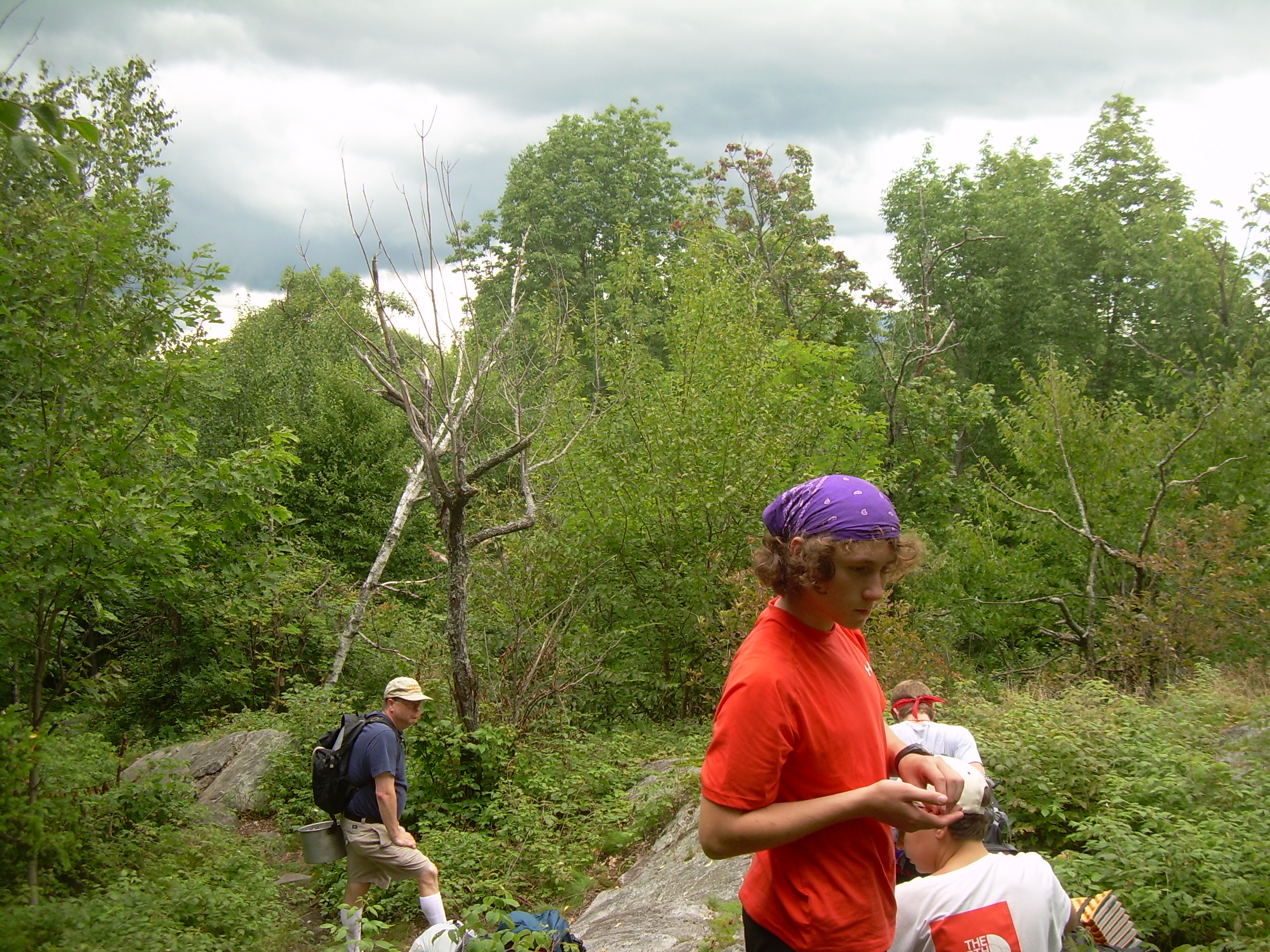
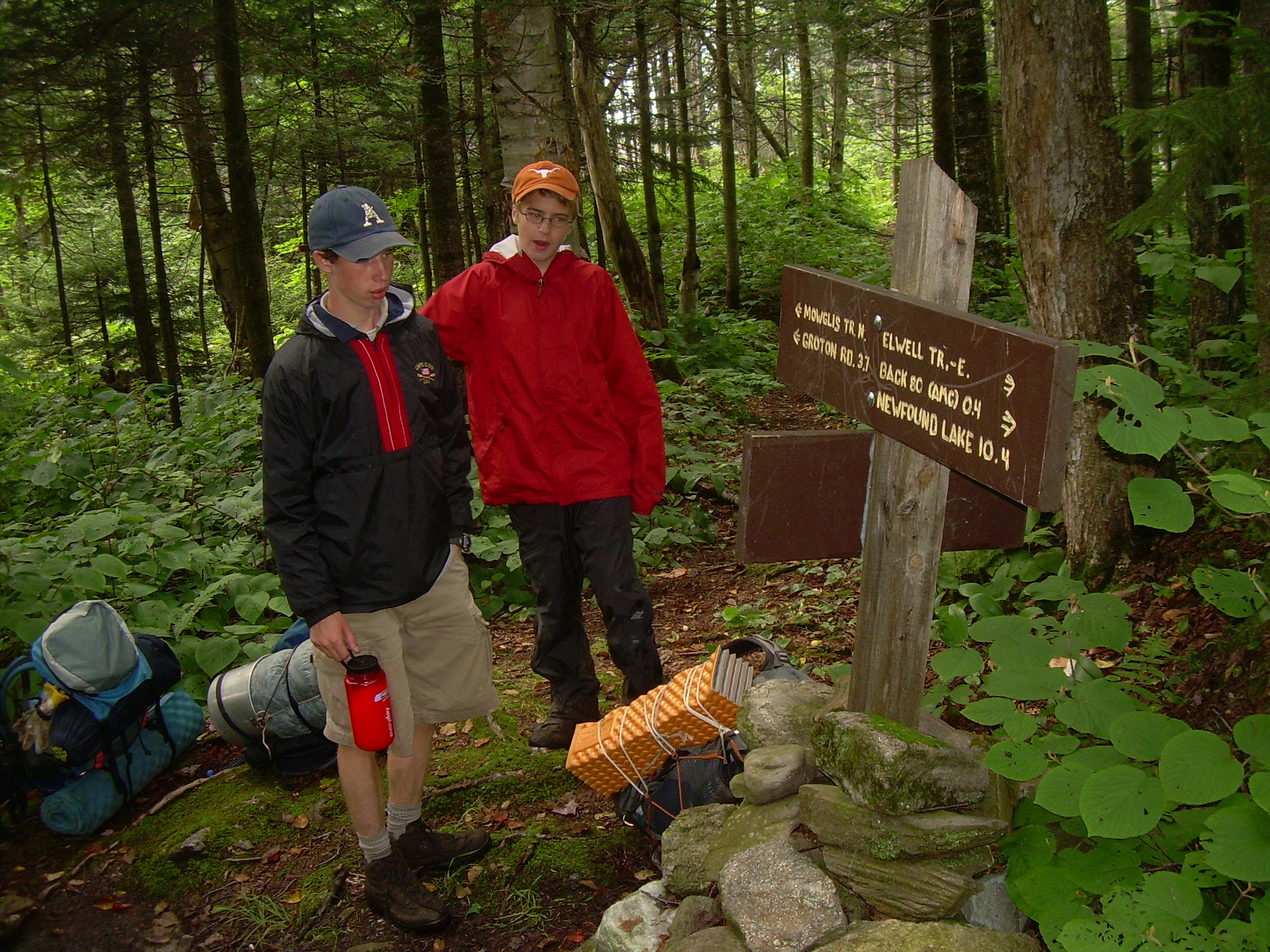
| Trail junction |
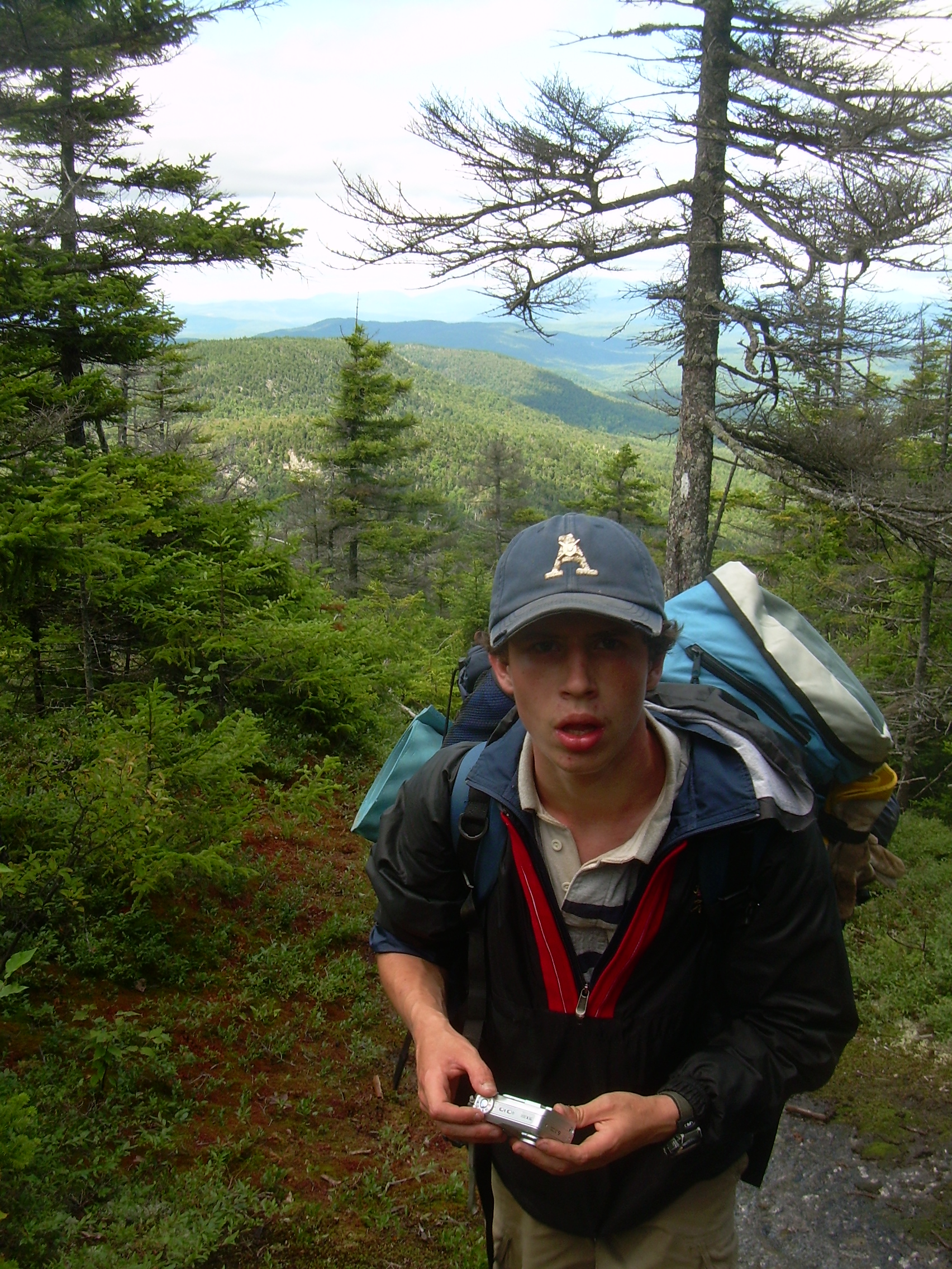
Jordan climbing Firescrew |
Resting on the way up Firescrew |
A view on the shoulder of Firescrew |
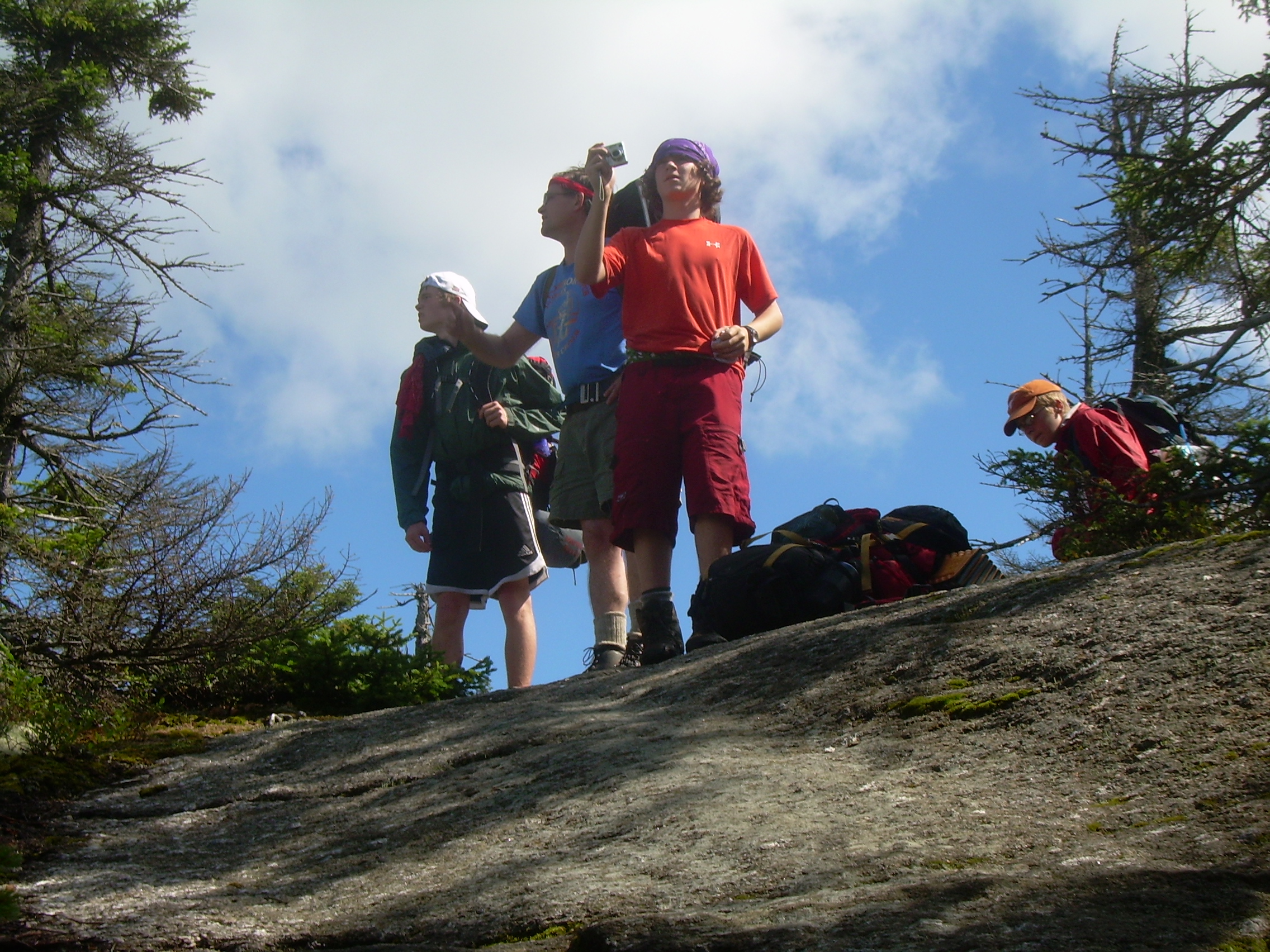
| Topping Firescrew |
Cardigan from Firescrew |
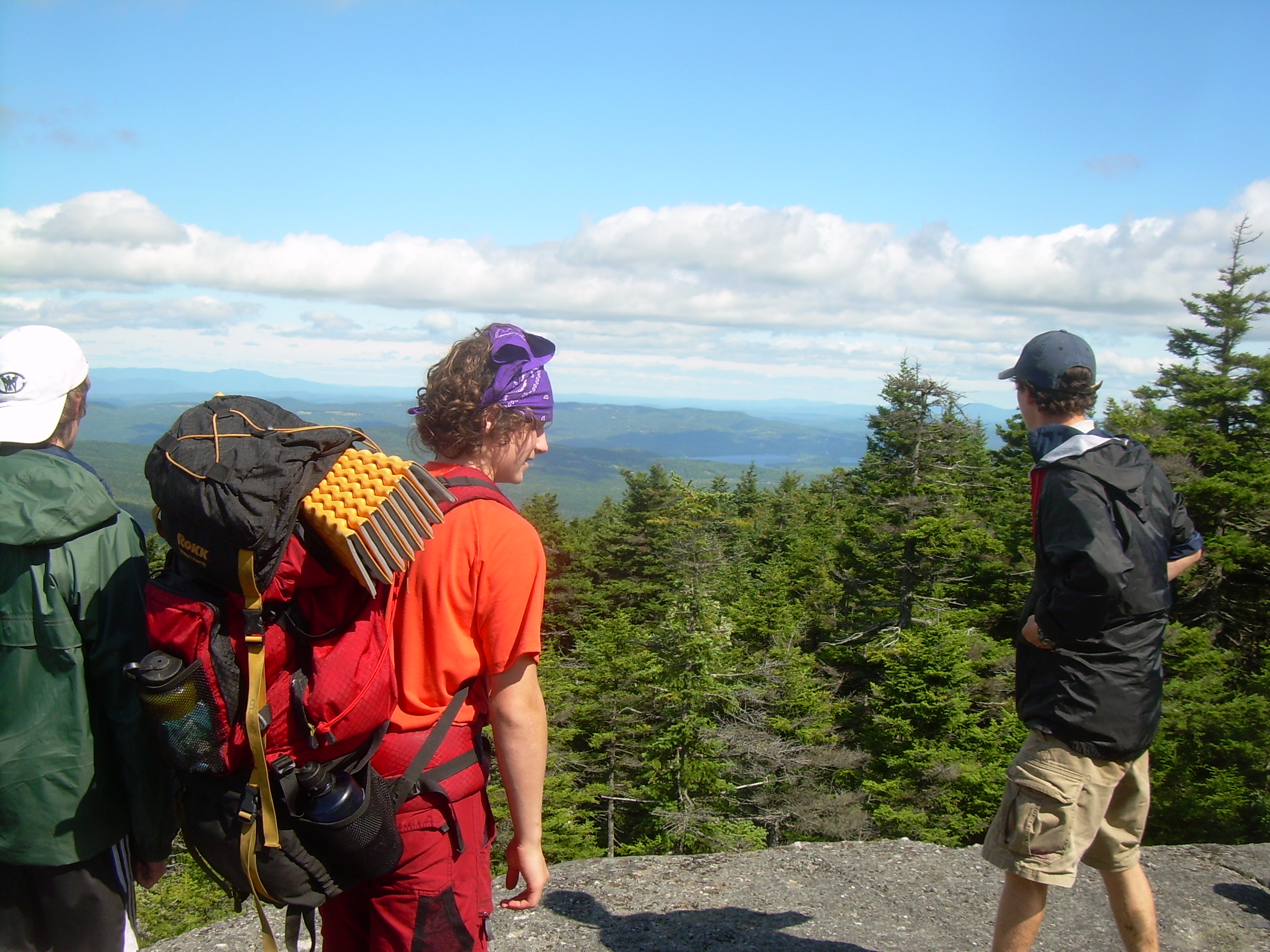
The last approuch to Cardigan |
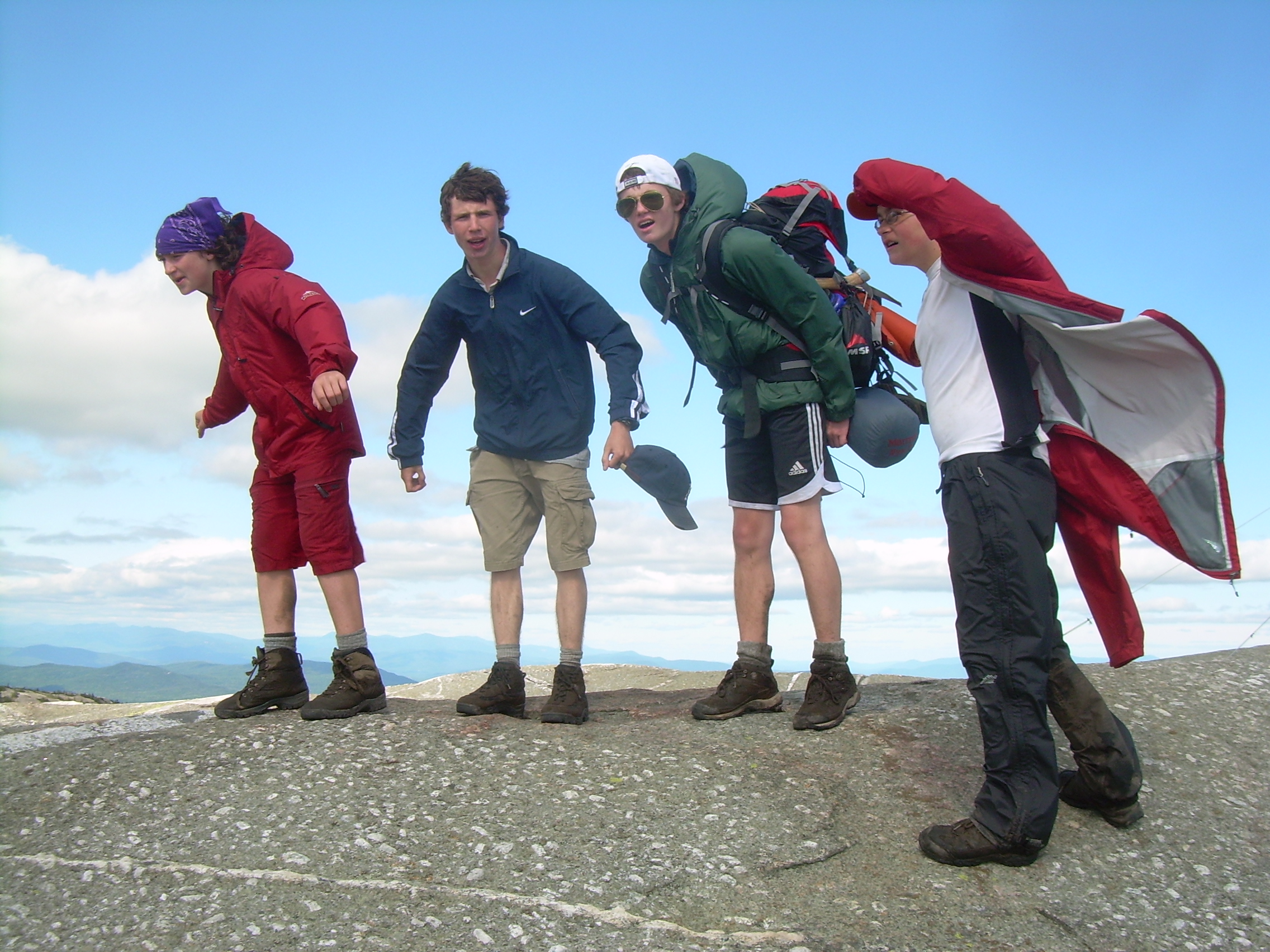
Leaning into the wind on the Summit |
| Headed down off the peak |
360-degrees - Cardigan Mountain |
||
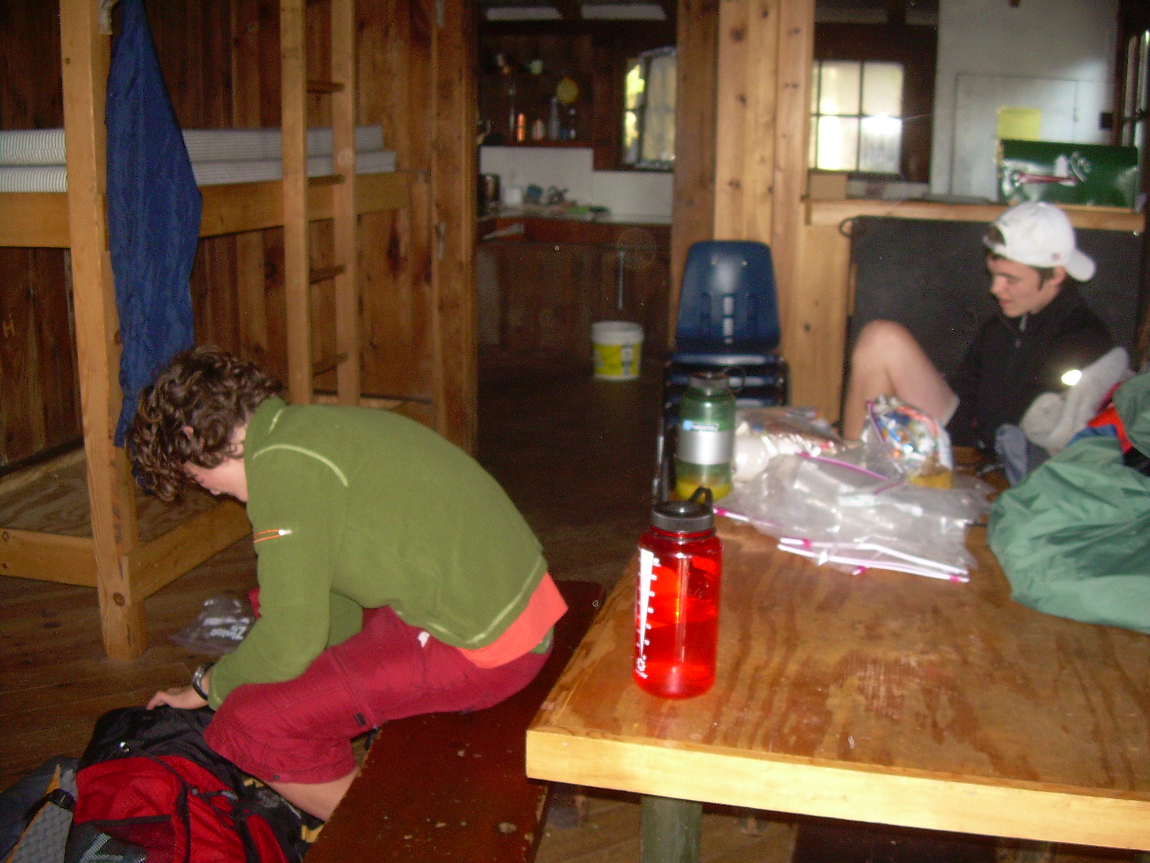
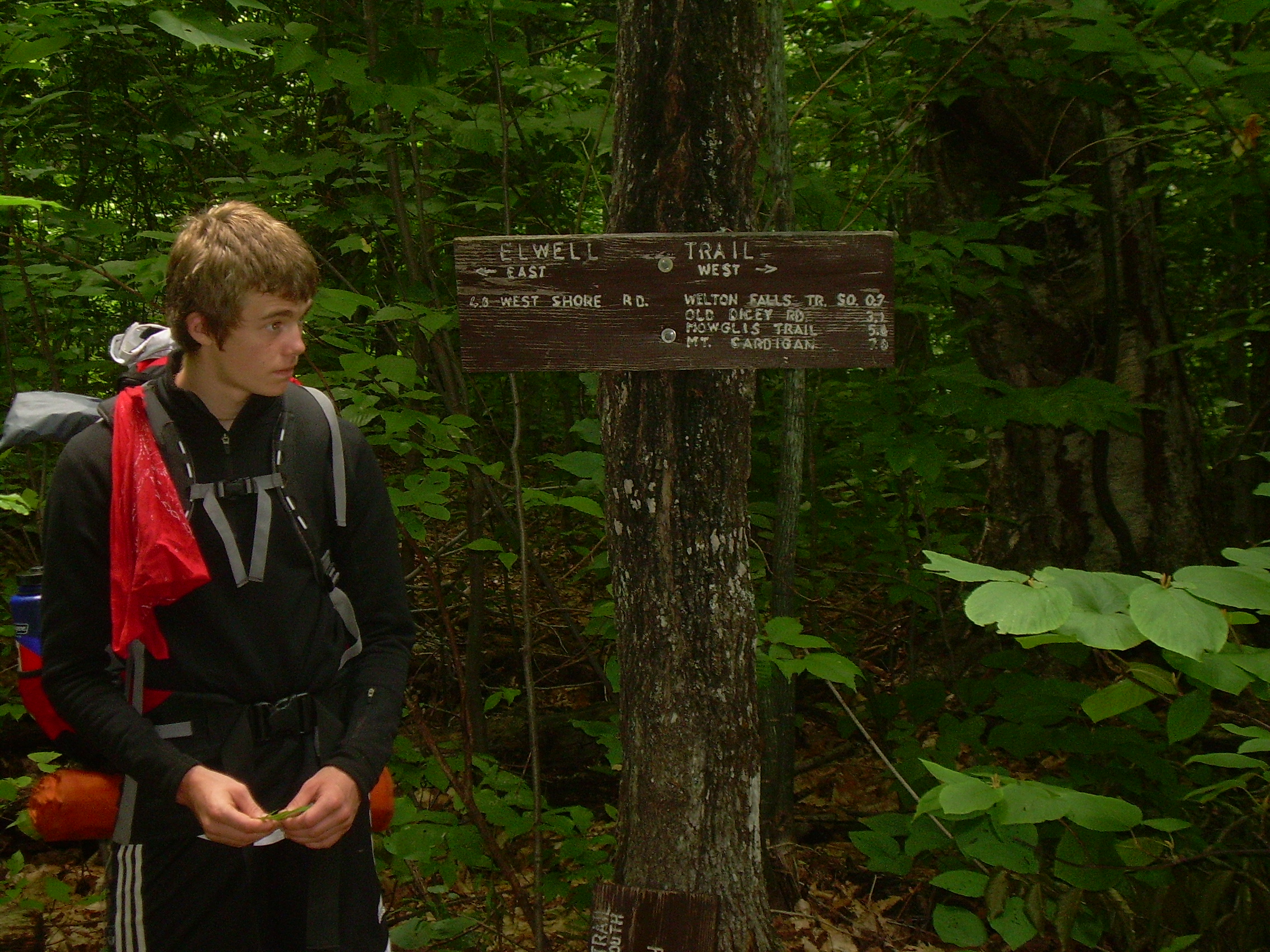
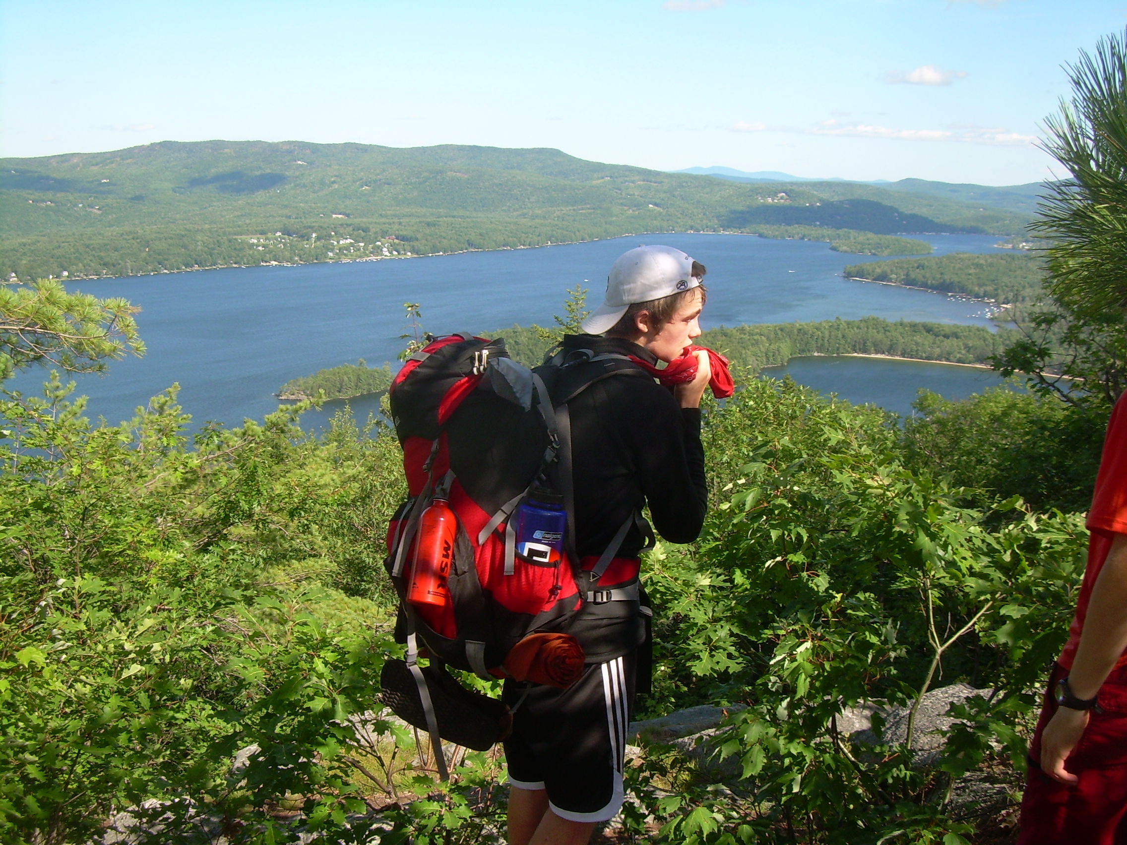
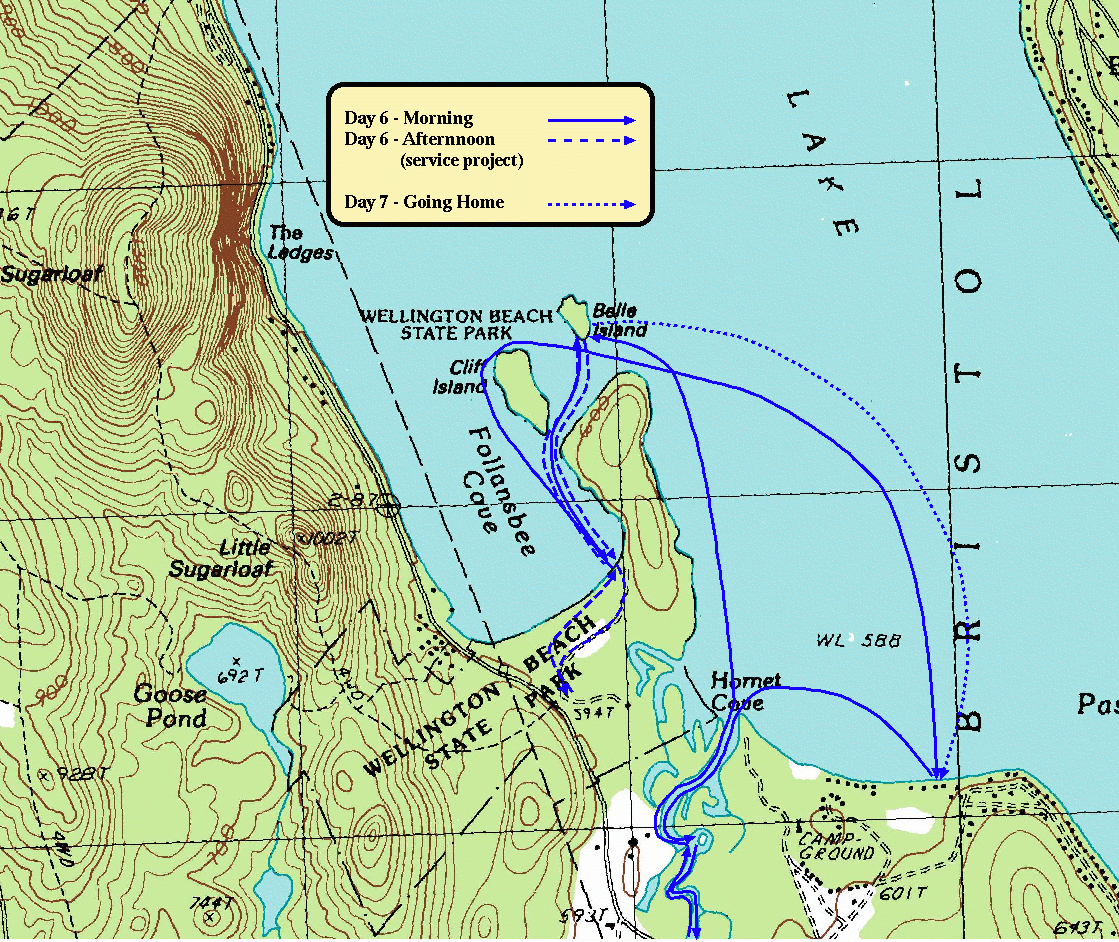
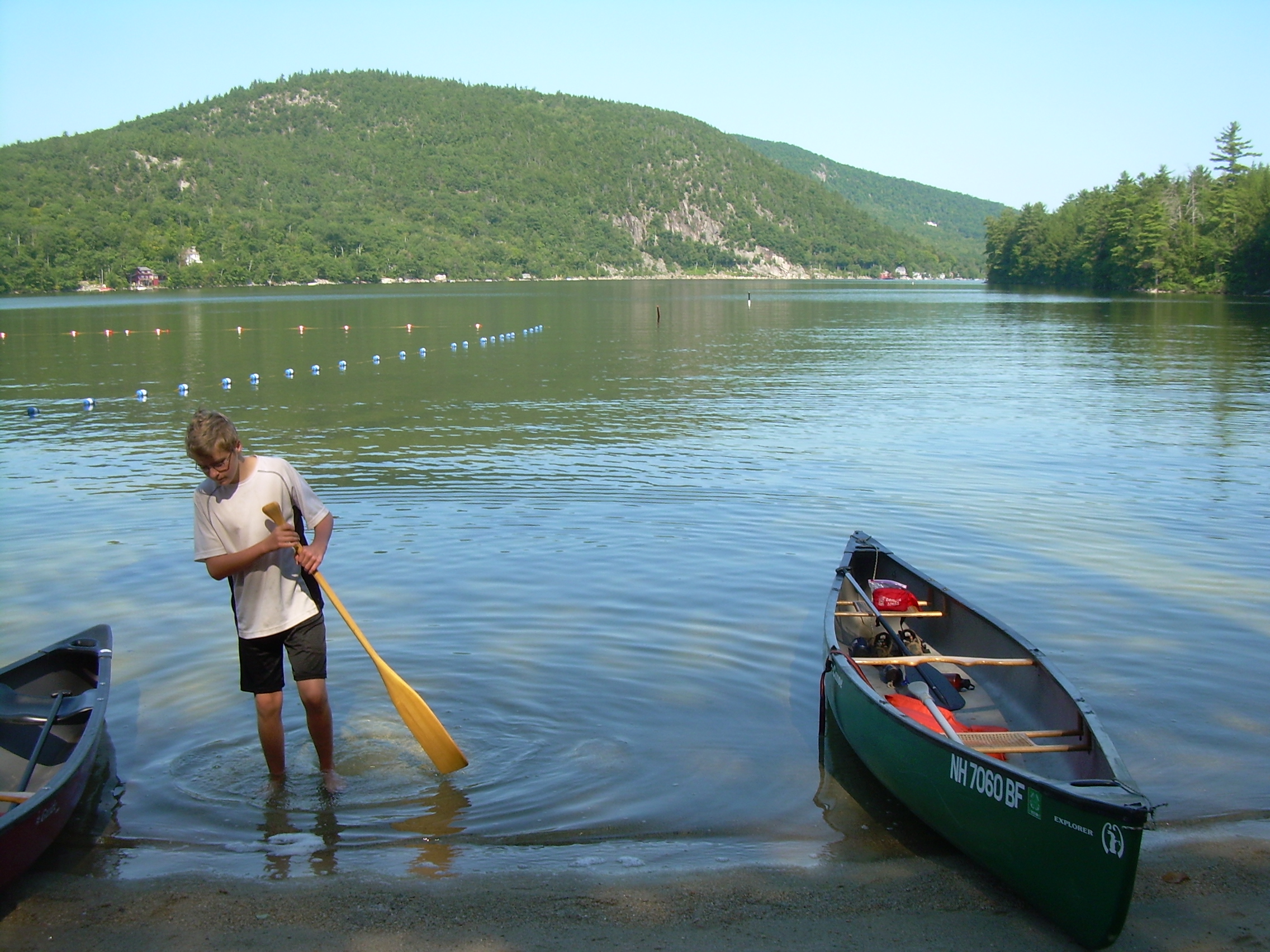
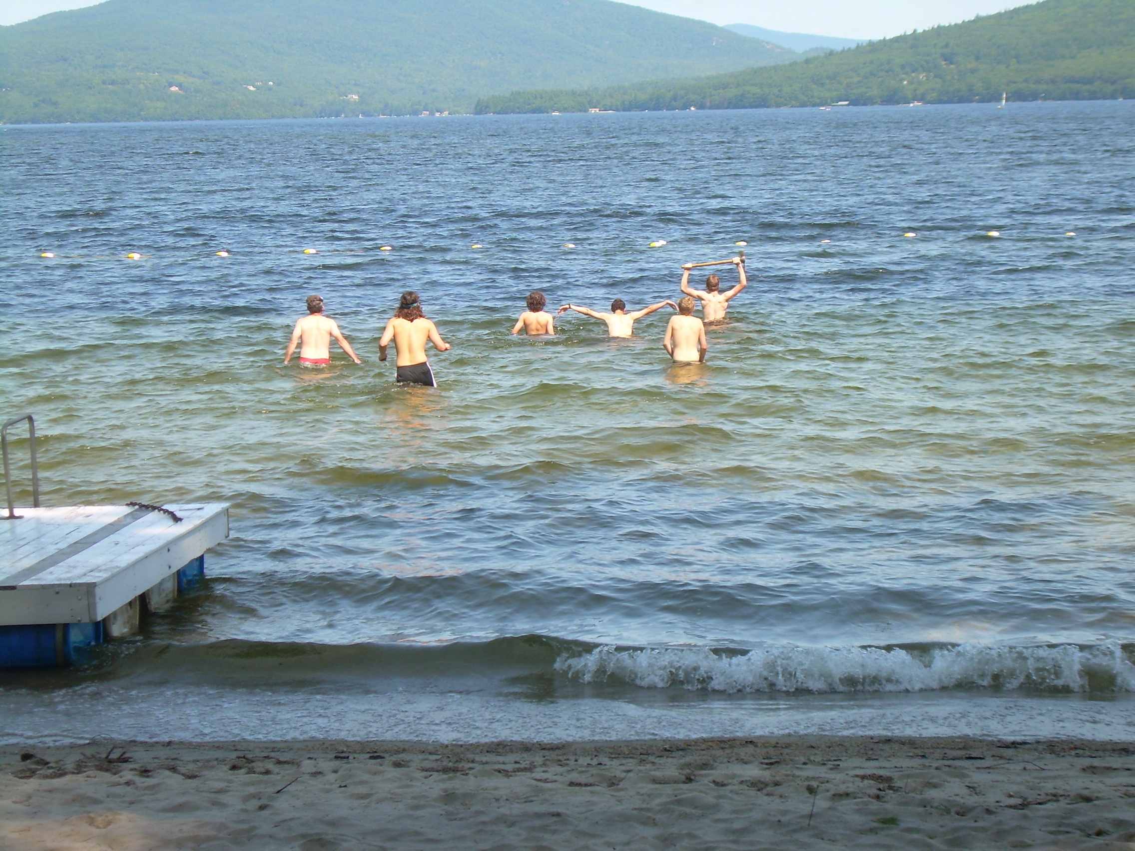
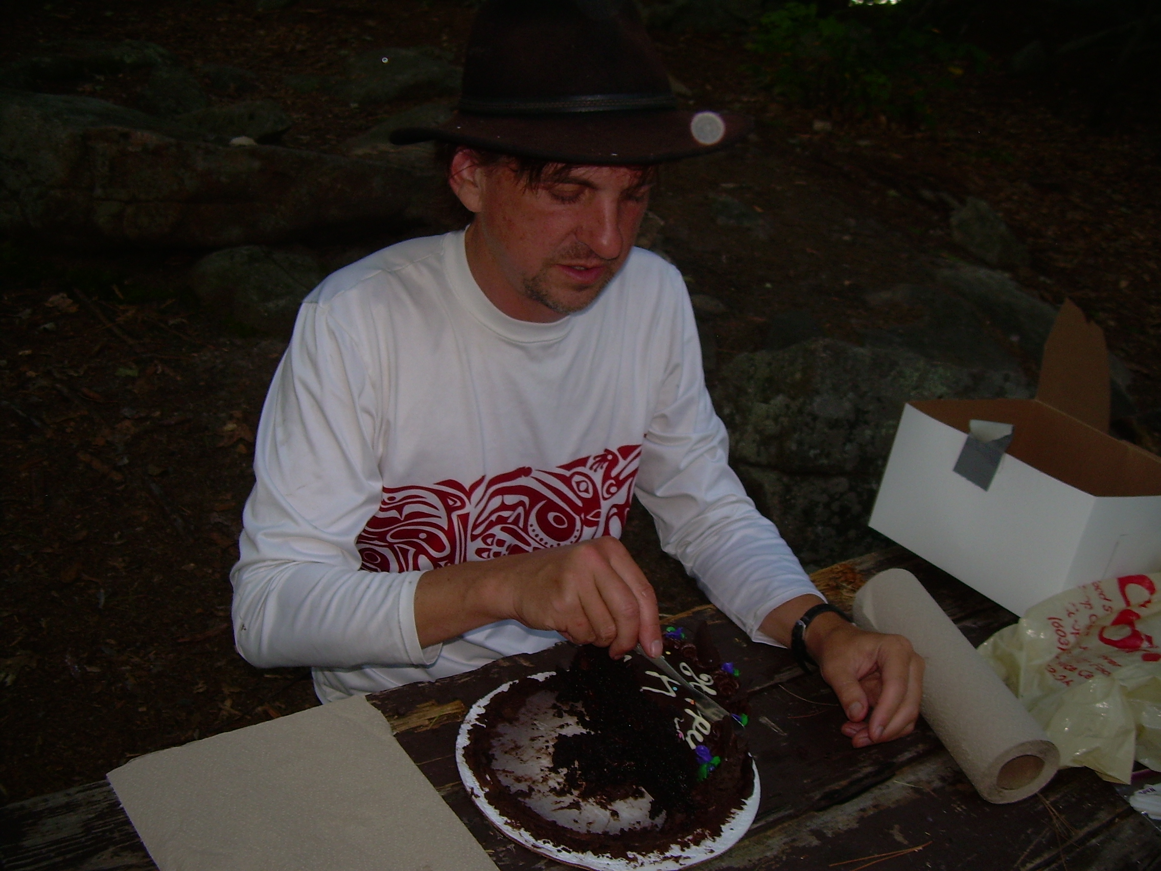
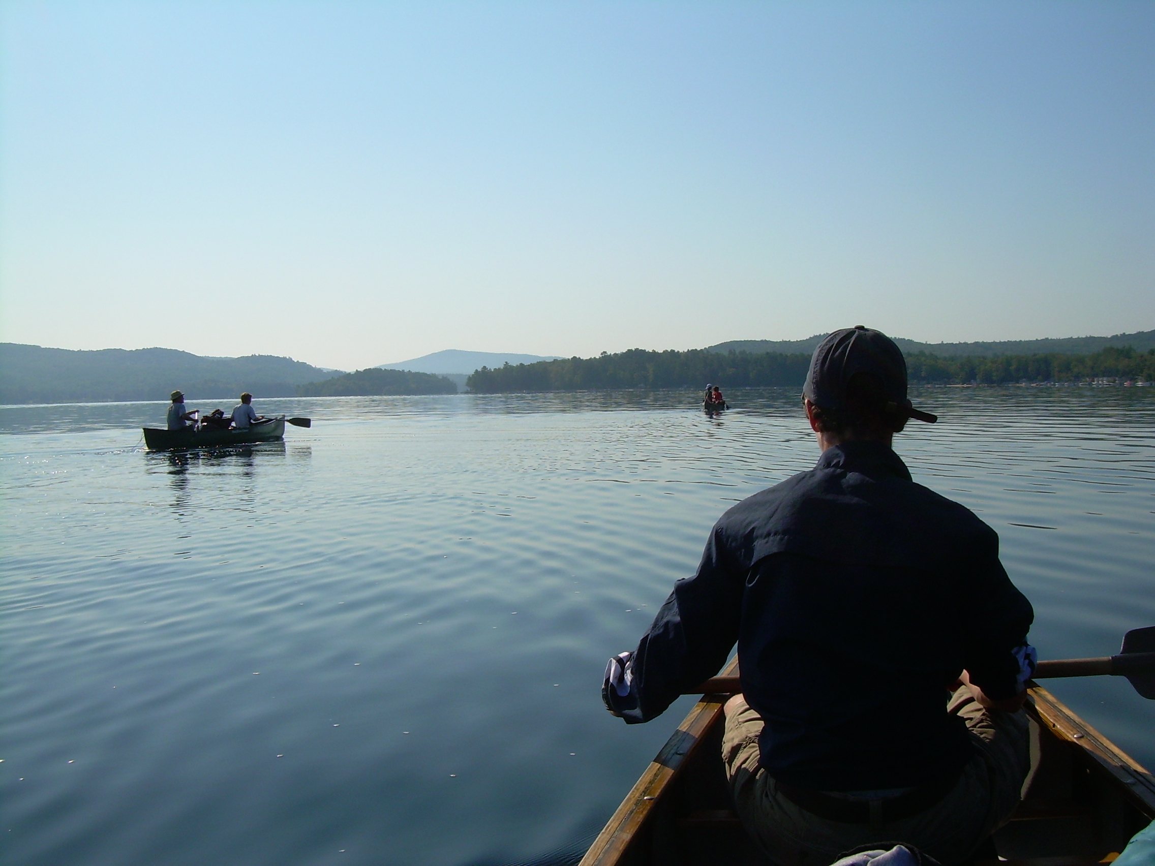
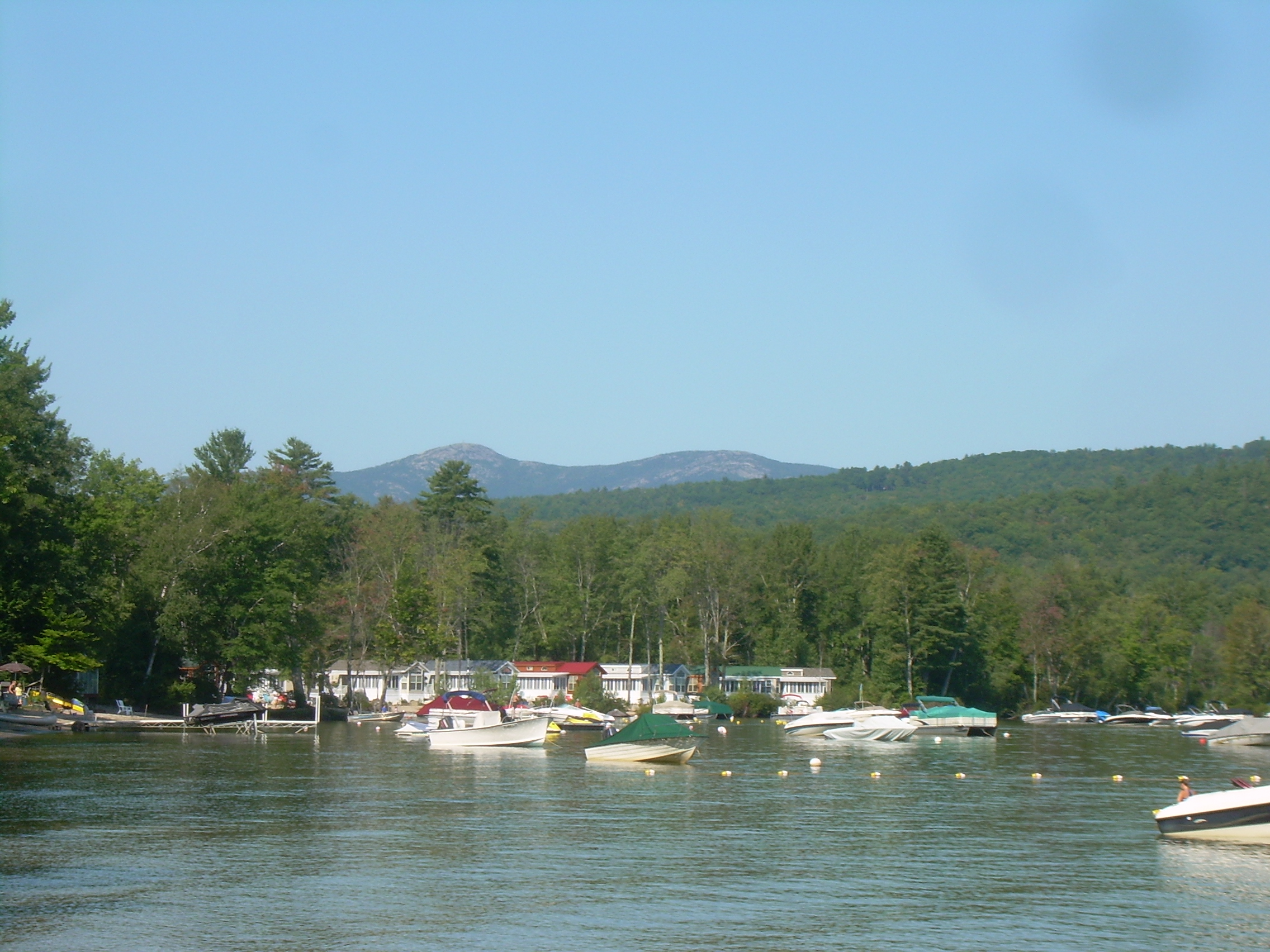
Since we are inside a cabin and out of the direct morning sunlight we sleep in until 6:30, and it is 8:30 before we finally finish sweeping out the cabin, lock the door and shoulder our packs. The first leg of todays hike is downhill, across Bailey Brook and to the AMC Cardigan Lodge. In this quick descent, from 2650 ft down to 1390 ft in two miles, we leave behind the pines of the upcountry and drop into a mixed hardwood/softwood forest. At the lodge the grass is mowed and people smell like they have seen and understand the use of soap. We don't stop for long here, dumping our bottles of their water, tinged with a hint of tea color, boiled but not filtered. We refill, rehydrate, leave our trash, re-shoulder and head east. In the great American tradition I always think of The Golden West as being where adventure and the wilderness lay, but on this trip we are anti-migrating, and heading east. Galen's original estimate for today's hike was six miles. But this was because this area is so familiar to him that he didn't actually measure it on the map. Also the trail arches to the north to follow a wooded and rocky ridge instead of making a bee-line to the lake. It will be almost twice the advertised distance. Just beyond the AMC lodge is Welton Falls State Forest. We cross Clark Brook and then follow these waters downstream. The trail and brook are in a deep and green ravine filled with old white pines and hemlocks. We stop at the falls for a few minutes then press on, leaving the stream and the state forest and soon find ourselves on Fowler Road. We are making good time as we stride past and old cemetery and a lama farm. The boys have charged ahead, lost in their jokes and laughter and have missed our trail. Colin and I find the trailhead and call the crew back, and after passing the pig pen we again plunge into the woods and start to climb. It is a gentle hill, our trail passes under maples, ash and oaks as we follow the yellow blazes through a maze of foot paths and jeep trails up to the ridge where the Elwell trail is. Finally, on top of the ridge we find the Elwell trail and stop at the trail junction for lunch. Pepperoni, crackers and left over peanut butter. To some people pepperoni may seem like a peculiar, but long before we had refrigeration to keep our meat, we had sausages. I am also an advocate of some cheese for the same reason. Our packs are light now, because we have our next food drop before supper. The Elwell trail is maintained by Camp Mowglis, a boys camp out of Hebron. Mowglis is of course the boys raised by wolfs in the story "Jungle Book". So the camp takes as their symbol a wolf and we find hundreds of wolf's stenciled to small white planks next to many of the blazes. But I thing the Mowglis trail crew has not been through here recently. Still, our crew are now seasoned hikers and we make a good and steady progress along the ridge. We cross under a power-line. Beyond here the trail is tangled as we cross some new logging roads. The blazes are lost in the slash next to the logging, but we circle until we pick up the trail again. Finally, after fighting our way through tangled brush, the trail seems almost abandoned in this section, and up a steep ascent, we find ourselves on top of Bear Mountain. This is our first view of Newfound like since we left the summit of Cardigan. We are at 1847 ft and Newfound Lake, a mile east of us, is at 588 ft. We have a lot of elevation to loose. Bear Mountain is a rocky tangled ridge where we slid down hills, then pick ourselves up and clamber up the next rocky spine. I reminds me of the back of a stegosauruses with its multiple plates on its spine. We loose the trail, and I think the crew would be depressed except we have seen Newfound Lake, that cool paradise and destination virtually at our feet. We find the trail and press on to the rocky outcropping. From here we take a compass bearing on Whittemore Point, across the lake (corrected by 16-degrees magnetic declination) and confirm our position. Down and down we descend to 1036 ft, then across a damp, flat, fern filled forest floor and back up to Sugarloaf. The trail really is steep here and I can look between my feet to see Jordan coming up quickly behind me. But the crew is in good spirits and unfazed by this ascent. From the top of Sugerloaf, Wellington Beach and Belle Island are insight and so we press on almost without pause. Little Sugerloaf flies by us as does the trail to Goose Pond, a different Goose Pond then we saw from Moose and Holt our first day, and finally we are at the eastern trailhead of the Elwell. From here it is only two or three hundred yards to the entrance of Welling Beach. As we walk up I can hear the man at the gate say into his radio, "The Troop has arrived." I guess we were expected. I register us for two night and we are told that the canoes and "somebody's mother" are waiting for us at the far end of the beach. "Somebody's mother" is my wife! This is a surprise to me. Today is my birthday and Kristina has brought a beautiful chocolate cake. We quickly fill water bottles, then carry canoes, firewood, packs, paddles, PFDs, our food drop down and a cake to the lake and launch ourselves. Mr. Robinson takes a canoe solo. Galen is with Seth, Conner and Jordan are next and Kristina, my wife and I bring up the end of our string of canoes. It is only a half mile out to the island. But there is a head wind and the lake is very choppy and so it takes a little while to get ourselves past Cliff Island and finally to Belle Island. This is our final camp site and we are planning on being here for two nights. It is a pleasant island with a little canoe landing at the south end, a fire ring and a few picnic tables near the middle of the island, and an open, exposed rocks and blue berries at the north end. On most of the island, between the granite outcropping, lays a deep bed of pine duff. It is 5:45 and the park closes at 6:30. So the crew sing me "Happy Birthday" and we have cake. Then I ferry Kristina back to shore. After setting up camp we get a good fire going. Tonight is the end of hike feast. Once our fire has died down to a nice bed of coals we cook hamburgers above the coals and steamed corn on the cob in a great pot. It is a feast with which we are well satisfied and left completely "gruntled". Conner and Galen have pitched their tent at the north end of the island, nestled among granite boulders and ledges. Seth and Jordan are camped on a sandy flat near the south end of the island, and Colin and I hold the middle ground. After supper we build the fire up again for awhile, but people are exhausted and most of us are in the sack by 9:00.
|
|
| Conner, climbing the Elwell Ridge |
Lunch on the Elwell Trail |
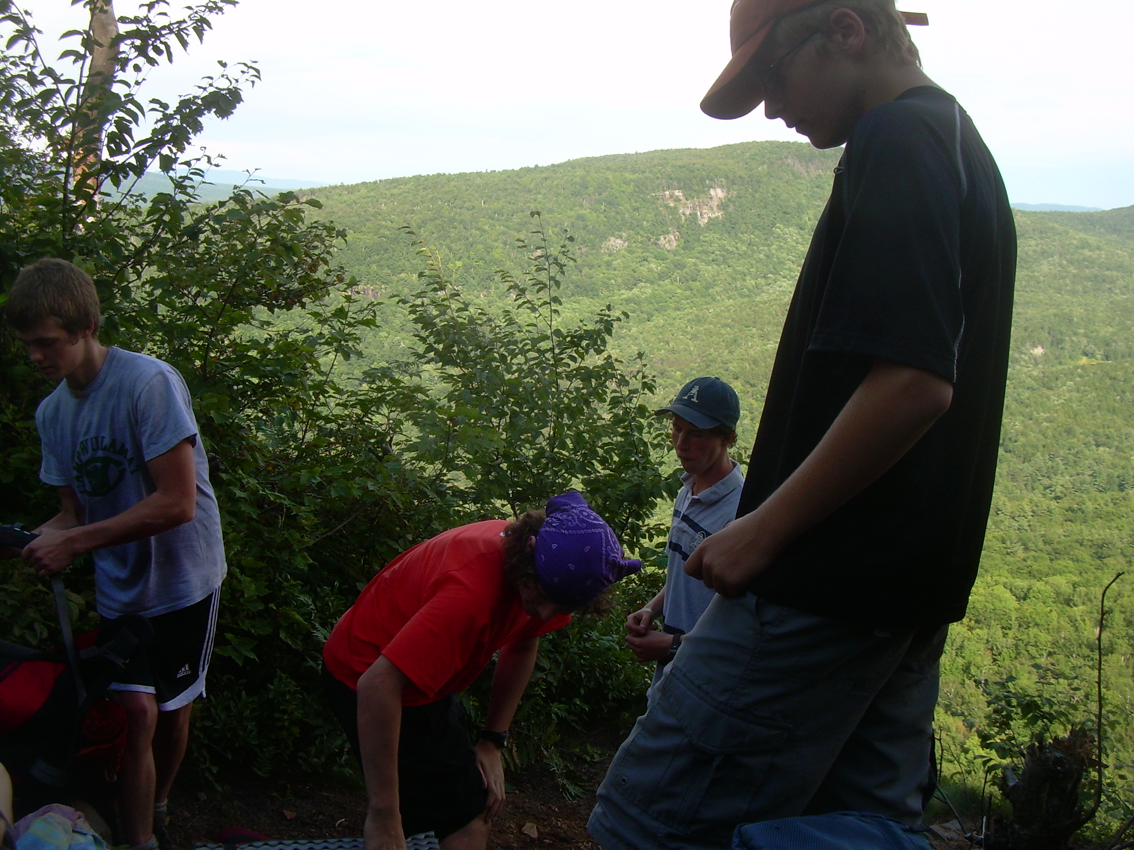
Galen at a Elwell Trail Junction |
Newfound Lake from Bear Mountain |
| Galen on Sugarloaf |
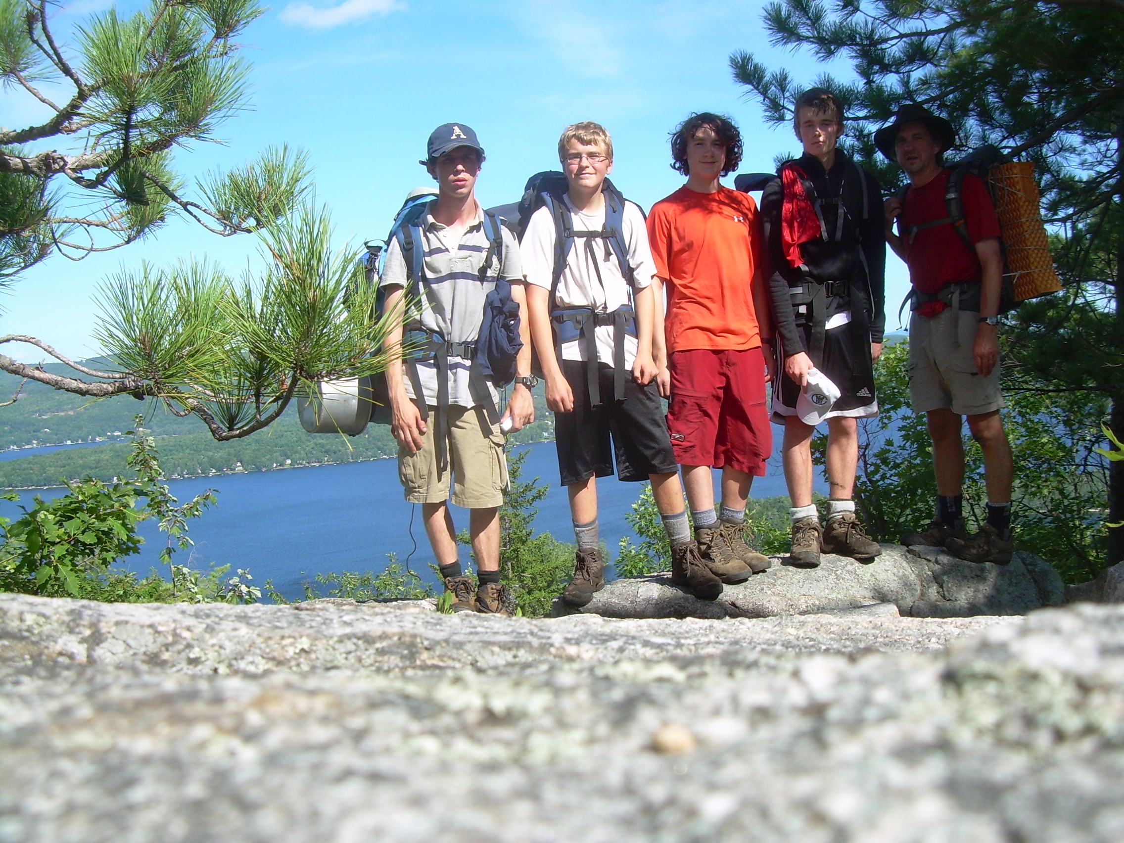
The Crew on Sugarloaf |
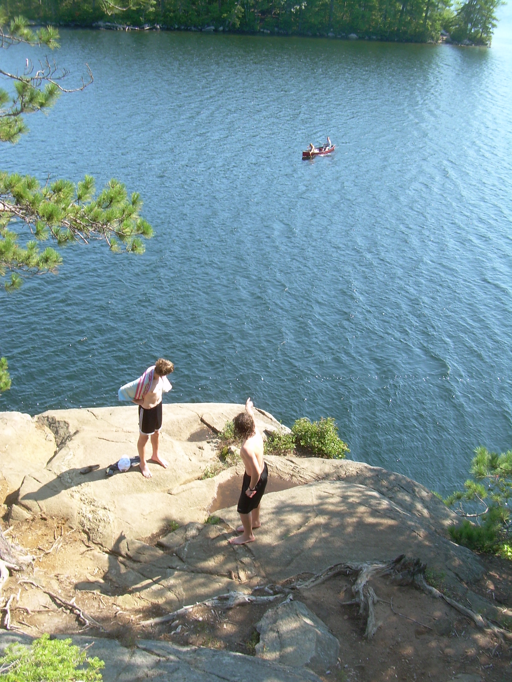
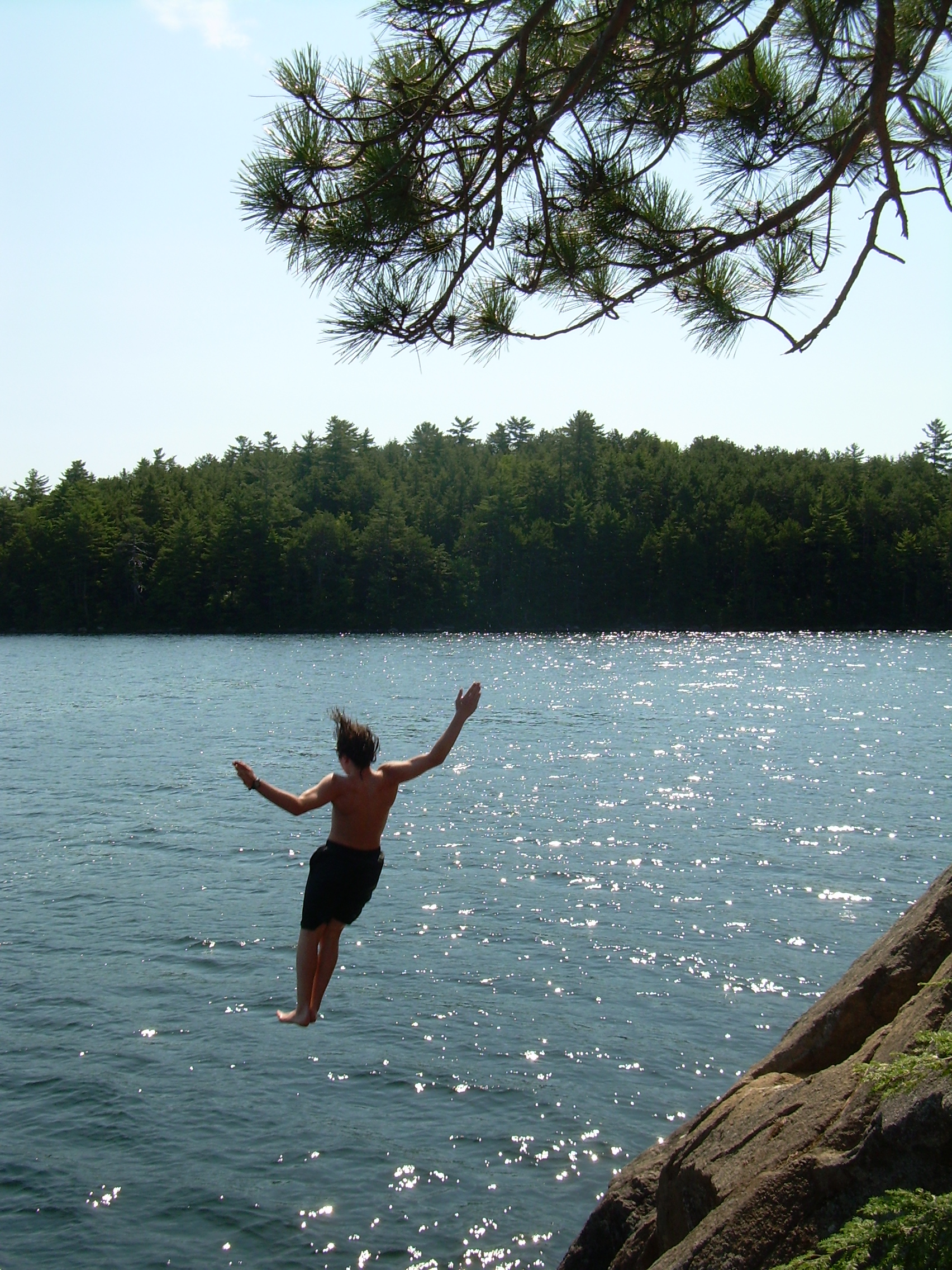
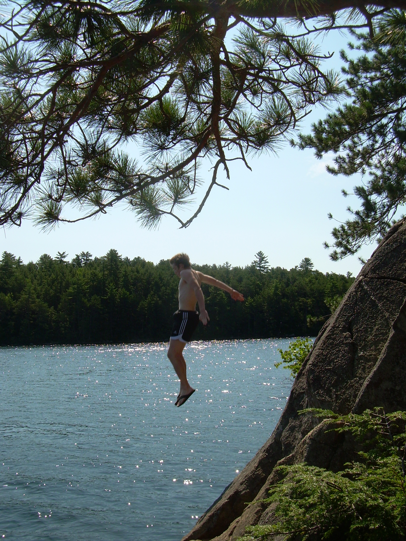
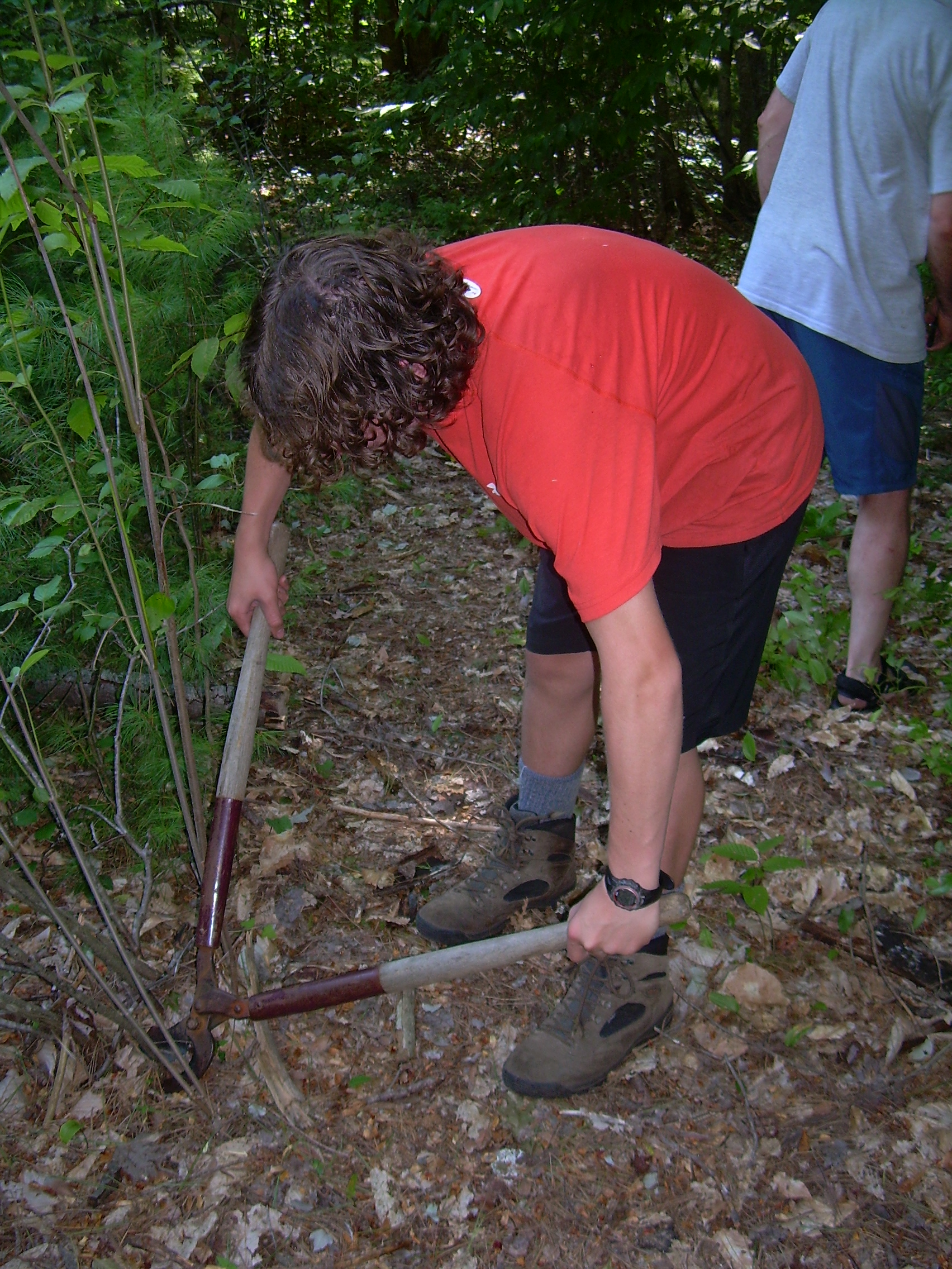
After breakfast and clean-up we embarked in the canoes for the mainland, landing at Wellington beach and refilling our water bottles. Then we circled Cliff Island and stopped to explore the cliff tops. These rocks are a favorite place on Newfound Lake for jumping. Galen and Conner lead the jumping and eventually all the scouts took a number of plunges. It is very deep water and a good time was enjoyed be everyone. We now turned our bows down to the south end of the lake and paddled about a mile to Camp Wulamate. Wulamate has been owned by the Robinson Family since the 1920's, and presently is operated by Galen's grandmother. The camp consist of 15-20 building, mainly cabins, but also dinning hall, central lodge, work shops and sundry support and out buildings. Originally it was a girl's camp which became a boy's camp. But during the Second World War when all the consoler's were serving it became a family camp, which is what it remains. The swimming platform had become un-moored, so the boys and Mr. Robinson dragged the platform out into the swimming area and reattached the chains. Then the whole crew swam for awhile. Back in the canoes we explored up the Folwer River for aways. I always enjoy paddling up a twisted waterway. Today my canoe partner is Jordan, Jordan of the hundred questions. Galen and Conner have paired up and so have Seth and Mr. Robinson. After we reach the Shoreline Road Bridge we turn and head out into the lake, and back to Belle Island for a lunch is grilled cheese sandwiches. When we finished hiking yesterday we had covered nearly forty-five miles, and so the crew elected to attempt to finish the requirements for the fifty-mile, a-foot/a-float award. That requires not only miles by "foot and/or afloat", but also hours of service time. We had talked to the park manager and he had a project for us. So we got in the canoes and headed back to the beach and there the park manager met us and asked us to clear a path back to the leech field, and then clear all the brush which had grown up on that field. He give us a number of saws, loppers and pruning shares and we pitched in with good will. Clearing brush is actually a lot of fun. At first it seemed like a trivial project, but as we cleared the field we realized that there was a lot more of the field then first meets the eye. Actually this project would not give us enough hours, but when the crew combines it with the trail work we all did on Matt's Eagle project, back in Hanover where we started this hike, we find we have met our time requirement. We are all pretty grubby after cutting brush, hauling branches, swatting bugs and sweating. So when the project is done we head back to our home island and again go swimming. Supper is soup and hot dogs cooked over a fire. We also finish my birthday cake. I have saved it overnight from mice and chipmunks by putting our big pot on top of it and weighting the pot down with firewood. It is dark by the time we finish eating and so after clean up we sit by the fire for awhile. The boys and then Mr. Robinson drift off to bed. I sit there for awhile longer staring up at the stars. The moon, which was so brilliant at Trapper John's six days ago wouldn't be up for awhile. By the time it crest the eastern horizon, I too am thinking of bed.
|
|
| Ready to re-moor the platform at Wulamate |
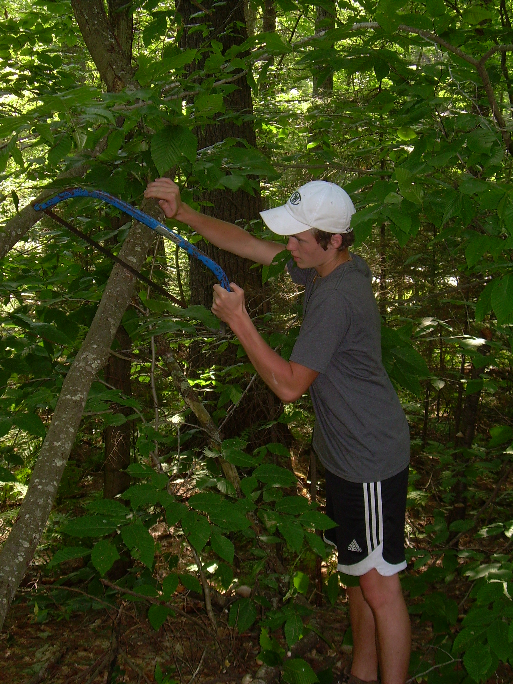
Jordan clears brush |
Conner with the loppers |
Galen and the saw |
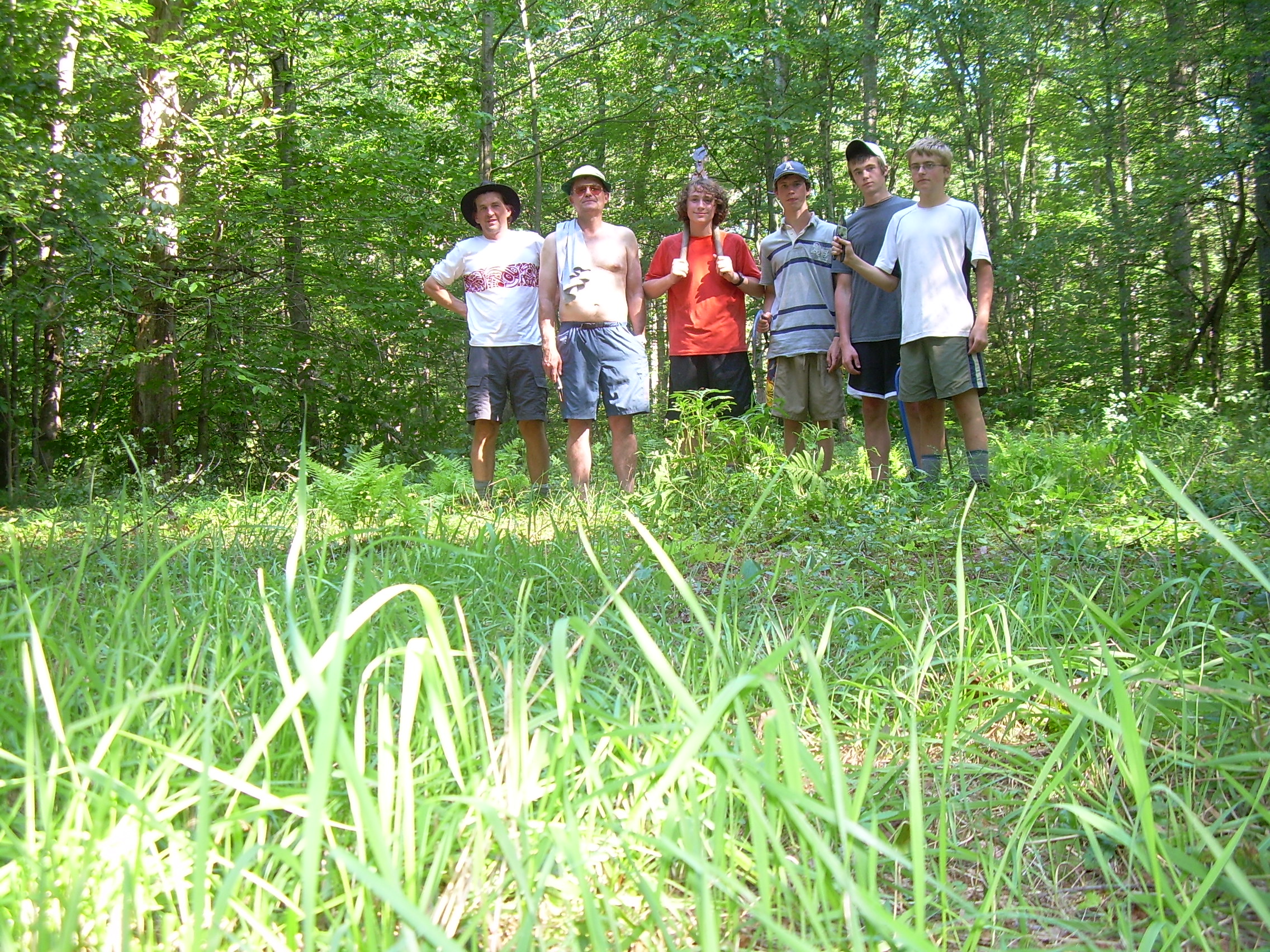
| The crew on the cleared leach field |
More Birthday Cake |
Breakfast is simple, oatmeal and hot chocolate. People clean up and break camp easily. I guess we have done it a few times by now. Also our packs are nearly empty of food so things get stuffed in haphazardly. By 9:00 we are loading the canoes. Shortly thereafter we are back on the water. We have four canoes for the six of us. This is because we originally expected to have David with us, and to be seven. So we pair up like yesterday, and then Jordan and I tow the empty canoe. We were originally going to paddle back to Wellington Beach, but since the canoes need to be returned to Wulamate we changed our pick-up point to that camp, and then do not need to arrange extra canoe transport. The lake is placid this morning, only disturbed by a flock of ducks. Just before reaching shore, if you look west, you can see Cardigan Mountain, its bare granite summit above the sea of trees. Once we land we stow the canoes, PDFs and paddles and then divided up any of the remaining food. Finally we sit down for a session of "Thorns and Roses". This is a chance for everyone in the crew to talk about one bad thing and one good thing on this trip. To me the bad things seem pretty trivial, and the good things out outstanding. Within minutes of finishing thorns and rose, Mrs. O'Leary arrives, we pack up and head to Hanover. And thus the fellowship of the Long Trek, the Prolonged Promenade was broken.
|
|
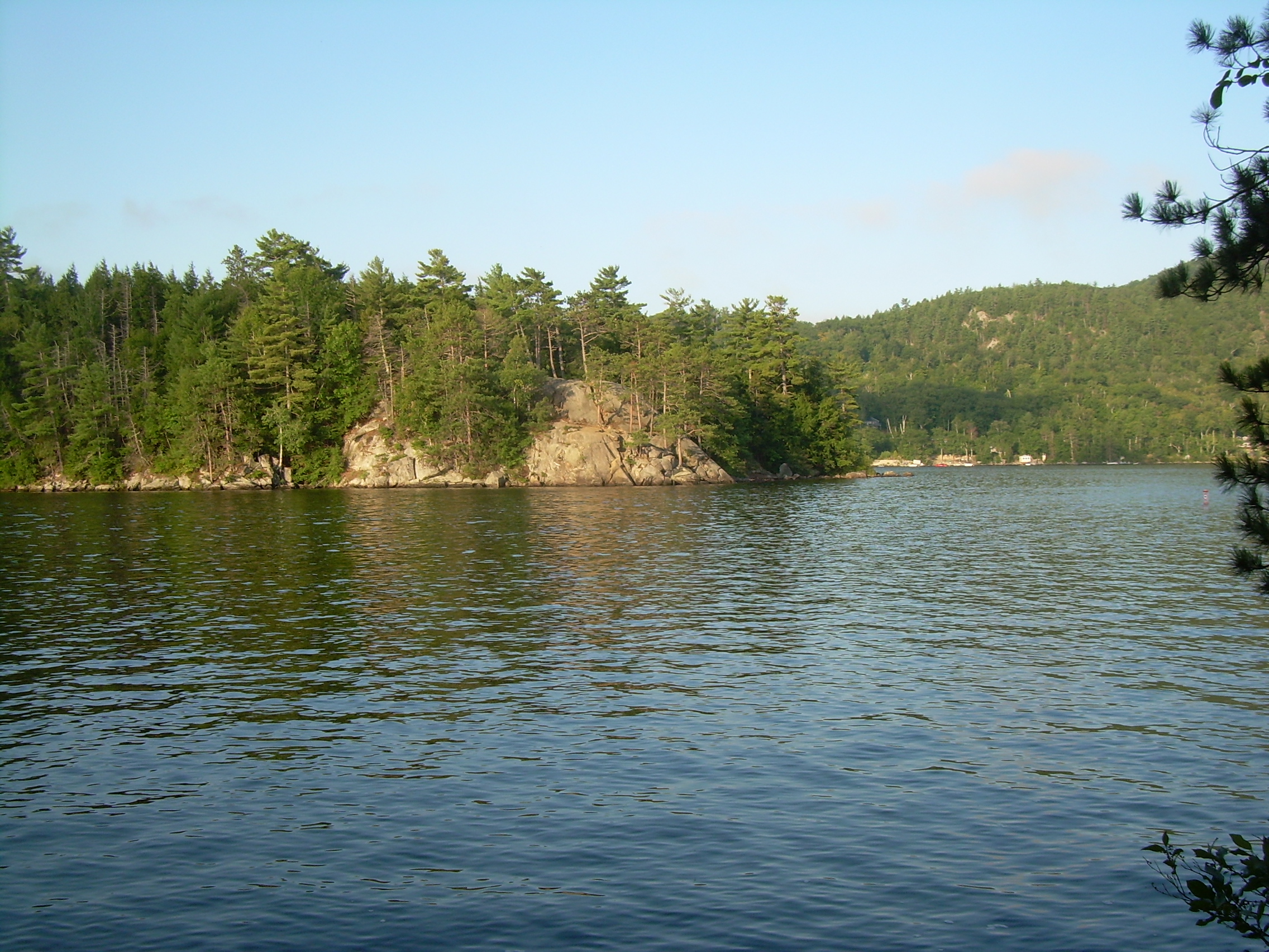
| Across Newfound Lake - Head to Wulamate |
Cardigan Mountain - from Newfound Lake |
180-degrees - Sunrise on Newfound Lake - from Belle Island |
|
|
Epilogue The scouts are quick to ask me how this trek compares to the previous ones. Conner was also on the treks of 2005 and 2006, the Long Trail, and he and I agree that it is not simple to compare the three treks. Long Trek 2005, Long Trail I, was probably physically harder. We hiked 42 miles, compared to the 50 this time. But a great deal of it was up and down as we traversed the spine of the Green Mountains. Long Trek 2006, Long Trail II undoubtedly had the worst weather. In the four days of hiking it only stopped raining for 12 hours. What made this trek work well as that even when we needed to speed down North Dorchester Road, no one complained, we just did it. It was a very easy crew to work with. We also hiked on a great variety of terrains. We were on the AT, logging roads, jeep trail and snowmobile trails. We hiked easily on dirt roads, yet had to push through the tangle old Elwell trail. And finally we glided across mirror-like waters. It was a great hike -- and I am looking forward to the next one.
Timothy Paul Smith
Hanover, NH
|
The Crew at Trail's End - Camp Wulamate - Conner, Jordan, Seth, Mr. Robinson, Galen, Mr. Smith |
|||||||||||||||||||||||||||||||||||||||||||||||||||||||||||||||||||||||||||||||||||||||||||||||||||||||||||||||||||||||||||||||||||||||||||||||||||
|
|