Smarts Mountain - North Side - Feb 22, 2009
So why this hike? Well I have hiked from Hanover north to
rout 25A, except this four mile section. That might explain
why this section - but why today? I guess just because I need
to get out. It is late February and the winter can be long
and crushing if you choose to just hunker down and try to wait
it out. However, a New Hampshire winter can also be thrilling and
exhilarating if you engage it, and you grab hold of it with
both hand and charge into the snow. So here I am, going up.
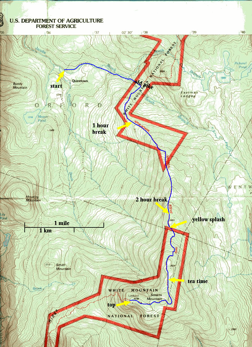
I start at Qunittown in Orford, the same place as last week,
and for the first two kilometers it is the same rout up
the snowmobile trail which is on top of the old pike, next
to Jacob's Brook. Last summer this section was mysterious, and
when Will did his solo hike we didn't know if it would connect
to the Appalachian Trail. Now it all seems so familiar.
When I got to the AT trail junction I strapped on my snowshoes.
I don't think anyone has been up this trail for a few weeks
for there are no tracks, and I didn't see any tracks in this
direction last week either. One hundred and fifty meters up the trail and I
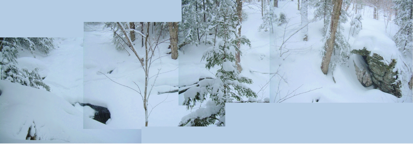
crossed Jacob's Brook on an ice bridge about 40 centimeters
thick, then up out of the brook's ravine and off through the
open hardwood forest.
I am breaking trail all the way. With each step I sink 15-20
centimeters - and this is with snowshoes on! When I look at
my tracks behind me I find it curious that I step up and over the
snow with every stride, instead of dragging my feet through the
powder. I cross a snowmobile trail and continue to rise, it is getting
a bit steeper now. That will be the last sign that anyone has been
here this winter until I reach the top.
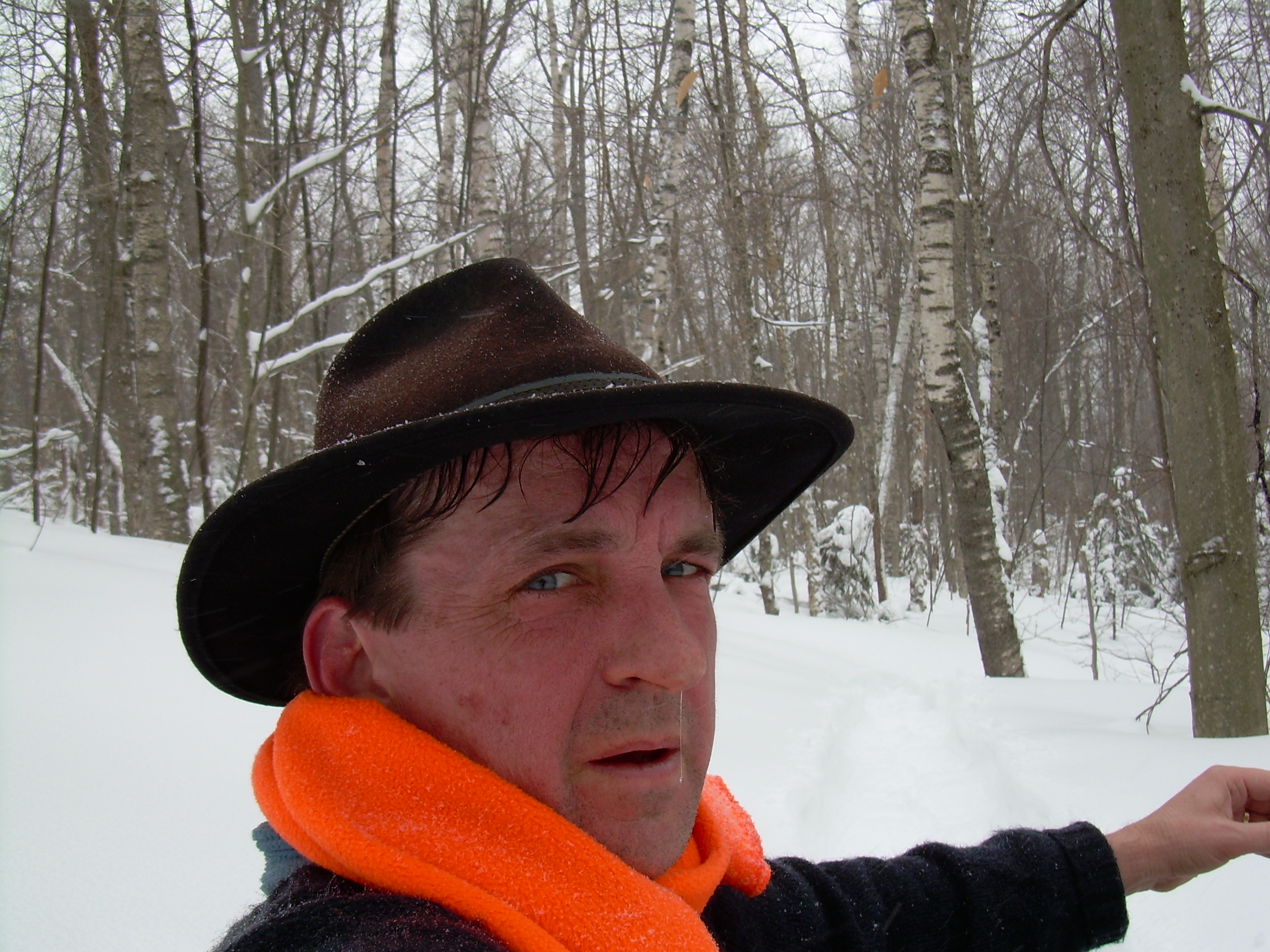
I am not wearing a coat, just a base layer and a sweater, even
thought it is about 18 deg F. I am gasping like a steam engine and
gushing sweat as I break trail and climb.
At the one hour point I stop for a rest. It is hard to estimate
how far I have come. I know that I walked the first 2 kilometers
in 25 minutes - but that was on the snowmobile trail. This is
much harder and much slower. I want to be off the mountain by
5:30 when it gets dark, and so I start performing estimates and
calculating in my head. If I can travel at 1 mile an hour ...
if I can walk a mile in 45 minutes. What about where am I? I
am traveling southeast, but the trail is slowly curving more
to the south, as on the map. But the curve is slow and it is
hard to place myself with certainty.
Now it is time to continue.
My steps are about two feet long. I know this because that is the
length of my snowshoes and I can look behind me.
Much of the time I am thinking about the Venture Scouts going up
Mt. Moosilauke next weekend. That climb has more elevation, but slightly
less horizontal distance then today. So how can we do it better then
I am doing today - how can we avoid racing against darkness like
I am now? Well, first, the scouts may be in better shape then me.
They are all athletes. However I am much more use to pushing myself.
We will also have the advantage of being able to share the
trail breaking task. But most important - we just need to start a
lot earlier.
When I look down the trail behind me I am reminded of a zipper, the
way my foot prints interlock.
At the two hour mark I again stop for a break. I stomped out an area
in the snow at the base of a hemlock and then sit with my back up
against the tree - looking back down the slope. I really do think I
am making good progress, but how do I know? There was a level spot
just back there a bit, and that might be the same as the level spot
which the map shows on the ridge. Or maybe it was just less-steep.
I have left the hardwood forest behind, but that transition is
not on my map. But the sun, like time and tide, waits for no hiker
and on up I go.
I almost missed it. On a tree on the edge of the trail, a hand's width
above the snow is a splash of yellow paint. This marks the boundary of
the AT corridor. Some of the land which the AT is on is still private,
but a great deal of it is public land administered by the national
forest, and here I have crossed into that corridor. And that boundary
is clearly marked upon my map. I know exactly where I am. I'm 3/4 of
the way up and I should be able to make the top and return in daylight.
It is a relief to know that with certainty. Otherwise I had set a
turnaround time, and it would be frustrating to get close to the top but
then have to turn back.
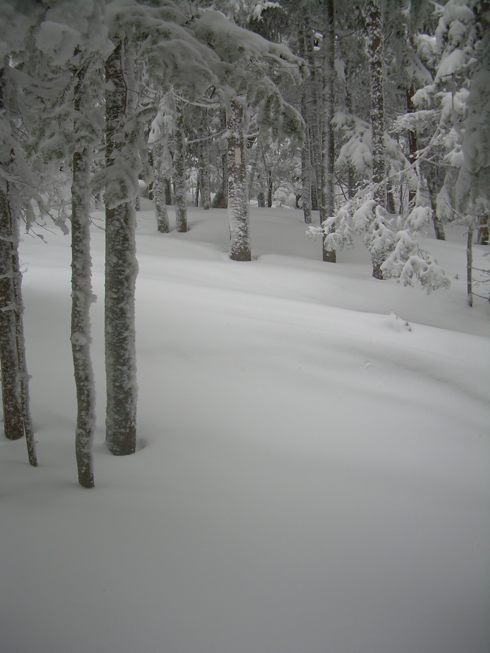
The trees are starting to be stunted as I continue - a sign that I am
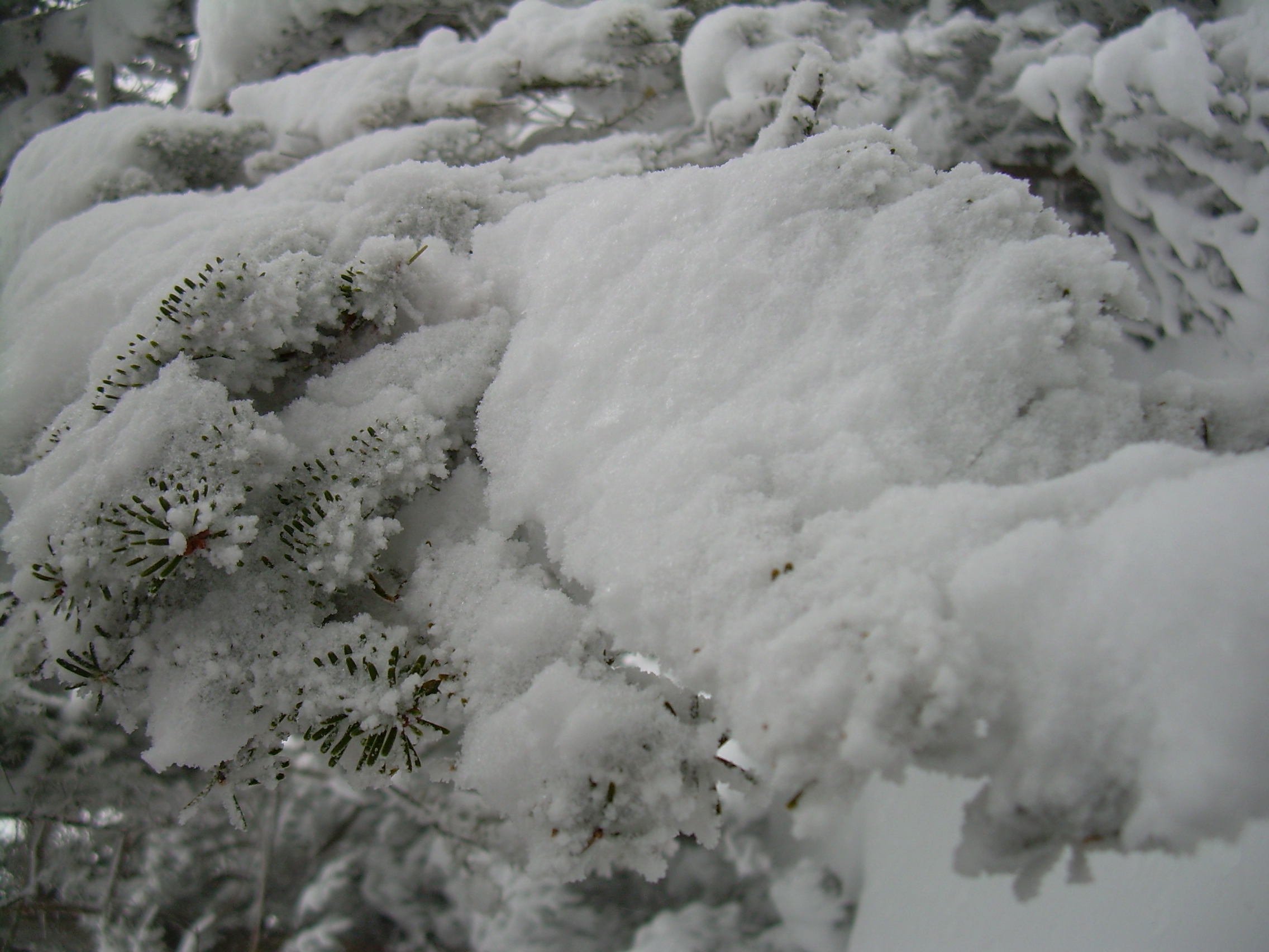
approaching a more exposed high ridge. The snow, which have been falling
since I started, is coming down harder now. My sweater is encrusted
with snow, but I am still very warm and so reluctant to put on my
coat. I sometimes worry about losing the trail, the trail blazes are
hard to see and when I do see one it is just above the snow. That means
I am walking on top of 4-5 feet of snow. But the forest is so thick and
tangled that generally there is only one clear way to go. Upwards - Excelsior!
The trail now turns to the west as I approach the summit.
Essentially I've finished the climbing and I pass a sign telling me that
I am within a quarter-mile of a shelter - which means the rules for camping
are different here. The Clark's Pond Trail branches off to the
left, and a short trail to the shelter to the right. I am over the
top and finding myself on the descent!
Someone else was up here today on back country skies. I couldn't have
been more then an hour or two ago, since the snow is quickly filling
in their tracks.
I was looking for the fire tower, but then remembered that it is on a
short side trail. But it is snowing so hard that I can only see about
thirty meters so climbing the tower would be pointless and looking
for it difficult. Also I am very tired. So I have reached the top and
that is enough and I turn back.
I had originally planned on coming down a different tail, going west
off the ridge. But breaking trail really is very hard, and the trail
I came up is now broken, so I turn and retrace my steps. About half
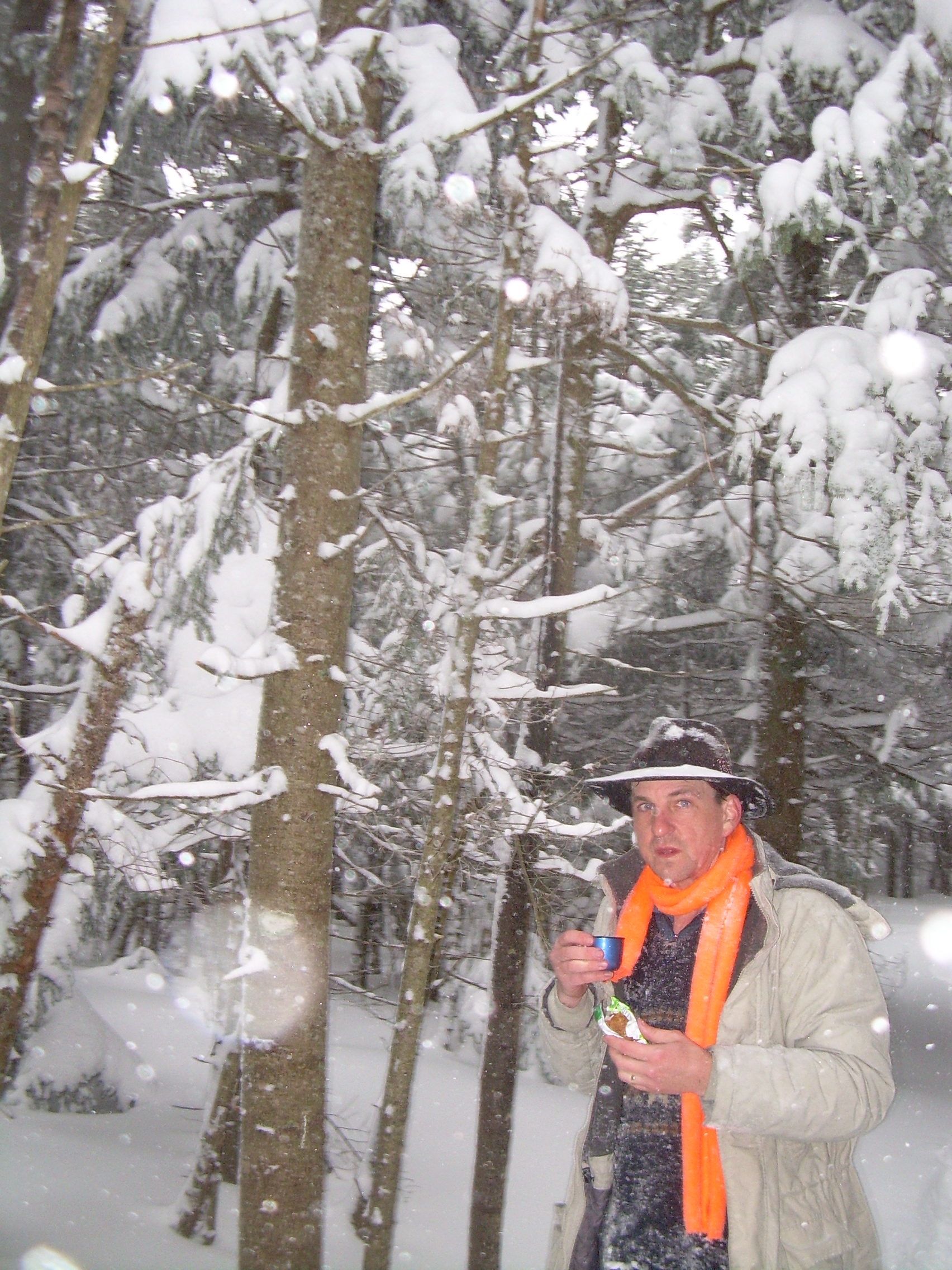
and hour after leaving the top I stop in a nest of hemlock trees,
sheltered from the wind, and have a long tea break. Since the
summit I have been wearing my coat, for I am not working nearly
as hard as when I was climbing.
Occasionally, for short sections near the top, my tracks have been filled
in by drifting snow, but in generally my trail is clear and easy. I always
make my plans to come down a mountain in the same time as I went up, but
coming down is faster and gives me a margin. Also I want to be off trail by
dark, but the trail is easy to follow and I am carrying my head lamp,
just in case.
Despite the cold, the blowing snow, the approaching end of the day I feel
confident and comfortable.
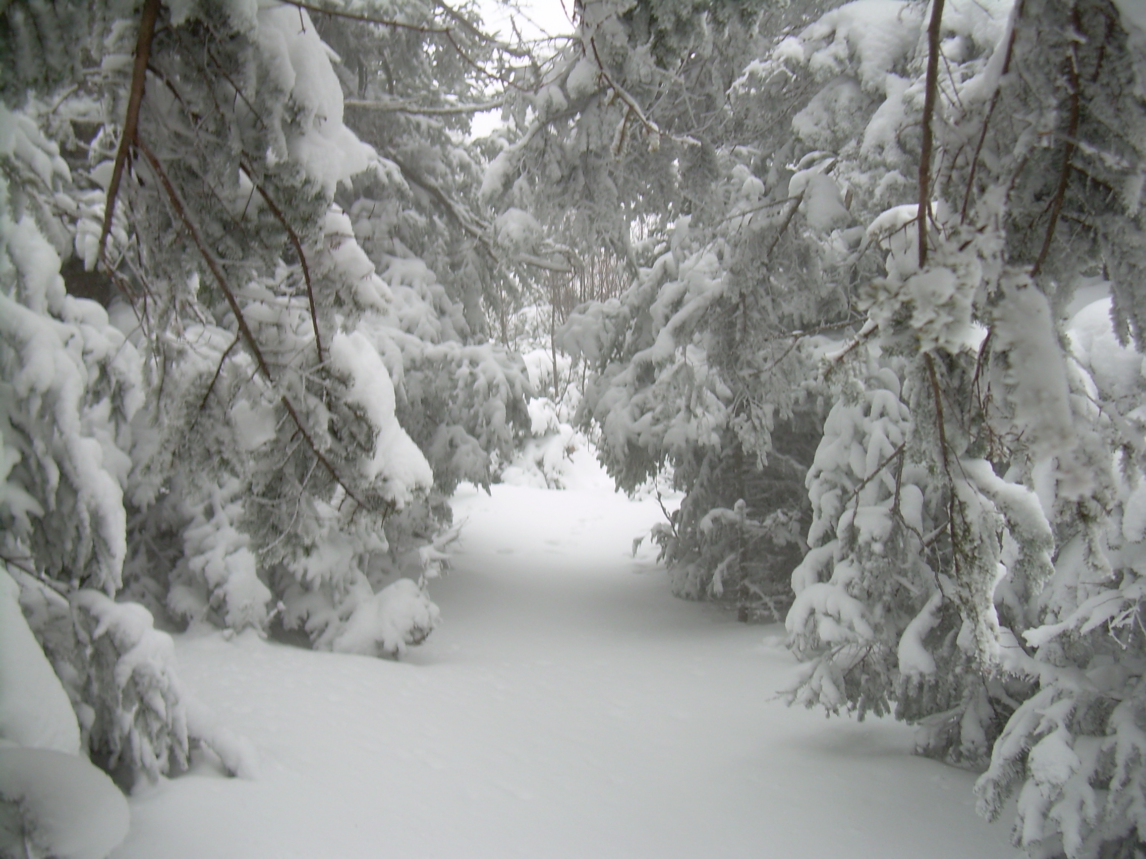
Coming down is fast and easy - in fact maybe even easier then in the summer,
for I am striding along a meter above the ground on the snow, a meter
above all the rock and roots that in the summer you might trip on or
pick your way slowly over. The snow feels like silk beneath my
snowshoes.
I am moving fast, yet I am much cooler then during my climb. I pass the
yellow paint splash and the two hour rest spot. On without want or
need of a break, past the one hour rest spot, across the snowmobile trail
and to Jacob's Brook. Once again I negotiate the ice bridge and a few
minutes later I'm on the old turn-pike. It is just 5:00 now.
Coming down this last snowmobile trail to where I have left the car
is like strolling on an old and familiar sidewalk.
It is snowing hard when I easy the car out onto the road, and then
take the highway down into Orford. The only apprehension I have
had all day is when I am faced with icy-snowy roads and traffic. But
there are not many people out on this snowy Sunday evening. There are
not many people in Orford who could be out.
And now it is time to go home - home where the light are on! Well,
until we lost power later on that evening.
My tracks returning across Jacob's Brook.
|