Ari, Robin, Fritz, Nick
Jay Buckey, John Wallace, Tim Smith
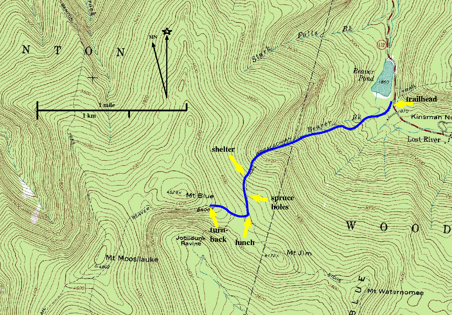
The plan is to hike up Mt. Moosilauke on the Beaver Brook Trail. We
talked about coming down on a compass course, bushwhacking down
next to Stark Falls Brook. But also we have been warned away from that
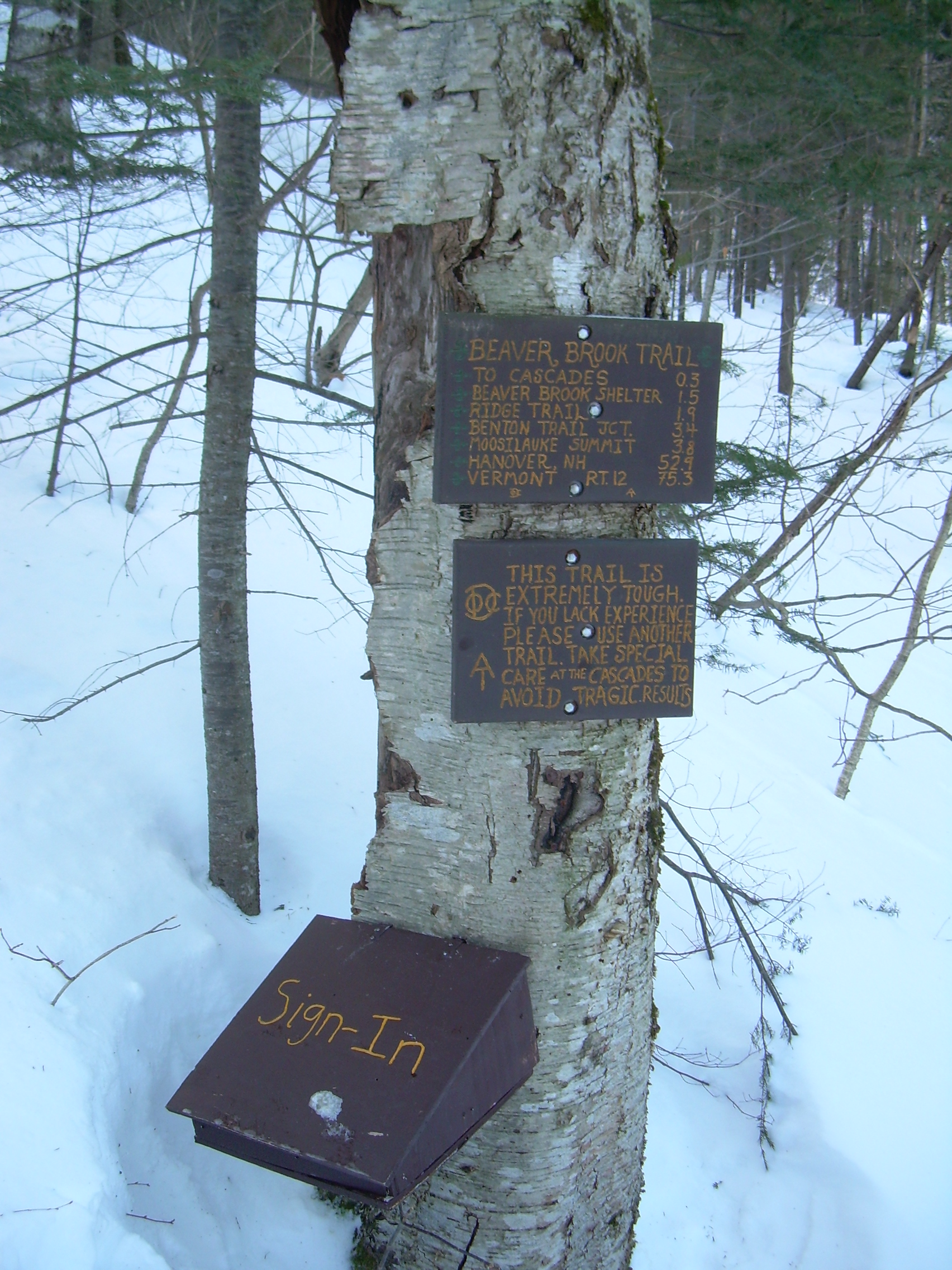
challenge. The Beaver Brook trail might be enough of a challenge in itself.
It is reputed to be one of the most difficult section of the Appalachian Trail (AT)
in New Hampshire. It is so steep that in placed iron rails have been set
into the rocks. In any case, we have been told that especially near the
stream we should expect to encounter a great deal of ice and so we came
equipped with both snowshoes and crampons.
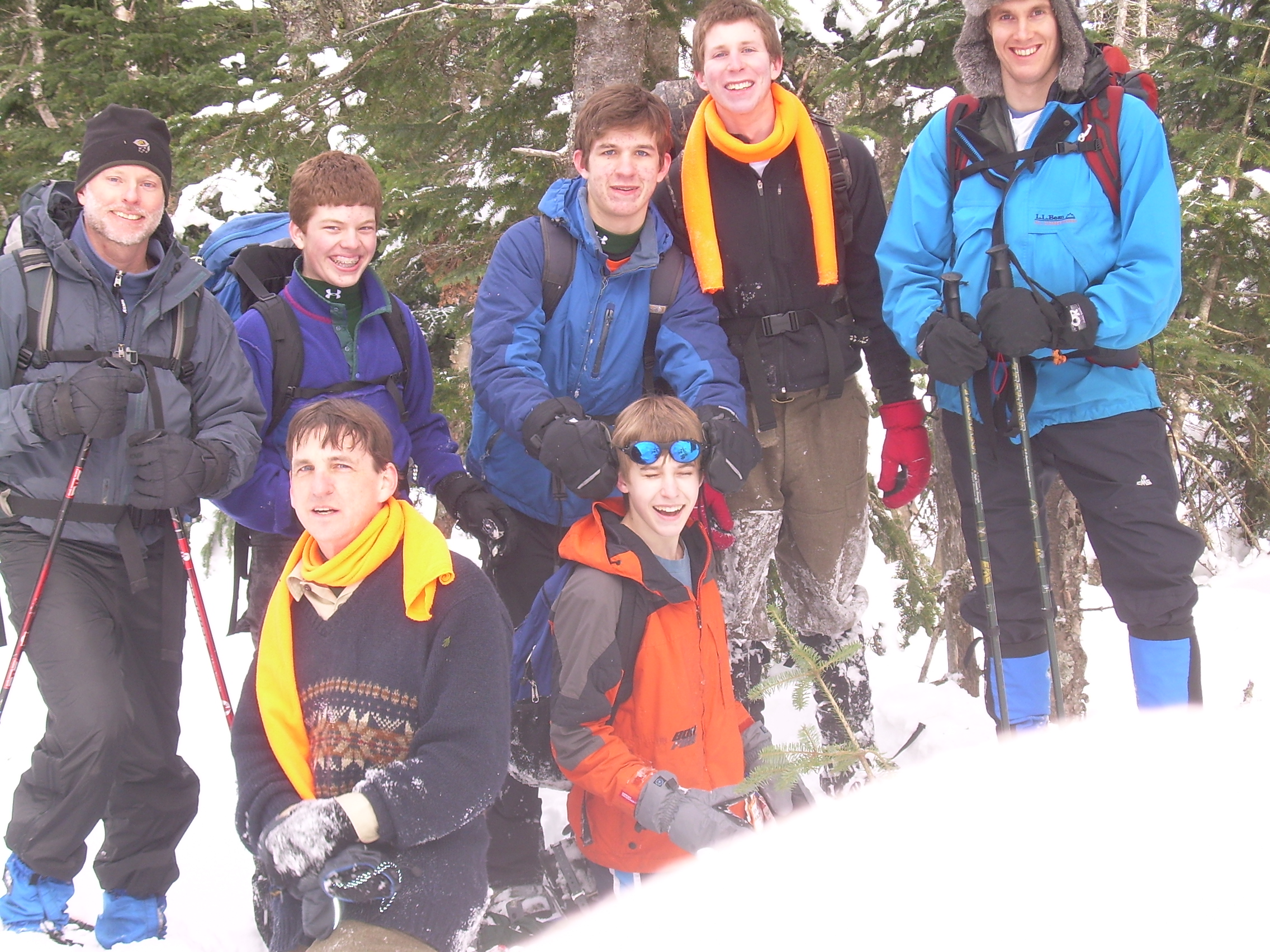
It will be a long day, and so the Venture Patrol rendezvoused at the community
center at 8:00 and we were on the road heading north by 8:05 - a prodigiously
early start for us. It is a long drive up through Lyme, Orford, Piermont, Haverhill
and North Haverhill, then east out of the Connecticut River valley and into the
mountains. Moosilauke lies there, a gentle giant, waiting for us. As you approach
The White Mountains from the west or southwest, Moosilauke is the first 4,000
footer which you come upon. Fans of Moosilauke, or especially Moosilauke Ravine
Lodge proclaim it as the "Western Gateway to the White Mountains". Although as we
gaze up its flanks from a distance it seems like more of a barrier then a gateway.
The Beaver Brook trails raises up 3,100 feet, or 1000 meters (1 kilometer!) from
the Kinsmen Gap to the summit. This long climb and challenging grade is what
has drawn the Venture Patrol here. They are trying to prepare themselves for
a climb up the Franconian Ridge.
We arrive at Kinsman Notch at 9:30. There is a group of three women who are just
shouldering up as we arrive, they too are headed to the summit. It takes us
about half an hour to repack our packs, adjust snowshoes, debate crampons and
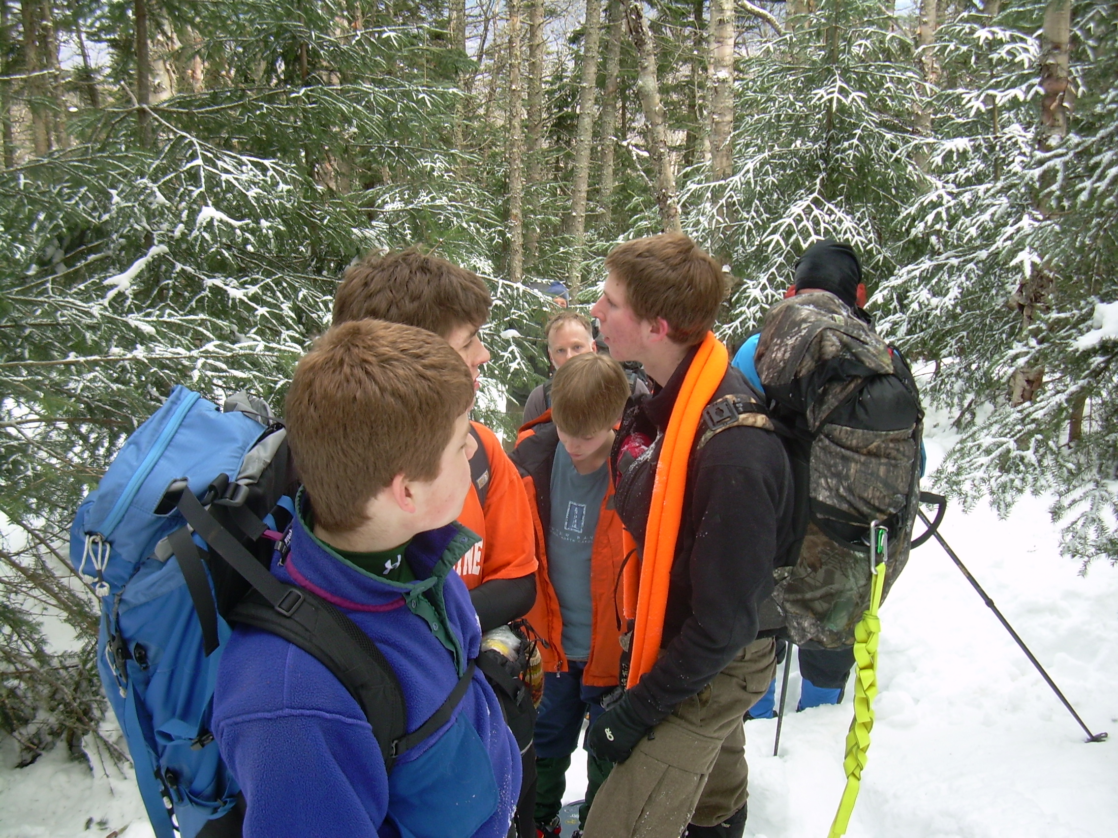
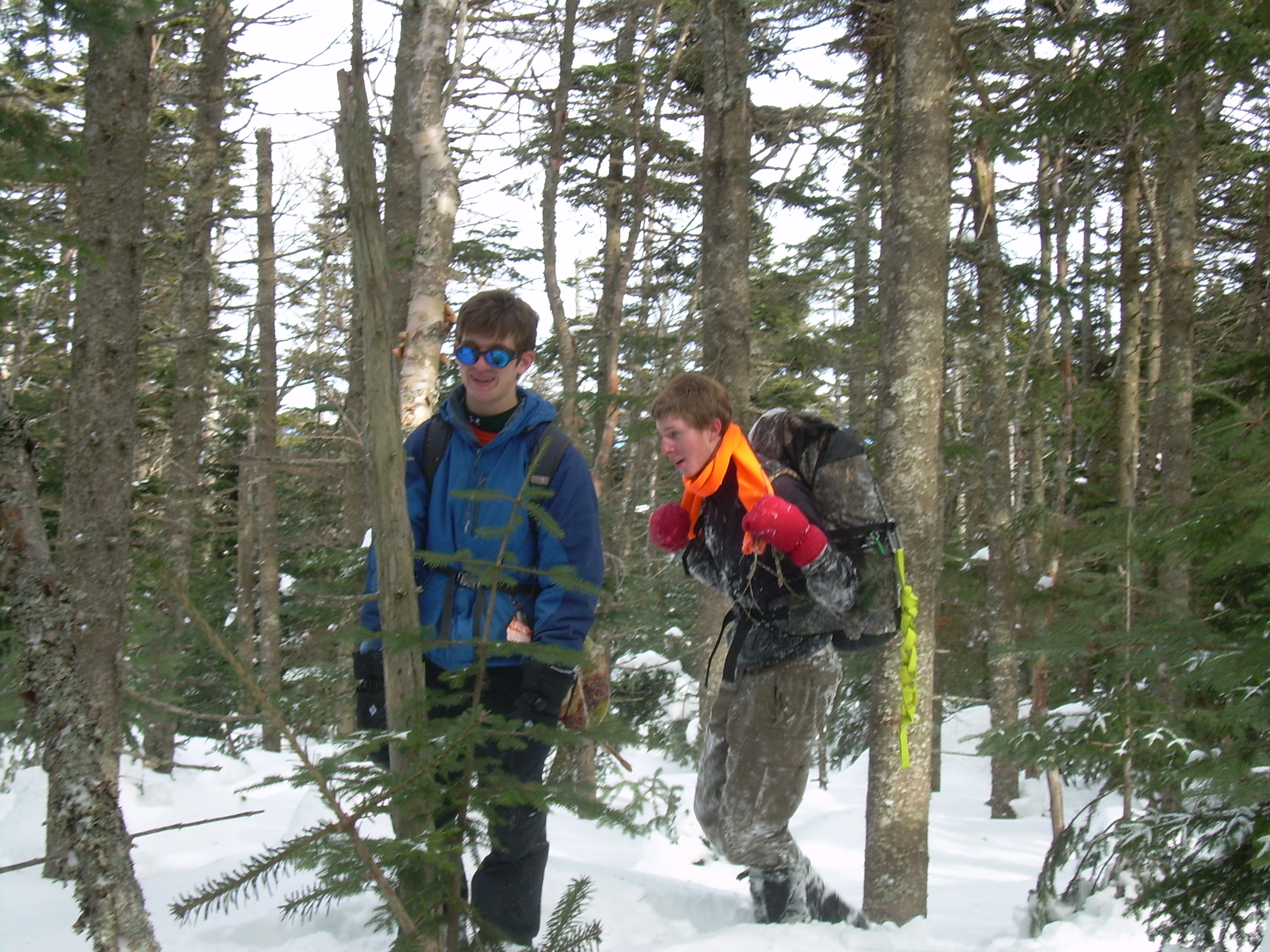
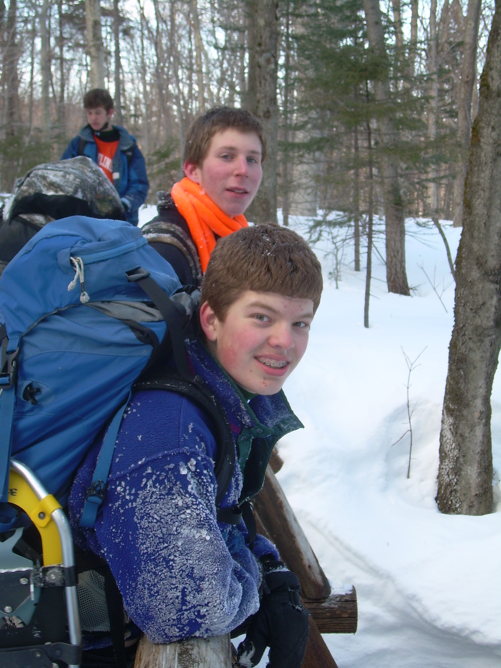
finally hit the trail. We have a strong and good natured crew who are a delight
to hike with, but no one seems to be in much of a rush.
Our trail winds across a flat-ish open wood for half a kilometer, and then drops
into the ravine cut by Beaver Brook. As we start to climb we almost immediately
leave the hardwoods behind.
Beaver Brook in the summer must be a series of cascades and I expect that the
ravine is perpetually filled with a mist. Being on the north and steep side
of a mountain I can imagine that it is cool, green and damp. But the winter
is different. First, most of the brook is under ice. Sometimes we can hear
the rush of rapids and falls, but it is encased in ice and obscured from view.
Also we can not hear it as much as I would expect. A steam two meters wide
and half a meter deep plunges over a cliff ten meters tall and we can hardly
hear it. That is because on top of the ice is often a very thick layer of snow
which muffles everything.
I can guess where the famous iron rails might be, for there are some very
steep section where we are almost on hands and knees. But the rails are
at least a meter or more below us buried in the snow. The snow has the
effect of evening out the terrain. The shelves and the cliffs which one
may encounter in the summer are all just a great continuous rise, as worst
pitched like a steep roof, but no more. In the end we never used our crampons.
We never saw ice, only snow, and the snow was so deep we wouldn't venture
far without snowshoes. Modern snowshoes also have metal teeth, or crampons,
sometimes called "Bear Claws", build into them, which made hiking
this pitched trail possible and relatively straight forward.
We met a few other hikers on our way. The first was a young man in his mid
twenties who raced past us. I think he was late joining the group of women
we met at the trail-head. We also hiked several kilometers with a man who
was carrying skies. He was planning to ski down the ravine - an idea we
marveled at. We asked him if he would like to pass us, but he laughed and
declined. He didn't have snowshoes and said if he preceded us he would be
wallowing in the powder, whereas if he followed the seven of us and our
snowshoes there was a firm, packed, easy and clear trail.
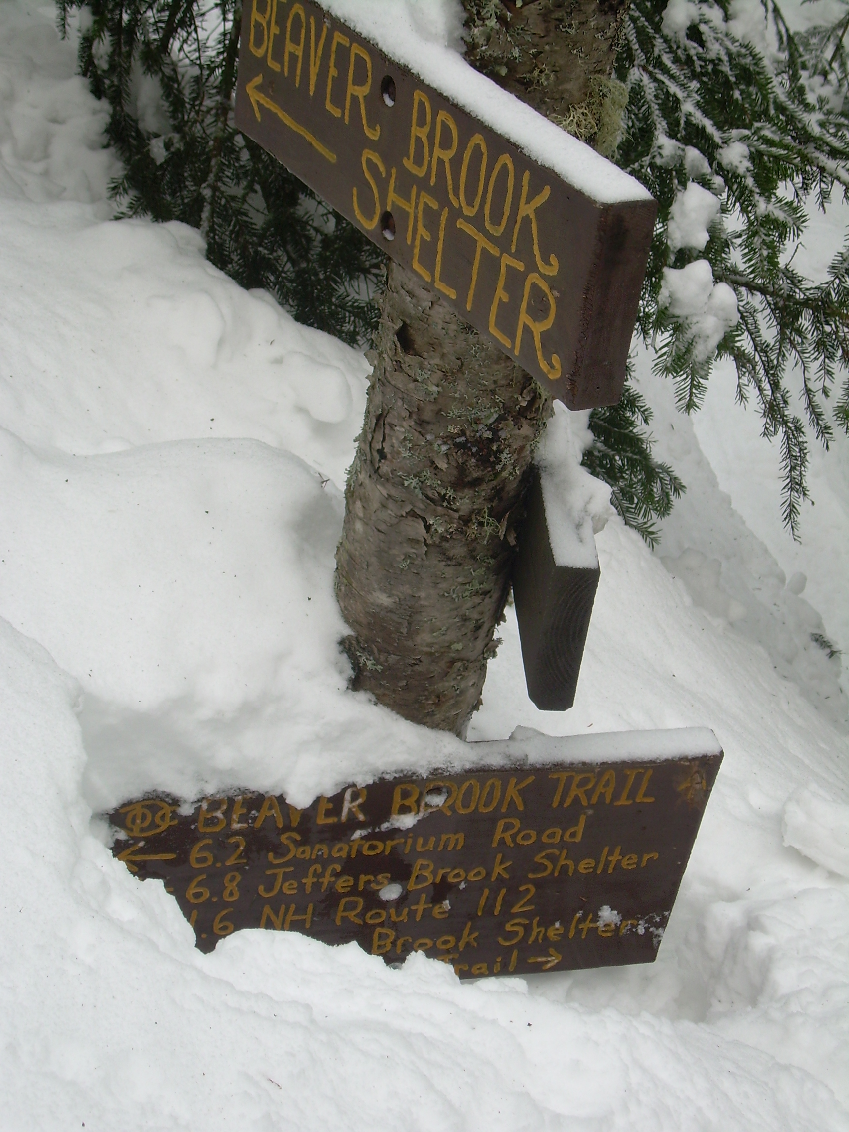
A little over two kilometers up the trail we diverge from the brook and
meet a group of hikers who have spent the night at the Beaver Brook
Shelter. Then had lost the trail yesterday on there way up, so we have
not been following there print. However from the time we meet them, to
the turn off for the shelter the trail was packed and easy. We left the
skier at the shelter turn off and continued to the Ridge Trail Junction.
Fritz is breaking trail for us here, but the trail junction marks the end
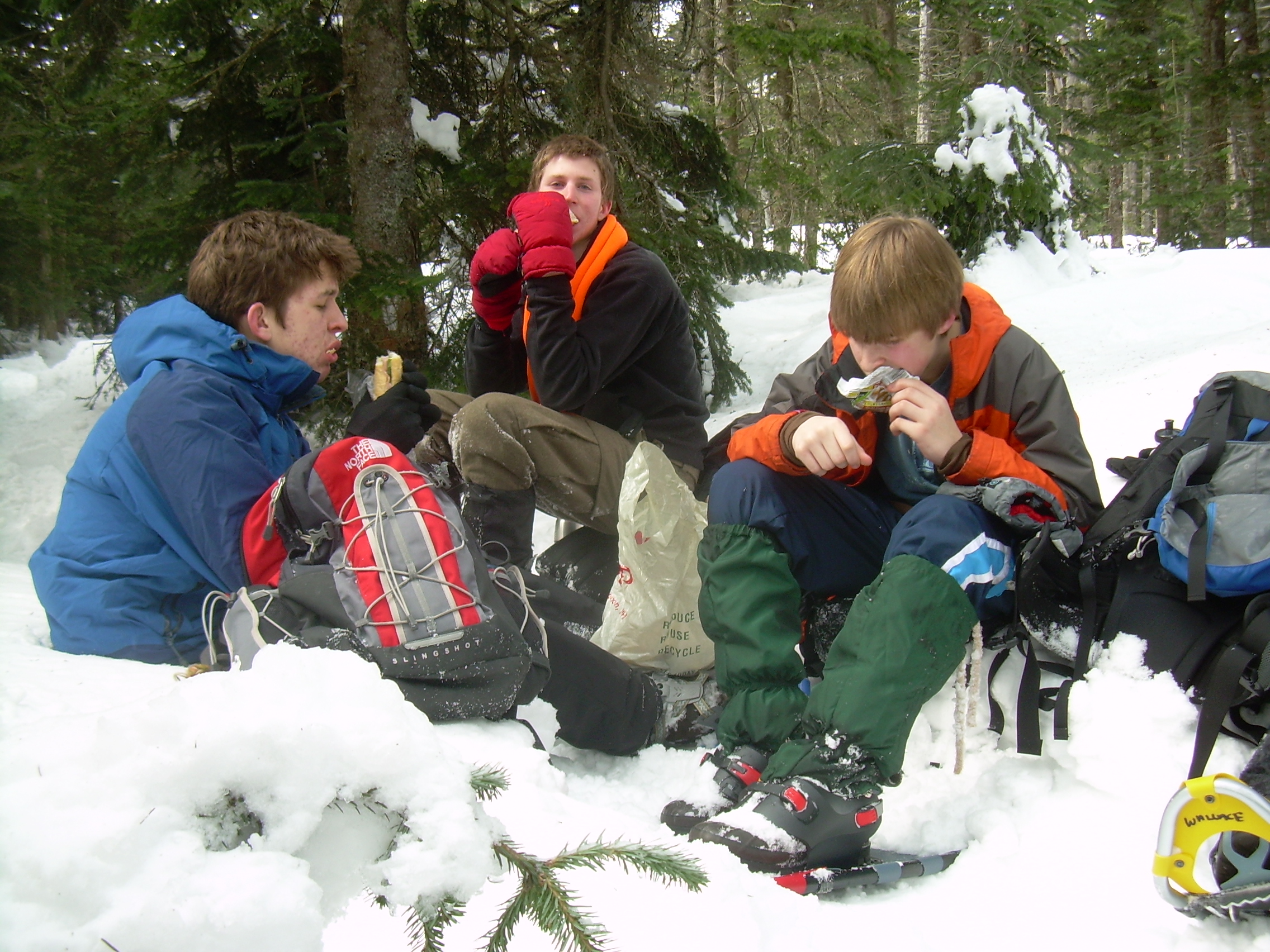
of the really steep section of the hike, and to celebrate we stop for lunch.
We have climbed from 1,800 feet to 4,000 ft on our way to 4,800 feet.
So this is three-quarters of our elevation grain, but only just half of
the horizontal distance. Still we are all in a good mood.
So it is about 2-3 kilometers from here to the top, but we have done most
of the elevation gain and were looking forward to an easy finish. When
things look easy - be-weary. We were skirting the base of Blue mountain
when one of the scout tripped up on his snowshoes and took a bad tumble.
He got up and brushed himself off an tried to push on, but took a second
tumble almost right away. He had twisted his hip and wasn't walking
right, and his snowshoes were a bit unfamiliar and larger then he needed.
It became apparent that he could continue as it was. We tried switching
him to a smaller pair of snowshoes - which definitely helped - but not
enough. He could walk downhill alright, but was in pair walking up,
and we still had 2 kilometers over and 250 meter up to go.
It became clear to me that this was going to stop our ascent, but
the patrol sat down and talked it out. I asked them if we could go
on or split up or what? They all immediately know we could not go on
or split up, but I was delighted to hear their reasoning. Fritz
explained that we had a plan for many problems and that part of the
plan involved us staying as a group. For example, the scout had
split up the emergency gear, the stove and tent and sleeping bag,
and that if we were two groups neither group would be fully prepared.
Way to go Fritz!
So we turned back.
One of the benefits of turning is that we now have a lot of extra time in
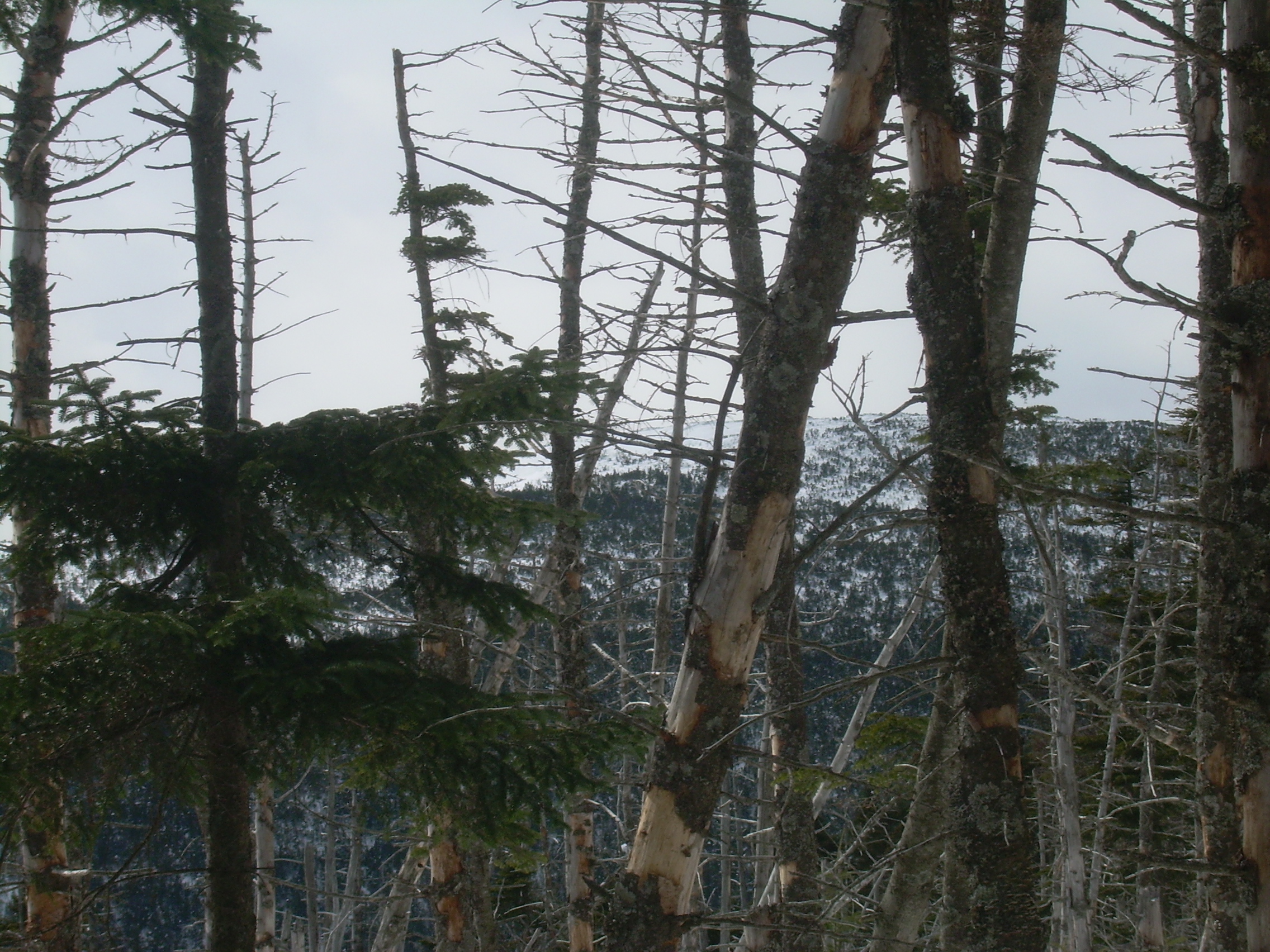
our day. This meant that when we came of an opening where we could see
the Franconian ridge and even the presidential we could stop and get
out our compasses and take bearings on these peaks and name them.
Lafayette, Lincoln, Haystack, Liberty and Flume, and beyond them,
the distant giant - Washington.
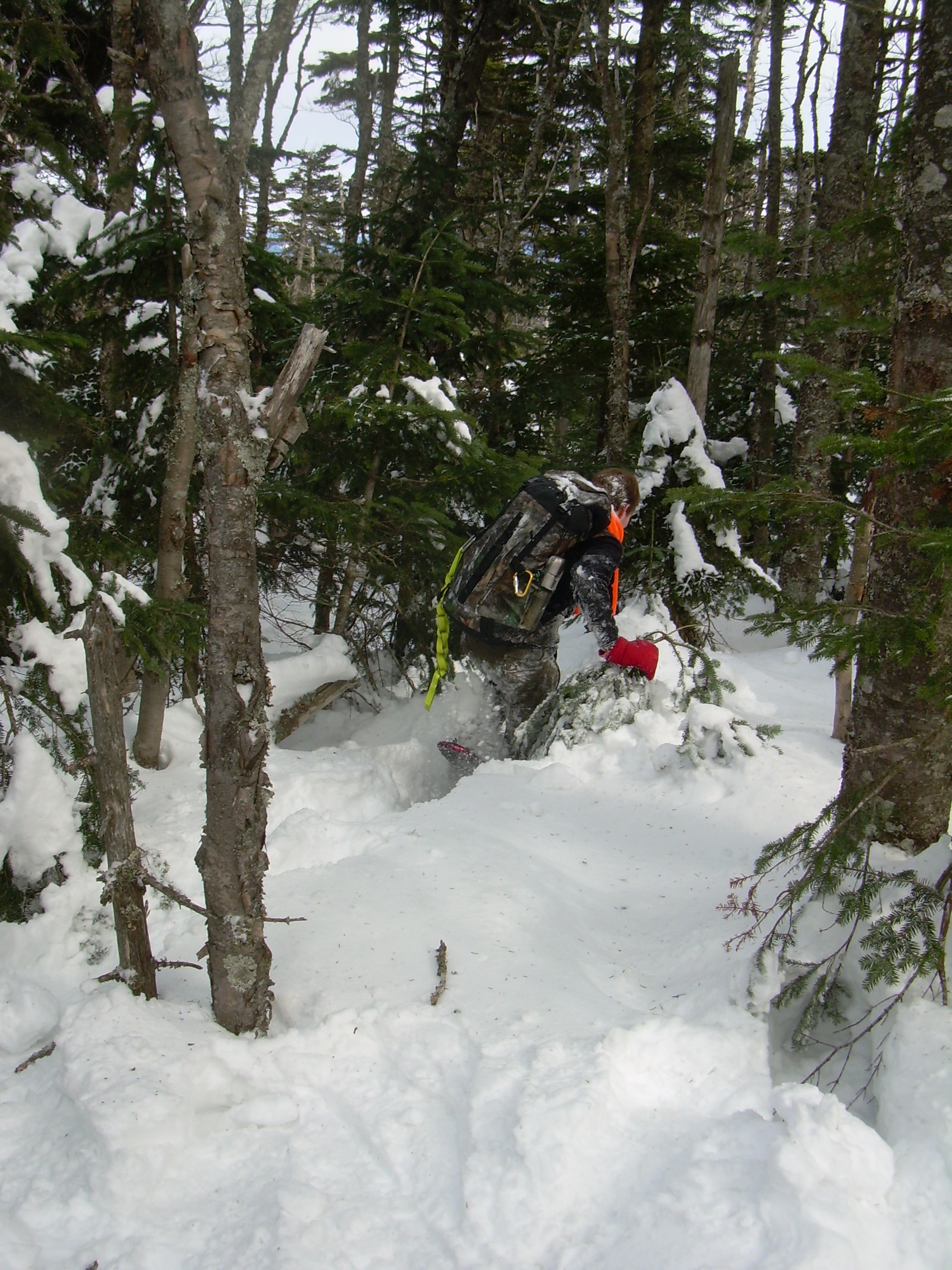
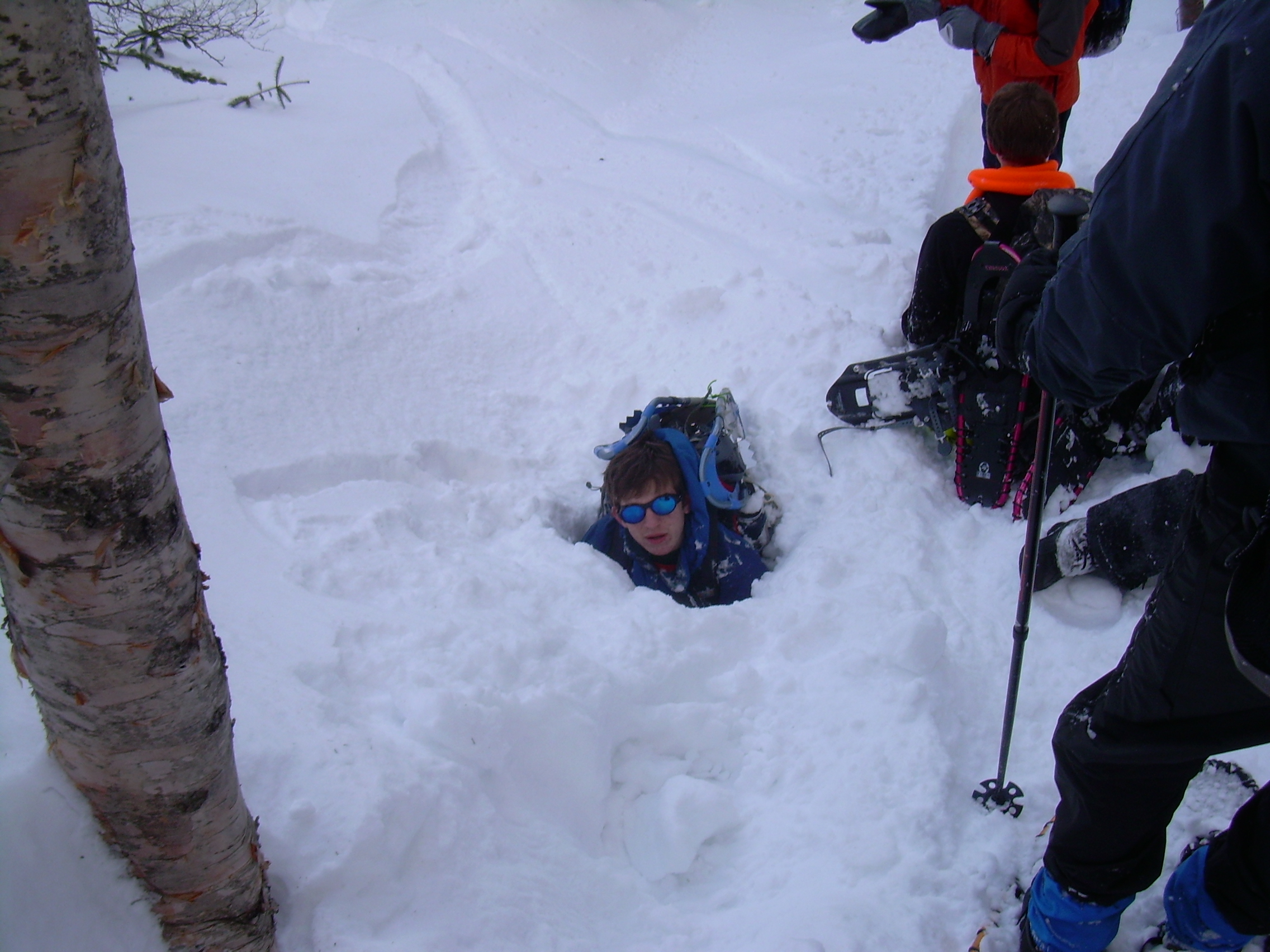
Ari and Robin also took the opportunity to try some off trail snowshoeing.
I think none of us had really appreciated how deep the snow was. Even
with snowshoes it was easy to plunge in up to their waist. They also
learned something about "Spruce Holes", pockets of air in the snow
formed by the branches of spruce trees. As they reported, "When you
sunk in it was a challenge. You would like to pull yourself up with
a tree. But if your near a tree, that is where the spruce holes are."
Down the mountain we went, past the turn off for the shelter and back
to the brook. Here we saw the ski tracks left by the guy who had hiked
up with us. We were amazed. He had skied down the stream, avoiding
the few open gaps in the ice. At times skiing straight over what
must be a waterfalls in the summer. I thought to myself that this
would have been worth seeing at the Banff Film Festival.
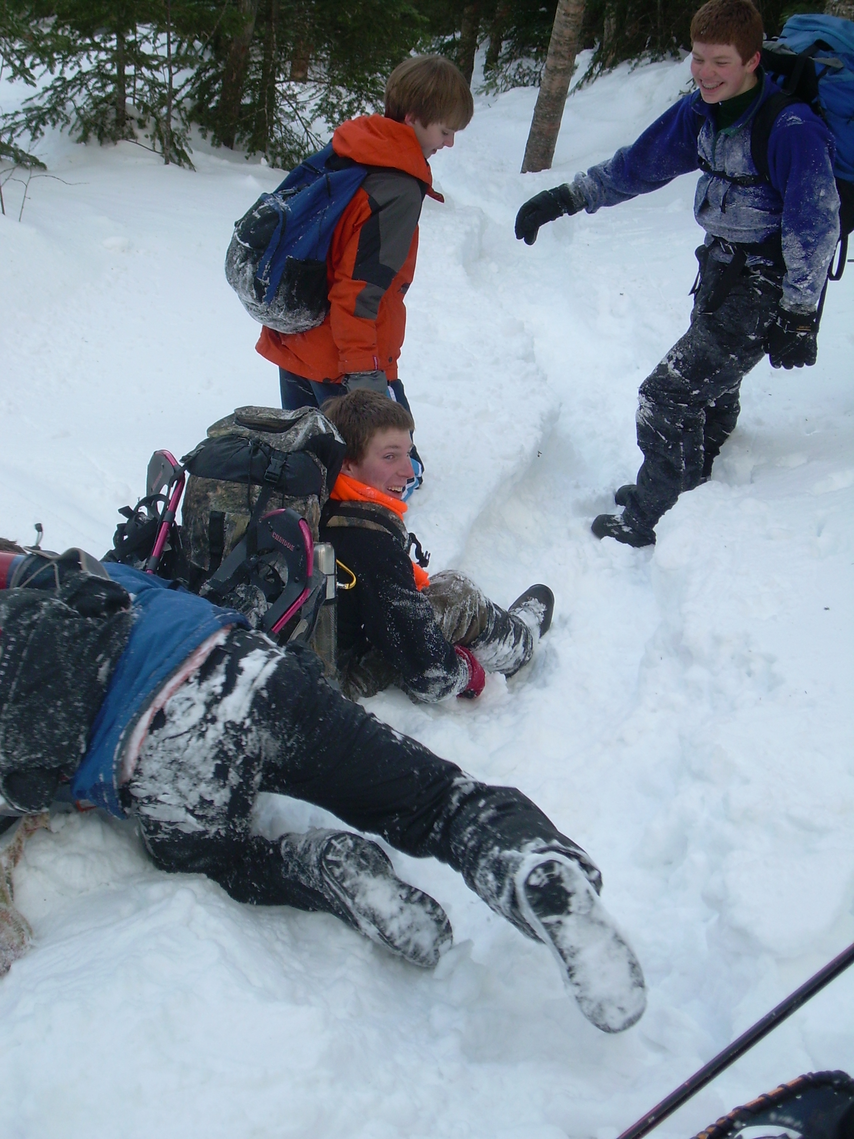
The trail is well packed and we often slide down sections on our
bottoms, which makes things not only quick - but fun. The three
women and solo man who we say in the morning have gone to the top
and now join us - taking their turn sliding on the steep sections
of the trail. Most of the trail is a 20-30 centimeter trough because
of the way we have packed it with snowshoes, so sliding down is
fast and sun - but also well controlled.
Near the bottom we leave the brook, cross a maple grove and reach
trails end by 3:20. The hip is just fine and we are all in good
spirits. I was surprised that no one really dwelt on the fact that
we did not reach the summit. We had two training goals, first to
see if we are physically strong enough to climb something that steep
and the answer was clearly yes. Secondly we were looking for
crampon experience - and that just was not going to happen.
In the end it was a fun day in the snow and sunshine with a bunch
of good people. And that might just be enough.
|
Map |
Starting up |
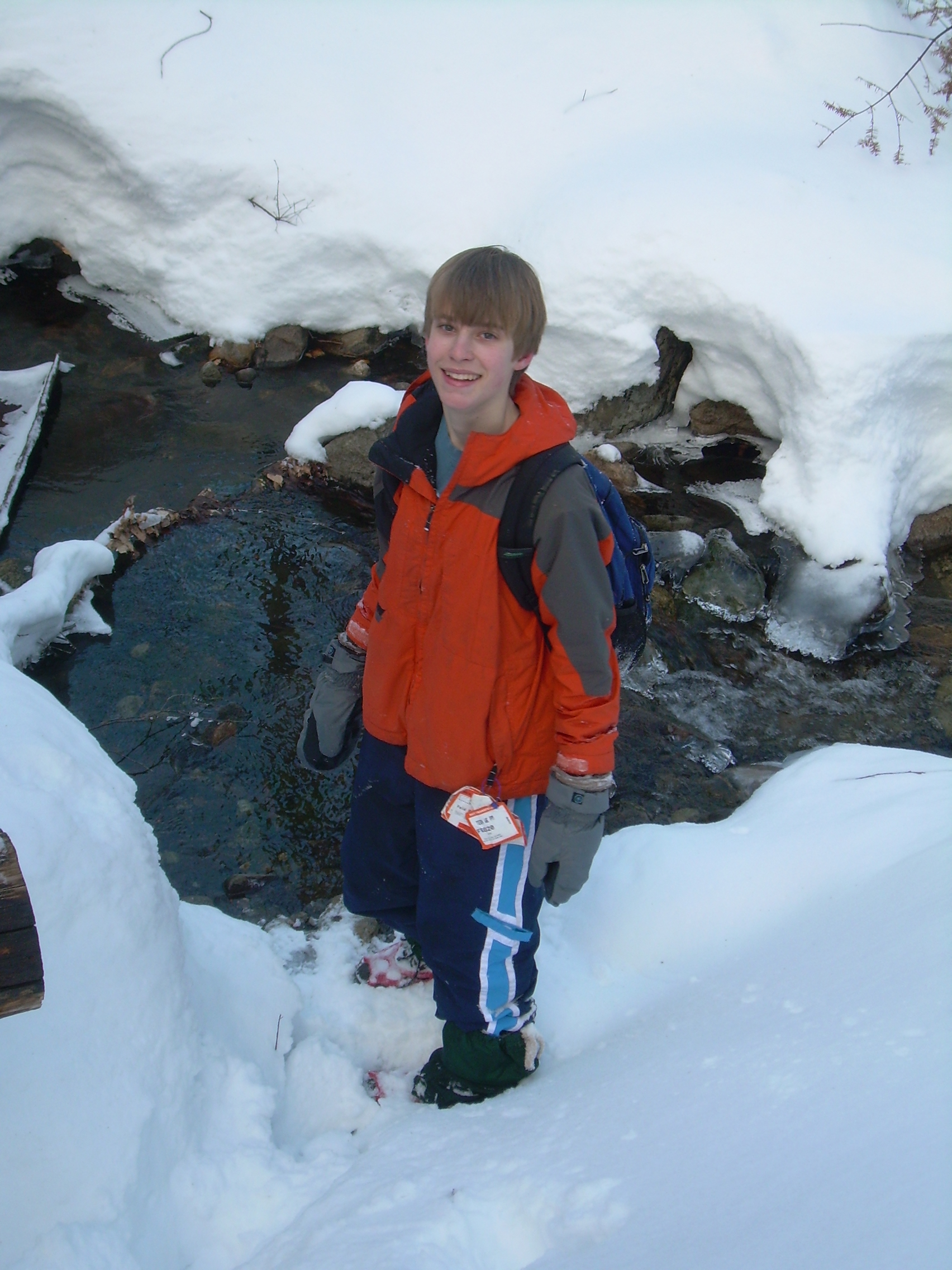
Nick |
Rest on the way up |
Turn-off for Shelter |
Lunch Break |
Moosilauke from Turn-around point |
Franconian Ridge |
The Crew |
Off Trail |
Off Trail |
A Spruce-Hole? (faked) |
|