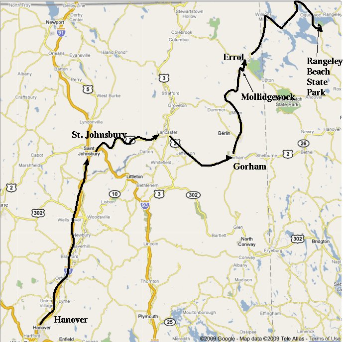
|
Robin, Connor, Seth, Fritz, Carl Ted Simpson, John Wallace, Tim Smith |
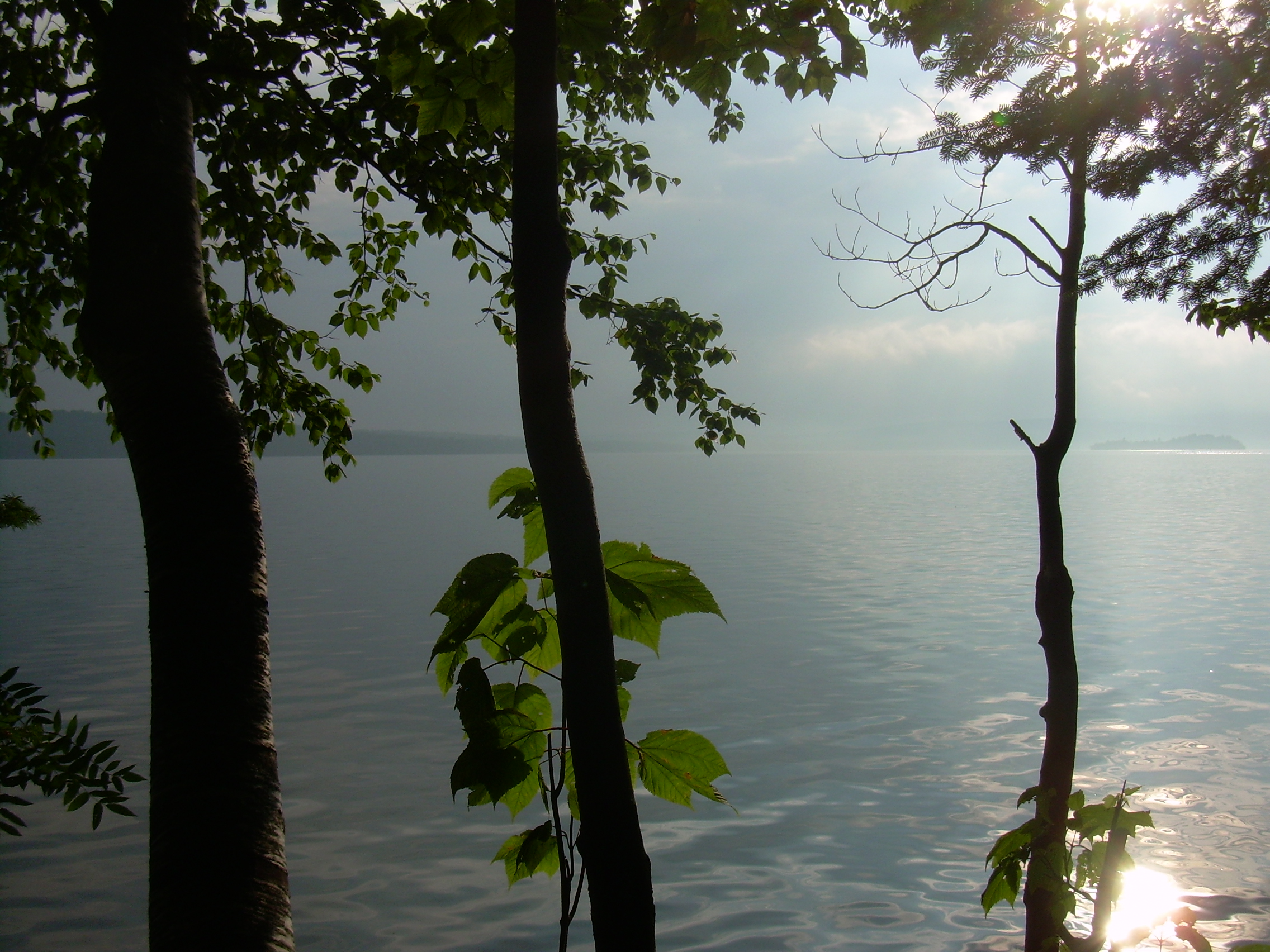
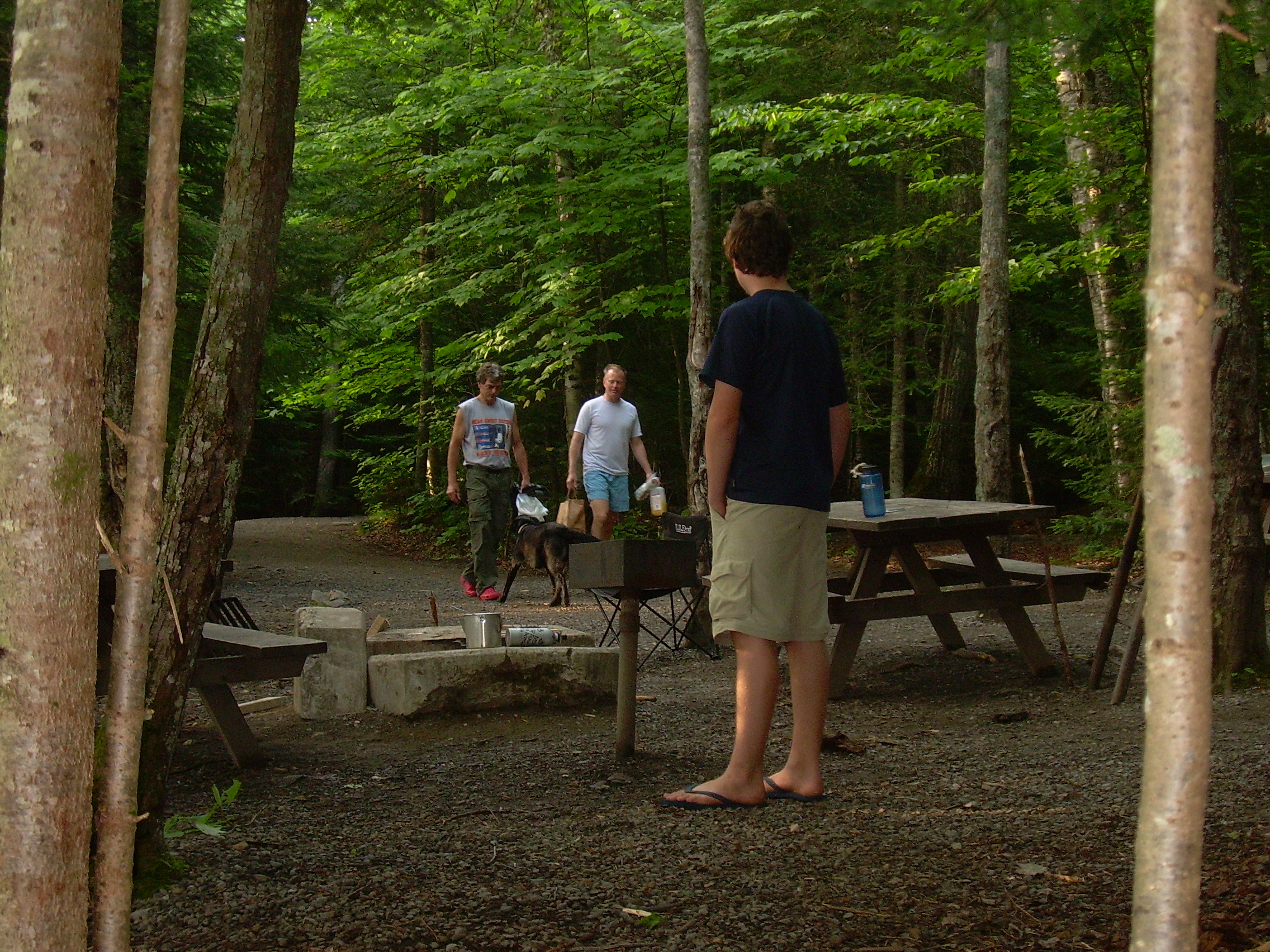
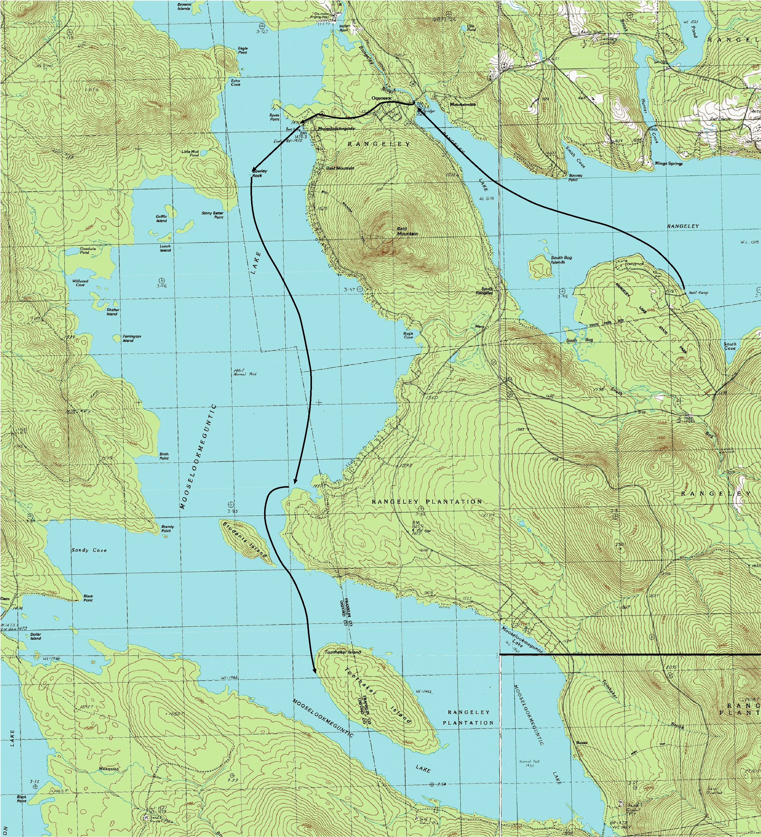
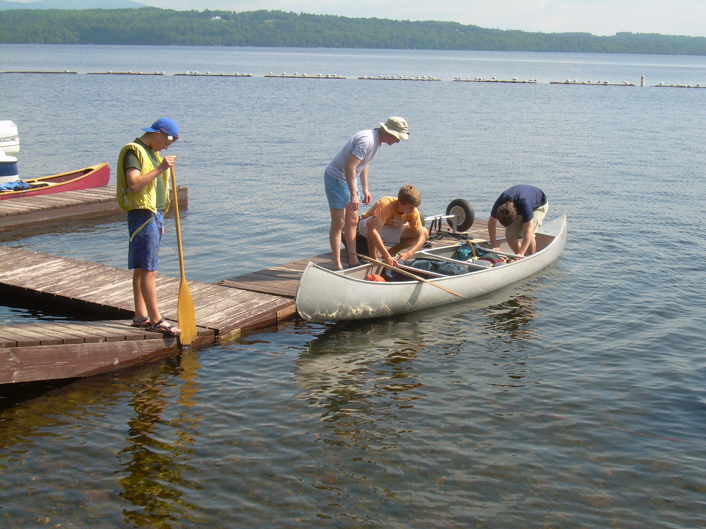
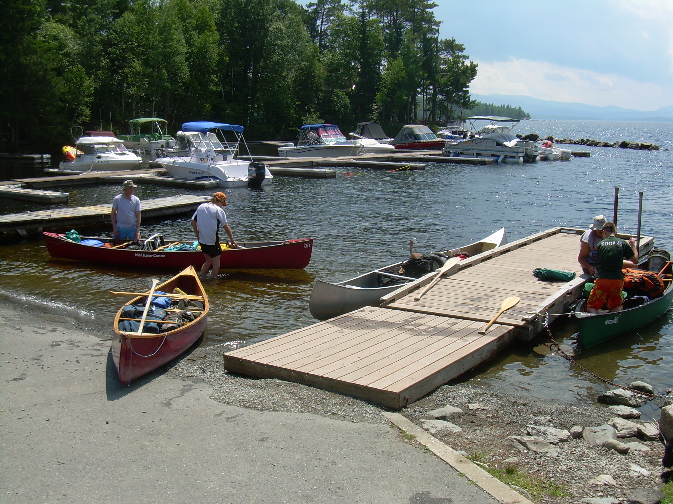
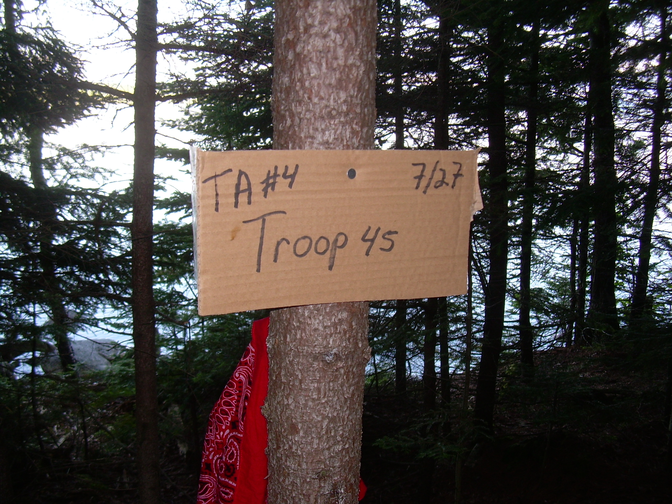
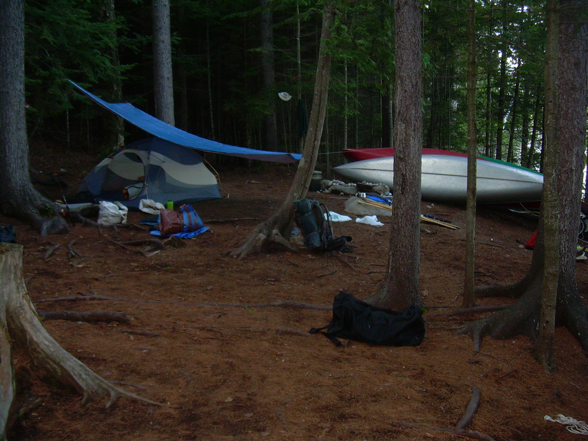
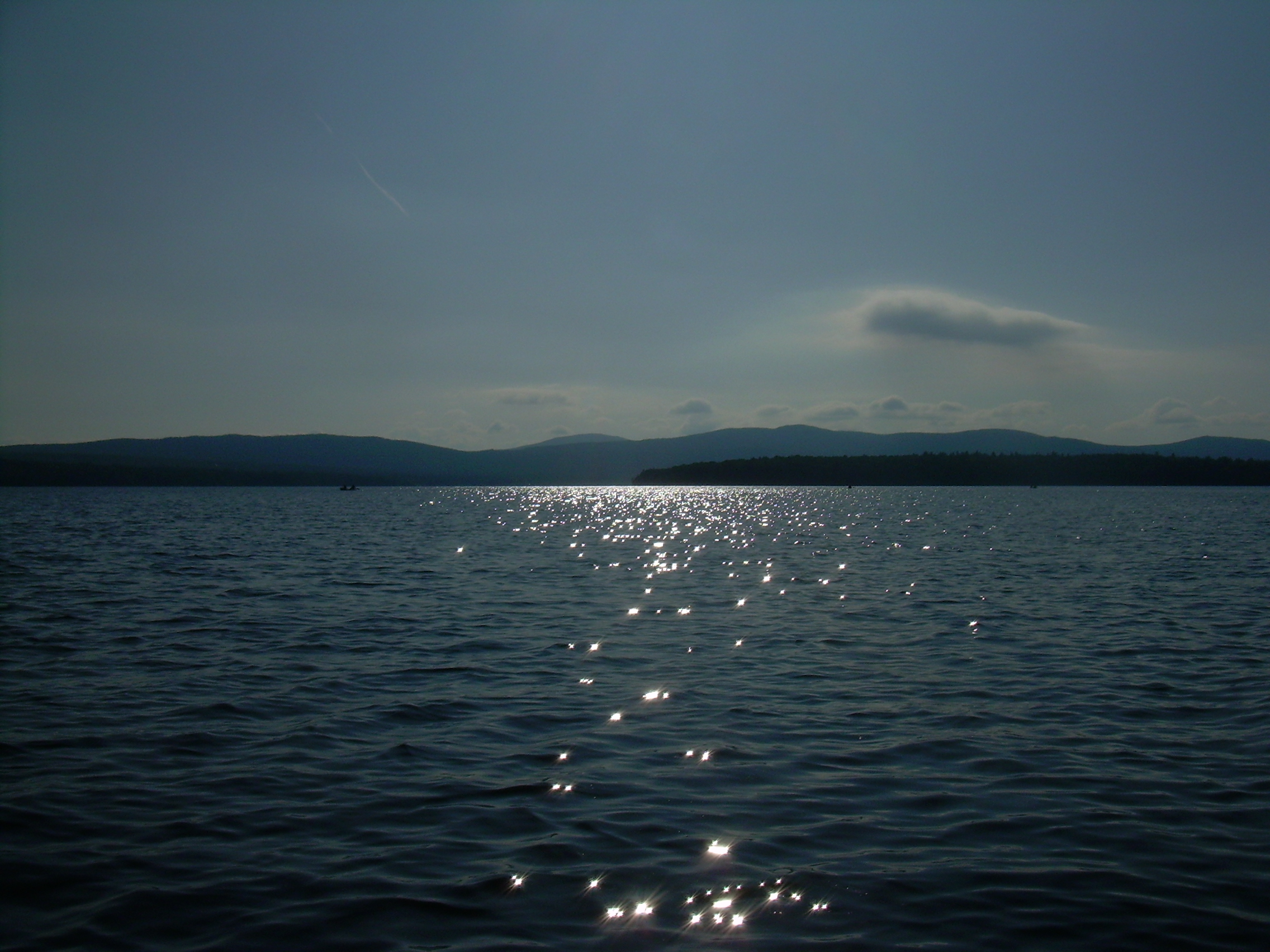
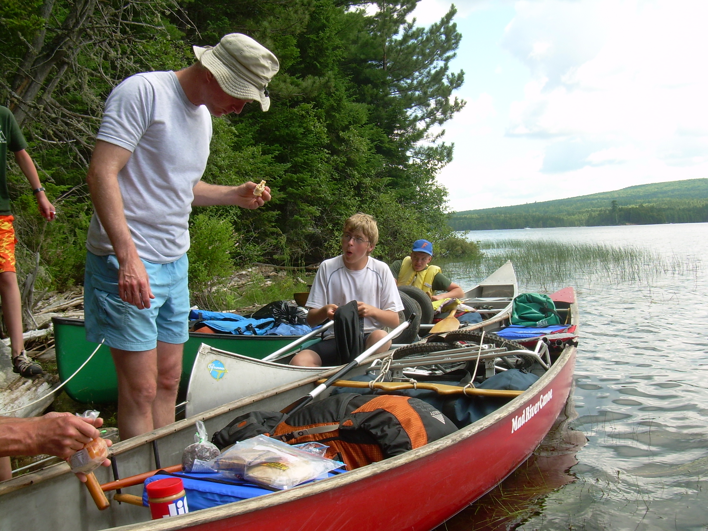
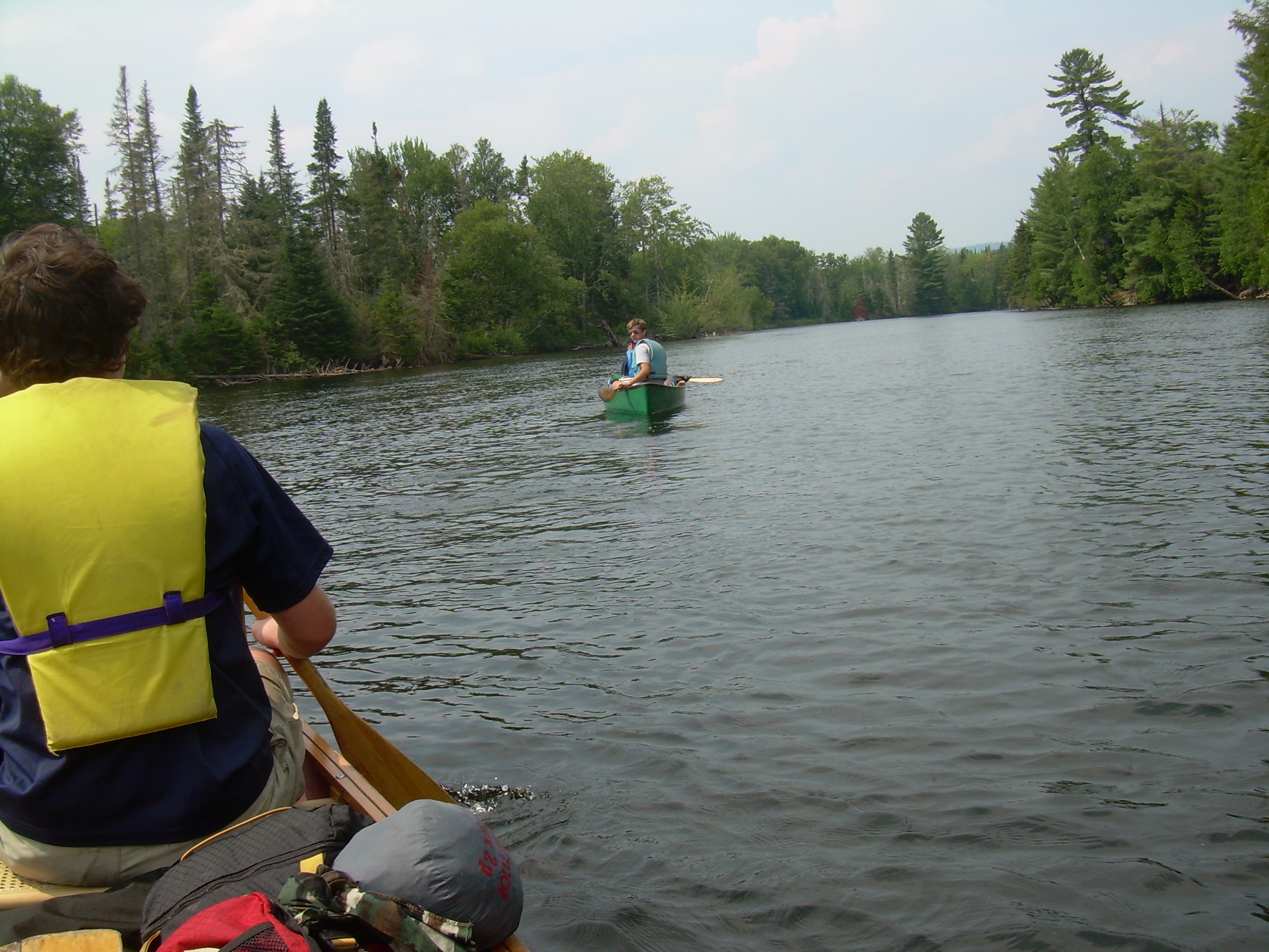
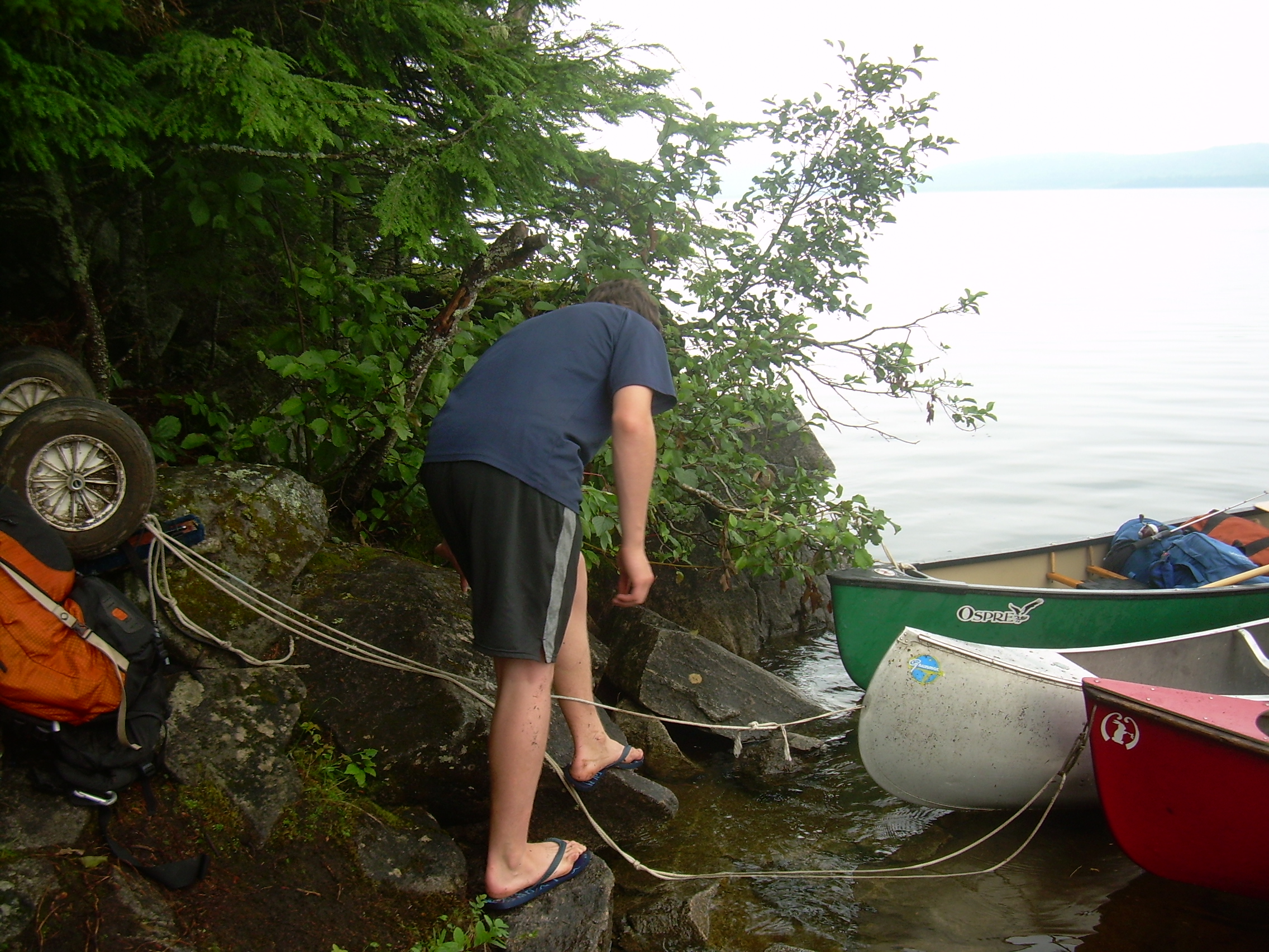
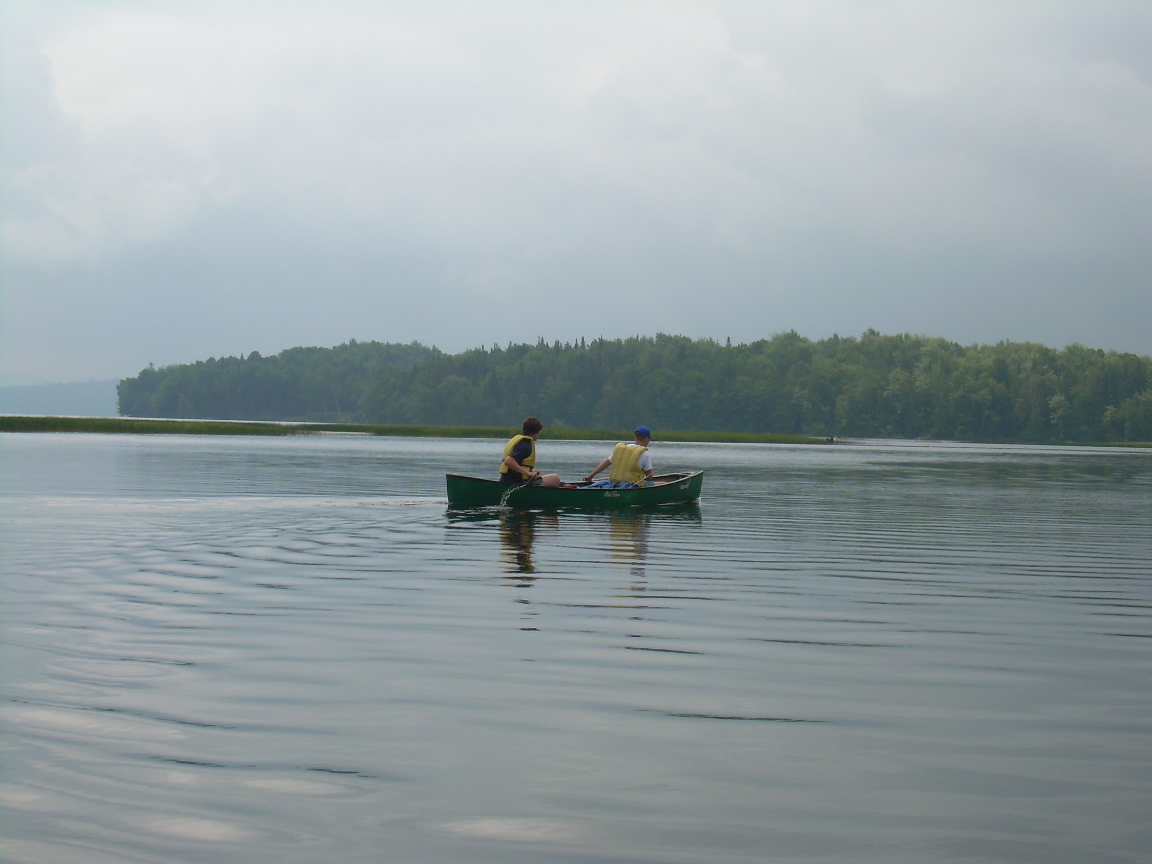
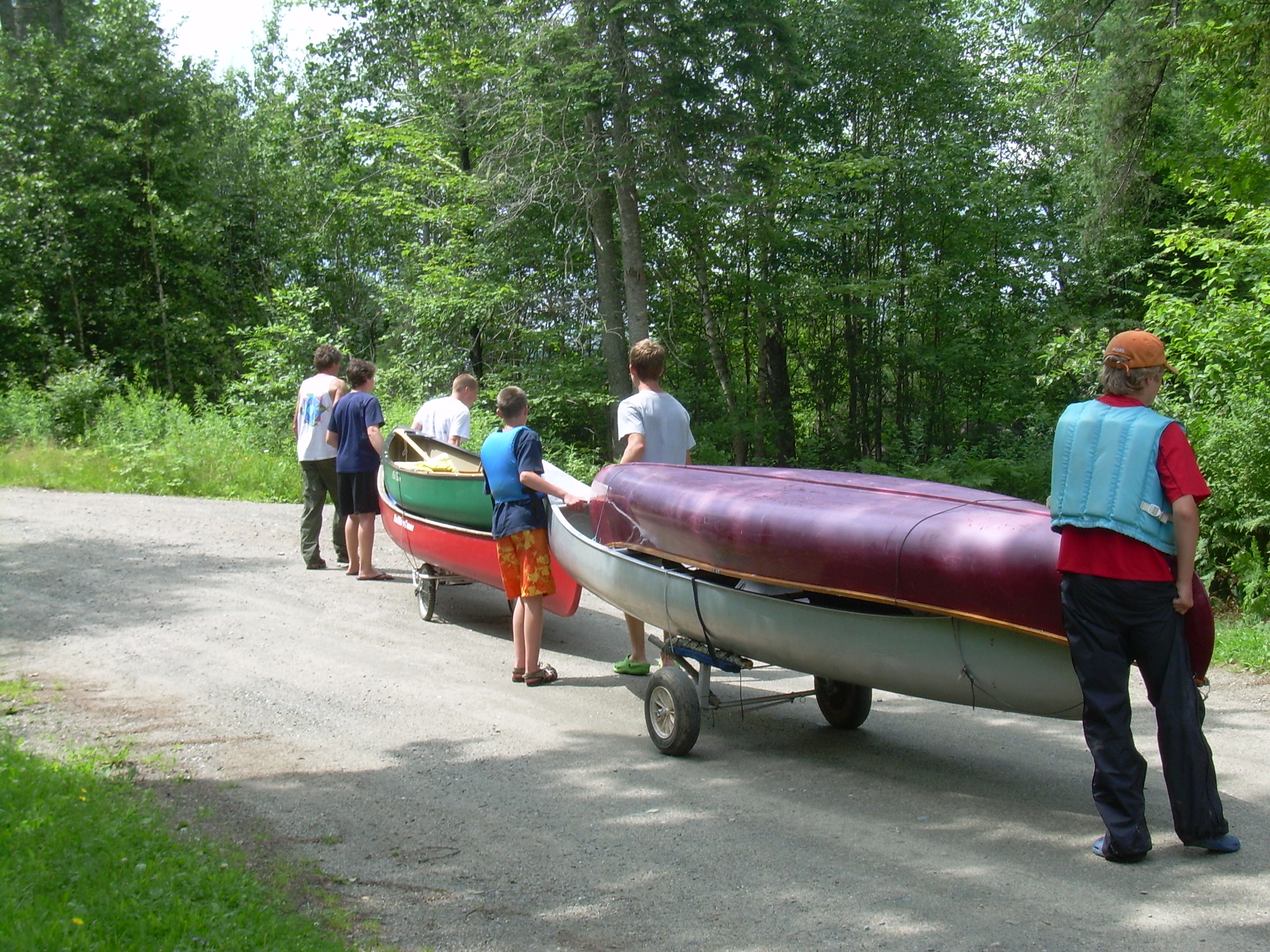
We get ourselves to the boat launch - again sort people, canoes and gear and then park the Simpson and Wallace vehicles. Somehow we have eight backpacks, six community duffels (food and cook gear), three personal duffels, fishing rods, ten paddles and ten PFD (two spare of each). We also pause to pick our crew chief. This is the scout who will organize us for daily task like cooking and cleaning. Actually in this size of group we all get our hands in every task, but the crew chief is still our leader. In the past the organizer of the trip is often the chief (Oli for LT-1 and Galen for LT-3). This year our organizer was Robin - but he had no desire to lead. So Carl was selected. I think this was a good choice. Two days ago when we were buying food he was the master of the list, and showed organizational ability. By the time we sort all this out and stow it correctly in the canoes it is 10:30 when we finally launch. Finally! Rangeley Lake is placid this morning and a good place to get use to our boats, our partners and our paddles. We headed northwest along the park's shoreline and then across the open waters. To the west we can see South Bog Islands, to the north Bonney Point. These and most of the non-park shore are covered with cottages. It is an eventless hour and a half and three or four miles to where we land at Oquosso. I had read that the portage was to the left of the river. Also on the map I had seen dirt roads marked on either side of the Rangeley River, but it was not clear to me how to get there. I inquired at a fishing supply store next to the landing and was told that route-4 was also called "Carry Road". So we put the canoes on the portage wheels, shouldered our packs and headed off down the road. We have "double-decked" our canoes. We have two sets of wheels and four canoes, so we set a second canoe on the first one. This works well for a dozen minutes, but when the top one slides off we need to re-stack and tie down again. It is about 1.5 miles to Mooselookmeguntic Lake and it takes us just an hour to land our canoes, transport them, repack and relaunch them. It is now 1:00 and we are all thinking of lunch, but our four canoes almost completely fill the public area of the boat launch and other people are waiting - so we push off into the lake. A man at the boat launch is a guide for Saco Bound and full of information about our passage. He points out a potential lunch spot up the lake a bit north, but that is the wrong direction. So we paddle a mile southwest to "Bowley Rock", an island five meters across and a quarter of a mile from the shore. Some of the scouts are hesitant to step out on this rock, for where we landed was covered with goose dropping. But the windward side was nearly clear, possiblely due to waves scouring it or chasing the geese to the leeward. And we are all hungry. Cheese, pepperoni, peanut butter, jelly, crackers and dried fruit. We launched again at 2:00. This is perhaps the hardest section of the whole trip. We canoed four miles in three hours! We were butting a head wind on a wide open lake and seemed at times as if we where making no progress. I am proud of the way the scouts hung in there hour after hour. All this time we could see "Student Island" down in the middle of the lake, and stroke after stroke after stroke it didn't seem to get any closer. The waves were mounting and we all took a bit of water over the gunwales, but nothing dangerous. Hour after hour. Sometimes creeping past the red cottages, sometimes just keeping even with the green cottage. Eventually we all moved off the straight track and closed in on the east shore hoping to find a bit of a relief from this unbearable zephyr. Half way down the east side of Mooselookmeguntic Lake there is a peninsula. This point of land is where the Stephen Phillips Memorial Preserve headquarters is located. The preserve owns most of the western shore of this lake as well as many of the major islands, including Student Island and Toothaker Island. They also maintain campsites, including the one where we will spend tonight. The wind is primarily out of the west or southwest. When we were in the heart of this big lake it was howling down the center of the lake and in our face. But as we made a mile crossing between Student and Toothacker it was more of a cross wind. Toothacker is over a mile long and half a mile wide and has only six wilderness campsites. But the sites are unlabeled and it took a while to figure out which was our's. We finally pulled up at what looked like the nicest landing, only to find a piece of cardboard nailed to a tree with the words "Troop 45" written on it. We have found our home for the night. Spaghetti and meat sauce with garlic bread tonight. We are all exhausted after the hard paddle and no one feels like lighting a fire. Everyone is headed to bed at sunset. I'm writing this at 9:40 - and I am the last one up.
|
|
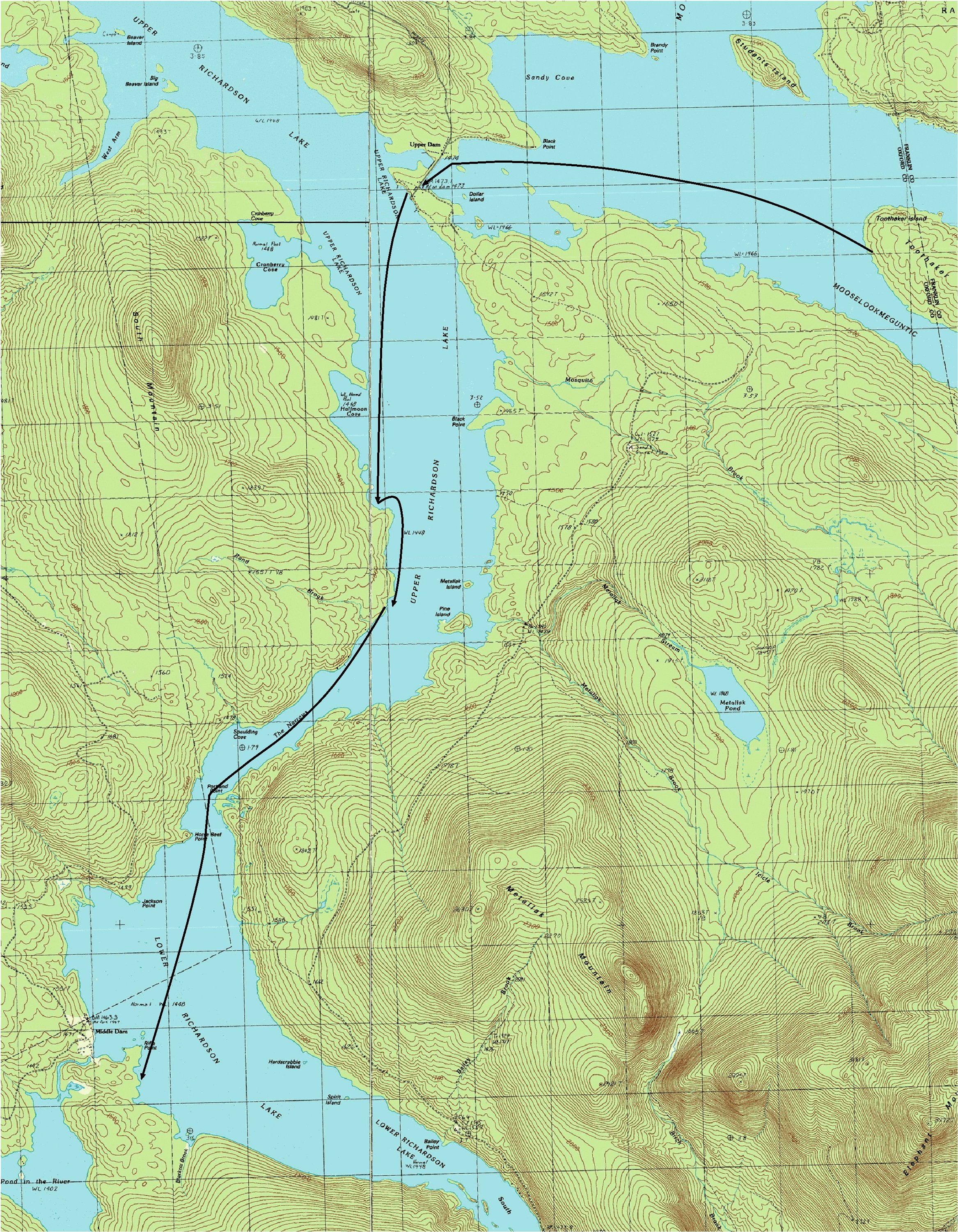
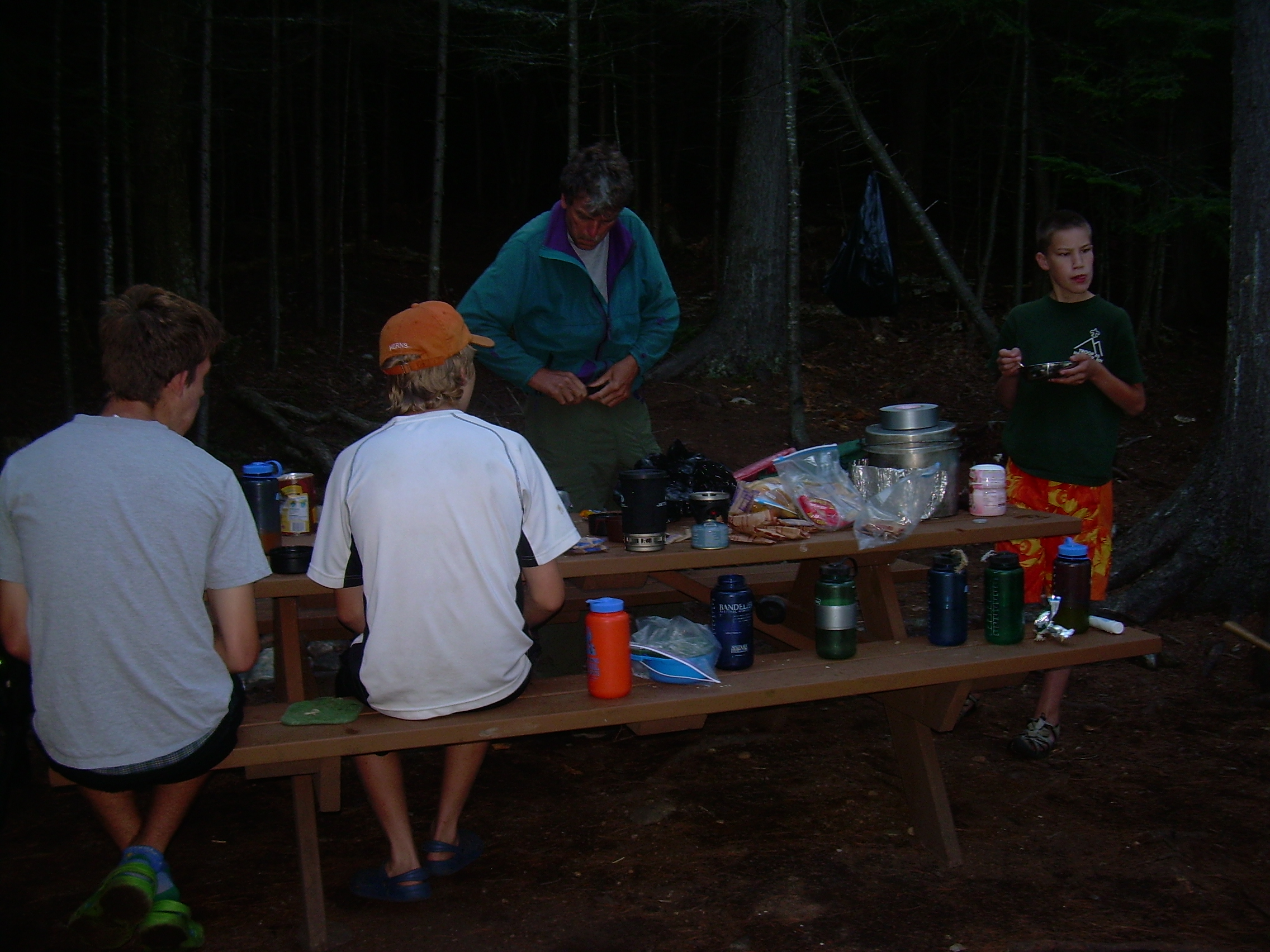
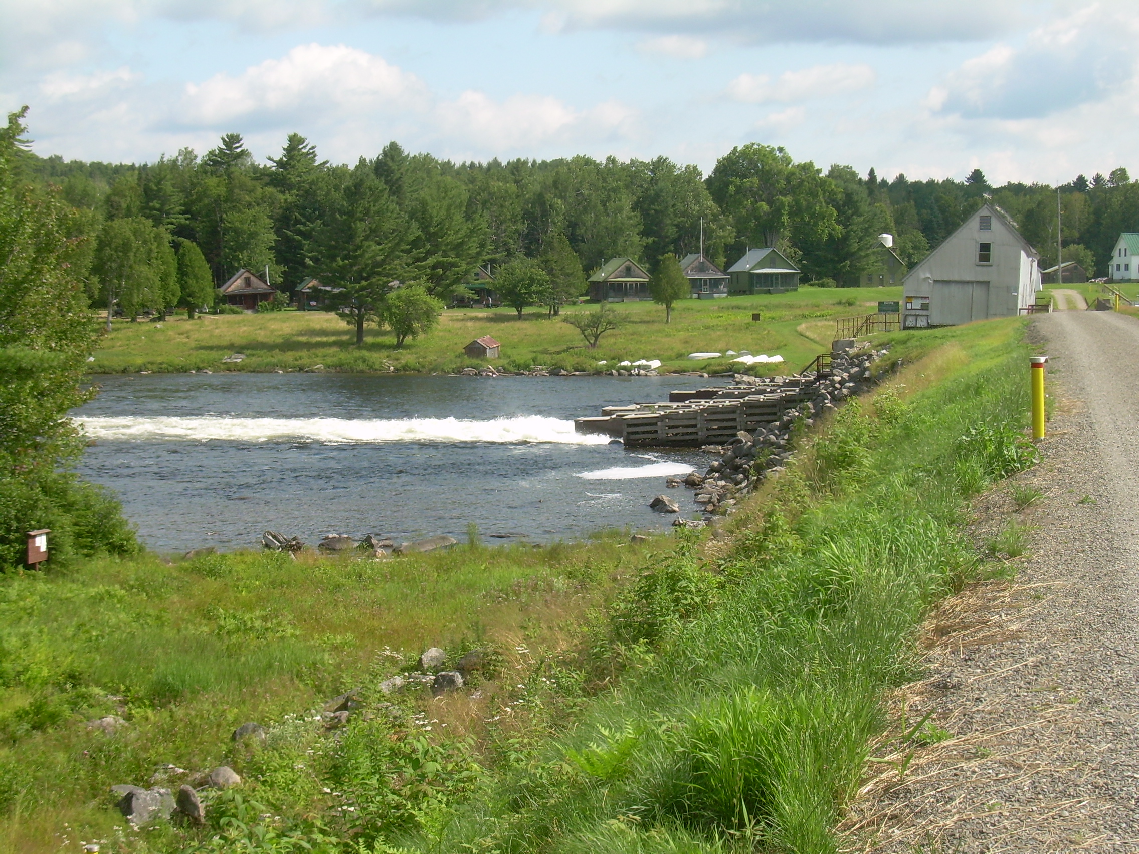
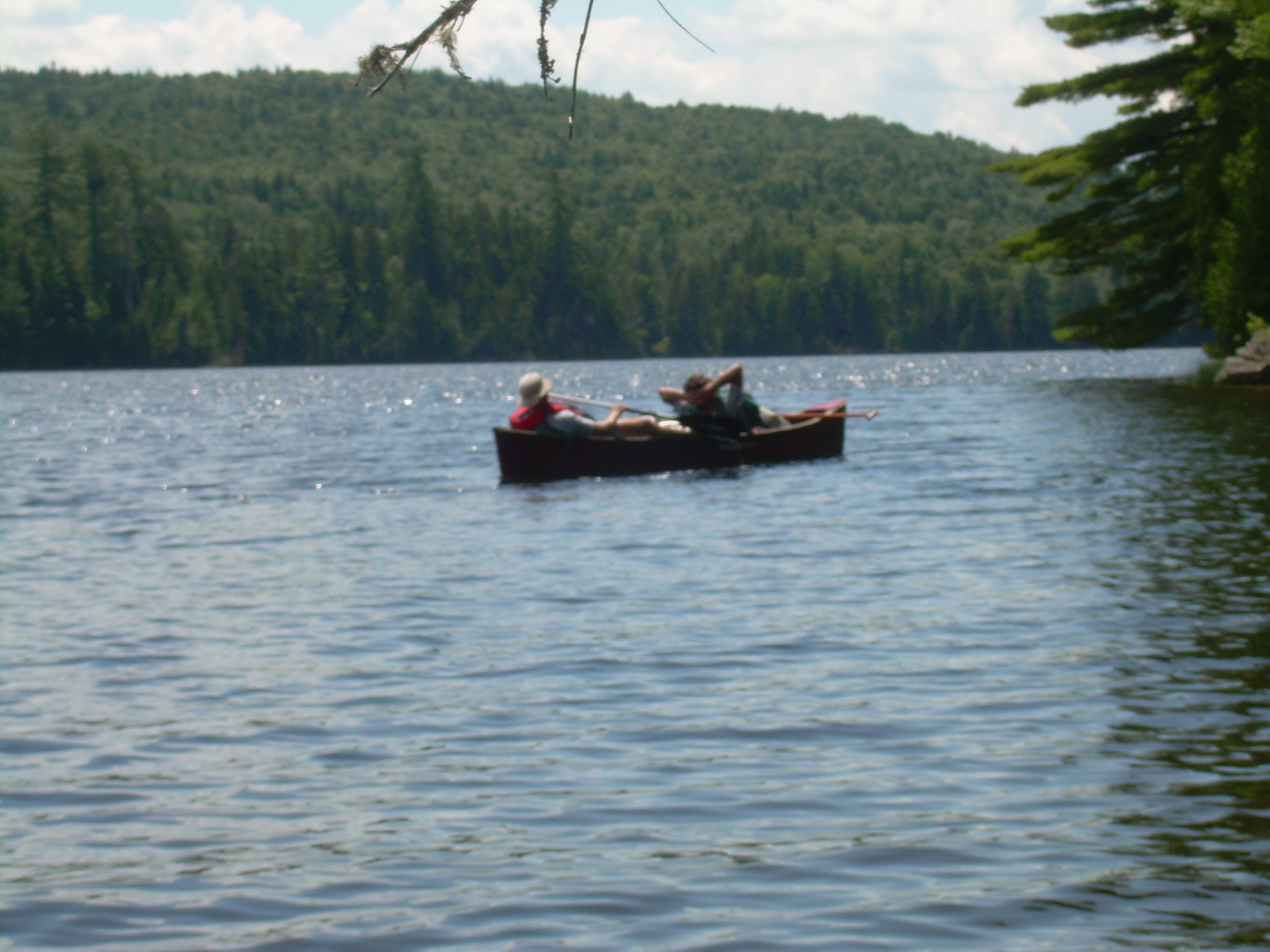
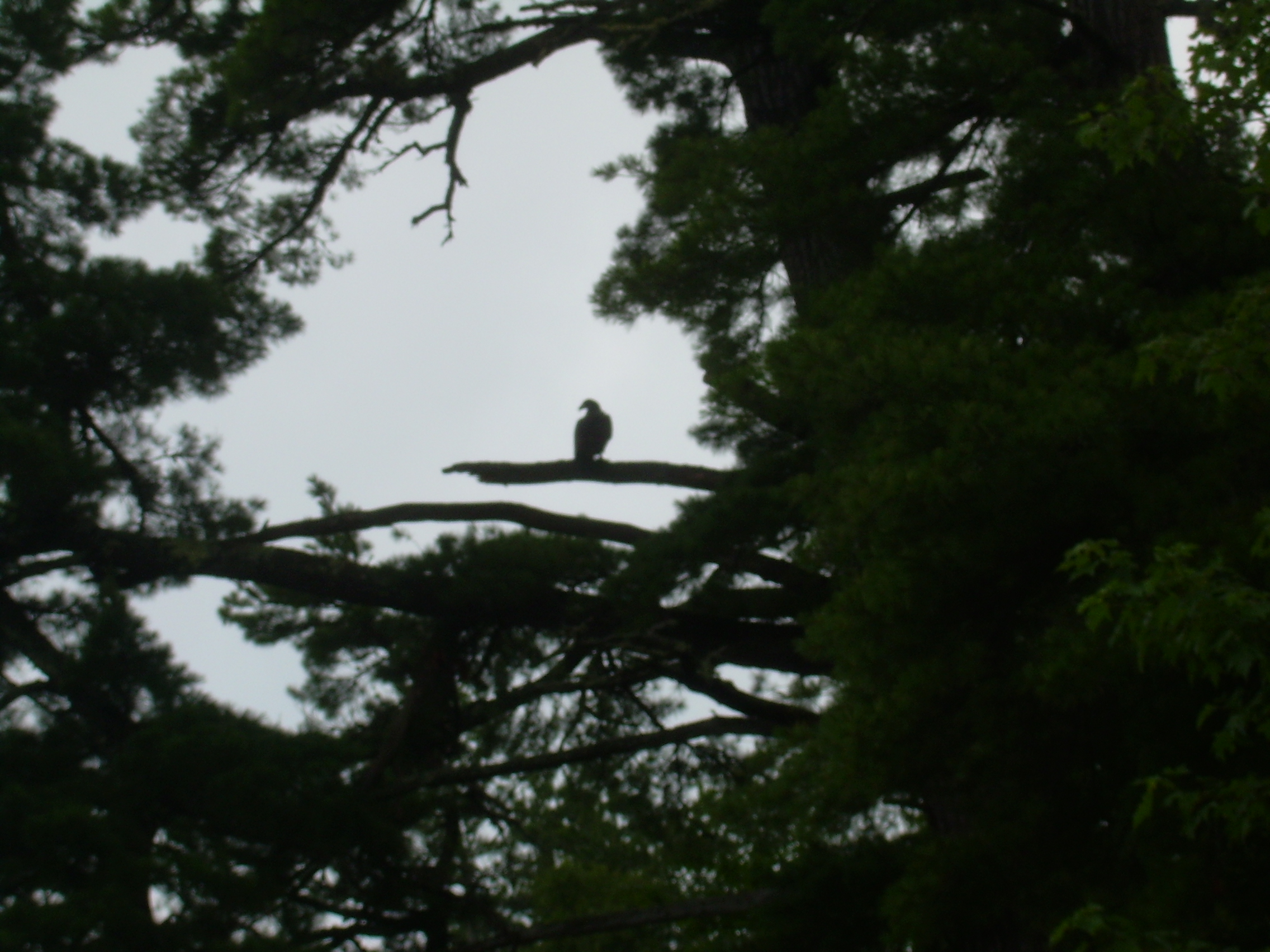
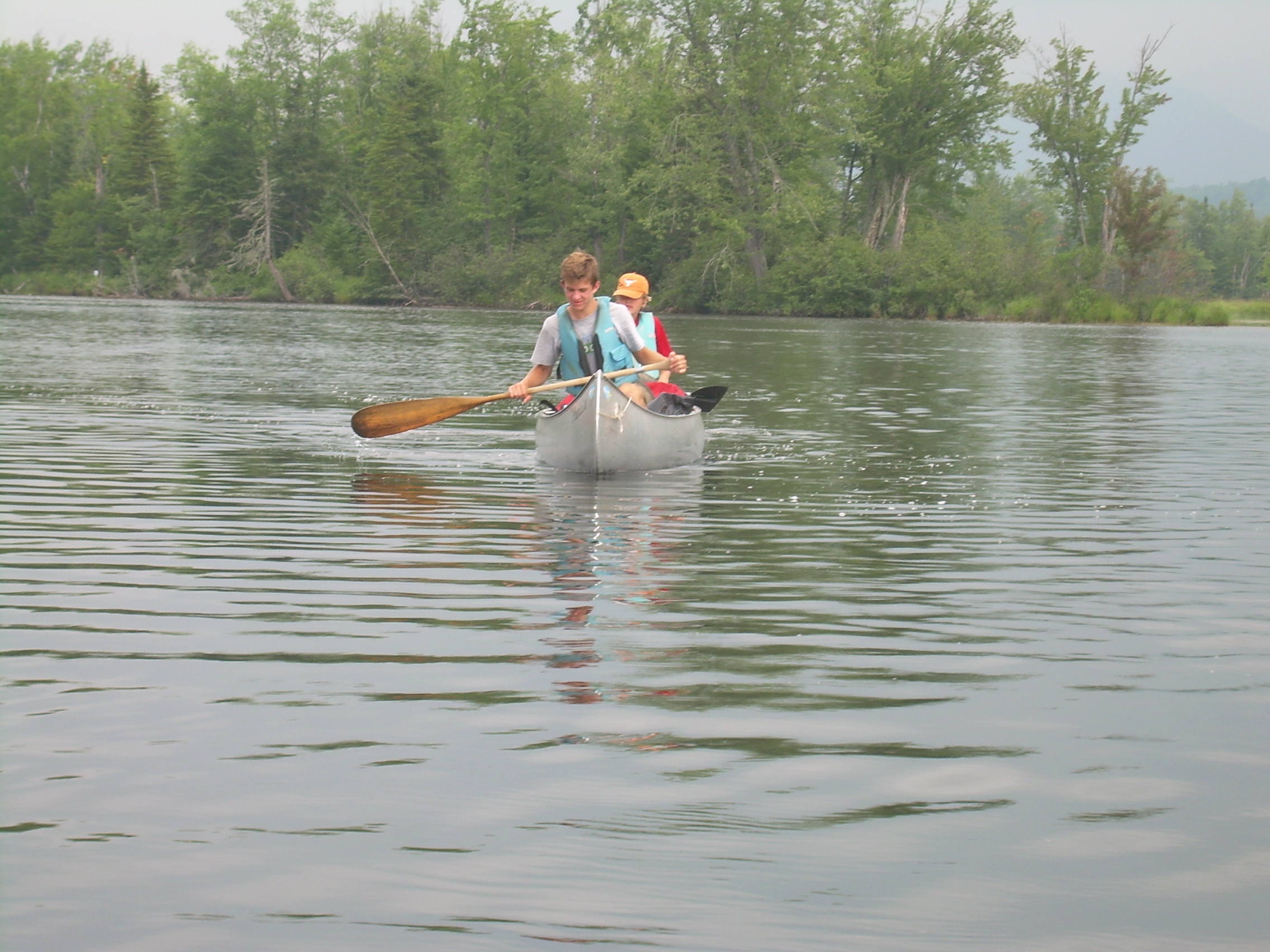
I have Robin as my bow-stroke today. He really is an expert canoer, which is not surprising since I have had him in canoes since he was one and a half years old. Also, with a season of crew behind him, he is very strong and we often find ourselves slipping ahead of the rest of the crew. For me this was a very pleasant time. It seems to me that normally, at home in Hanover, Robin is so busy that he rarely has time to just sit and talk with his father. But today we have over a dozen miles to paddle and therefore a great deal of time to just talk. When we reach Upper Dam we tied up to a dock and did a bit of exploring. We are astonished at the power and the volume of water which is shooting out of the dam's sluice-way! It really thunders and is deafening. Around the dam are a number of cottages, or "camps" as we say in New England. The whole complex of buildings is a "fishing camp" that Ted Simpson has heard about. It seems to date back decades. We look at first to portaging our canoes around the dam, but then realize that the carry road goes off the dam to the southwest and in 200 meters there is a dock on Richardson itself. We load the canoes up on the wheels and head off. Since it is such a short portage we do not unload the canoes, but instead make two trips with the wheels. As we are getting ready to launch a woman walking her dog stopped to talk with us. She told us that the winds on Richardson can be a challenge. In fact she told us that they seemed unusually gentle this morning. We decided to waste no time. Although it was only about 10:30 people were already talking about lunch. So we pointed our bows south and west to cross the lake. We tried to anticipate an afternoon gale by crossing to the western shore. Richardson is a long thin lake about 16 miles long and a mile wide. It is generally north-south, but with a bit of a reversed S-shape. Two thirds of the way down it it pinches into a narrows as it becomes southeast-northwest, and this is where I expected to be fighting the winds. This narrows also divides the lake into "Upper Richardson" and "Lower Richardson". We had paddled about three miles when Robin and I slide into a quite bay to wait for the others to catch up, when we saw a Bald Eagle in a towering white pine. We waited for the rest of the crew to join us and then let ourselves drift under the eagle. It would spread its wings and swish down across the bay and glide up into another tree. This repeated a few times and then the eagle circled behind us, and we continued up the lake. Finally we stopped for lunch. We just tied up to shore and ate in our canoes. Tunafish and pita today. The Narrows were the windiest part of the lake - but not nearly so daunting as yesterdays fight across Mooselookmeguntic. We worked our way up past Horse Beef Point and Portland Point and then into Lower Richardson proper. Middle Dam is clearly visible about two and a half miles away. But that is not our destination. We are aiming a bit to the south of the dam to a campsite called "Birches/4". The sites on Richardson are operated by South Arm Campgrounds, and the "4" means that we are 4-miles from the main camp. We will be in camp by about 2:00 and I am looking forward to a leisurely afternoon. When we finally land we find the most intense cloud of mosquitos there to greet us. Clearly they have been waiting for some fresh blood. We quickly set up our tents to have a refuge from the swarms. We also are soon clothed in long pants, long sleeves and every bit of mosquito netting we can dig up. But we can not spend the next eight hours in our tents. So we get in the canoes and head along the shore to where a number of boulders are in the lake. One of these has a giant iron ring on it, so we tie up and go swimming. The water is very refreshing and feels nice on our our mosquito bits. We also spend a hour or so on skills which they needed to demonstrate to me for the canoe merit badge which they are all working on. The canoeing merit badge is one of the very few merit badges for which I am a counselor. Back at the site the scouts build a smokey fire which helps some - and then return to their tent to play cards. I took my book, Thoreau's, "The Maine Woods", and anchored myself 50 meters off shore, beyond the range of the biting pest, and read for an hour. Supper is beans and rice. Half of us ate it in the tents and half in canoes off shore. After supper cleanup, Ted Simpson took us for a walk over to Middle Dam. There is a fishing camp here too which Ted had stayed at years ago. He has brought his fly-fishing gear with him, and showed it to the scouts. We then ventured out on the piers below the dam and watched Ted cast and fish in the twilight. The air is cool and misty here below the dam, as well as being bug-free. It was a very pleasant place to spend some time in the evening. Ted caught a small brook trout and an inland salmon. It was getting dark by the time we headed back to the campsite. With all these mosquitos we all crawl into our tents. I wrote in my journal until now (10:10). Good weather, low winds - just mosquitoes.
|
|
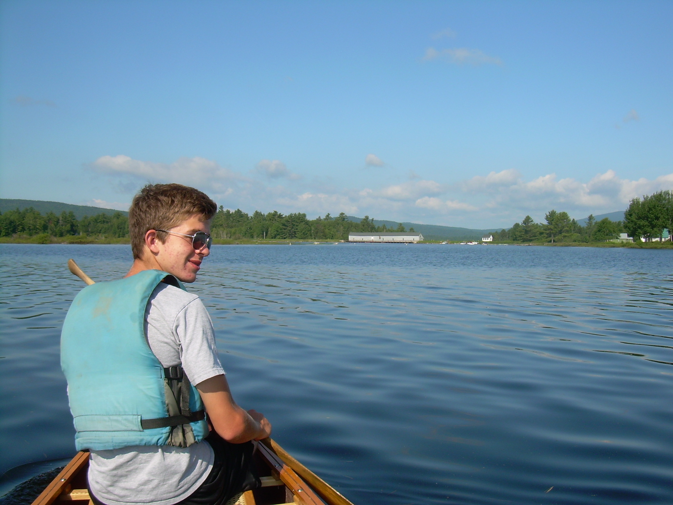
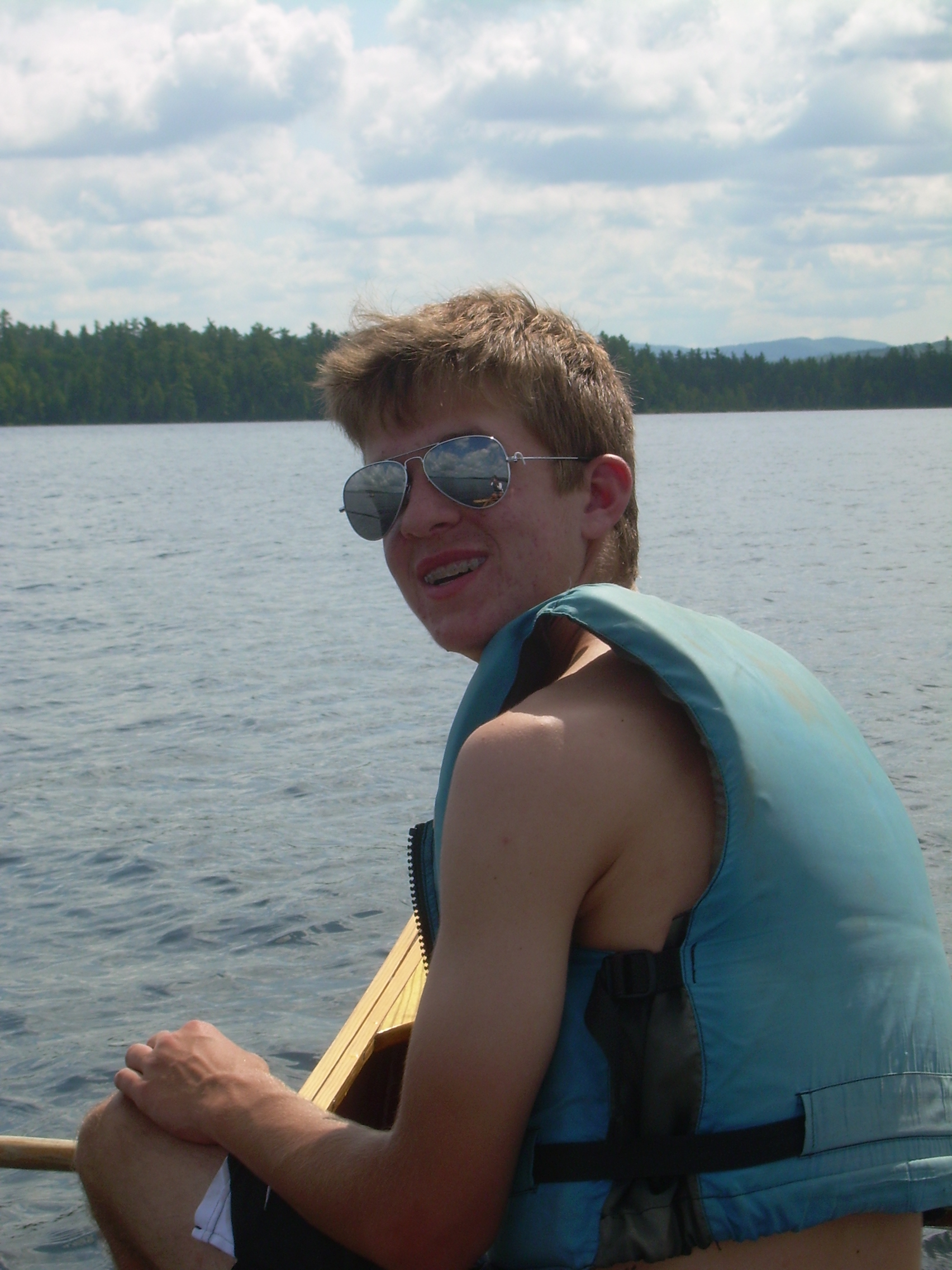
| Robin |
Lunch |
Connor & Carl |
Tina |
John W. & Ted S. |
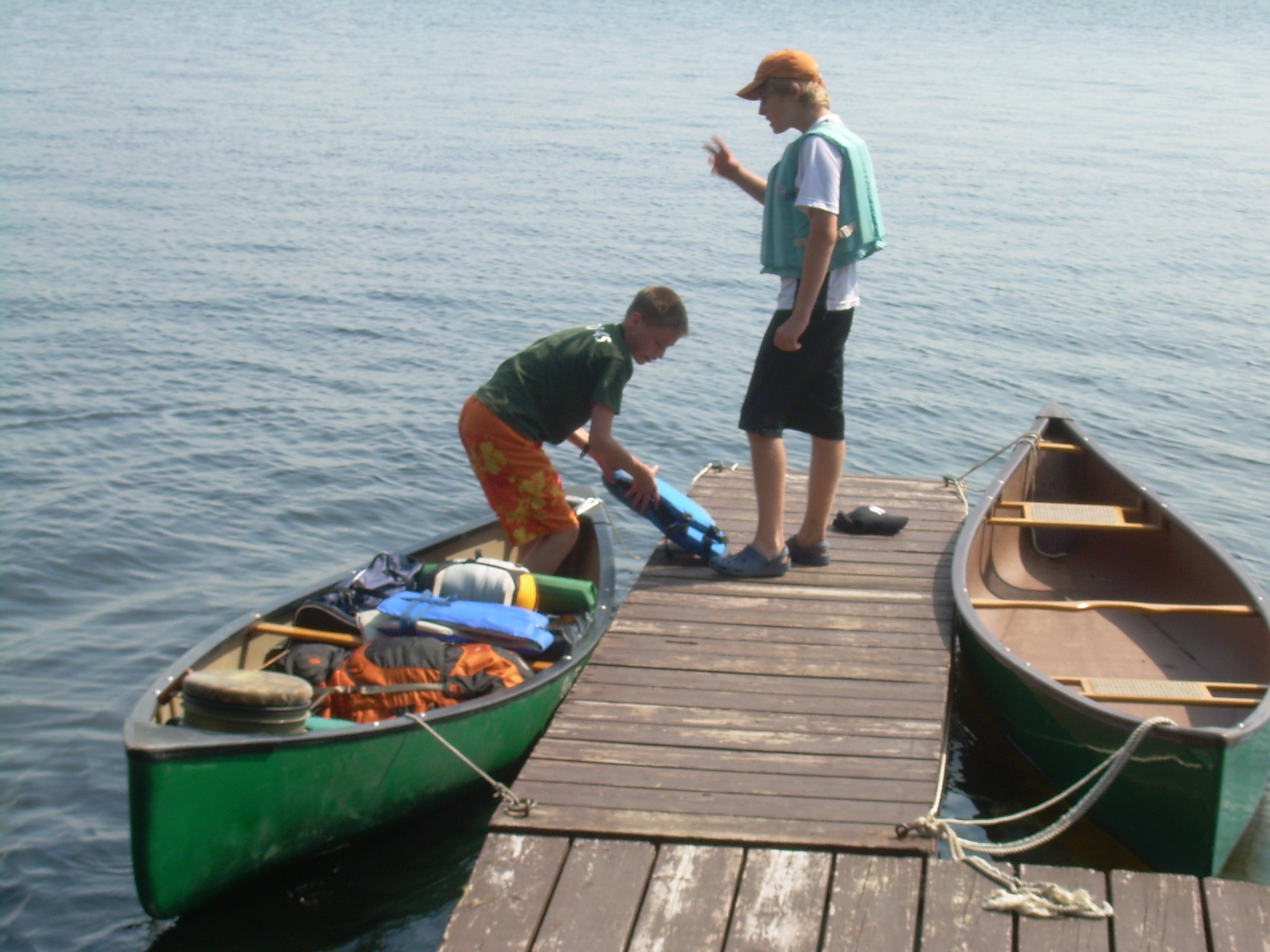
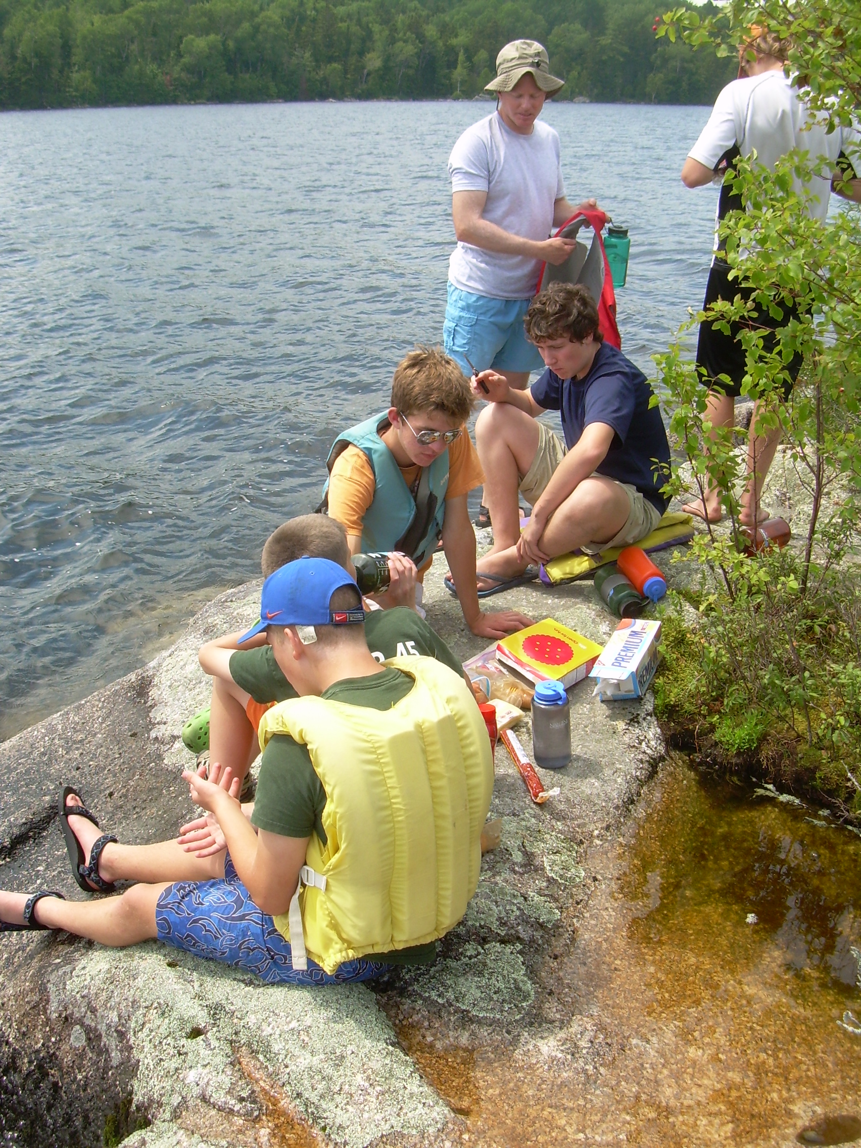
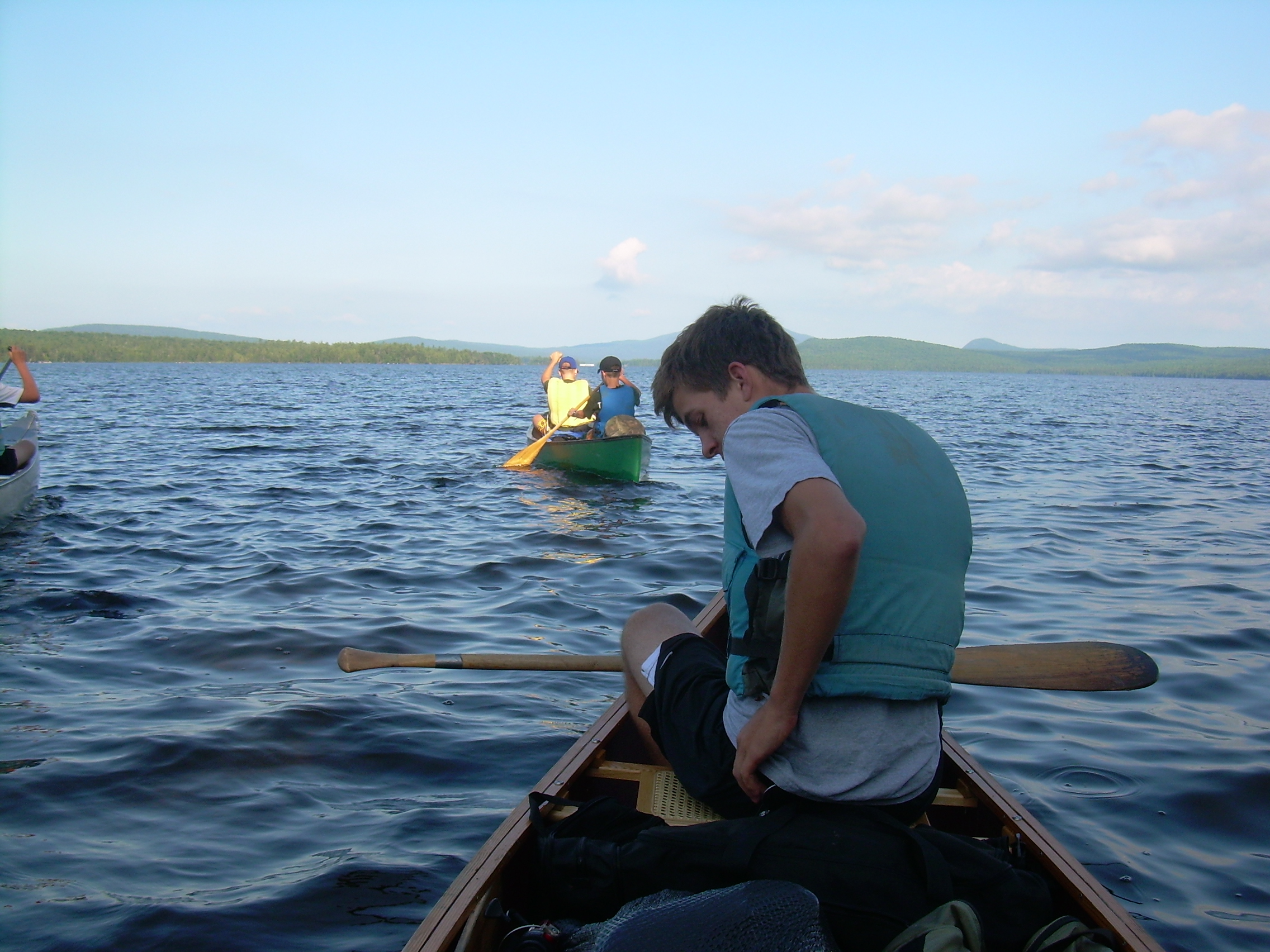
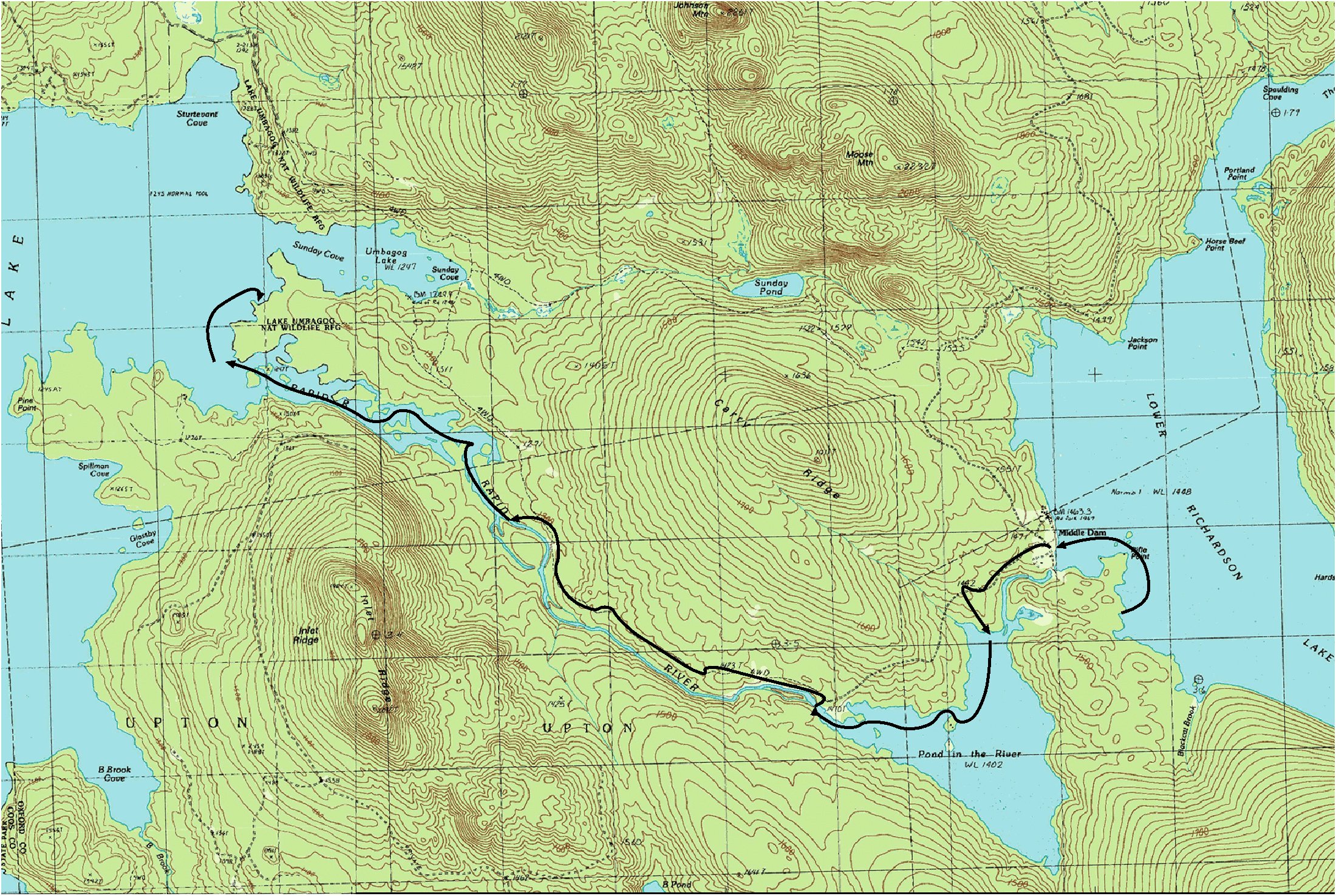
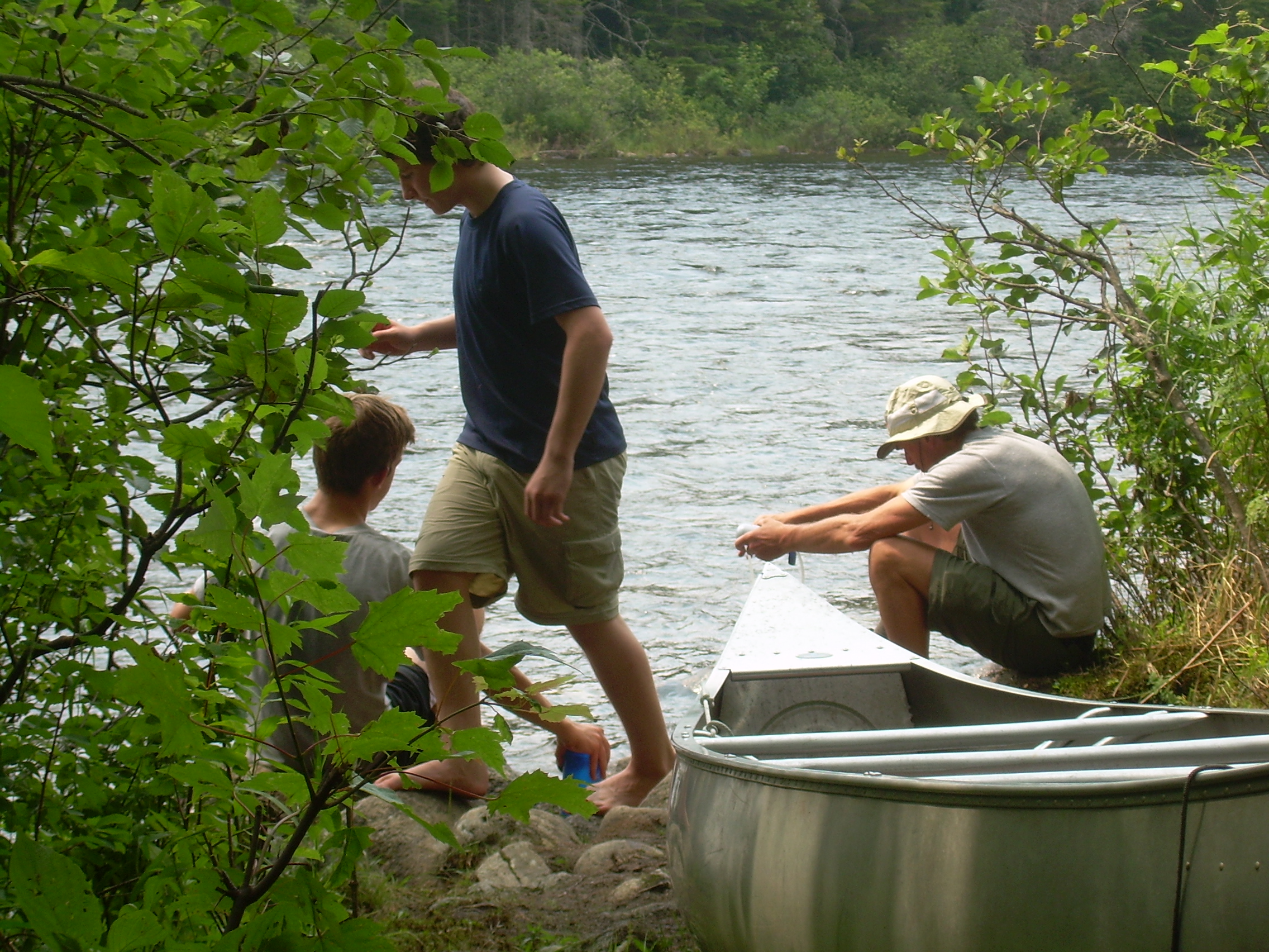
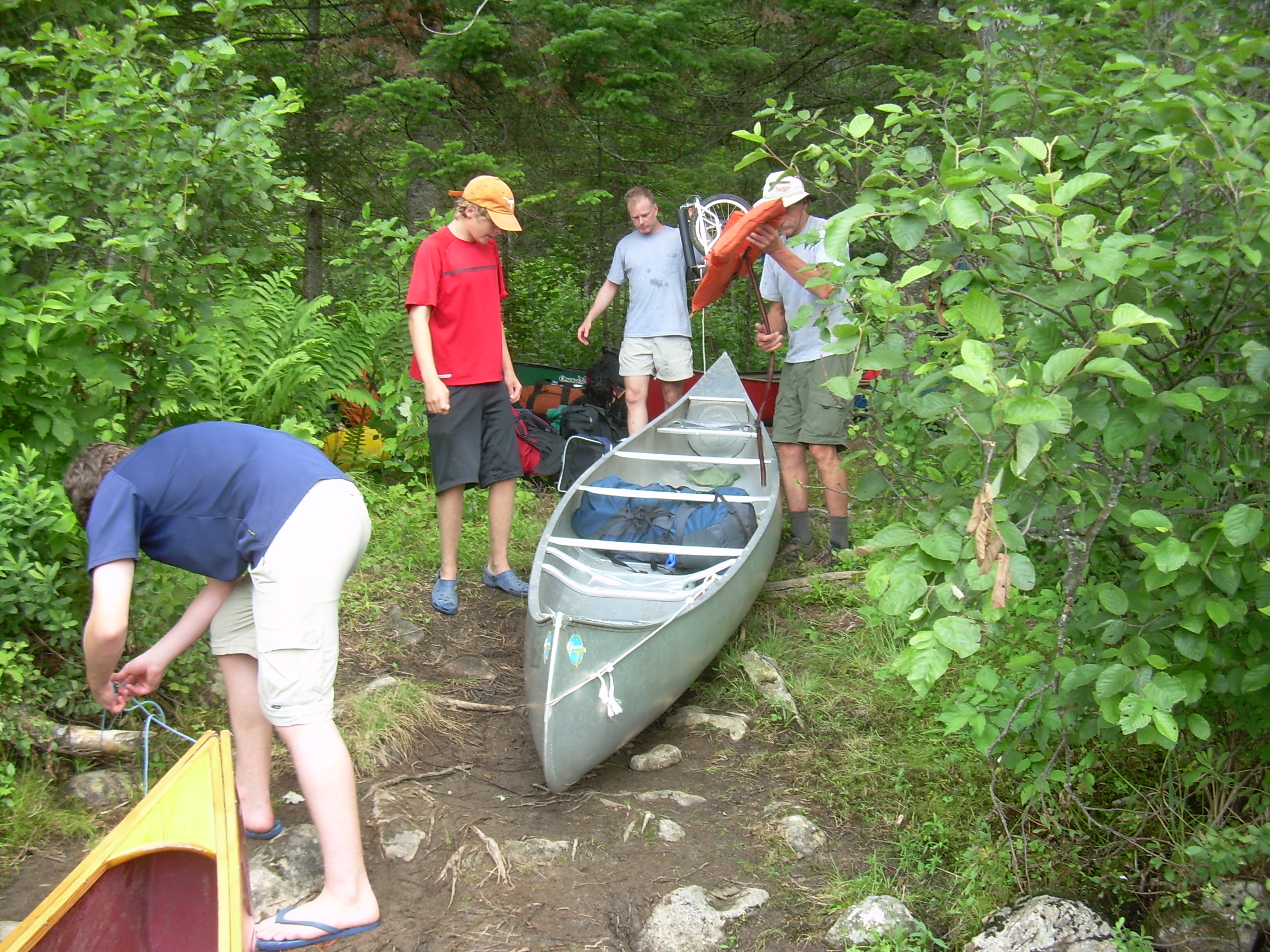
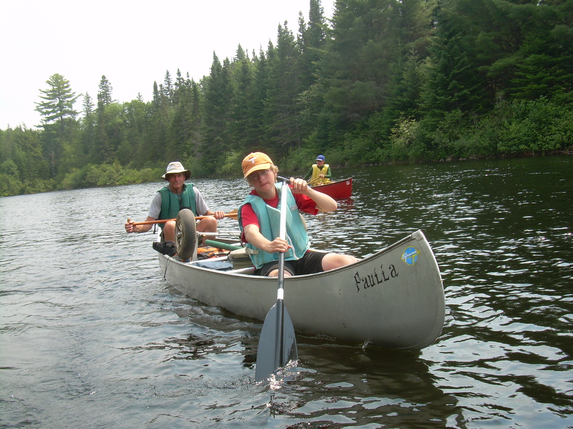
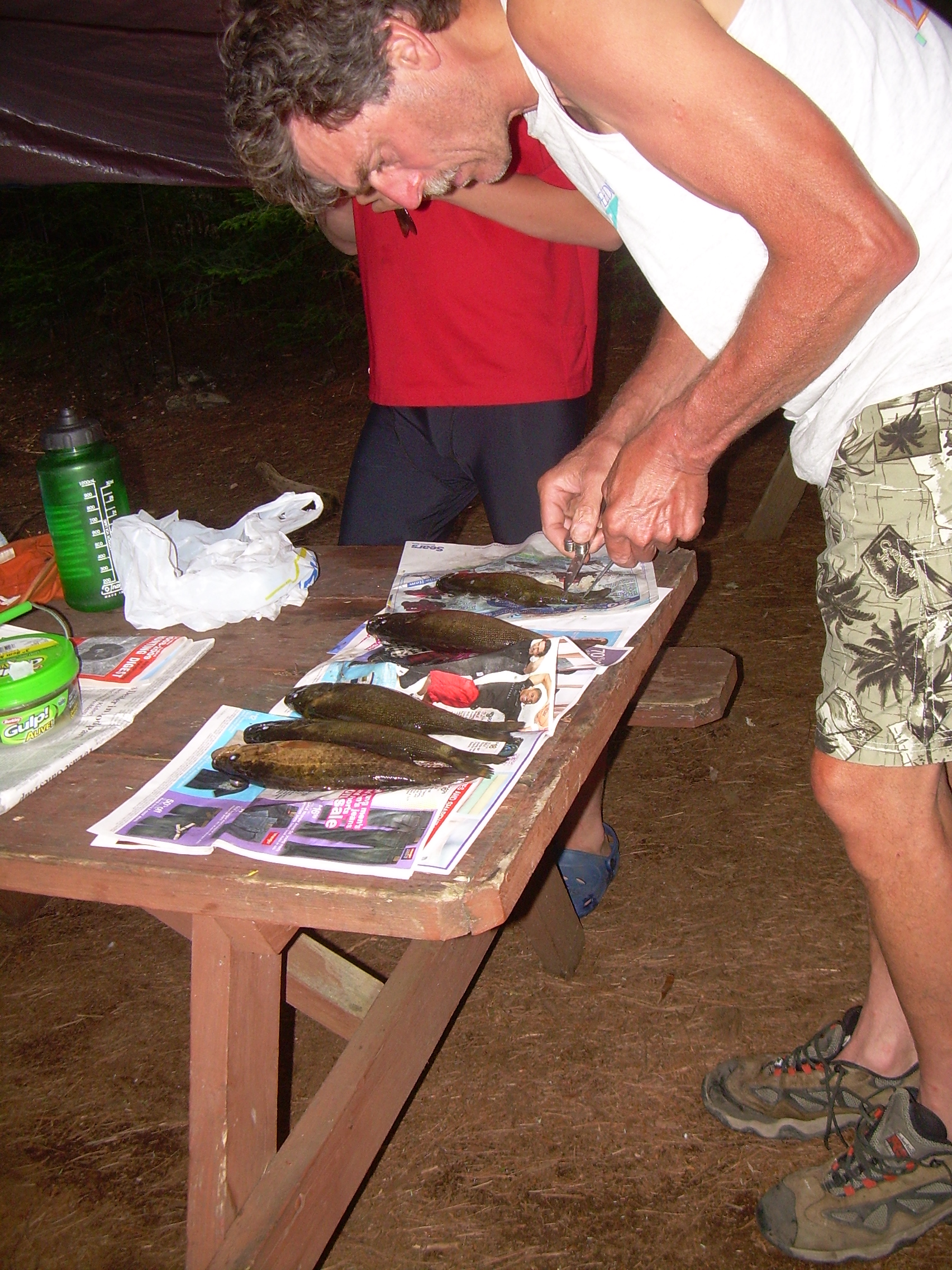
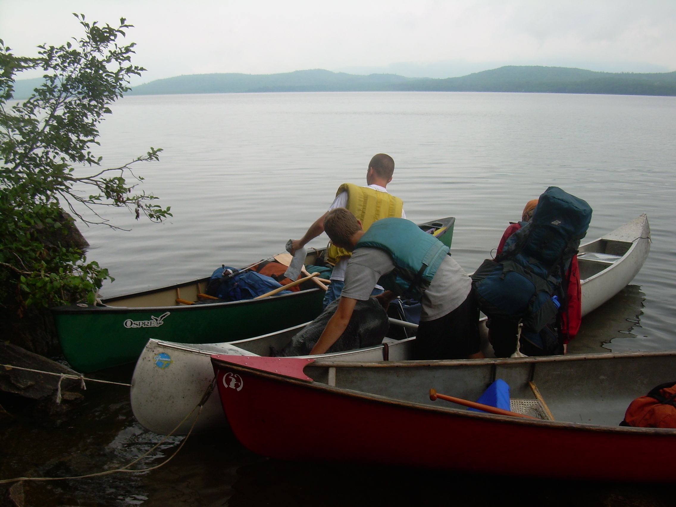
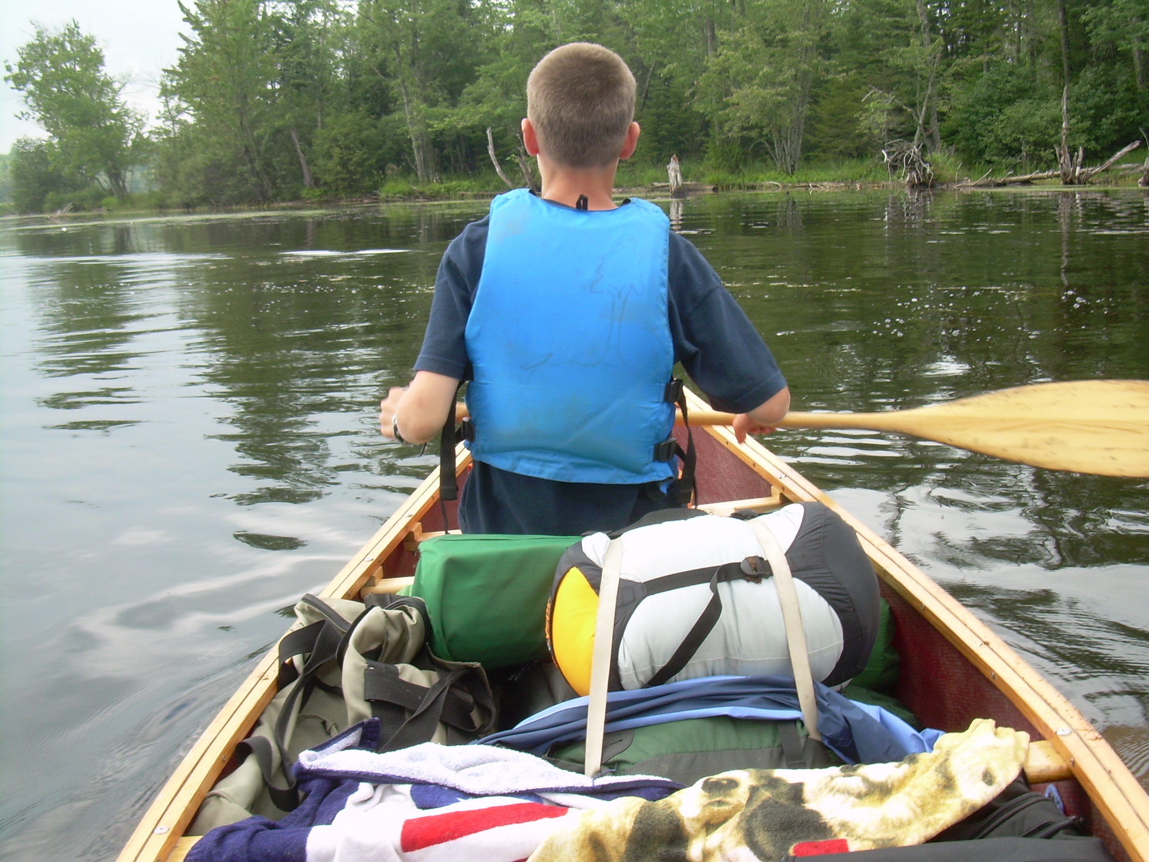
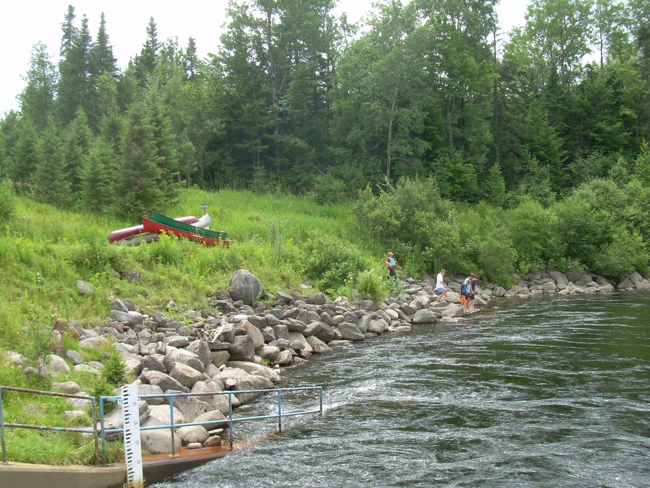
Once we are 100 meters off shore, and have escaped our ravenous host, we let ourselves drift and had breakfast-bars for breakfast. The lake is flat and calm this morning. In my original vision of this trip today was slatted as the "hard day", because we have over three miles of portages. But the crew has proved to be strong, and the portage wheels are working well. Today Connor is my canoe partner. It is a short trip around the peninsula to our landing near Middle Dam. We have fallen into some regularity with a portage and the canoes are quickly unloaded and stacked on their wheels and off we go. The carry road is a very passable, a jeep road, and we progress easily. After two-thirds of a mile we take a left to go down to the water. The road continues and we will rejoin it later, but by going left we can paddle for over a mile. Just as we approach Pond-in-the-River the wheels under the two heaviest canoes sink in the mud and the whole load lurches forward and twist the rails above the wheel which support the load. It looks bad. The rails are made of plywood which is now cracked in several places, and the aluminum brackets which hold them to the frame are bent. We are 5 meters from the pond. So for the moment we unload the carriers and launch ourselves. Pond-in-the-River is pleasant, but we soon find ourselves at it's outflow. This is where Lower Dam use to be. It has now been removed, still piles of boulders mark its location. It is only about 10:30 and we decide for an extended break before venturing on our longest portage. We swim in the river and I walked half a mile down the road to see how it looks. It all seems so simple - if we have wheels. When I returned Ted Simpson was cutting an ash sapling into pieces which we lashed onto the damaged wheels. He is confident that they will hold up. John Wallace is a bit uncertain about if his wheels can carry the load over a rough and bouncing road so we will portage one canoe, the lightest, on our shoulders. We also take time for a second breakfast. A few minutes with a JetBoil and we have hot oatmeal. So we start our long portage. I take the green canoe, the smallest and lightest on my shoulders, and Robin walks with me. We switch every 200 or 300 meters. Later Robin and Connor switch. The rest of the crew is guiding the wheeled carriers through the woods. We pass through a small community of three or four houses tucked along the side of the carry road, half way between Umbagog and Richardson. Small neat houses with well kept gardens and barefoot kids hopping around. It must be a curious life deep in the woods of Maine. About halfway along the portage my red canoe slips off the wheels after a large rock in the road catches the wheel's axle. So Fritz, Robin, Connor and I take these two canoes on our shoulders. Since we have left the rest of the gear in the wheeled canoes this works well and we move quickly - quicker walking then wheeling. Of the four of us one person is load-less and so we rotate every 200 meters. We stopped, leaving the canoes on the road, and walked down to see "Cold Springs Pool", a short section of flat water between class IV rapids. Clearly we could not have canoed this river. Back on the road we come to the turnoff for Cedar Stump Camp. We need to carry everything the last half mile, a root and rocked filled trail. But with the promise of lunch at the end and many willing hands we navigate this in half and hour and have finished our major portage at 1:20. We eat lunch next to the Rapid River. Cheese, pepperoni, peanut butter, pita and dried fruit. Beyond here the river is navigable as it winds through marshlands and joins Lake Umbagog. There is still a bit of a current in the river, which is a real pleasure after so much flat water paddling. But the river looses its momentum and determination and becomes a wide a lazy steam as it flows into the lake. Finally we are on Lake Umbagog and in twenty minutes we are at our campsite. It is a pleasant lakeside site with a deep bed of pine duff to sleep on -- and no mosquitoes. We set up our camp including a number of tarps because it looks like it might rain tonight. The scouts then took the canoes out to fish. For dinner we had "Chicken a la Oli" (rice-a-roni And canned chicken), and fresh bass. I think Ted is tickled to here this dish named after his son. It is a good thing we put the tarp up over the picnic table - because shortly after dinner it started raining. But the card game could still go on. Still it has been a long day and people headed to bed as the daylight faded. I wrote until now (9:00). It is too early for me to sleep so I'll read Thoreau's Maine Journal for awhile. Sometimes his descriptions of the lakes, ponds and forest seems to be about the same as today. But the camping techniques have radically evolved over the last century and a half. The rain is making a gentle patter upon the tarp.
|
|
| Ted S. & tackel |
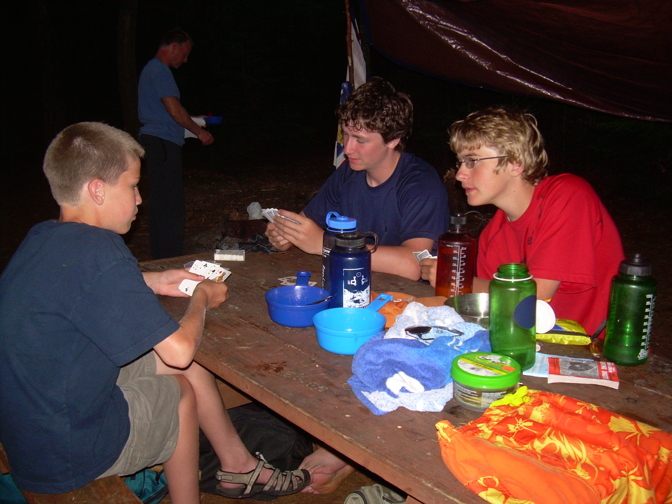
Carl, Connor, Seth & cards |
Canoes ready for the night |
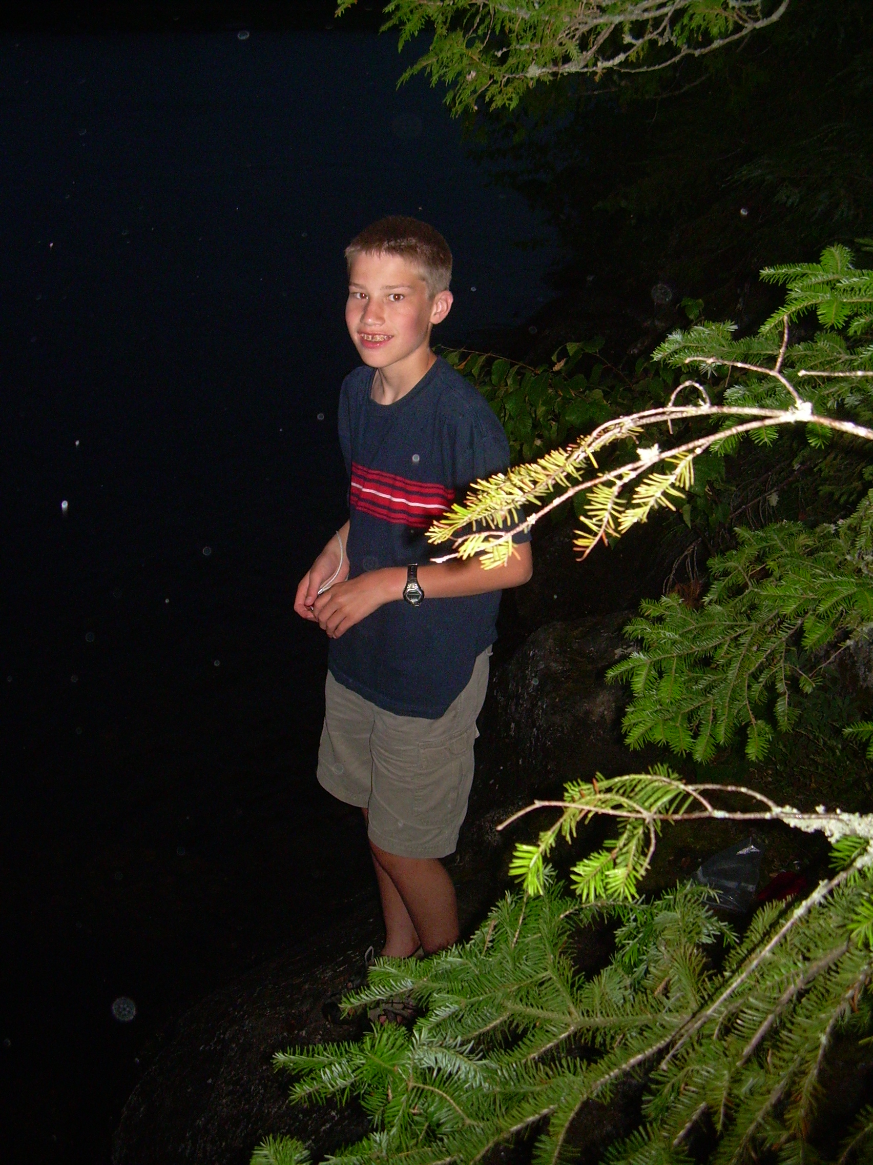
Carl |
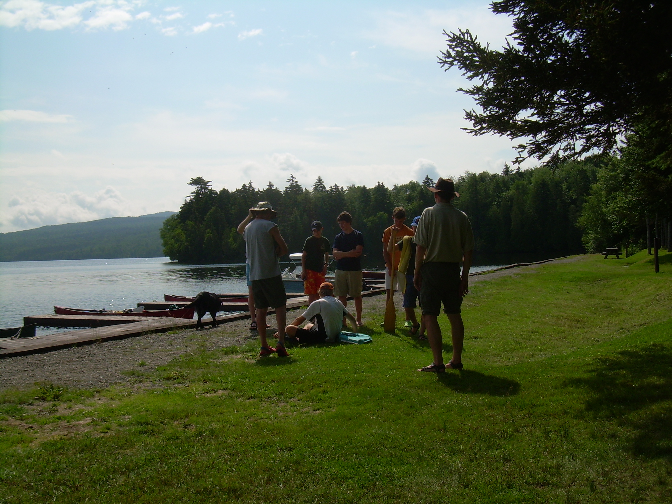
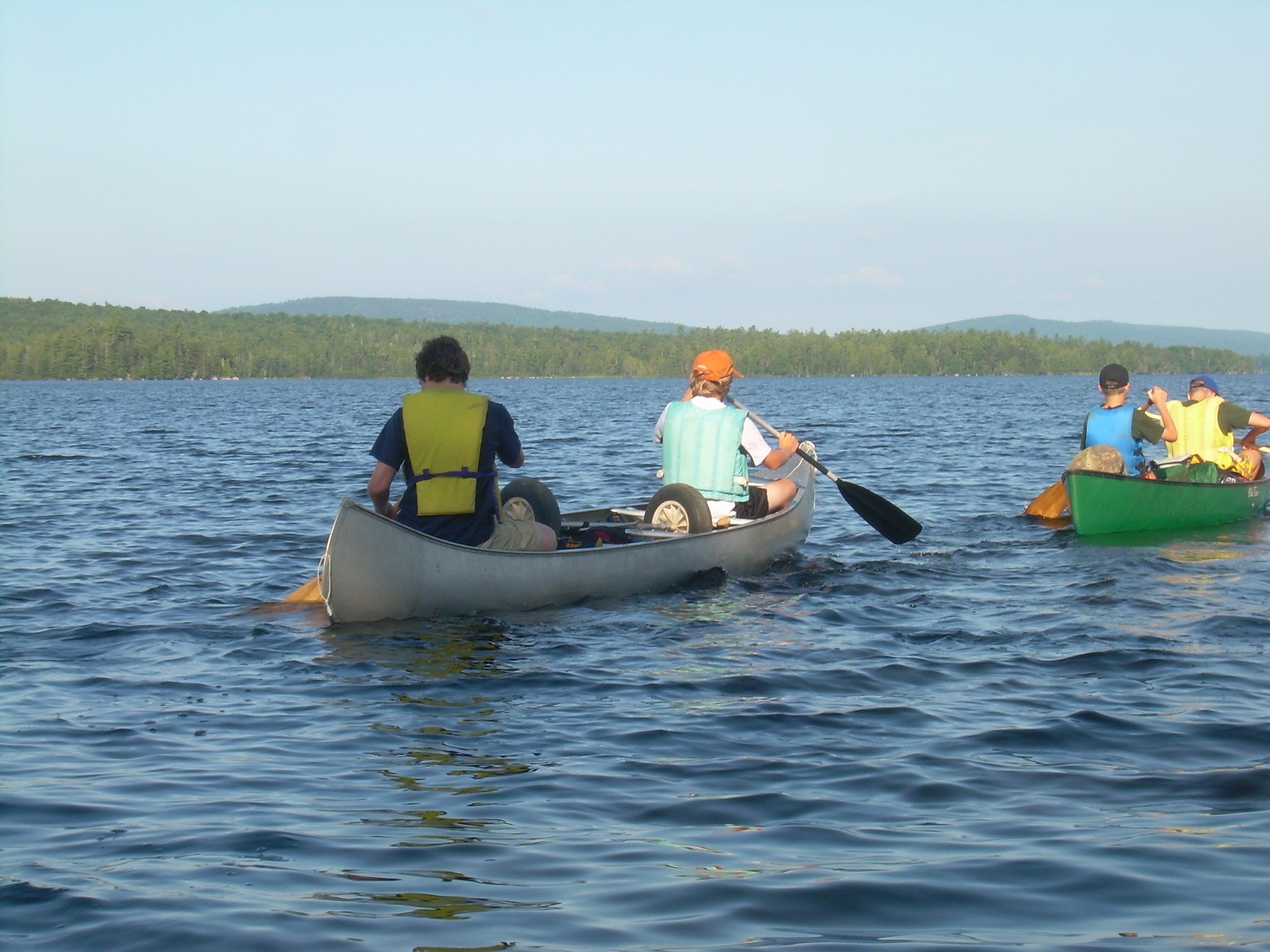
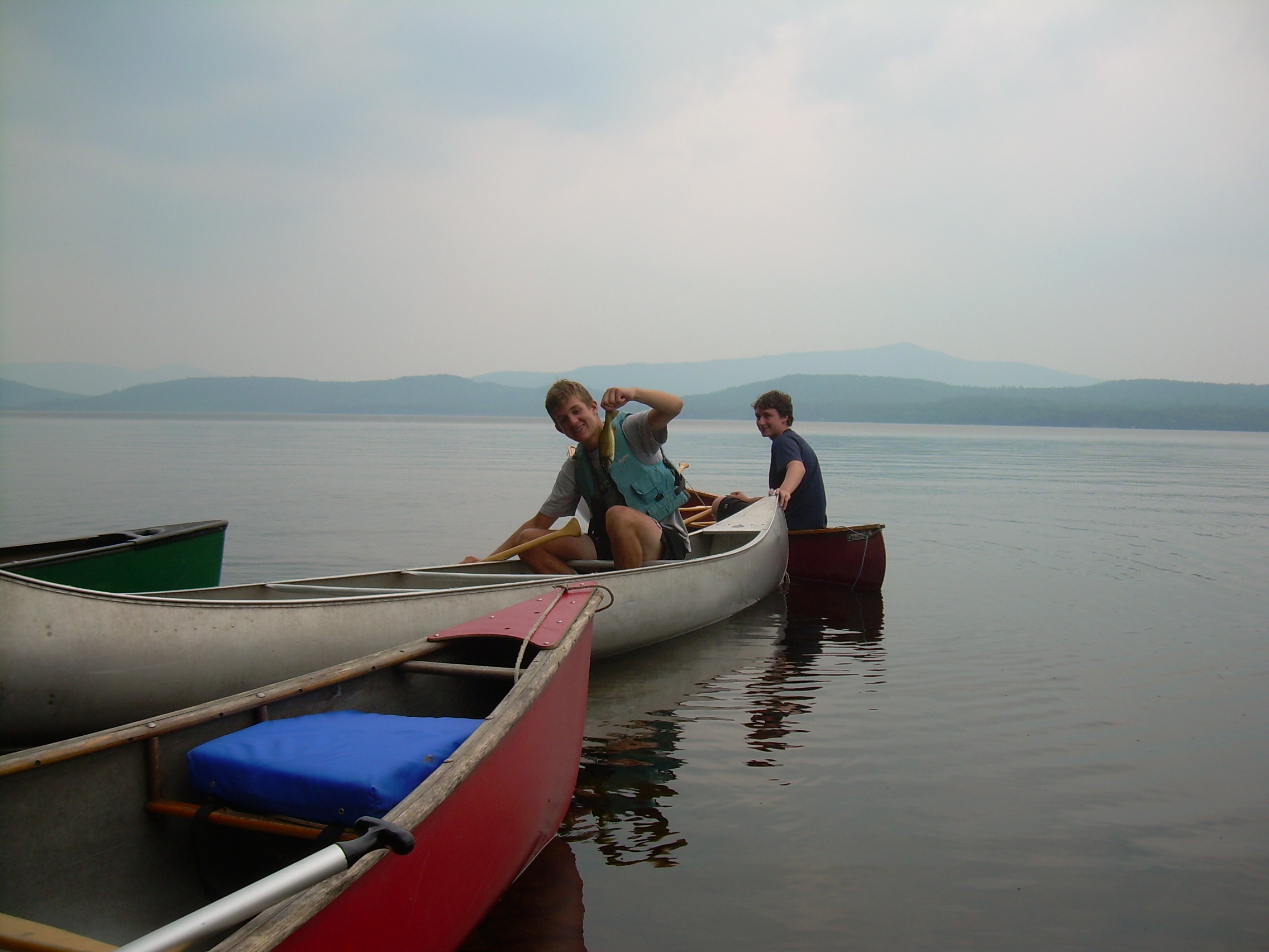
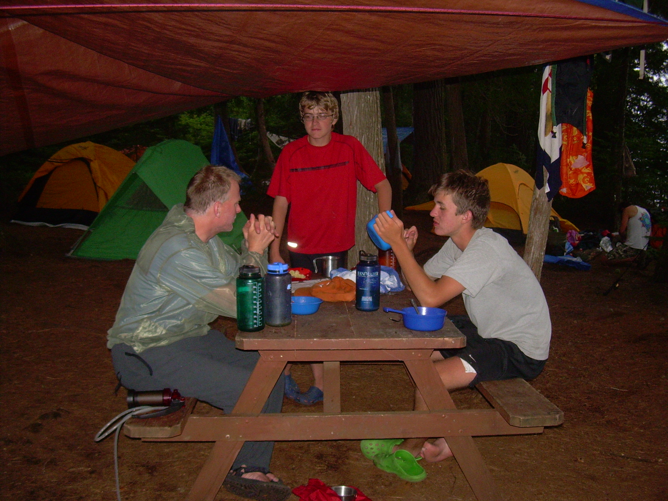
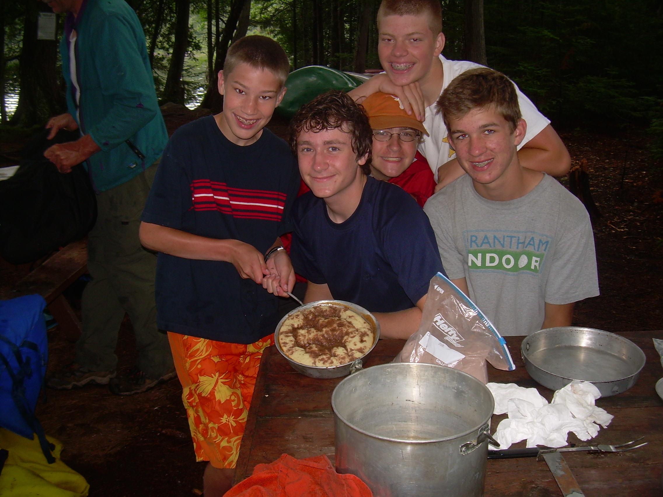
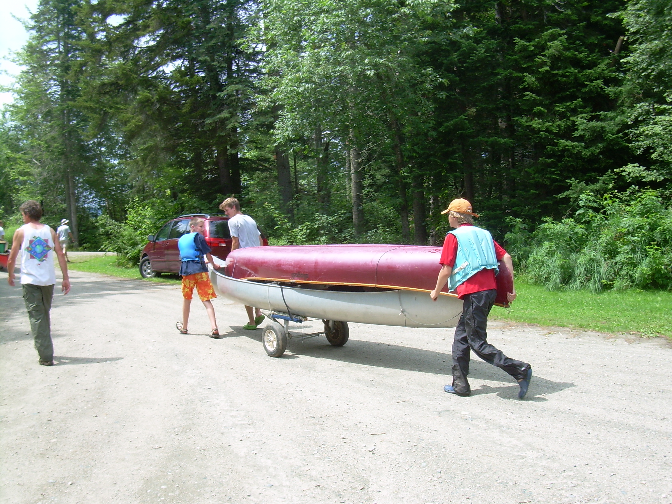
For breakfast Connor made us a "Breakfast Cake", a coffee cake he baked in our largest pot, sitting on a stove. It took awhile to bake all the way through - but it was worth the wait! We launched at about 8:30 and headed southwest along the shore of the lake to Pine Point. We had been told way back at our first portage on Monday that there was an Eagle's nest here with some fledglings who were just learning to fly. Eventually we found them and drifted around the point watching a fledgling awkwardly swoop from tree to tree. The fledgling doesn't have the characteristic white head of the mature bald eagle, but still is a very big bird. We now continued west, out across Umbagog. On the far side is a maze of islands and channels. Ted Simpson has often been here duck hunting, so he took us to some islands and then on a serpentine route through the labyrinth. Up a bit of the Magalloway River, through a marsh and back down into the Androscoggin. On the Androscoggin we meet a youth group out on a day trip. They were younger then our group - and a lot more awkward in the canoes. Compared to them we looked downright professional. Finally, as we approached the dam at Errol, we landed and had lunch. We cached most of our gear in the bushes next to the public boat ramp and portaged the nearly empty canoes around the dam. From here it is only a half mile down the river to the Errol Rapids. They are Class III rapids, so we tied up and scouted them out before running them. We also saw a kayak launch ramp. Kayakers were having fun in these rapids. We were advised to come down to the left of "Pancake Rock" and then cut right under the bridge to avoid "Fluffy", and large standing wave. Carl and I were doing well until making our right-hand cut. I think we were too aggressive and got a bit turned, and so were rolled just as we passed under the bridge. We hung on to the canoe and floated through the rest of the rapids. I felt the canoe hit some rocks in a shallow section, and later when we pulled the canoe out I could see where the side had been creased. Connor and Robin also rolled their canoe and we lost one paddle, but everyone came out smiling. I ran back to where we had cached our stuff and brought back the duct tape. My canoe is not leaking, but another bad bump might rip that crease. I think a real fix can be done at home. While I fetched tape all the scout took a second run down the rapids. It was about three miles from here to our campsite at Mollidgewock. The current is with us and it is an easy hour. Once at Mollidgewock we checked in and I retrieved my car. I drove back to the boat ramp above the Errol dam and collected all of our gear, all seventeen pieces of it. It was a bit of a jig saw puzzle to fit them all in the car. Back at Mollidgewock we set up tents, and stored gear inside. Then Ted, John and I drove back to Rangeley to get the two other vehicles. On our way there Ted asked us to stop at the Wentworth Location General Store to pick up some pies which Ted had secretly ordered on Sunday. Ted had been here before many times and knew that there was a woman who worked here who picked berries and made pies. Today, however, the owner apologized that the apple pie and the raspberry pie had been burnt beyond recognition - the berry-pie lady had just had all her teeth out and couldn't concentrate. A blueberry pie had, however, survived. At Rangeley we saw Etta again, collected the van and truck and soon all re-converged at Mollidgewock. The scouts had made dinner while we were gone. Chili and cornbread. The cornbread was suppose to cook on top of the chili like a dumpling. But when the chili started to burn it needed a quick stir to save it, and the cornbread batter was mixed into the chili. Actually it tasted just fine. We were also hungry enough to eat anything. That night Seth organized a campfire program, part of his communications merit badge, and we had a number of stories around the campfire. Ted also broke out his secret blueberry pie which we all enjoyed. The boys turned in at 10:00. Ted, John and I sat up until 11:00. I wrote in my journal until now (11:40). The last day of this trip will soon be upon us - I better get some sleep.
|
|
| Connor & Fritz |
Robin & Seth |
Carl |
Portaging around Errol Dam |
| Portaging around Errol Dam |
Putting in below Errol Dam |
Errol Rapids |
A Kayak ramp |
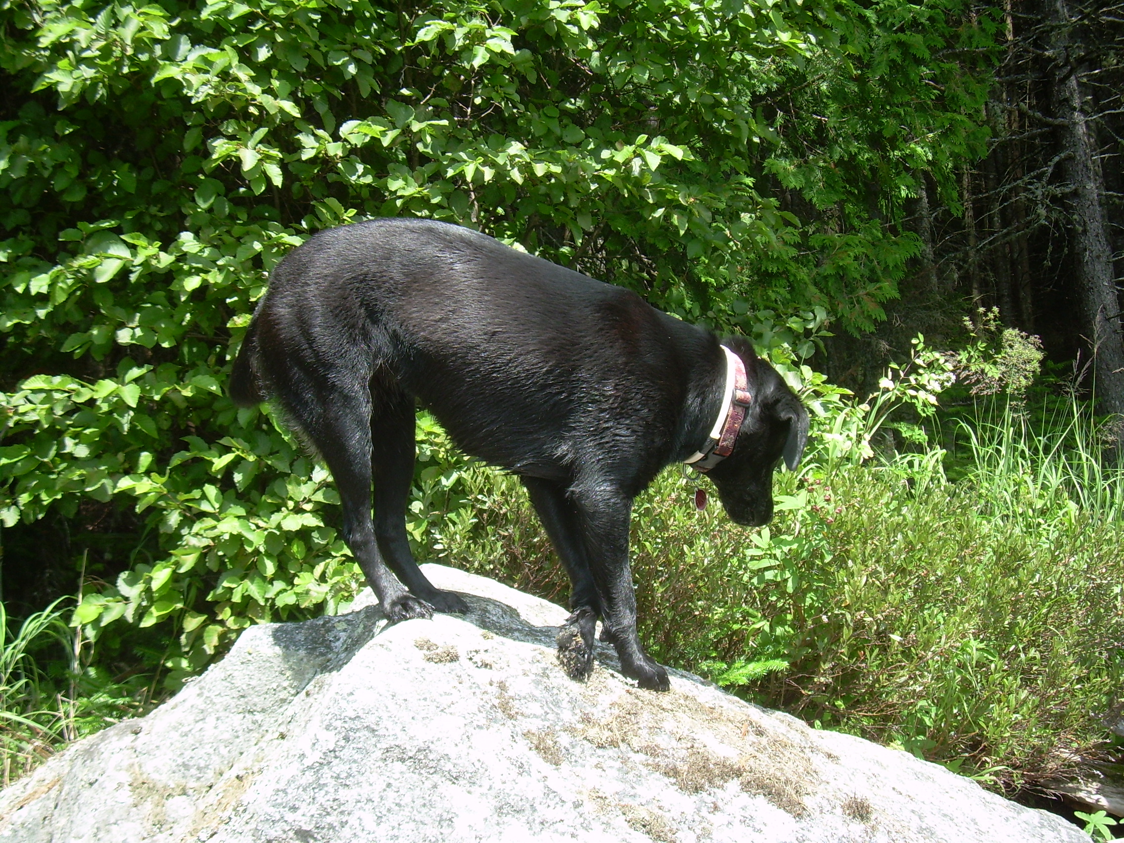
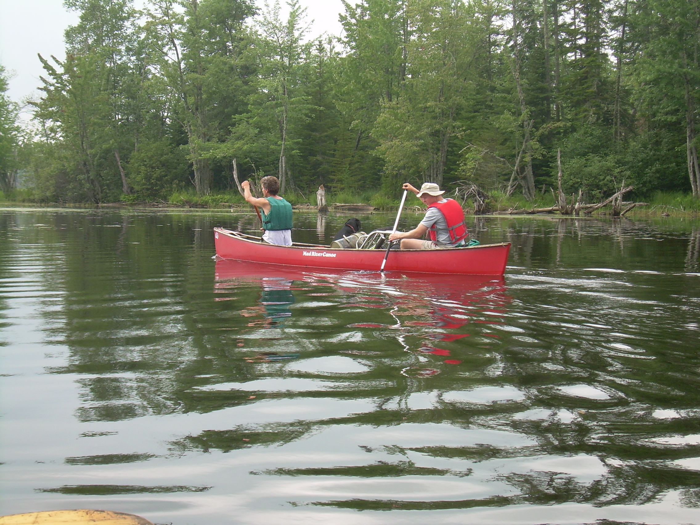
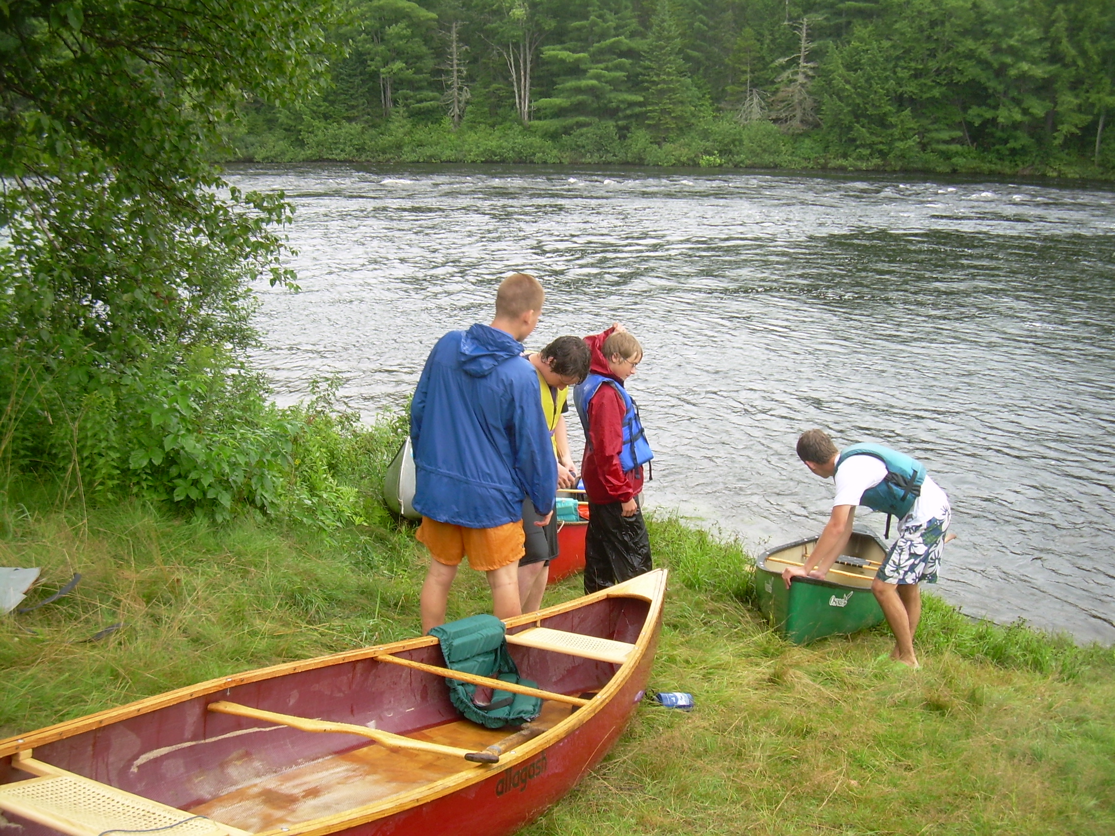
I heard a bit of noise from the other tents and soon I saw Tina out nosing about the campsite. So I got up at 6:30 and soon the whole crew is on the rise. Before breakfast I walked to the other end of the campsite to look at the rapids. Some class II, but nothing serious. I'll admit that I am a bit cautious after yesterday, and with my canoe patched with duct tape. But I don't see any real problems. Breakfast is a repeat of our first one. Eggs, bacon, bagels and oatmeal. Everyone pitches in to cook, eat and clean-up. We really are forming into an efficient crew which works well together. We are packed by 8:00. Today we need to only travel about five miles to finish our "fifty-mile" patch. But we also have the option of going farther. However, it is now starting to drizzle and according to the map there is a good take-out about five miles down stream after some good rapids. After that it is flat water for a ways. So Ted and John drive down and leave Ted's truck by the take-out spot. While they are gone I work with the crew to finish the canoe merit badge. They need to show that they can handle a capsized canoe, even though some of us did this yesterday after the Errol Rapids. This also involves a lot of swimming and being wet, but the day is already filled with a warm rain and everyone seems to enjoy the extra time in the river. My favorite exercise is to dump the water out of a canoe by rolling it onto a rescue canoe. By the time we finish John and Ted are back, and we are soon headed down the last few miles. Just below the campsite we hit a number of class II and I rapids. There really are fun! We shoot rapid after rapid. Shoot a rapid, regroup, paddle a half mile of flat waters, then shoot another rapid. The sky settles down to a constant drizzle. This is a good day to finish a canoe trip. I remember talking with Ted Anderson and Rudy Benda many years ago (1978?) and saying that all trips should have perfect weather until the last day, when rain or other poor weather will help you say good-bye, "adieu", to your travels. And thus it is with this expedition. We ran one final intense rapids under the "Brown Company Bridge", and then pulled into an eddy next to Ted's truck. The scouts landed the boats while we retrieved our car and van from Mollidgewock. We are packed up and headed south by 11:30. South on NH-16 then west on route 110A to Groveton. Now south on US-3 to Lincoln where we stopped for a pizza lunch. Two "Party-size" pizzas, one cheese and one pepperoni, and we are feeling a bit more civilized. Now west on US-2 to St. Johnsbury and south on I-91 to Hanover and home.
|
|
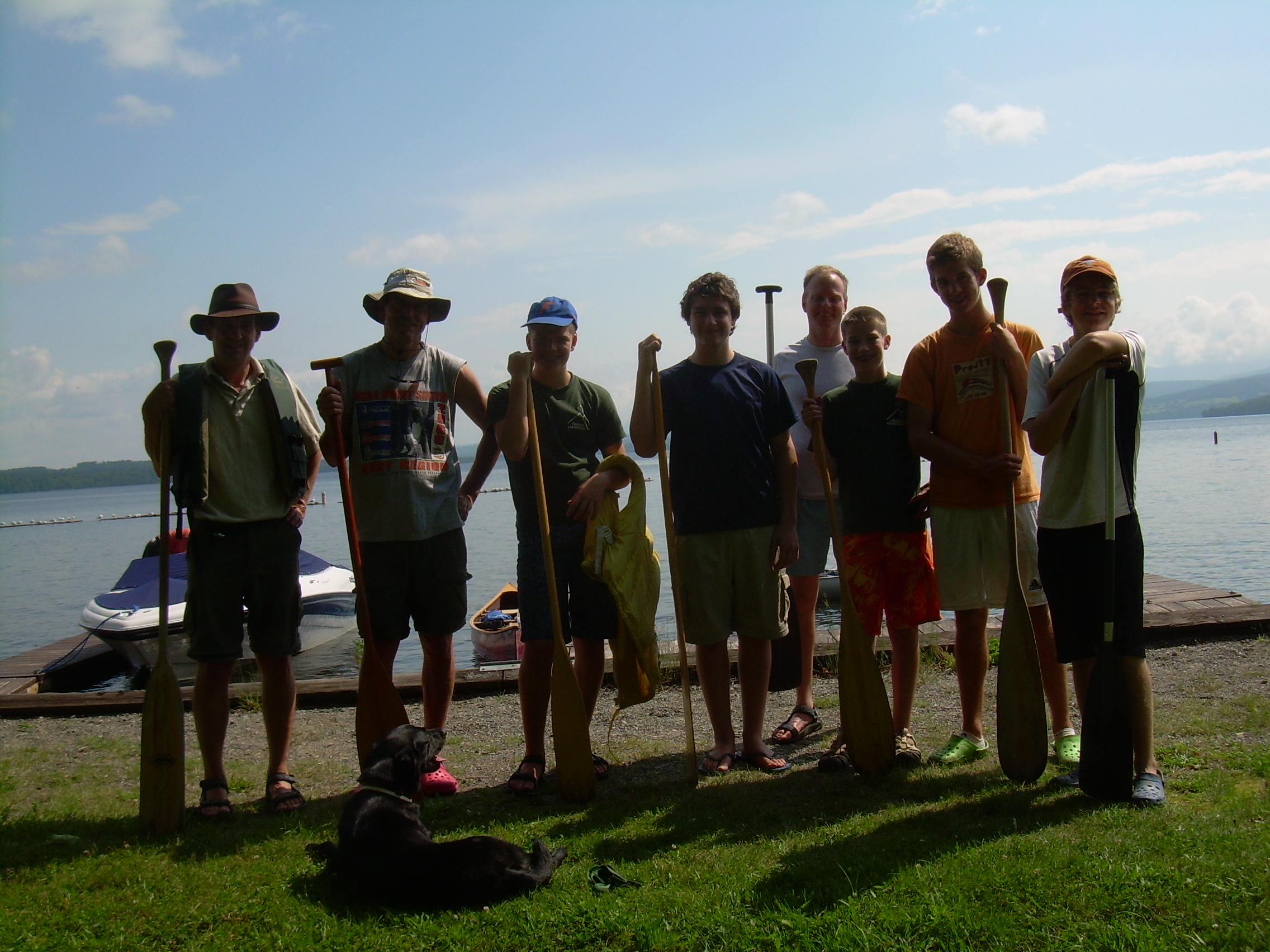
At the campfire the last night at Mollidgewock we had a "Thorns and Roses" session, where everyone list a good and bad thing from the trip. Thorns includes the mosquitoes on Lower Richardson and the headwind on Mooselookmeguntic. The Roses included the weather, the food and relatively harmonious crew.
Sometimes I think I did not make it into enough of a "scout-event". We didn't spend a great deal of time learning things beyond what was involved in the canoeing merit badge. But to me one of the most important things was to develop an "esprit de corps", and that is something which I think we did accomplish. I think of how hard it was to get us packed and on the water at Rangeley, and how easy it was by the time we reached Umbagog and Mollidgewock and I know we accomplished something. Maybe it really was a successful "scout-event". Also I am certain that we will all have fond memories of these days, these lakes and camps and rivers and that in itself means we achieved a very important goal.
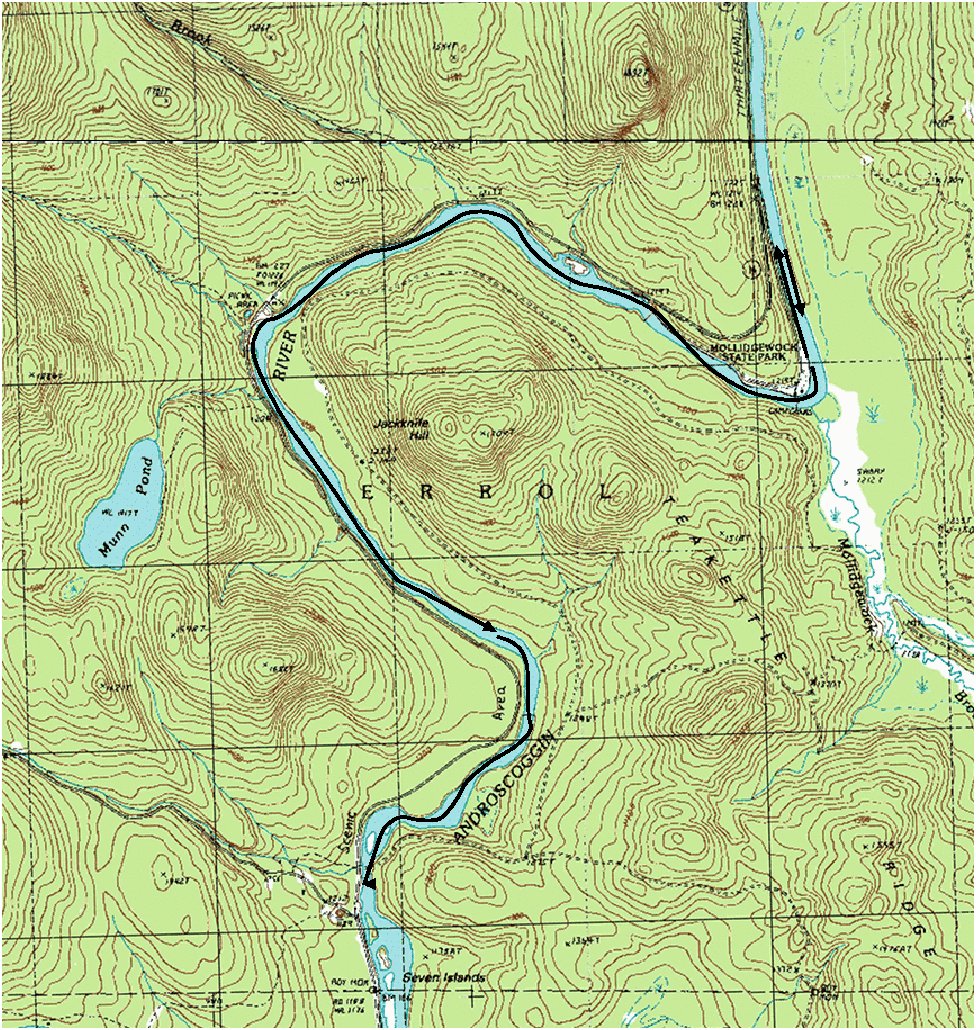
| Day 1 | Hanover - Ranegely | 0.0 |
| Day 2 | Ranegely - Toothaker | 12.6 |
| Day 3 | Toothaker - Birches | 13.1 |
| Day 4 | Birches - Umbagog | 8.5 |
| Day 5 | Umbagog - Mollidgewock | 10.8 |
| Day 6 | Mollidgewock - end | 5.5 |
| Total (miles) | 50.5 |