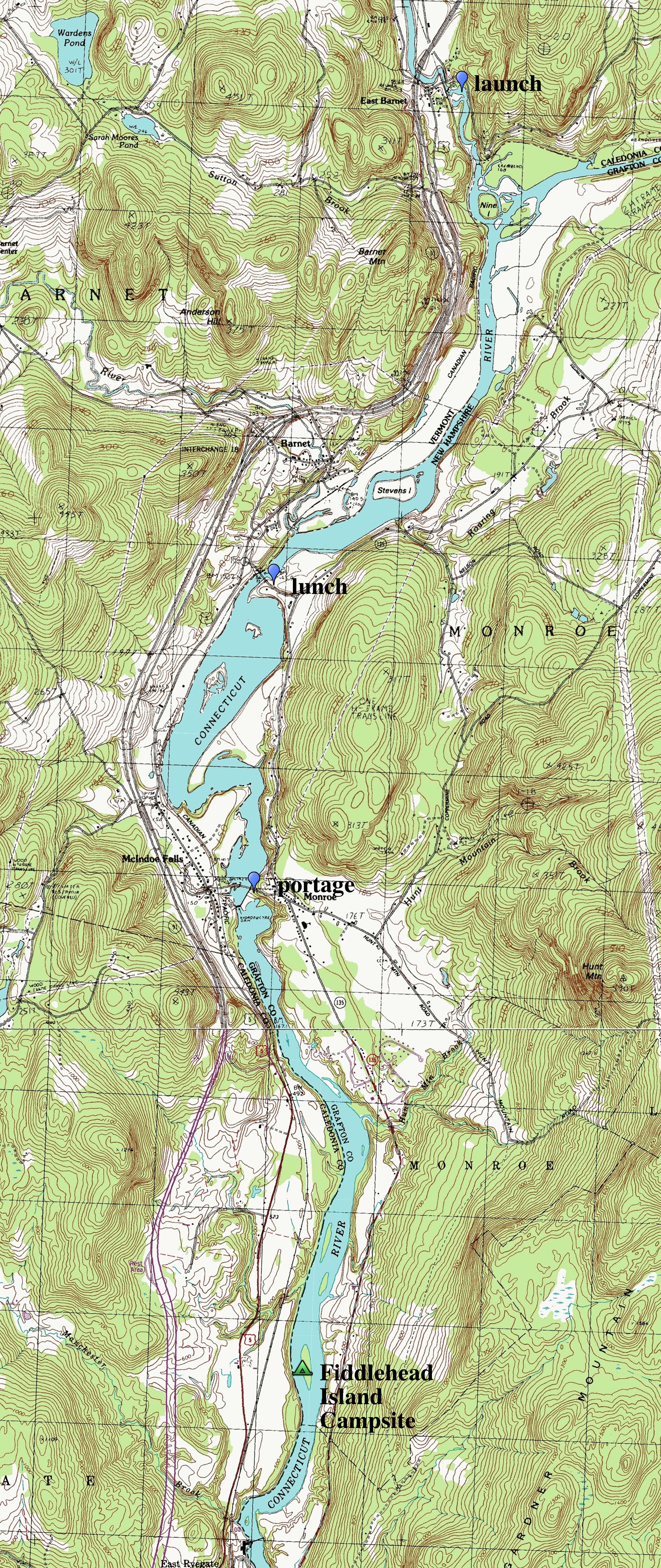
|
At one point on this trip the river narrowed and we were swept
between cliffs and rocky pillars. The
boys were reminded of a scene from the `Lord of the Rings' where
they are traveling down the great river and pass by massive
statues of ancient kings, the `Gates of Argonath'. I told
them that they should not be surprised, because a great many
pieces of literature involve boat trips. Had they not all read
the Odyssey at some point? But more then a boat trip - this was a
river trip and a downstream river trip at that. As the western
wilderness essayists Edwards Abbey wrote in `Down the River':
For twenty-three years now I've been floating rivers. Always downstream, the easy and natural way. The way Huck Fin and Jim did it, La Salle and Marquette, the mountain men, and Major Powell ...Major Powell wrote, just before boating through the Grand Canyon for the first timeEdwards Abbey
We are now ready to start on our way down the Great Unknown. Our boats. . . are chafing each other, as they are tossed by the fretful river. We have but a month's rations remaining. The flour has been resifted through the mosquito-net sieve; the spoiled bacon has been dried. . . the sugar has all melted and gone on its way down the river. We are three quarters of a mile in the depths of the earth, and the great river shrinks uinto insifnificance, as it dashes its angry waves agains the walls and cliffs, that rise to the world above; they are but puny ripples, and we are but pigmies, running up and down the sands, or lost among the boulders. We have an unknown distance yet to run; an unknown river yet to explore. What falls there are, we know not; what rocks beset the channel, we know not; what walls rise over the river, we know not.Our voyage may not be so dramatic. But it is still akin to the boat men. Through out this journal I'll introduce you to a few of these river writers.Major John Wesley Powell
|
|
| After Rapids |
At Nine Islands |
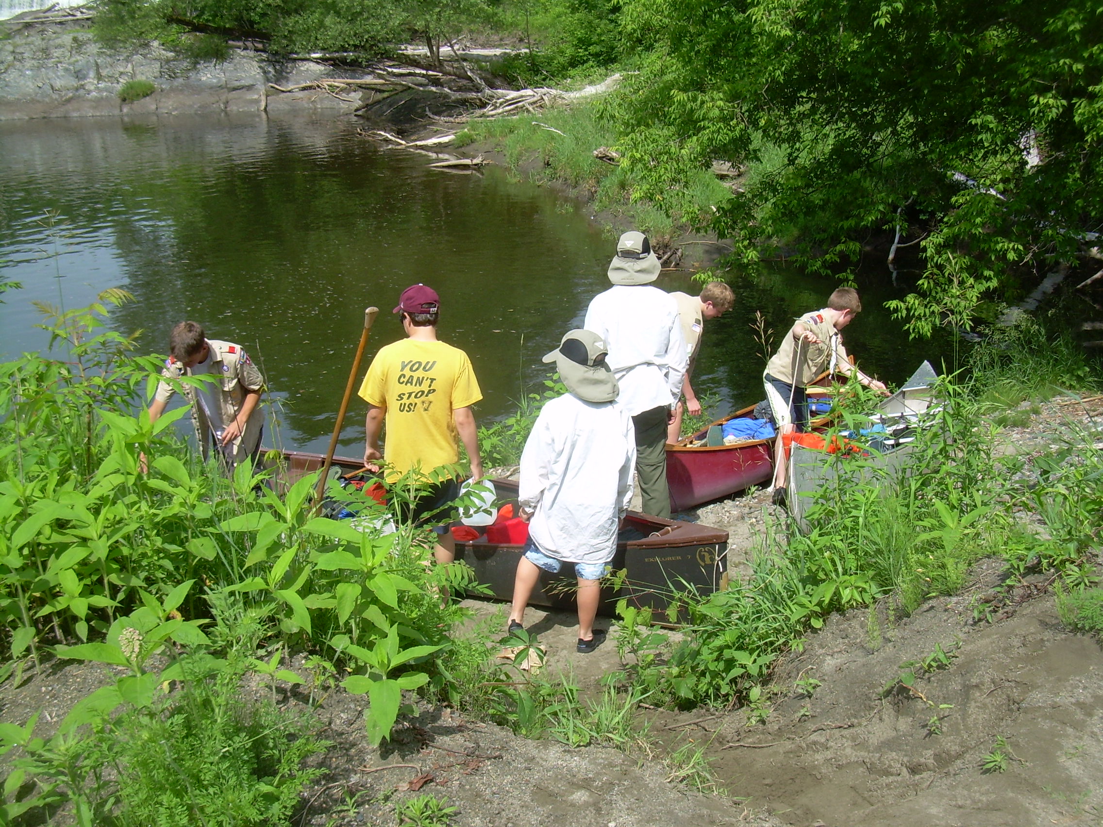
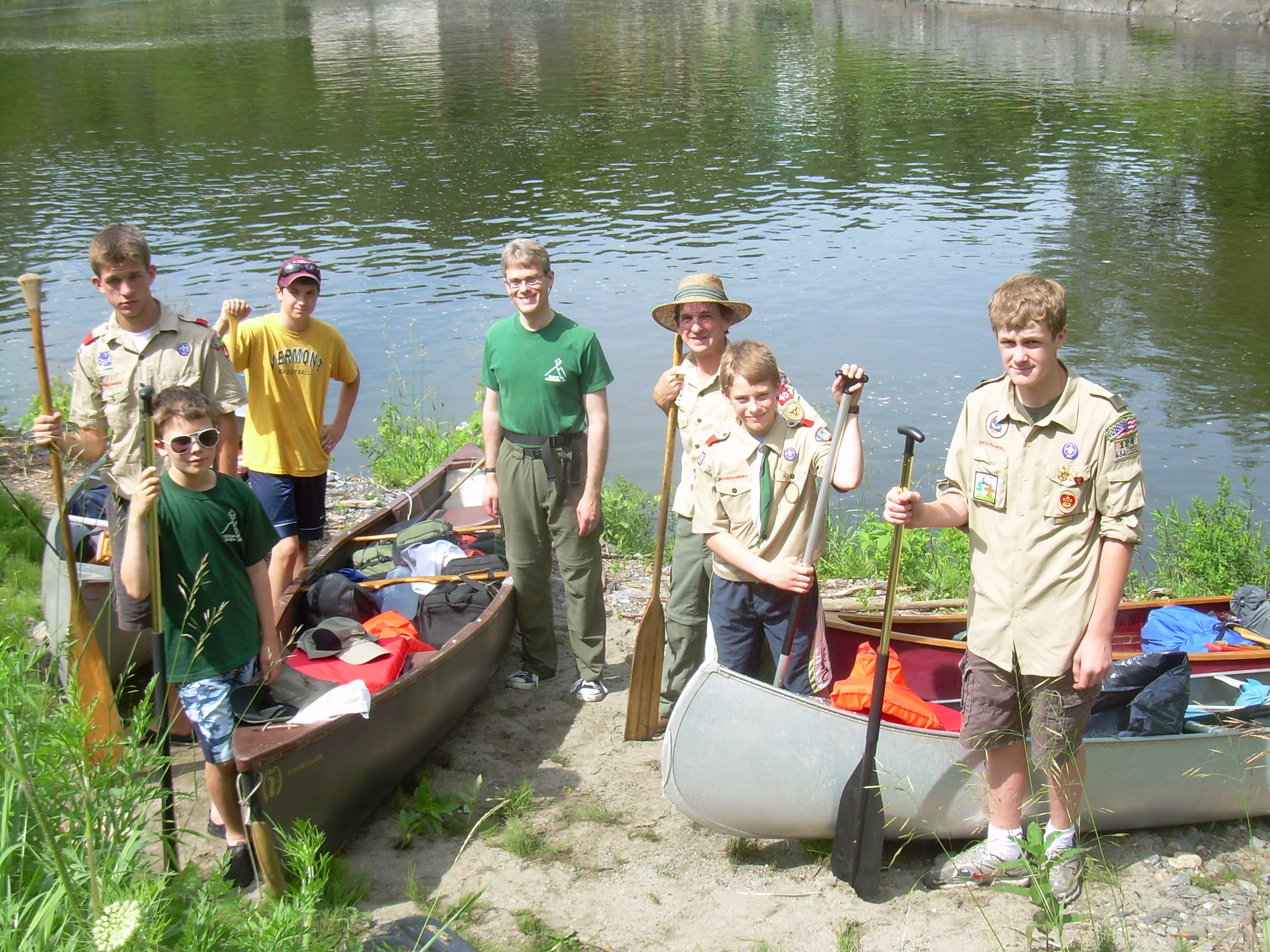
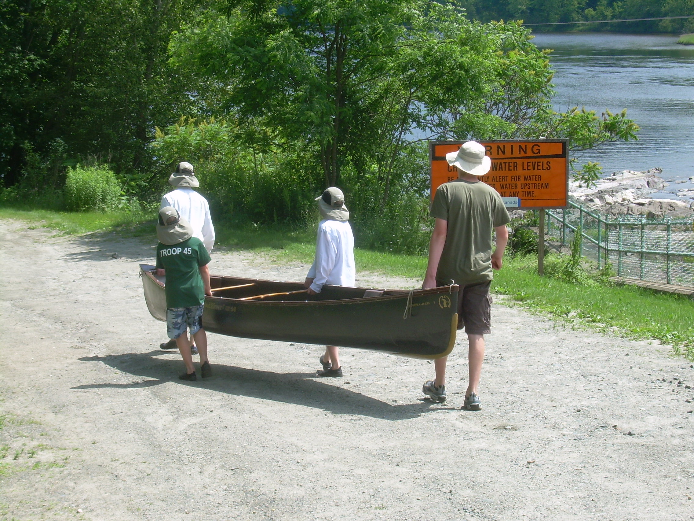
Portage at McIndoe Dam |
Portage at McIndoe Dam |
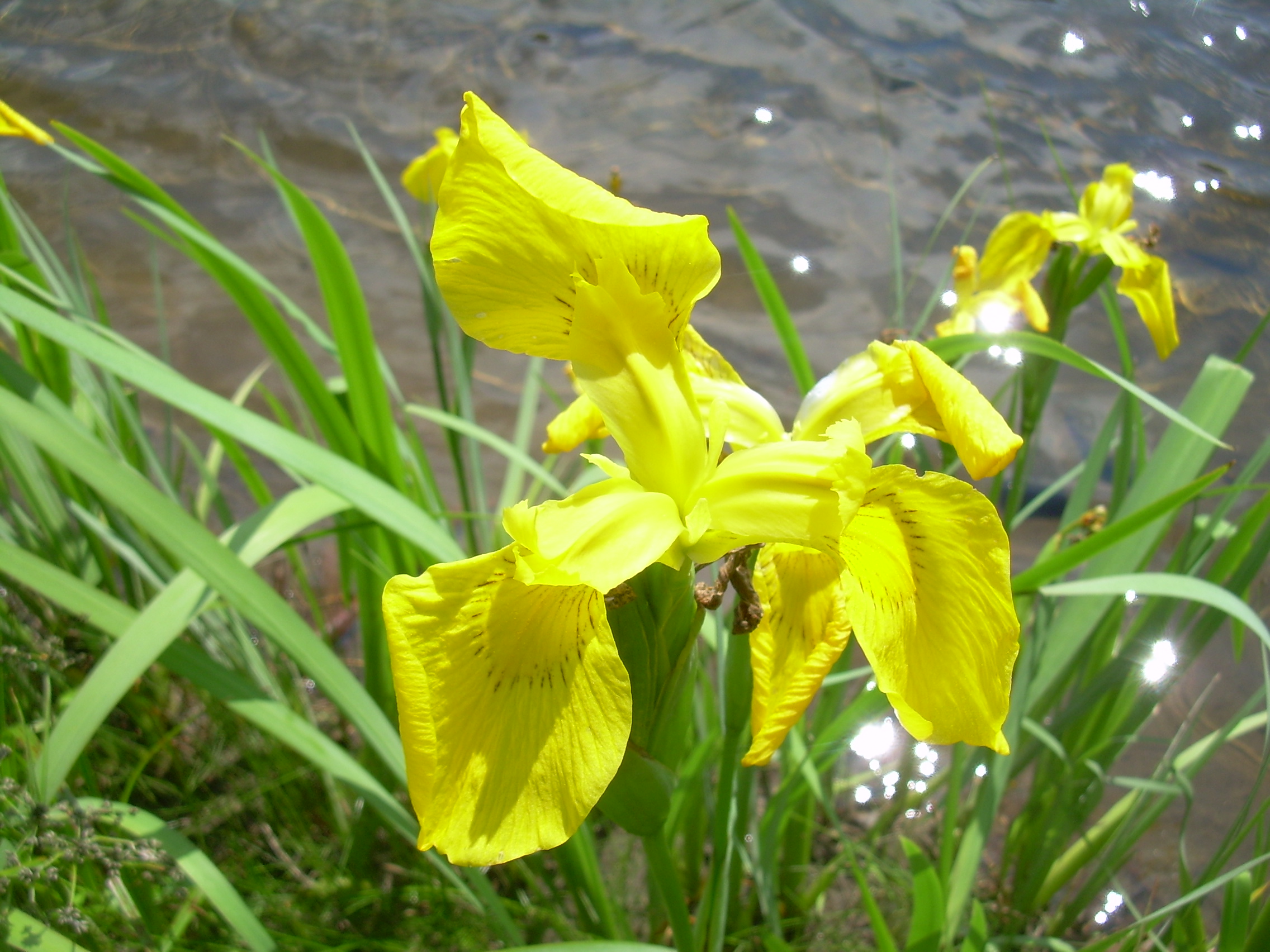
Wild Iris at McIndoe Dam |
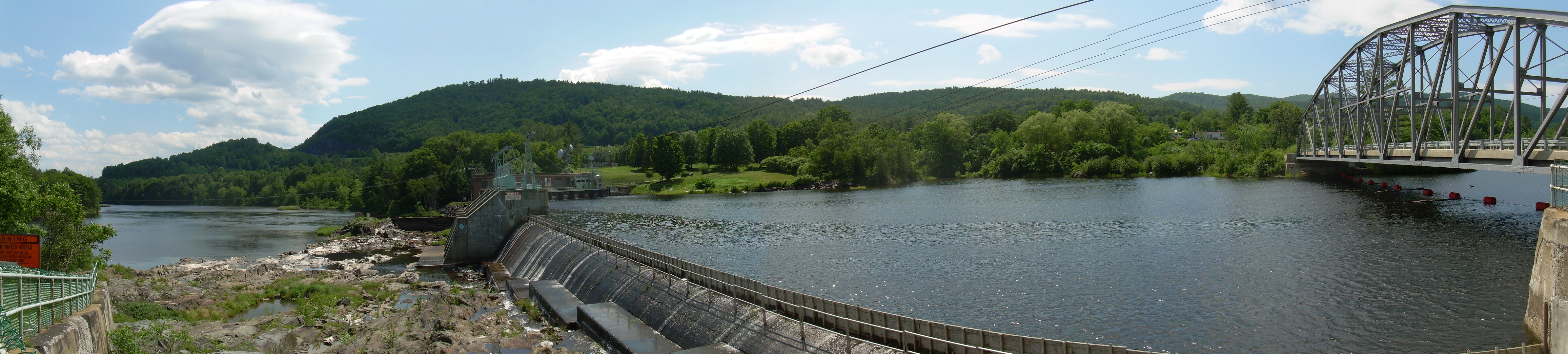
| McIndoe Dam |
End of Portage |
From the Rope Swing | ||
|
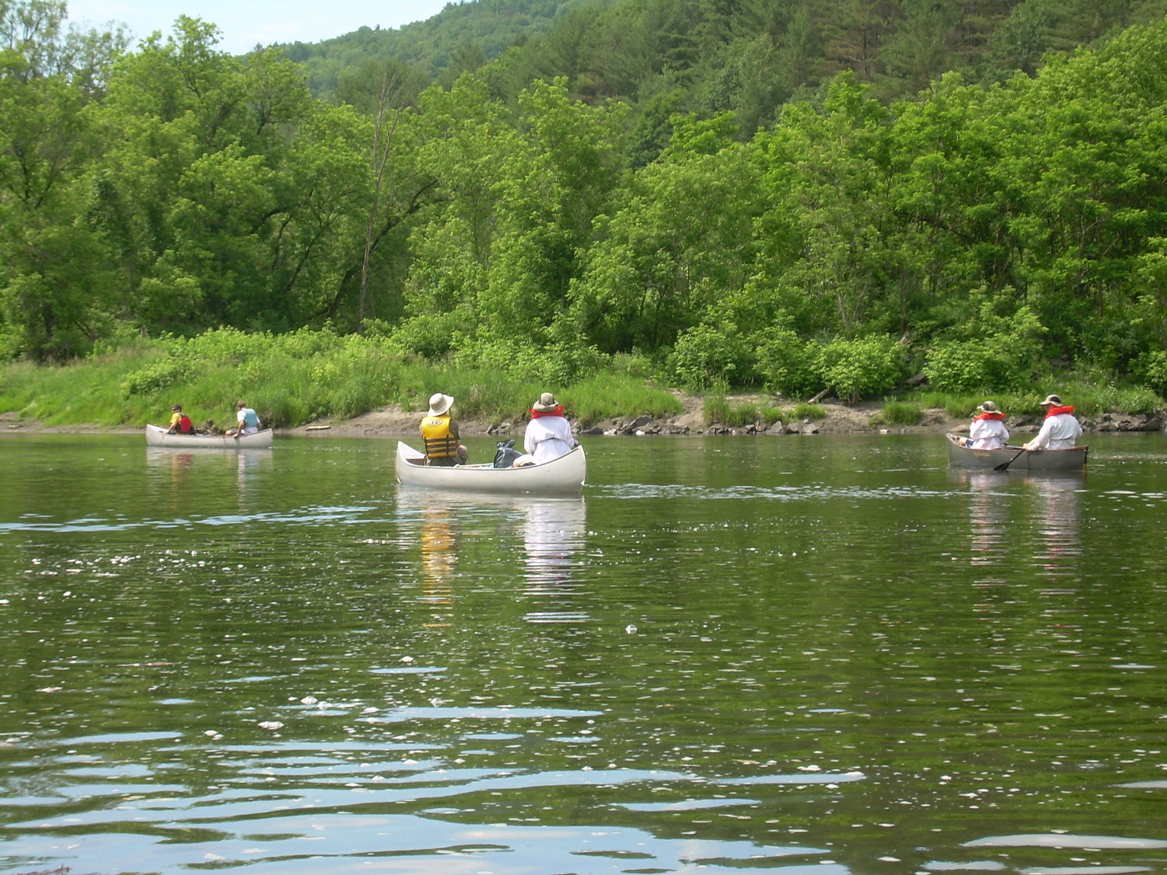
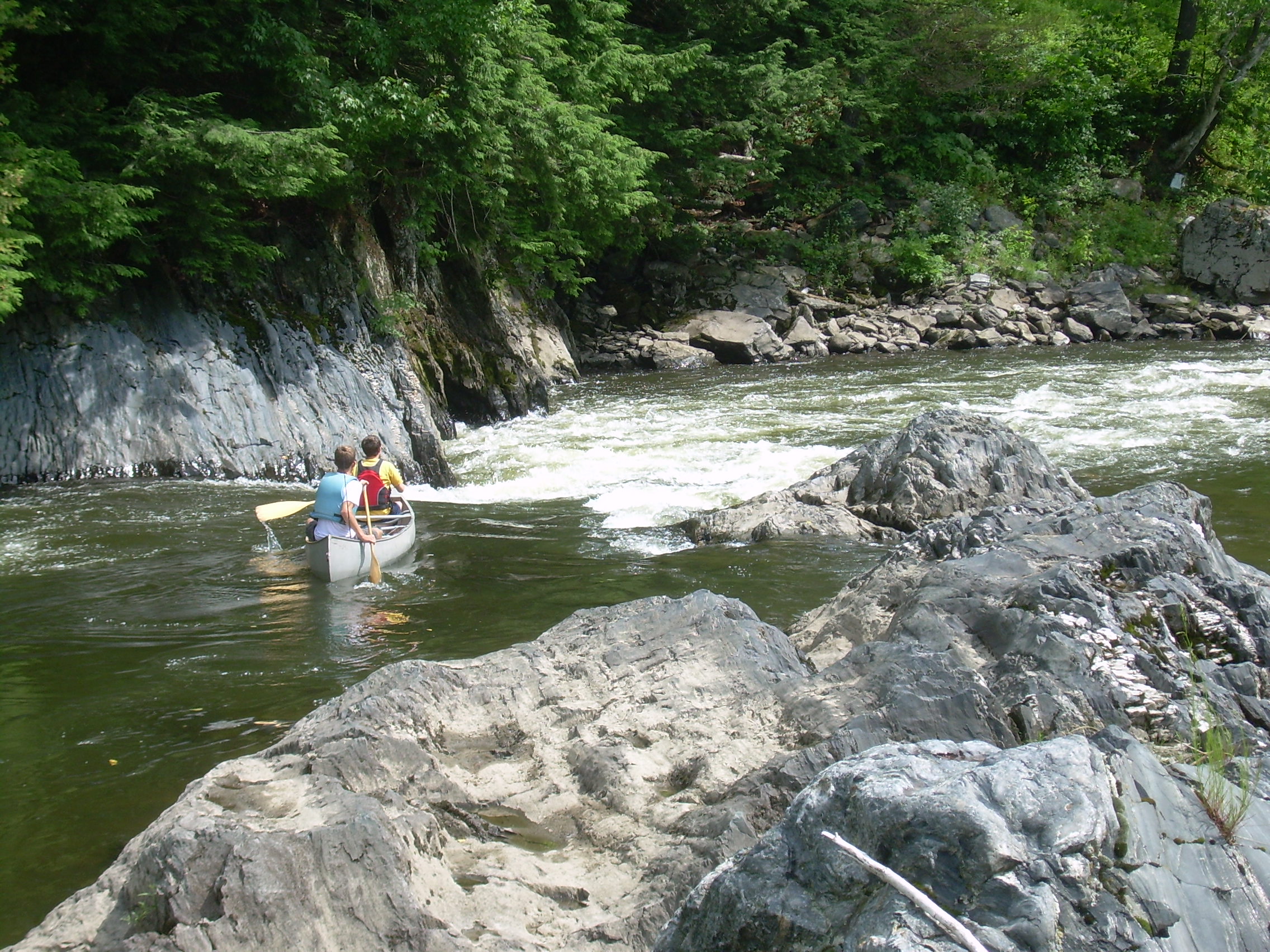
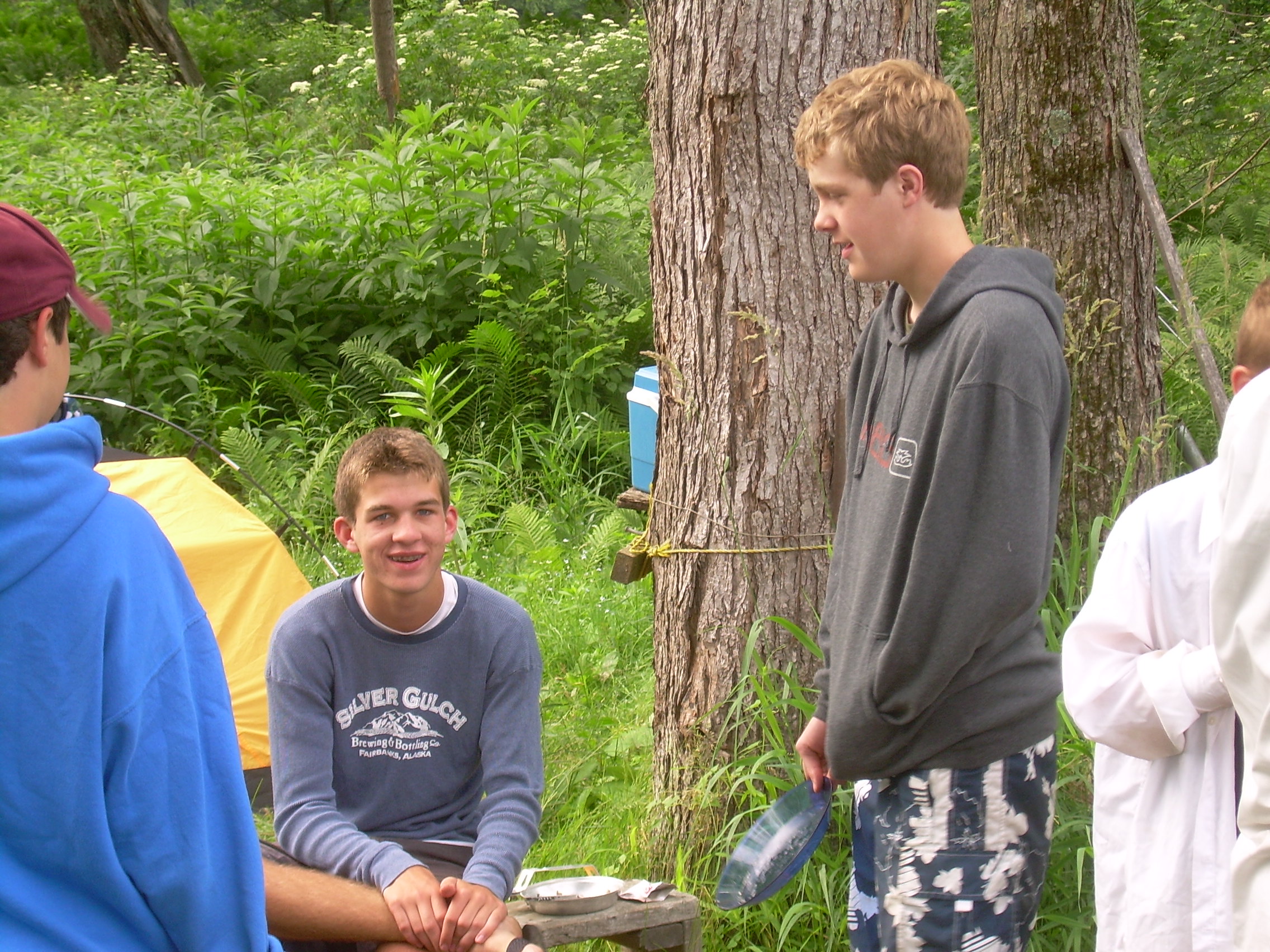
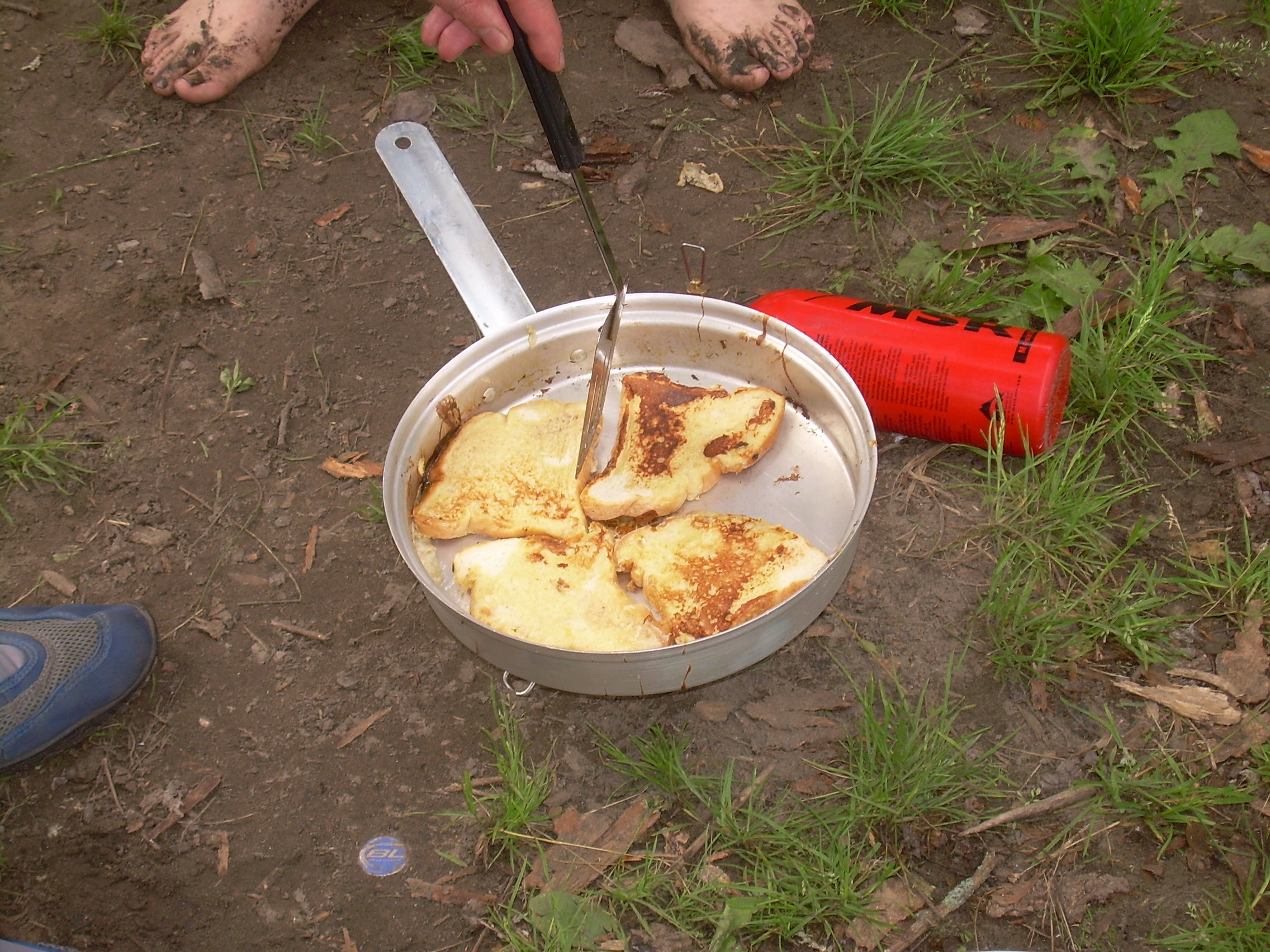
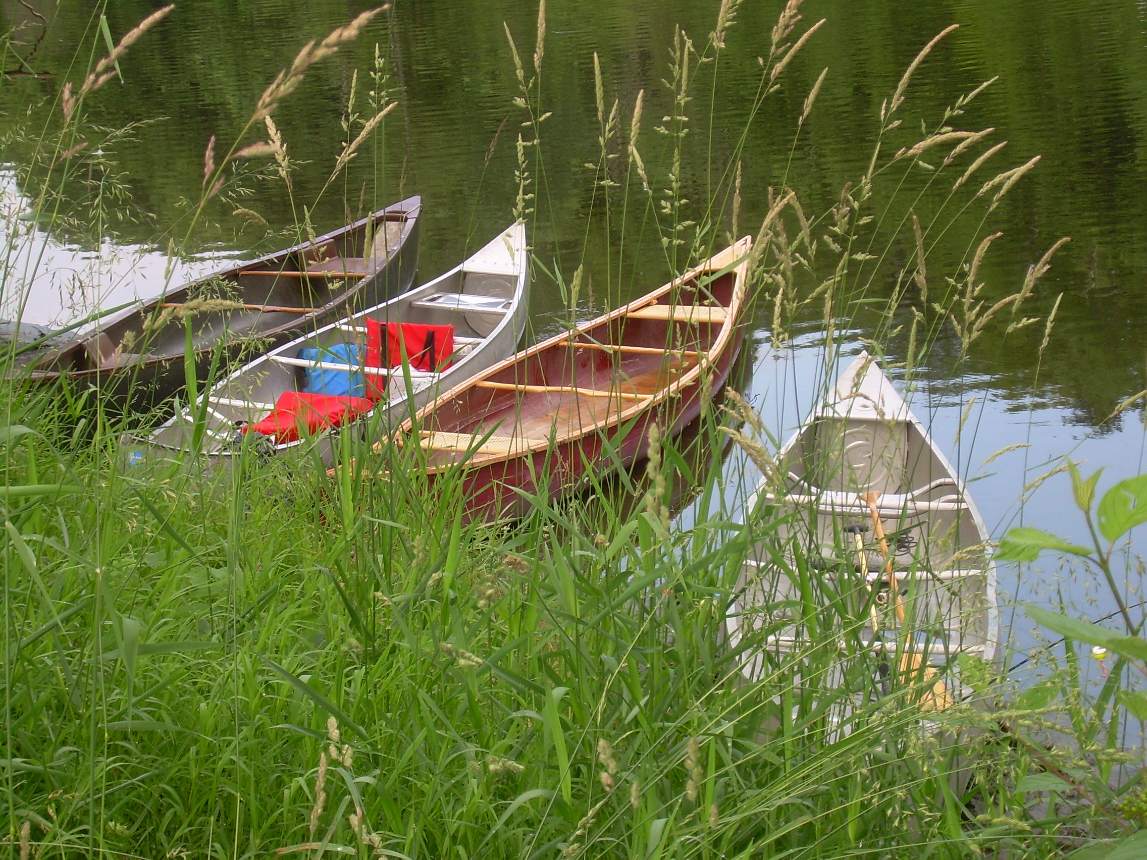
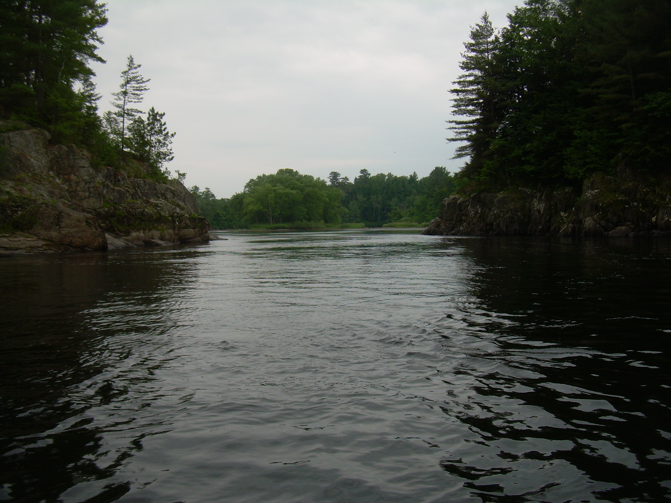
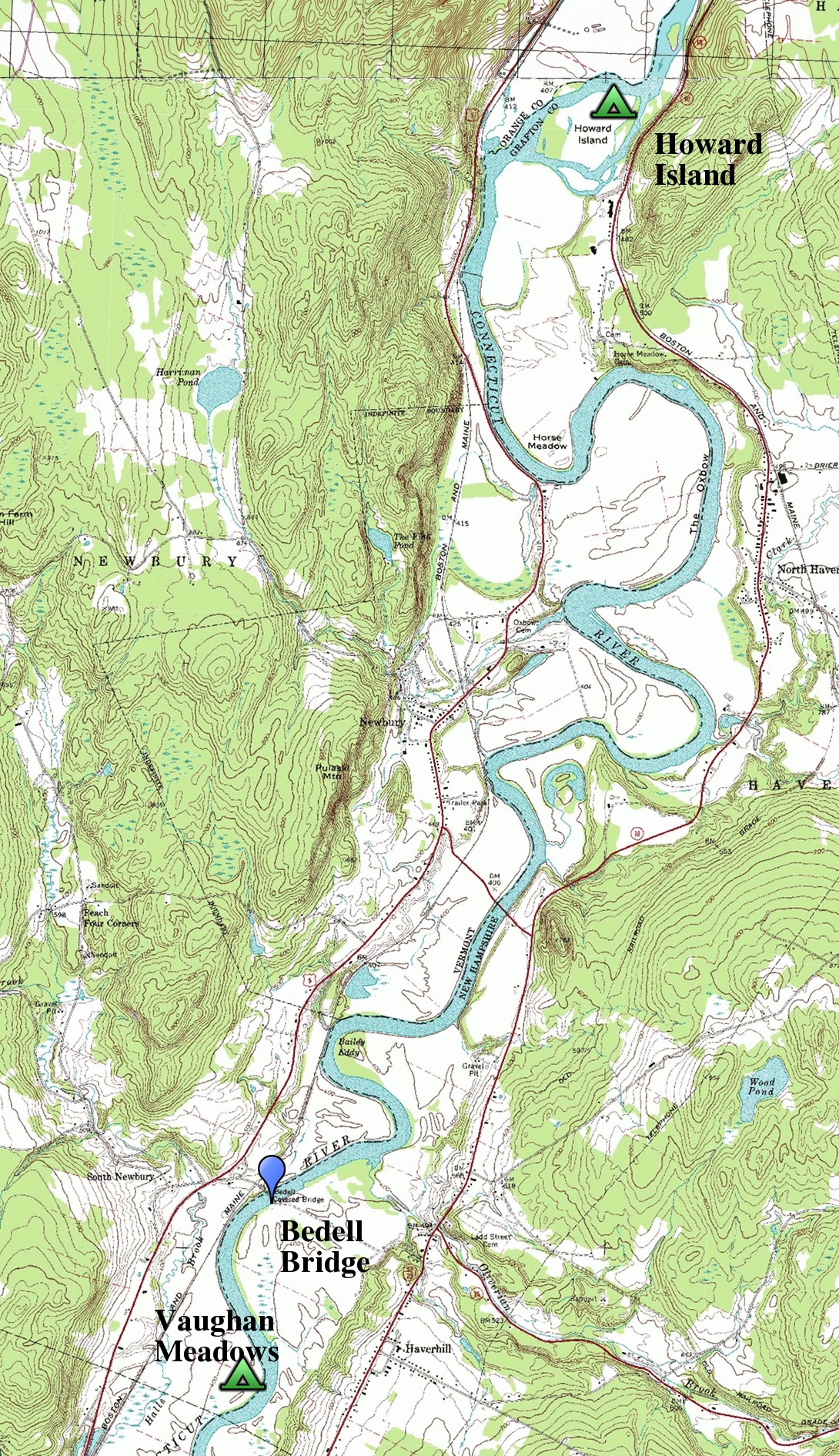
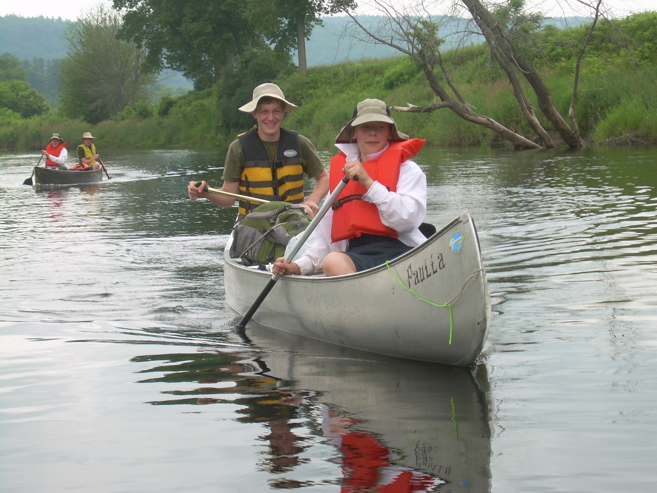
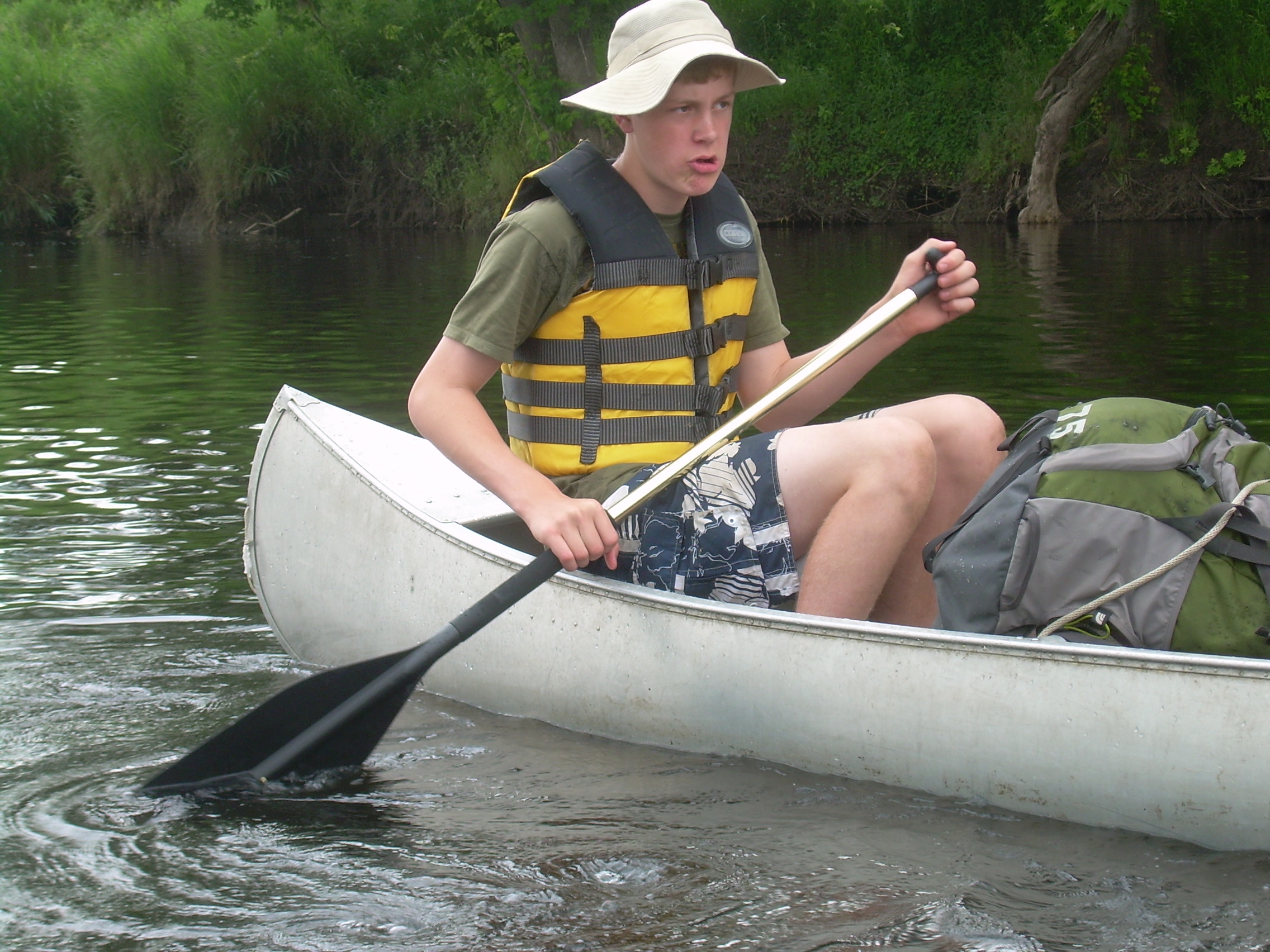
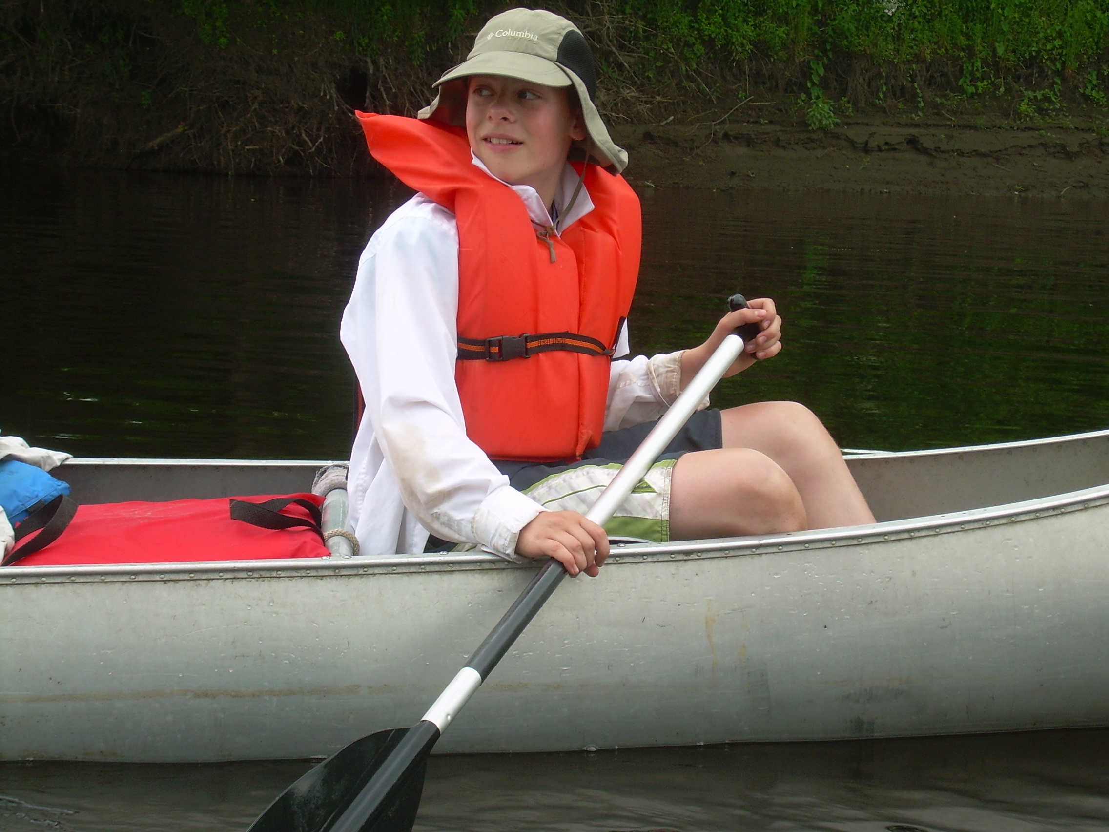
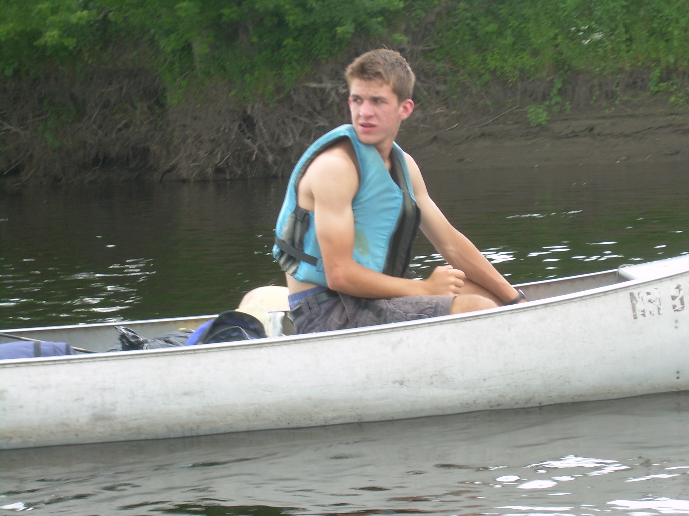
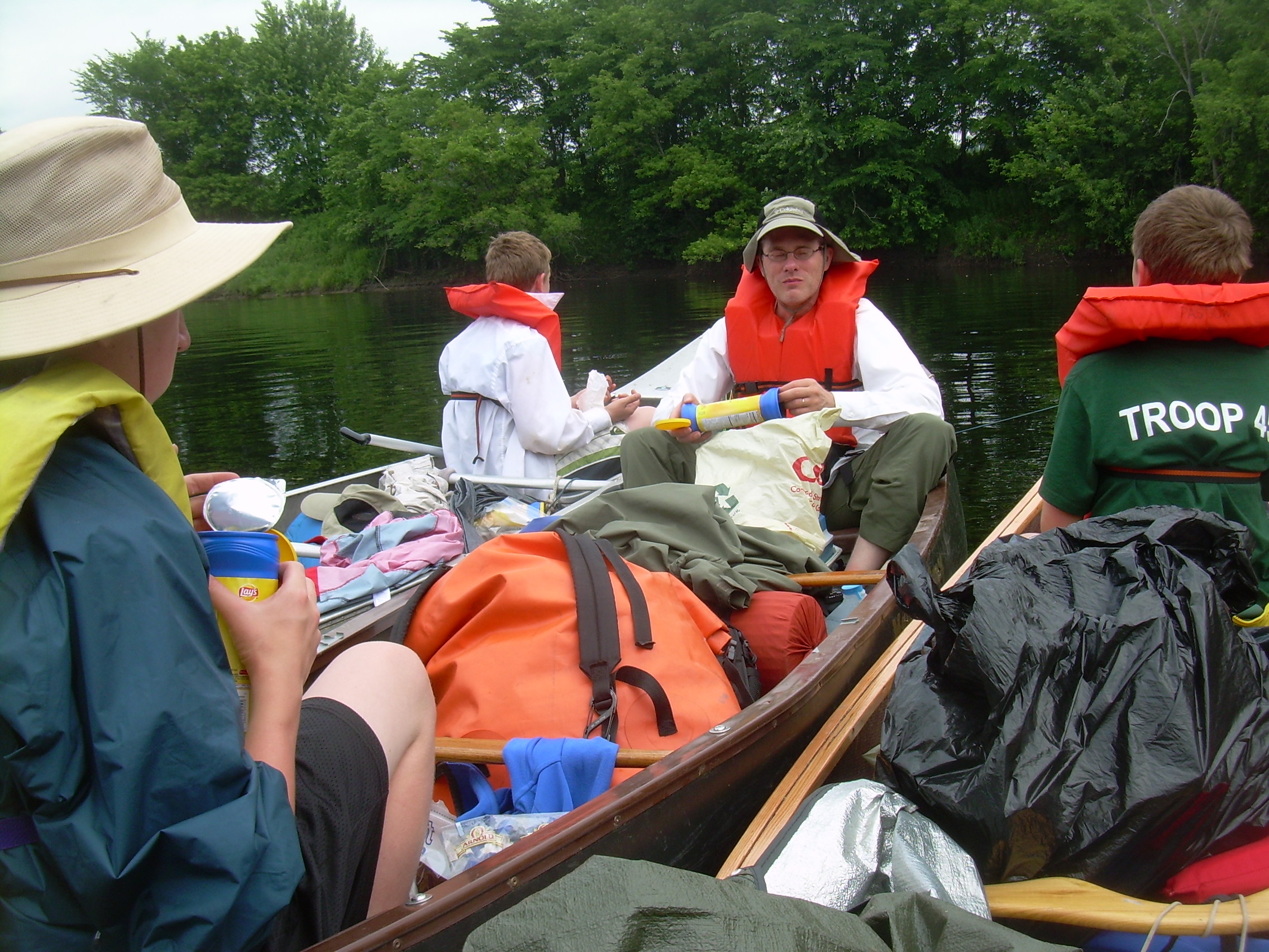
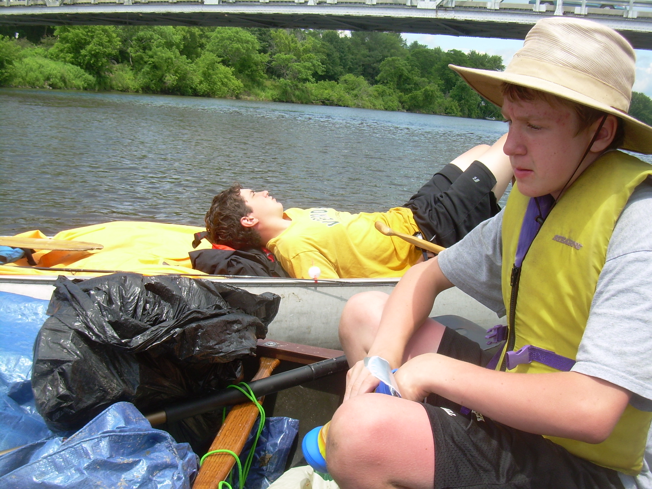
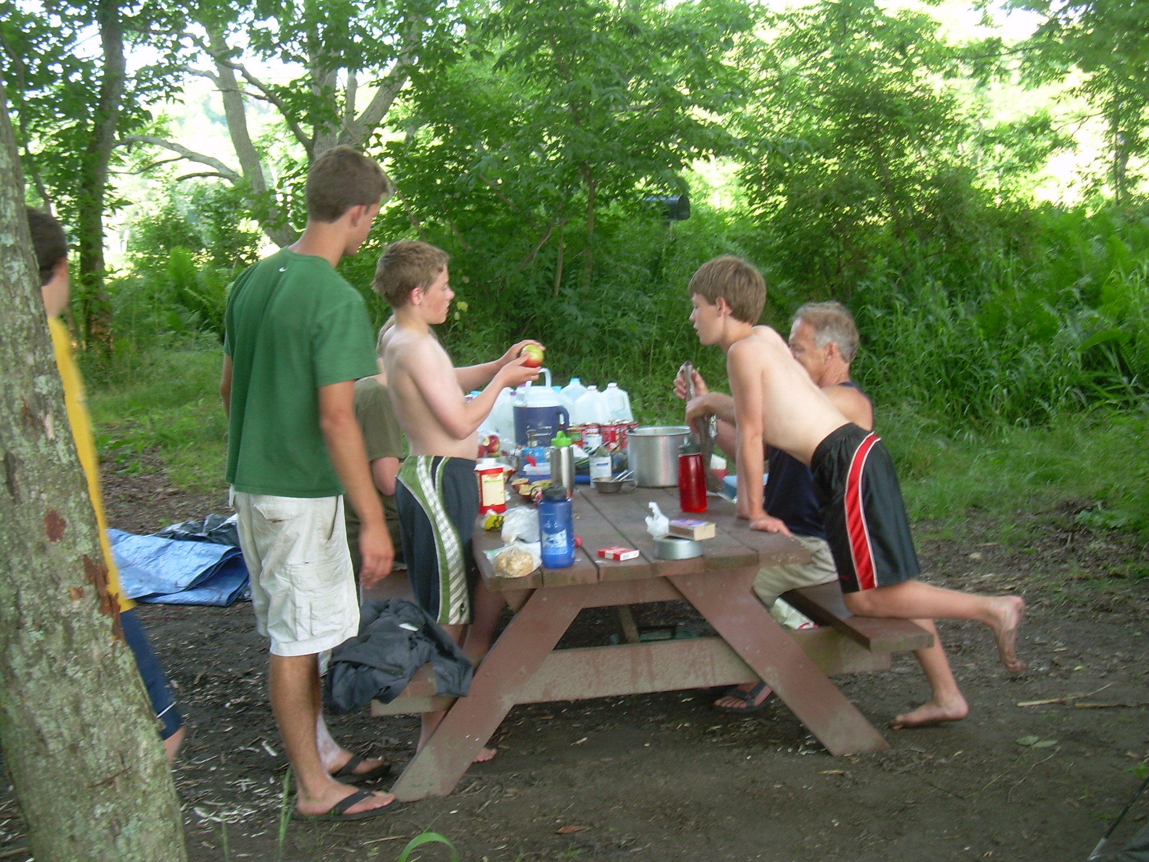
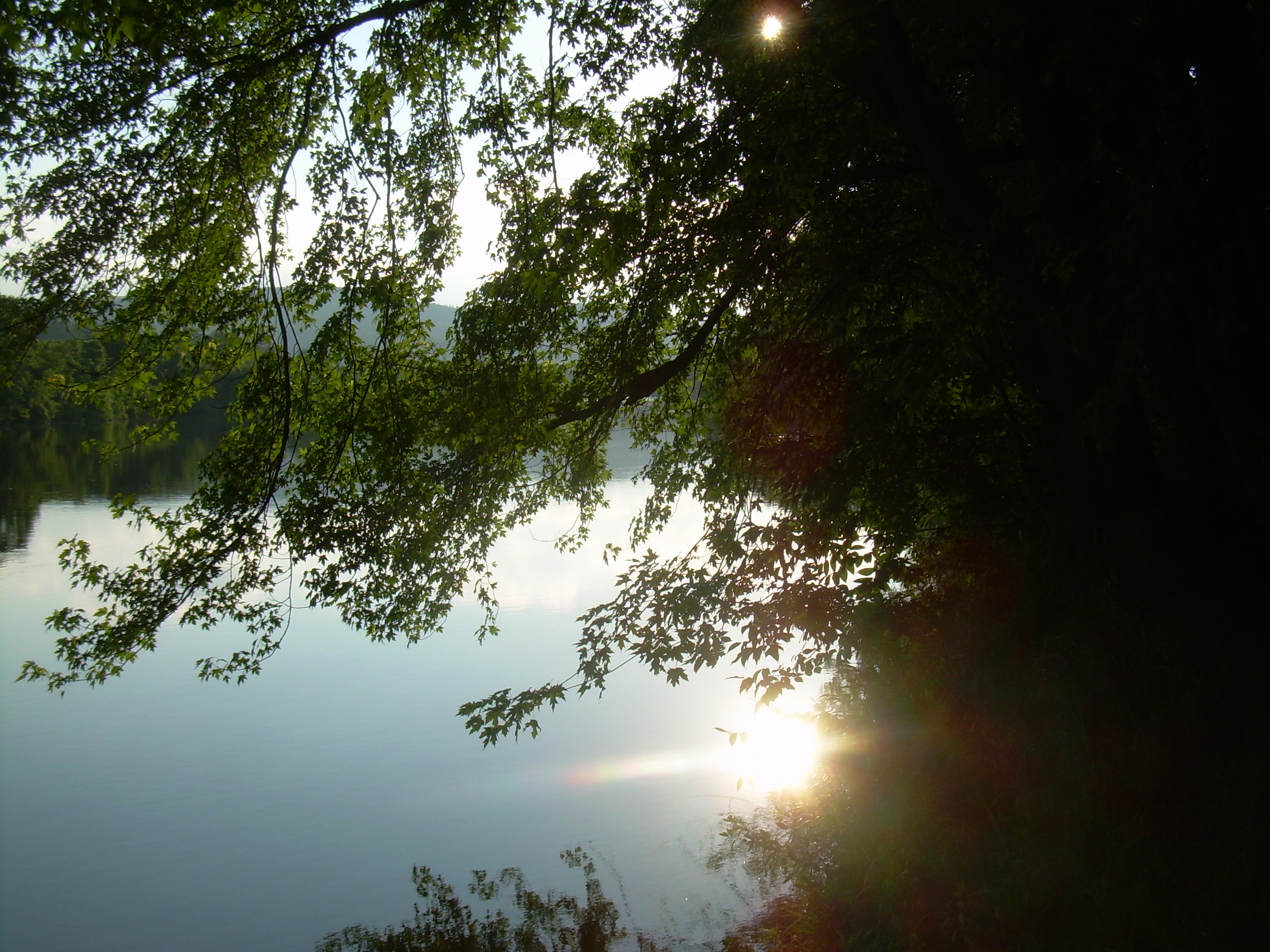
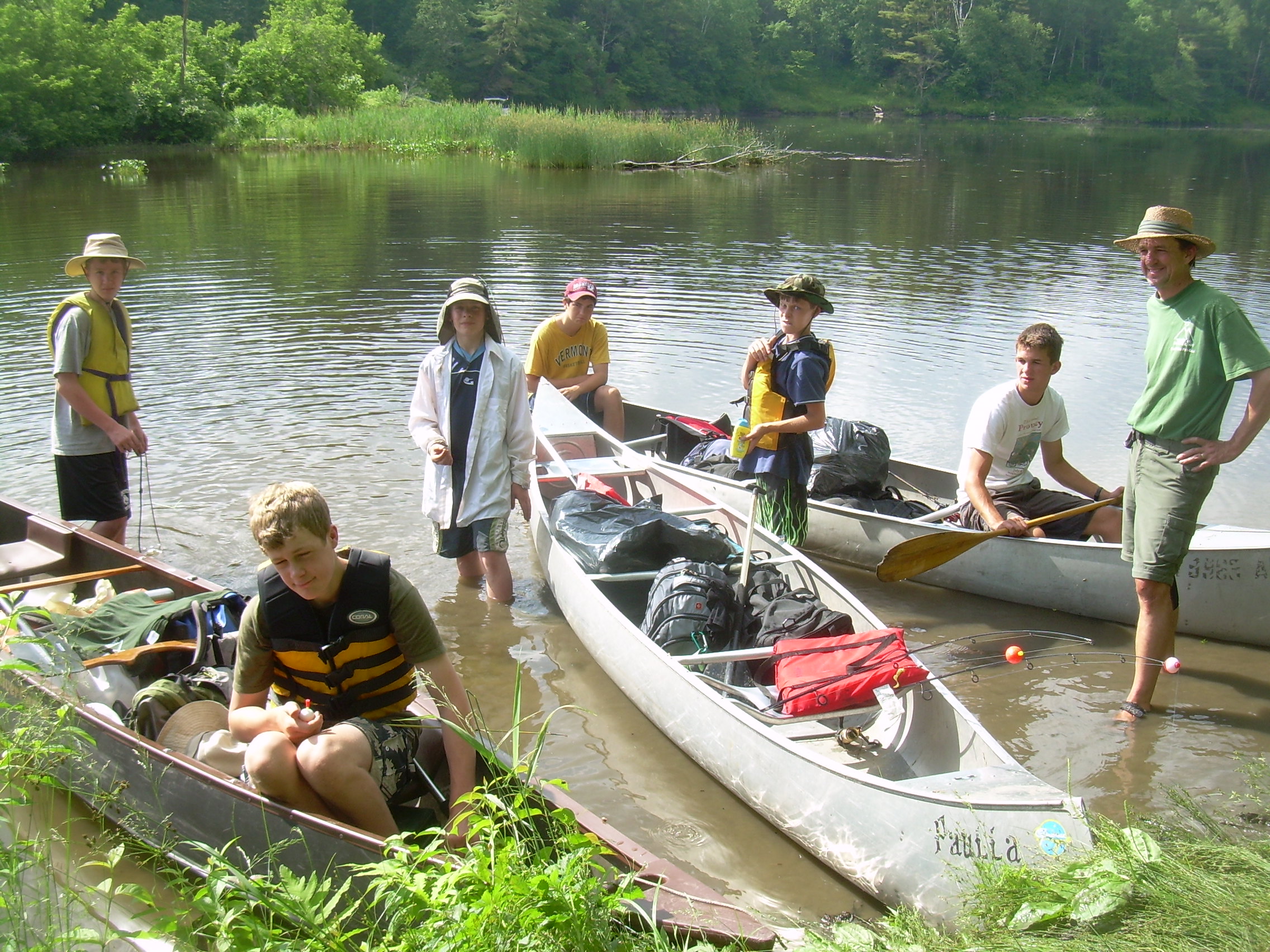
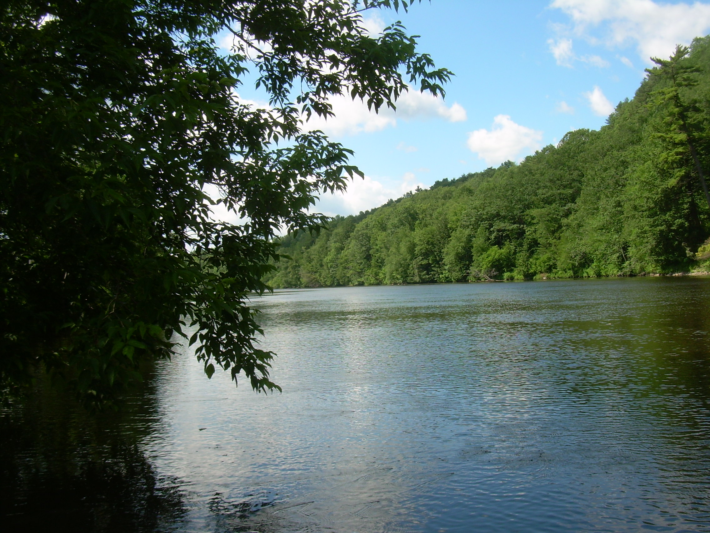
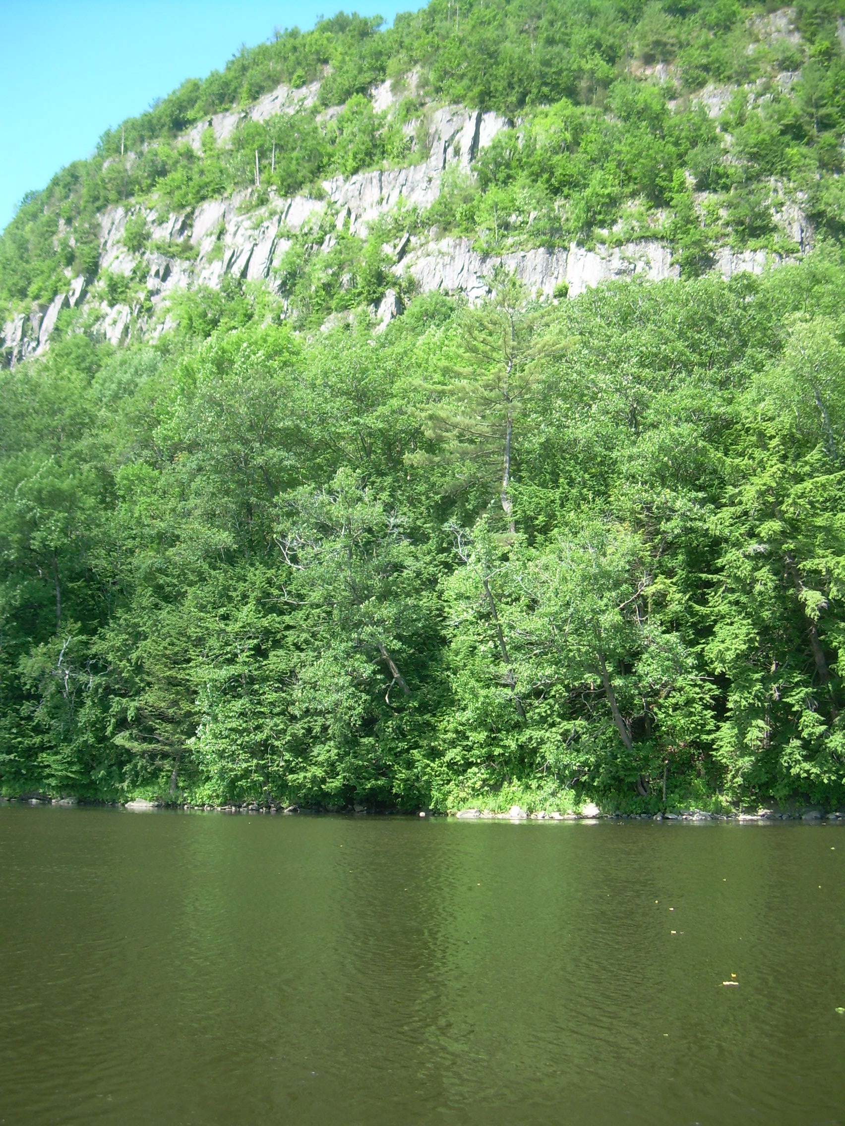
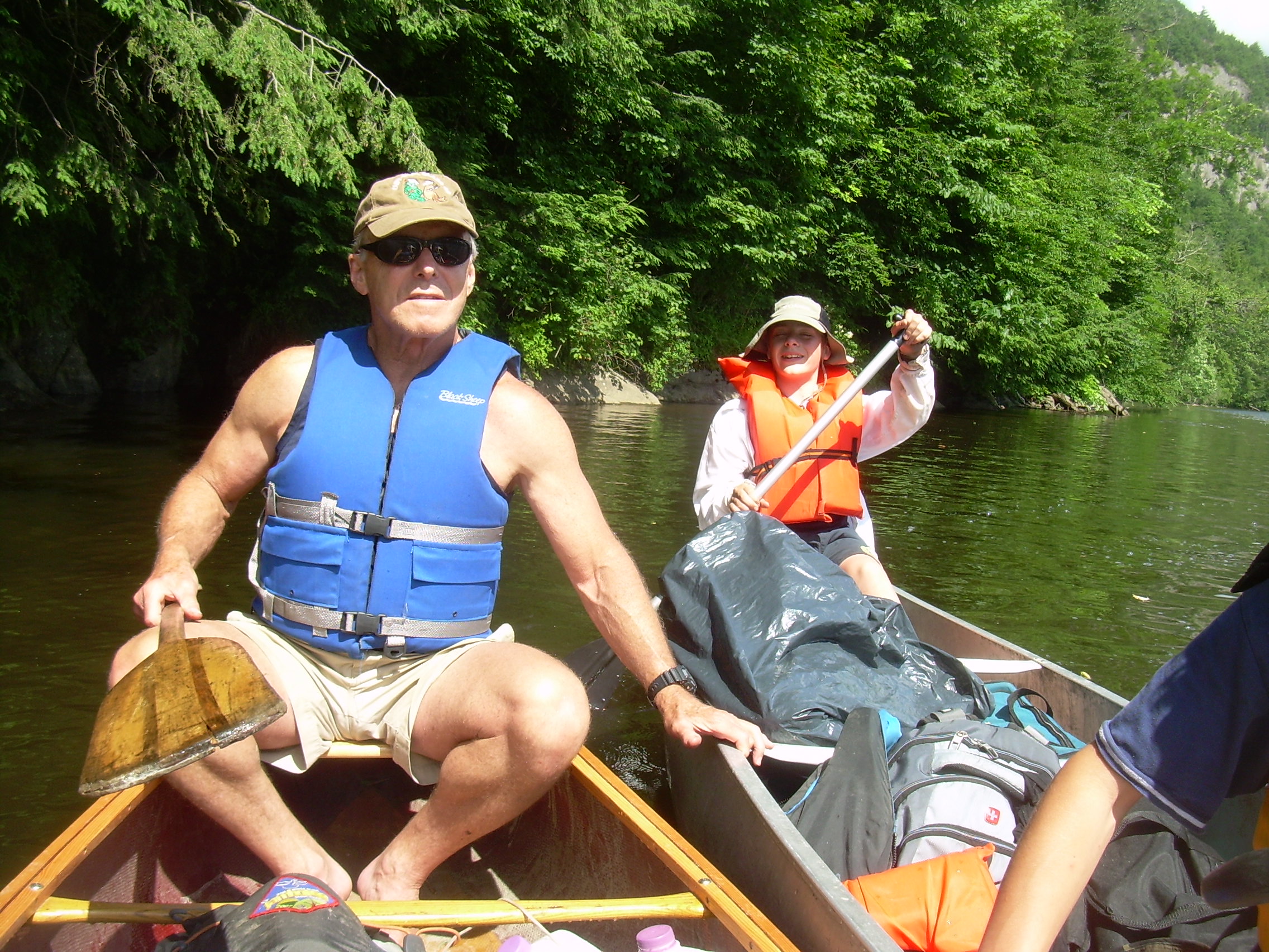
Day 2 - Saturday, June 26, 2010 Fiddlehead Island [mile 276] - Howard Island [266] (16 km - 10 miles) Fletcher and Glen were up very early. I heard them bumping around camp at 5:30. Later they told me that they were trying to light a fire - yet I never found out why I heard the sounds of pots and pans. I turned over and went back to sleep until 6:20. At that time I rolled out of bed and brewed myself a cup of coffee. The whole crew, except the high schoolers, were up a bit after 7:00 and by 7:30 French toast was being served - and David and Robin had joined us. How fast you can clean up and break camp after breakfast is often a sign of how long the crew has been working together. It took us an hour today. It is a little over a kilometer to our first stop, the only other portage of the trip around the dam at Ryegate. The guide book talked about the possibility of "running the dam" and described it as an old broken down barrier. The book must be a bit out of date. They Ryegate Dam is a vigorous hydroelectric plant operated by TransCanada. I think it has recently been extensively rebuild and raised and there is no possibility of the most expert of canoeist running over it. We take out into a tangle of overgrowth, and then find a portage trail past a leanto and campsite, up to a dirt road, past the dam, and down to a rocky launch area. The rocks seems to be popular with local anglers. The whole carry is about 400 meters (a quarter of a mile). We met a guy with a kayak who started at Canaan Dam near the head waters of the Connecticut five days ago [mile 373]. He hopes to reach the Massachusetts state line in three days, and I think he might just do it. He was dragging his kayak across the grass, but I gave him a hand lowering it over the rocks. Near where we took out there is a lot of poison ivy at the edge of the path and I am afraid that while carrying the canoes down this narrow section of trail our scouts may have trod in it. So before we launch we all soap up our ankles, feet and legs and wash up. The next reach of the river is a long slow drift. The banks are thick with trees and at one point in the middle of a 3 km straits we tie the canoes together and have a floating lunch. The day is starting to cloud up a bit and I wouldn't be surprised if it rains tonight. At the end of the straits we pass into a twist and narrows. Here the river has cut through a band of schist. It is at this point, with the pillars of rock and the rapids, that the scouts are reminded of the `Gates of Argonath' from the Lord of the Rings.
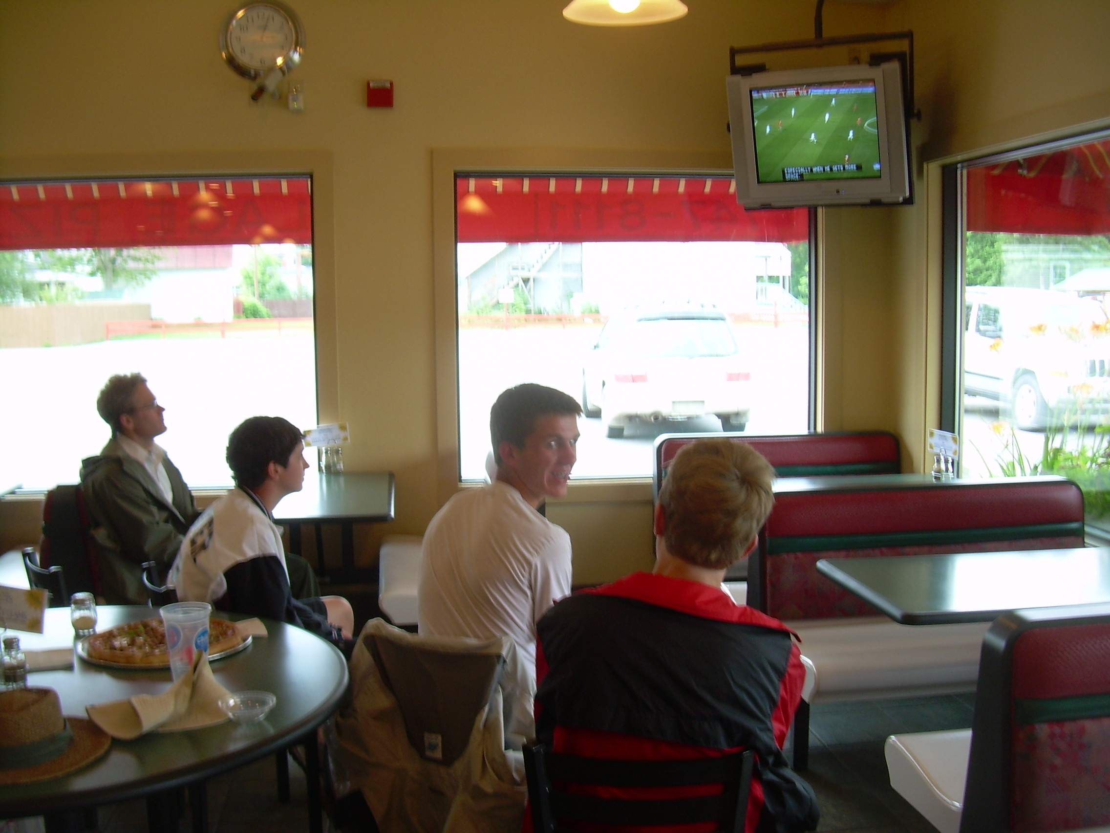
Frodo peering forward saw in the distance two great rocks approaching: like great pinnacles or pillars of stone they seemed. Tall and sheer and ominous they stood upon either side of the stream. A narrow gap appeared between them, and the River swept the boats towards it.Ours may not have been quite as epic. We rode out these rapids, shoot through the gap and then regroup on a sand bar. We have plenty of time, so hold up on the sand bar for a while. The boys bury David in sand up to his neck, but he still escapes. Finally we push off and head down the river for less then a kilometer into Woodville. The guide books says that there could be a whirlpool where the Ammonoosuc river joins us from the east. Maybe at high waters - but the whirlpool is barely perceptible now. Actually I think it would have taken a maelstrom like in Pirates of the Caribbean, or perhaps the Charybdis of the Odyssey to impress these hardy mariners. We tied up just above the confluence and scrambled up to the highway. I planned to treat everyone to ice cream in town. So we found a convenient store for ice cream. Even though I think of us as cut off from the rest of the world for these few days as we drift down stream, sometimes the world still grabs us. This time that long arm extended from South Africa. This afternoon the US was playing Ghana in soccer as part of the World Cup and David and Robin will do anything to see it. We eventually found the "Village Pizza" shop where we could watch the game. It seems odd to sit in a pizzeria watching soccer from half a world away when I thought I was on a wilderness trek. But the best thing about the treks are the surprises and the way we can dynamically adjust to the changing circumstances. Ghana scored in the first few minutes, and it was well into the game before the US tied it up. It was also interesting to talk with a few locals about the World Cup. A gentleman in his 70's or 80's stopped and asked for an update. A couple behind us were discussing some of the finer points of the tournament. I think soccer really is coming of age in America - even here in the north woods. At the end of regular time the game was tied. Most of us headed back to the canoes, but Robin and David stayed to watch the over time periods, and would then quickly catch up with us. We also had cell phone contact with them. I told the scouts that the confluence of the Connecticut and the Ammonoosuc is an important historical place since it was here where Roger's Rangers were suppose to be resupplied after their raid into Cananada during the French and Indinan War. (Later I read that it may have been at the Upper Ammonoosuc). The Rangers may have starved here except they launched a raft down the river to summons help from Fort Number Four. Back on the river we floated under a few bridges between Woodville, NH and Wells River, VT. Below that were some little rapids - what we now tend to call `ripples'. Chris and Fletcher try and alternative channel and find some short rushes of water followed by shallows were they had to get out of their canoe to float it. These ripples were described in the novel "Northwest Passage", about Roger's Rangers,
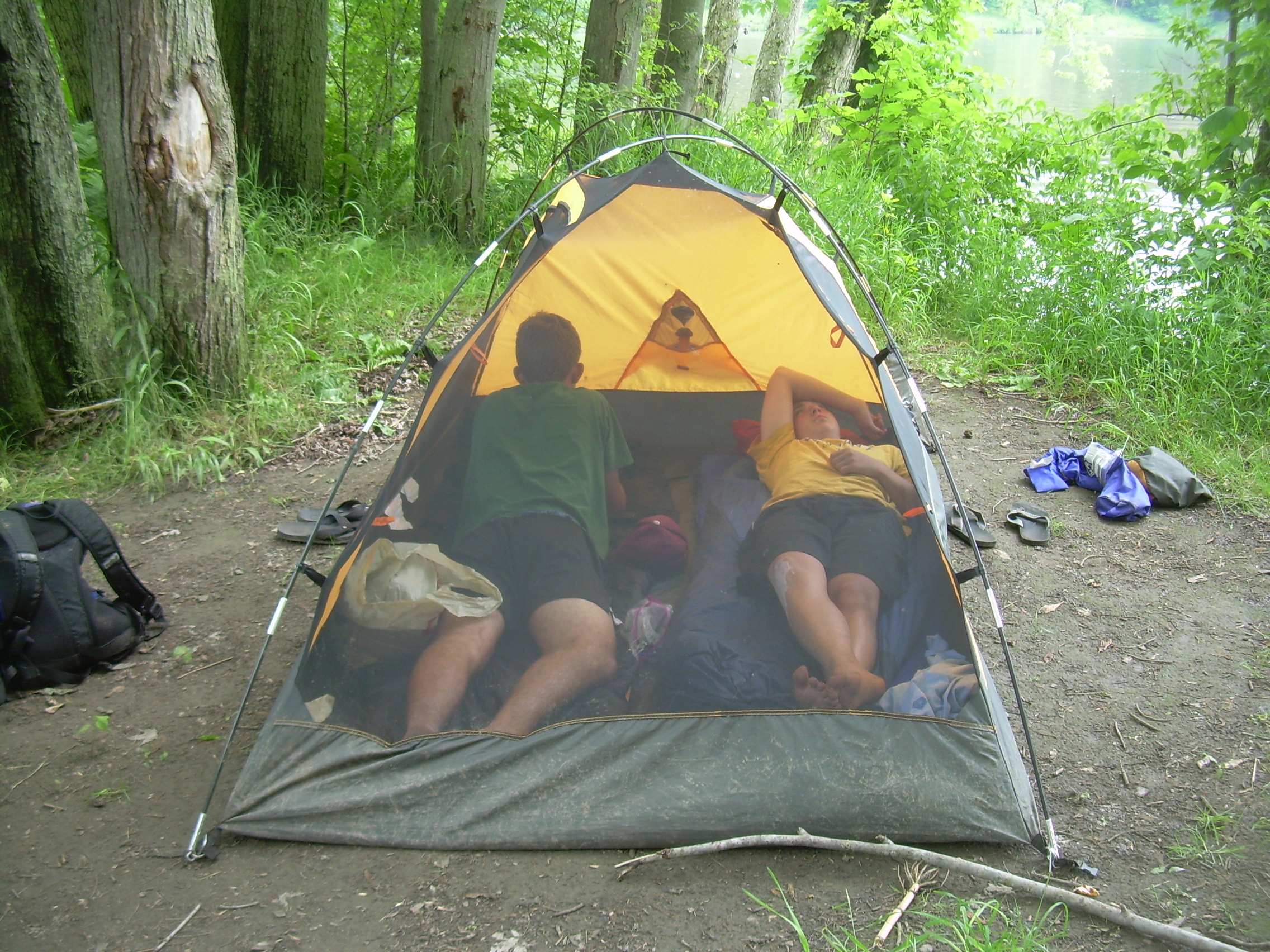
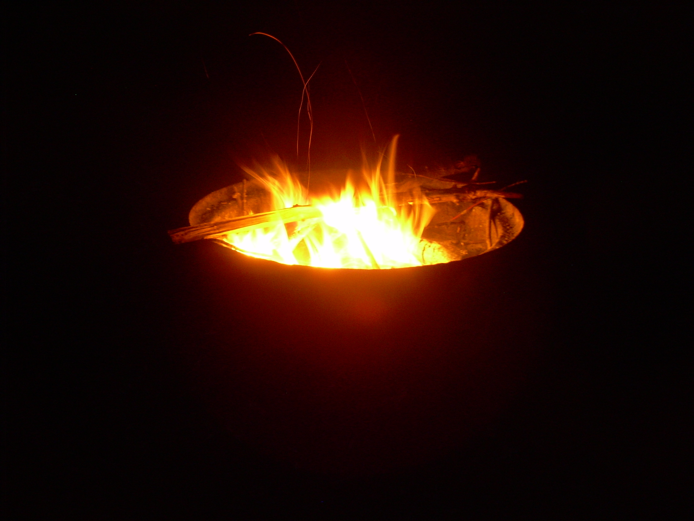
When we passed through riffles, the raft undulated and water spurted between the logs.It is about three kilometers from Woodsville to Howard Island. Shortly after we pulled up onto its boulder beach the two soccer fans caught up with us.Kenneth Roberts Howard Island is only an island now at flood waters, the channel which should cut us off from New Hampshire is well filled. Up from the landing is a narrow strip of woods and then the center of the island is a expansive meadow, I expect now mowed for hay, thick with grass and clover. There is a fire ring with logs around it. We pitch our tents, and also put up a tarp. It really looks like it will soon rain. While supper is being prepared I walked out to the highway to meet Ethan. Ethan had a championship baseball game in Haverhill today. Originally we had a complicated plan to rendezvous - but since the channel is dry I simply walked across the boulder field, found a trail to a corn field and then a farm road to the highway. All the time it was pouring. By the time I reached the highway I was drenched. A car stopped to ask me if I needed help. When I explained that I was waiting for a camper they looked at me skeptically and then drove on. Almost the moment Ethan arrived the rain abated. But the world was very soaked. Back it camp supper was ready - a potato pepper stew which was surprisingly good. It was mainly sweet peppers - but also had a few roasted japlopino to jazz it up. People were then talking about early bed and forgoing somores because everything was drenched. Still, I insisted that we try to get a fire going. Down by the river I found a branch from a birch tree lodged in the mud. We were able to shred the bark and light it. Then with everyone whittling off the wet outer layer of twigs, we could burn the dry inside. It was a lot of work to get that fire going but the prize, somores, was worth it. Eventually we got a fire going and sat around it for an hour. But then we all drifted off to bed.
|
|
| Pizza & World Cup |
Bridges Woodville-Wells River |
Howard Island |
|
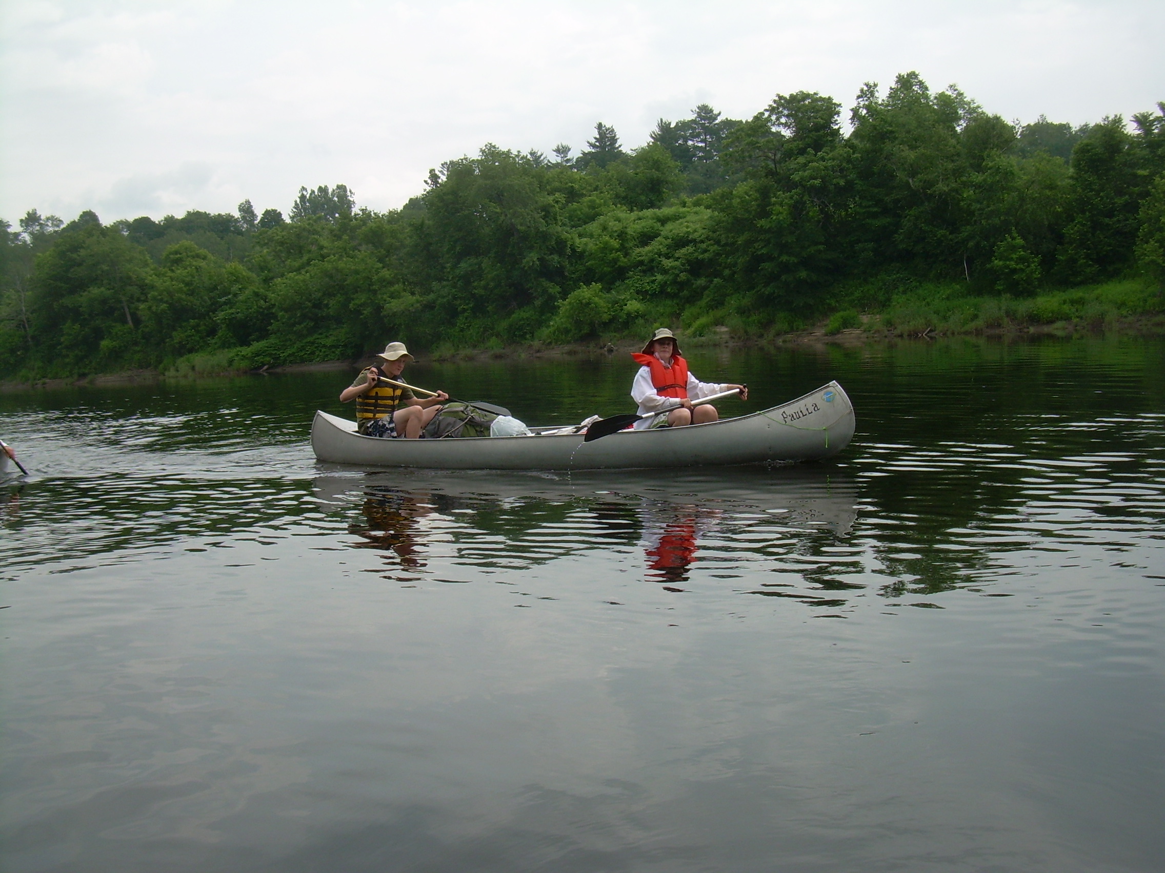
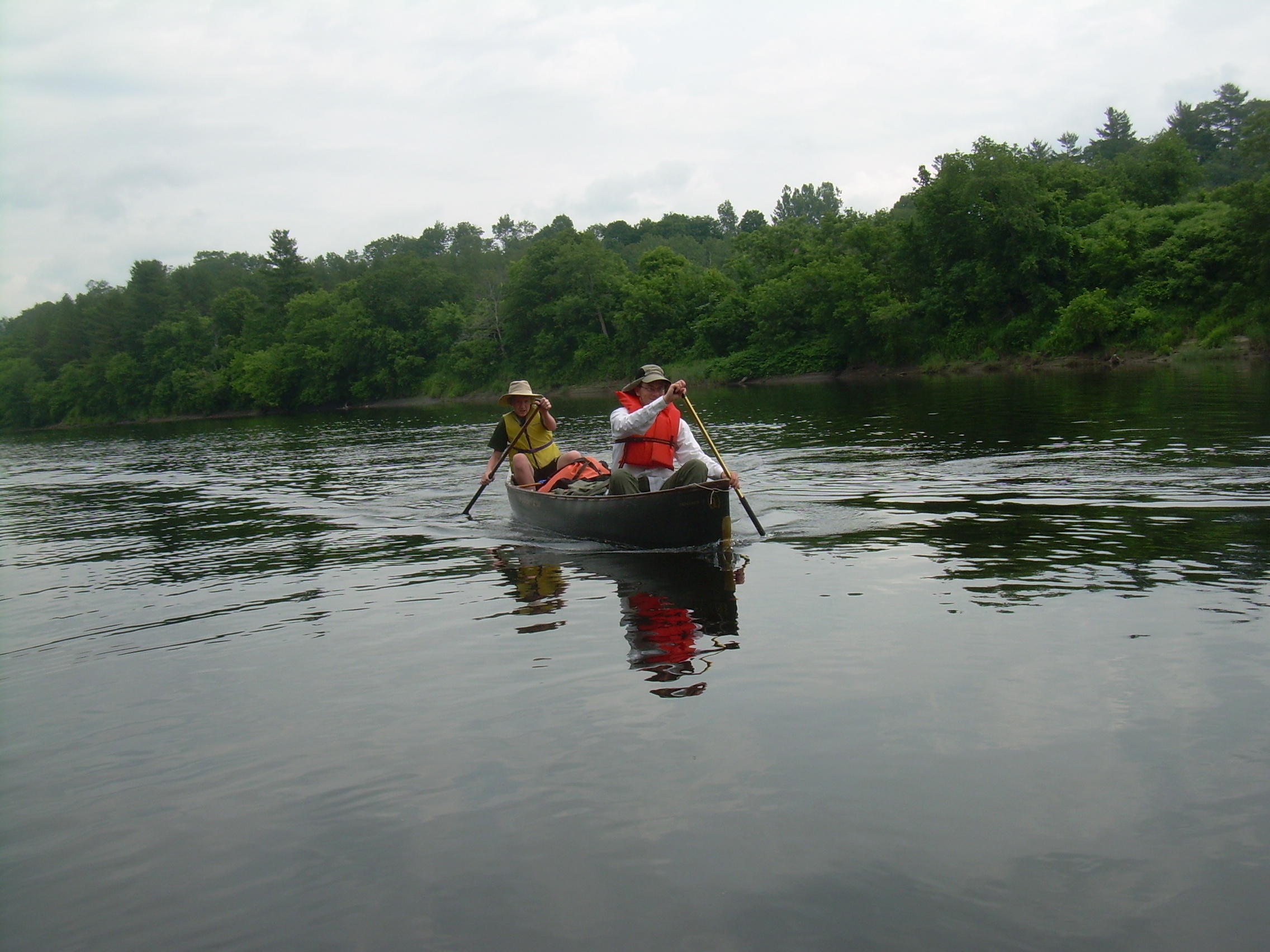
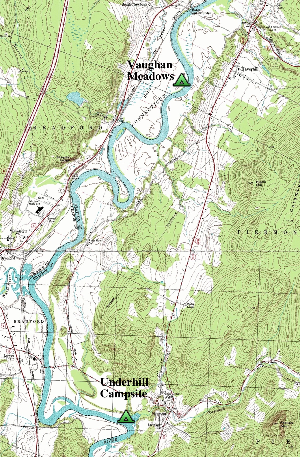
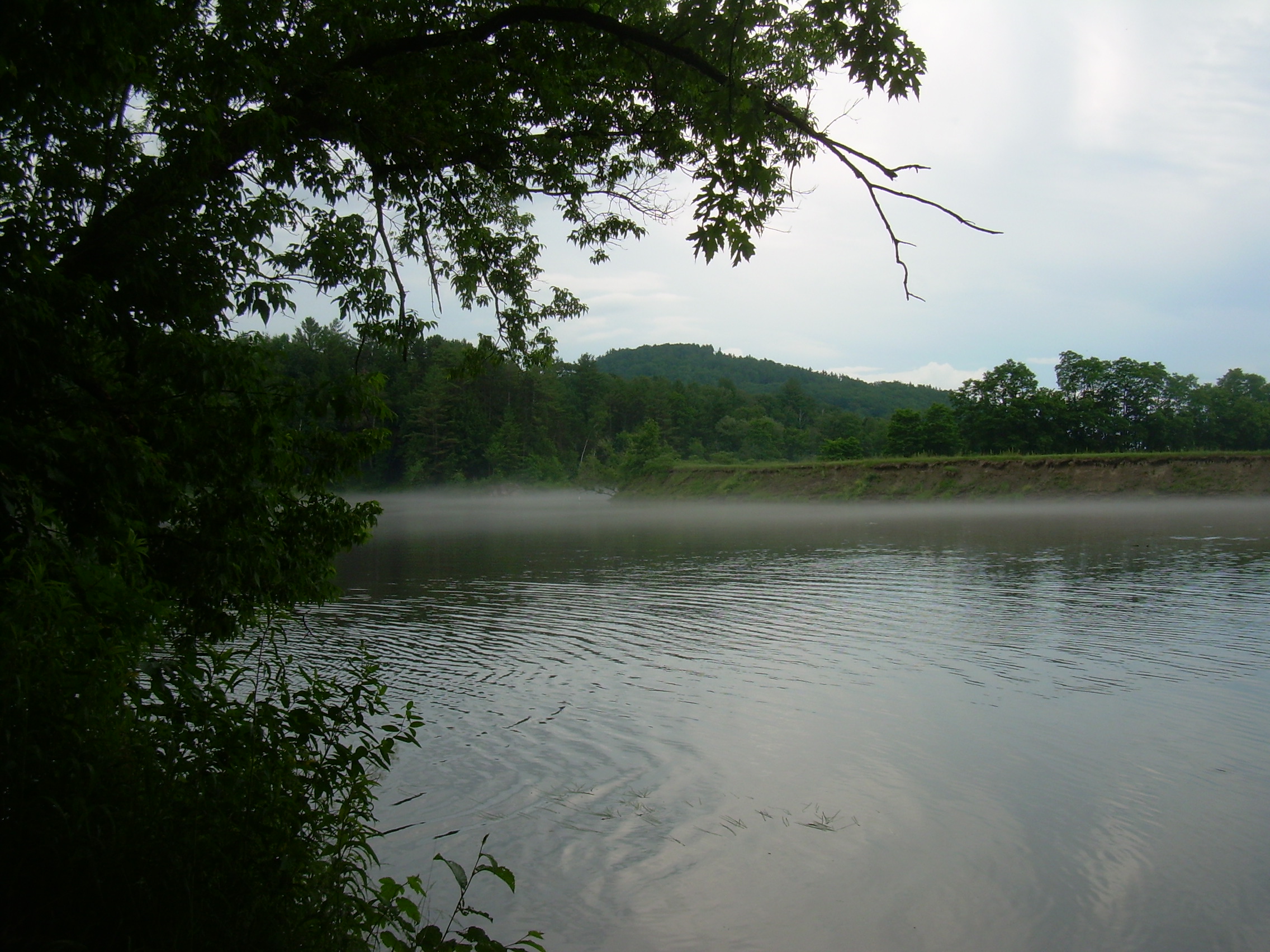
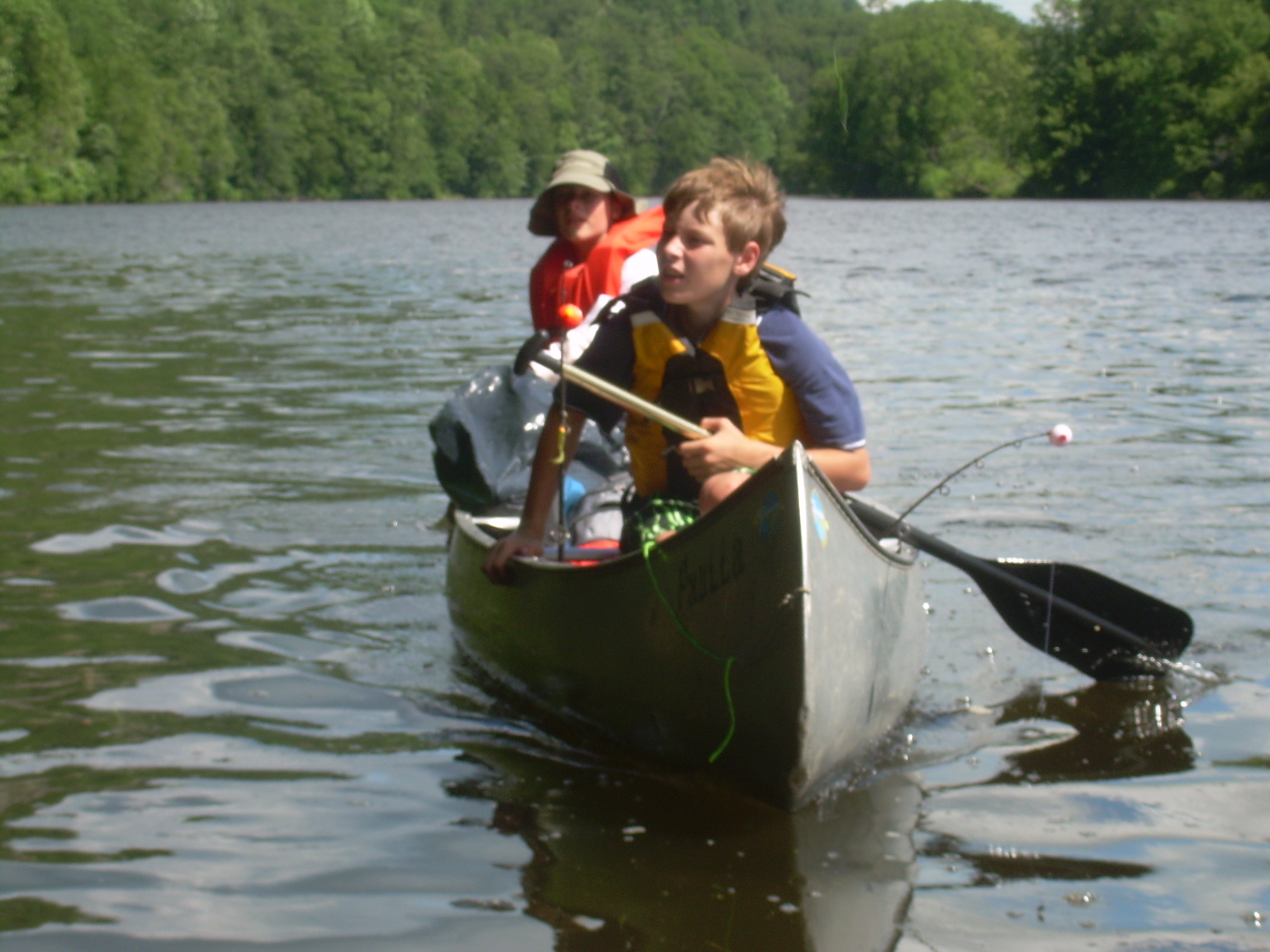
Day 3 - Sunday June 27, 2010 Howard Island [mile 266] (Woodsville) - Vaughan Meadows, VT [254] (near Haverhill) (19 km - 12 miles) It didn't rain again overnight and I am optimistic that we might dry out today. The sky is grey, but I can see the mist rising off of the hills of Vermont. I'm the first one up so I brew my cup of coffee and take it down by the river, by the canoes, and watch the day evolve. There is a duck with a bit of tuff (a merganser?) racing around the canoes, trying to hide from me. When I walked back up to the site a few bodies were stirring. This morning we had oatmeal and hot chocolate for breakfast and then quickly broke up camp. The older scouts may have been the last up - but they were also the first on the water. Down a few ripples and past a crumbling sandy bank full of Cliff Swallows. The swallows come shooting out of their nest which they have burrowed into the cliff face. I am fascinated by the fact that they seem to emerge at full velocity - like a bullet from a gun barrel. I don't think we have done anything violet to excite them, but they all seem to be in a frenzy and are swarming as we pass by. Glen is my canoe partner today. For the last two days I have soloed since we had an odd number of people before Ethan joined us. Sometimes I am in the stern, and then sometimes we both turn about in our seats and Glen becomes our stern man.
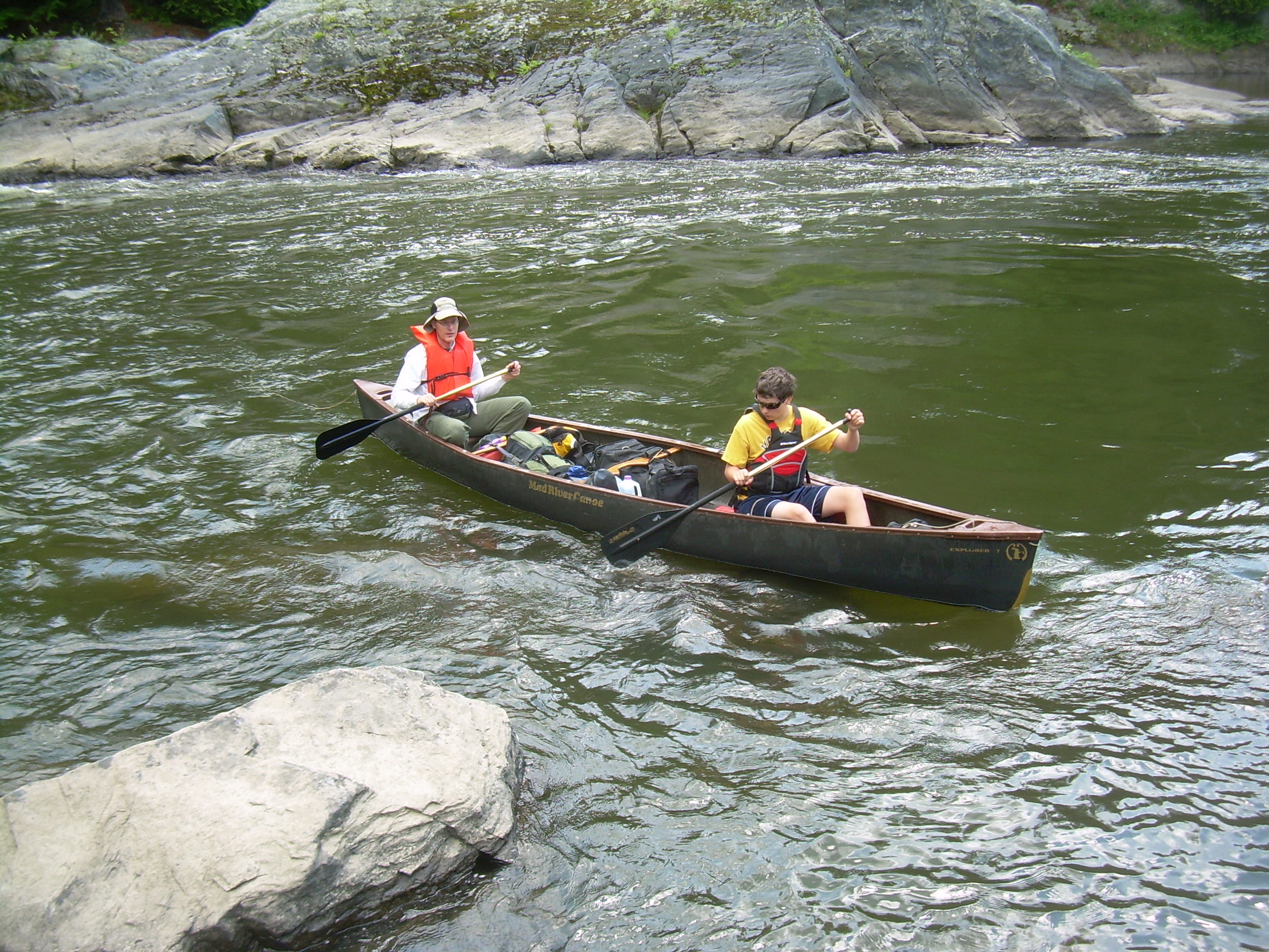
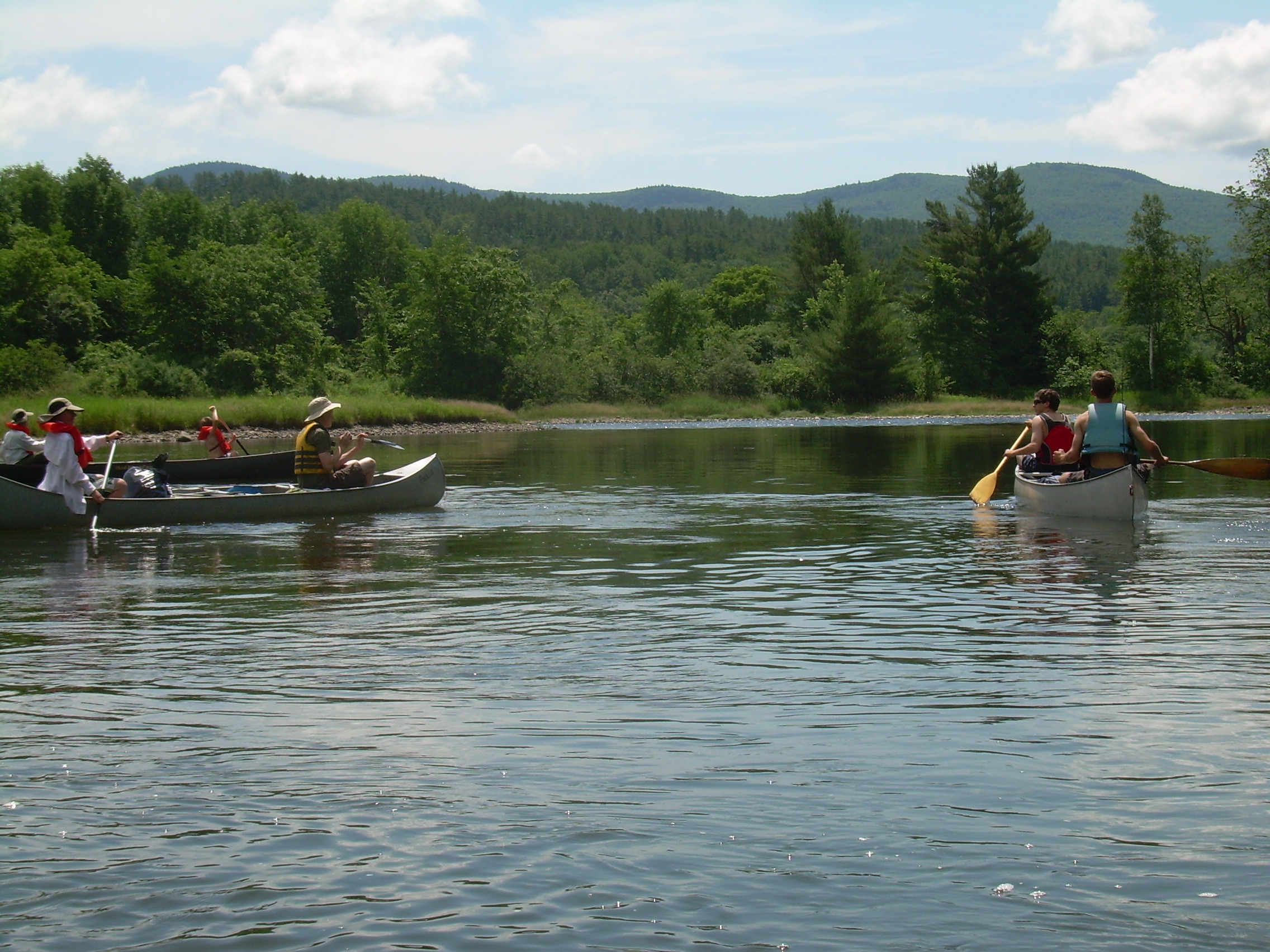
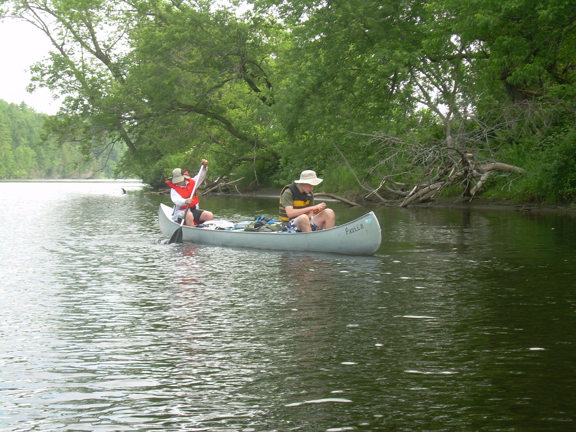
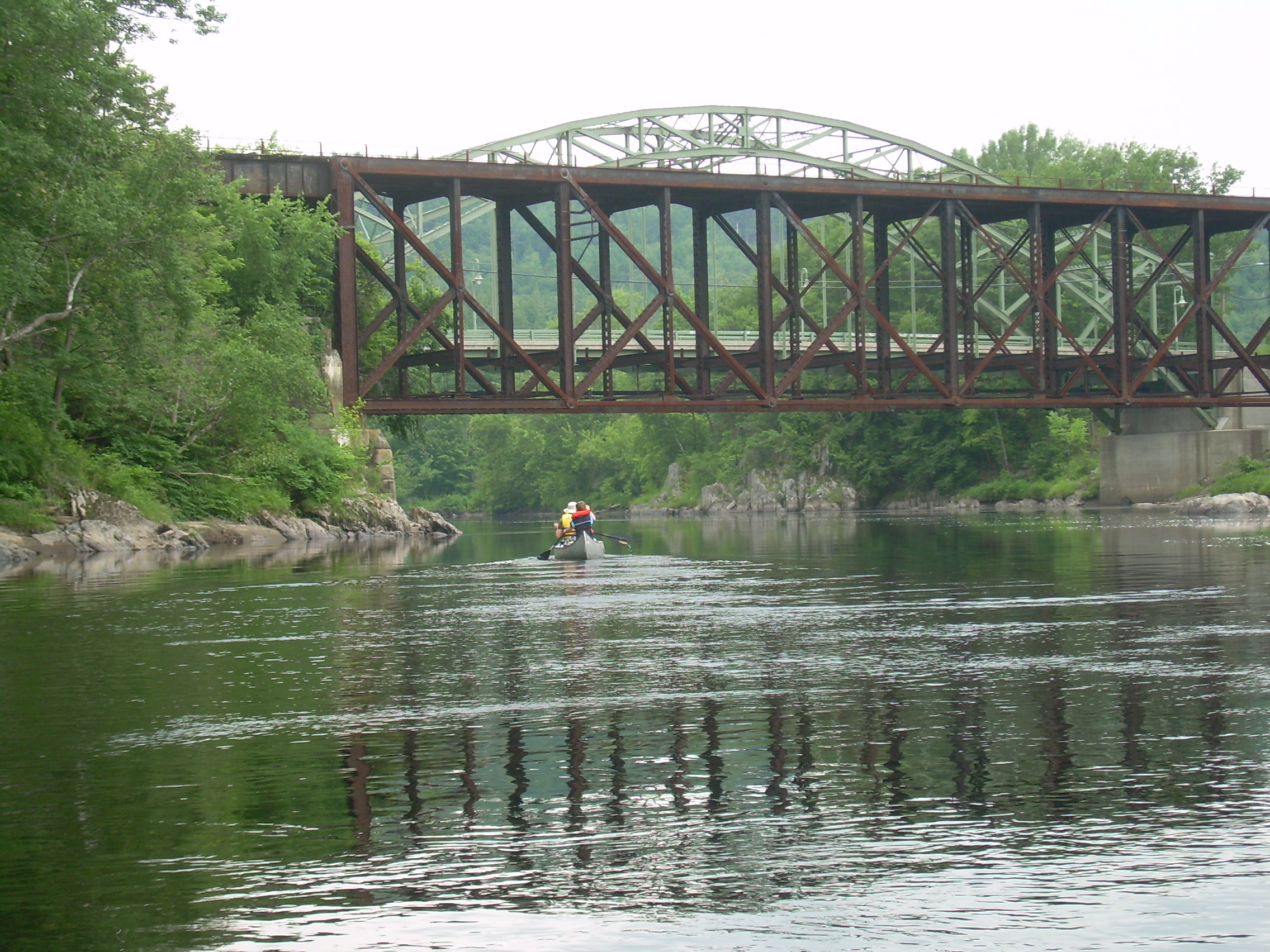
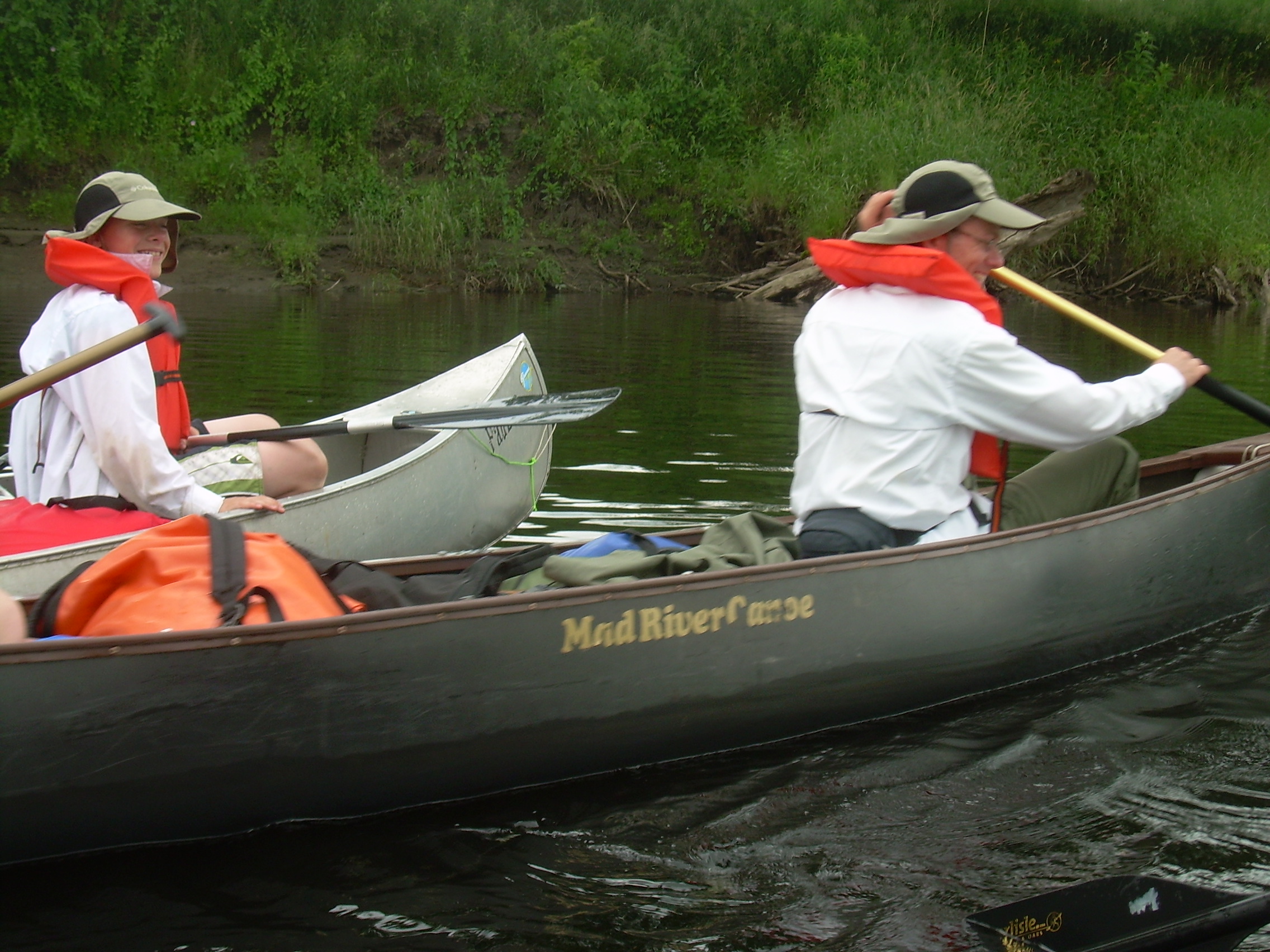
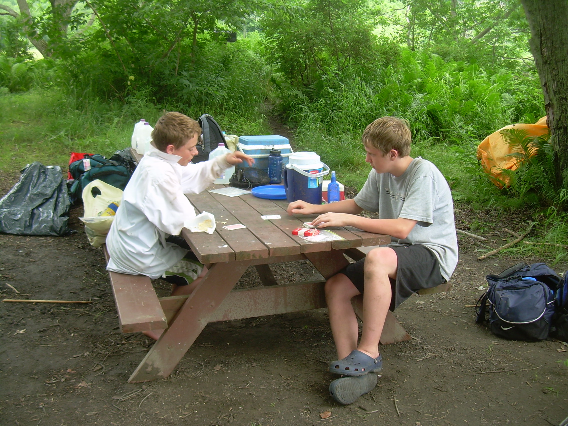
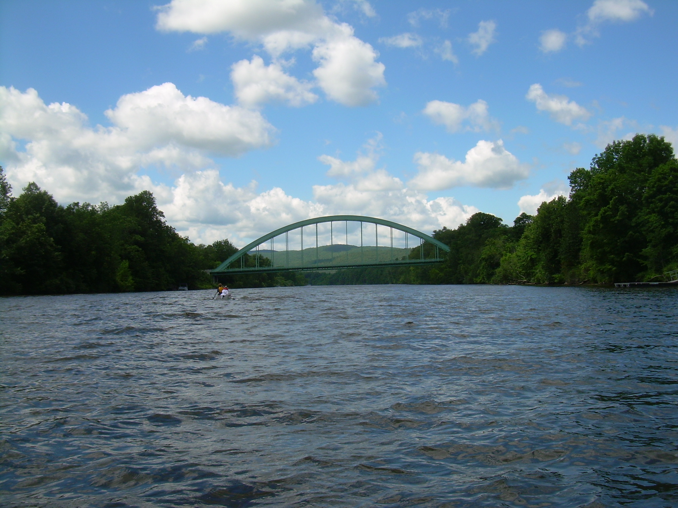
You can always tell the old river hand by the way in which he stretches himself out upon the cushions at the bottom of the boat, and encourages the rowers by telling them anecdotes about the marvellous feats he performed last season.Glen - TimJerome K. Jerome Chris - Fletcher Christian - Ethan Robin - David Again the river crosses a rocky ridge like the narrows of yesterday and then sweeps north in a huge oxbow. I tell the boys that if they would like they could carry their canoe and cargo a kilometer down the road, or stay on the river for four kilometers. They all choose the water way. Past the `Horse Meadows' and then near North Haverhill. We continue past the long oxbow and then past Newbury, VT. Again we tie our canoes together and drift along for lunch. The boys like to point out that we are still making progress even as we ate. I like eating in the canoe because it means you have a reasonable place to sit. I generally lay my paddle blade across the gunwales in front of me and use that as a table. We can also pass around communal food like jelly or summer sausage by putting in on the blade of the paddle and passing it to who ever requested it. It is apparent at this point that we are making good time. Christian and Glen are going out today and Hunter and his father Bill Reed are joining us at Bedell Bridge Park (Haverhill). Christian calls Hanover on his cell to tell them we will be early. The river is meandering between tall and steep banks. On top of the banks are corn fields or occasionally wood lots. But most of the time all we can see are the banks themselves. A lazy day on the water. Glen and I land at one point where an old dead birch tree has been washed up on the bank. We strip off some bark for tonight's fire. This time we will be prepared. There is a race over the last kilometer to the park which the older scouts won. Still, Ethan and Christian kept up a challenge to the end. Bedell Bridge was a curious covered bridge which connect Haverhill, NH and Newbury, VT. Throughout the 19th century it was washed away and rebuild a number of times. However the 1866 bridge lasted for over a century, but was closed in 1968 because of general decay. It was refurbished and reopened in July of 1979 - only to be blown away in September of that same year. All that remains are the stone buttress on the mainland and the center support column in the middle of the river. We have over an hour to wait here for the Reeds, so Ethan, Chris and Fletcher work on there Canoeing Merit Badge skills. David has this merit badge from camp (where he help teach it last summer), and Robin completed it on last summer's Long Trek. So the boys practice dumping canoes, emptying them, paddling in figure eights and paddling to the side. We have time to "mess about in boats",
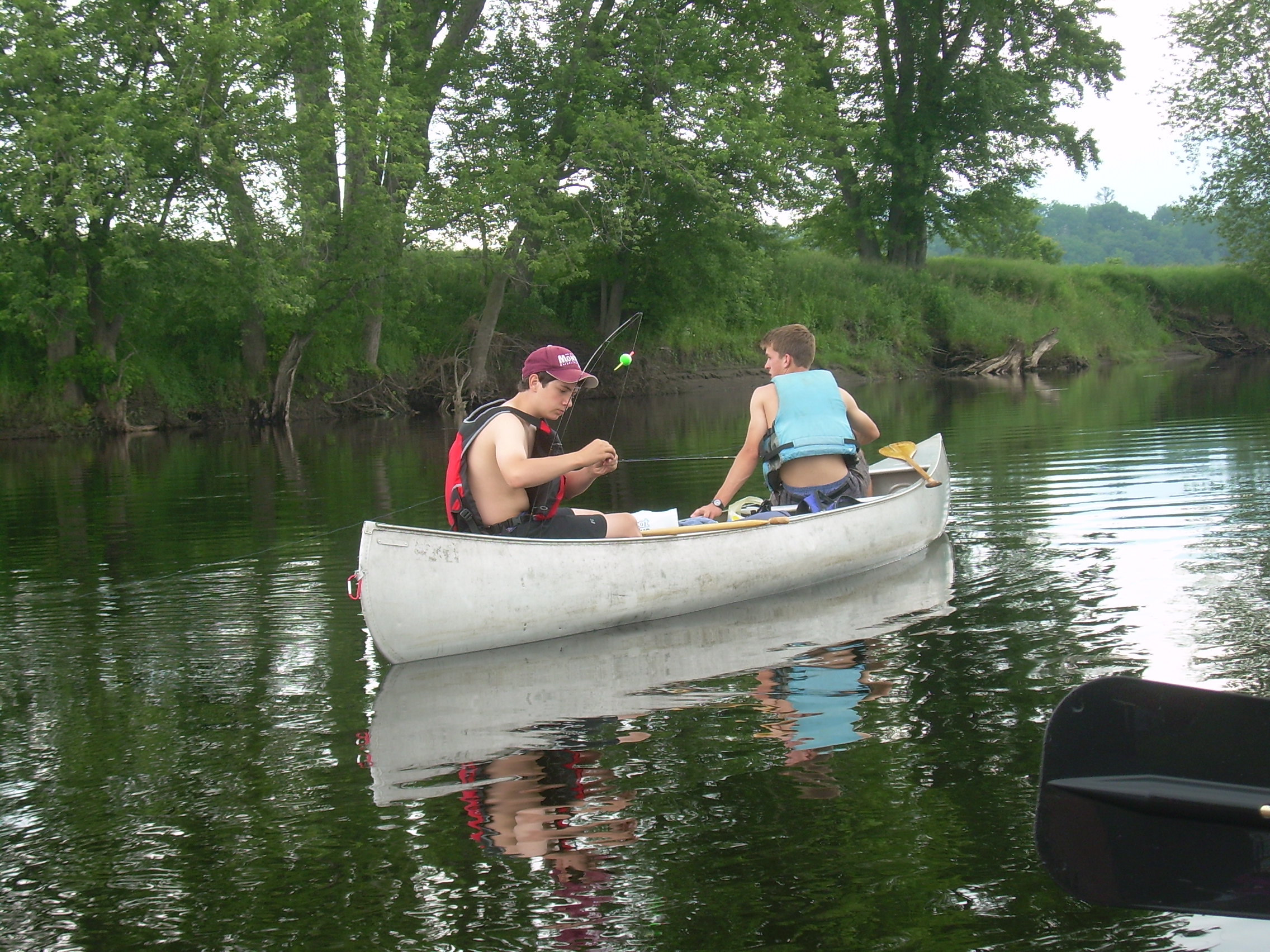
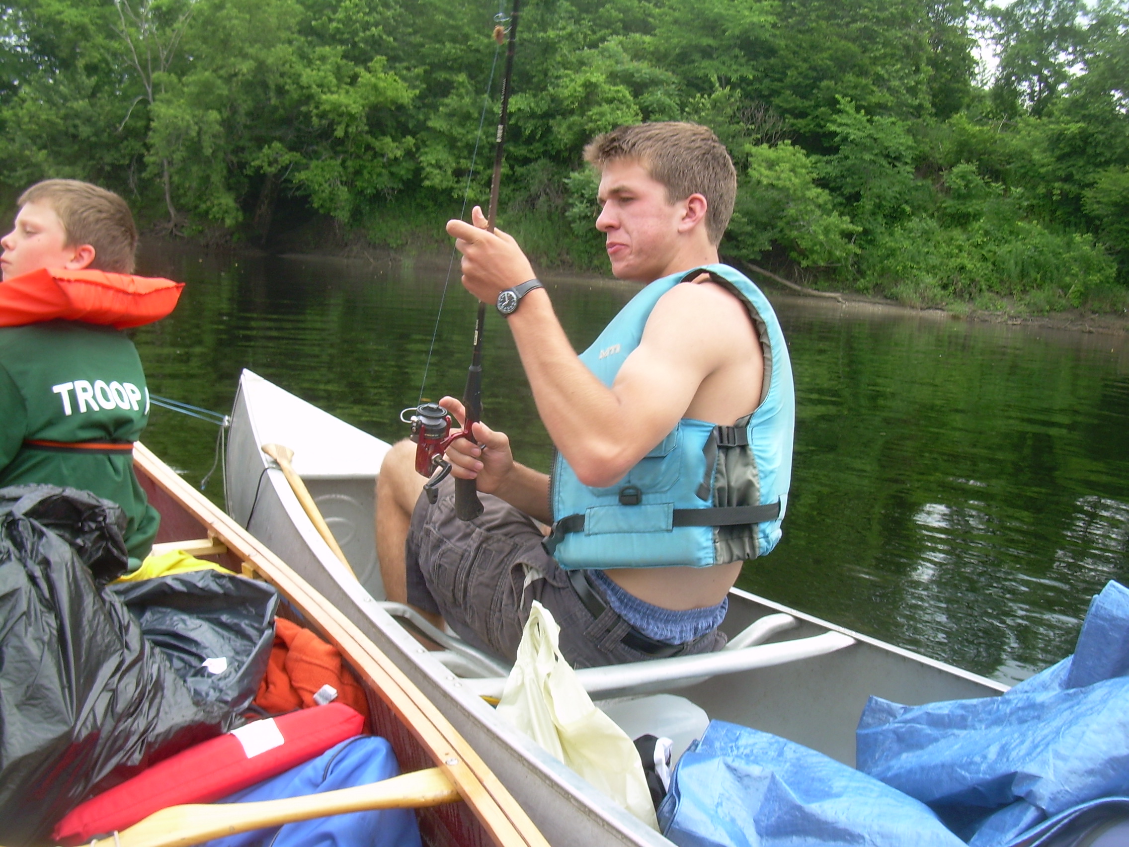
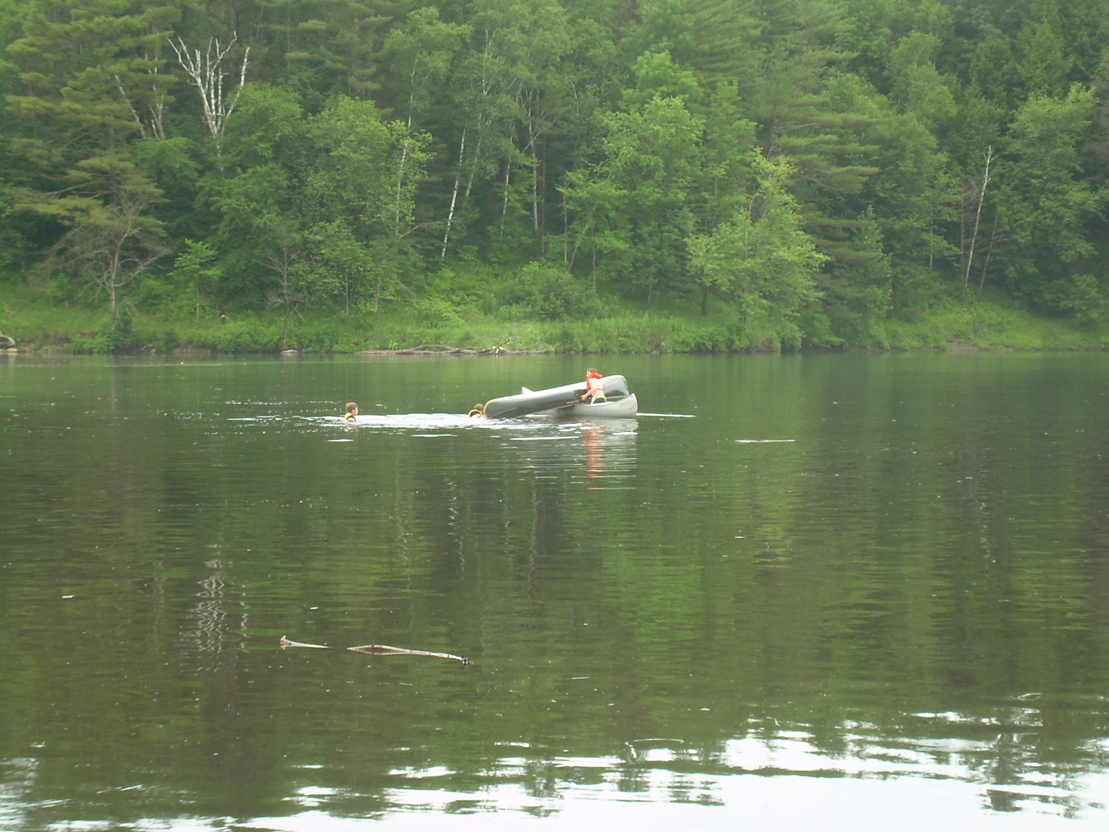
"Nice? Its the only thing." said the Water Rat solemnly, as he leant forward for his stroke. "Believe me, my young friend , there is nothing -- absolutely nothing -- half so much worth doing as simply messing about in boats. Simply messing," he went on dreamily: "messing--about--in--boats; messing---"There are a few guys taking kayaks out at the boat ramp. They tell us that they are camped at Vaughan Meadows with about `twenty guys'. We consult the map to see what our options are if the site really is too full for eight more paddlers. Soon the Reeds join us and we push off into the river. It is only a bit over a kilometer to Vaughan Meadows.Kenneth Grahame There really are about twenty guys camped here. Apparently this is an annual event - some of them have been coming here for eighteen years for five days, the weekend after father's day. At first a few of then are not quite certain what to make of a half dozen boys joining them. This is a group which likes to fish, and then sit around a campfire at night telling tall tales and drinking beer. But then a few of the older campers walk up to me, welcoming us and introducing themselves. It seems that over half of them were scouts at one time and several of them were scoutmasters, and they are happy to have us with them. We find a good unused section of woods at one end of the camping area and set up our site. I think this area must get flooded in the spring, but today we are a few feet above the river. Still the ground feels damp and I am concerned that it will be infested with mosquitoes in the evening. Still it is ten kilometers to the next camping site - so we will just make due. We rig our cook tarps and start a fire. Tonight is hamburger and vegies in foil, cooked in the fire. Later we have a delicious peach cobbler. In the evening the boys try fishing but to no avail.
Some people are under the impression that all that is required to make a good fisherman is the ability to tell lies easily and without blushing; but this is a mistake.We then sit around the fire for awhile. I am surprised that they are almost no mosquitoes - but I am not complaining. Most of us are in bed by 10:00.Jerome K. Jerome
|
|
|
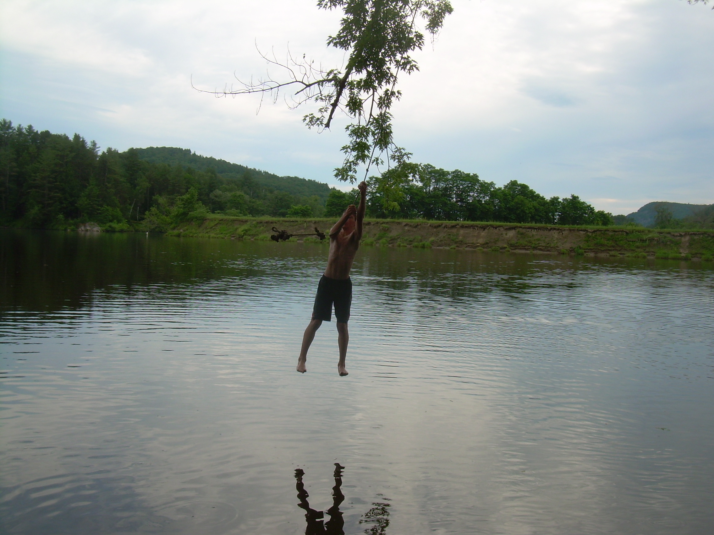
Oxbow Farm - David & Robin |
Robin |
David |
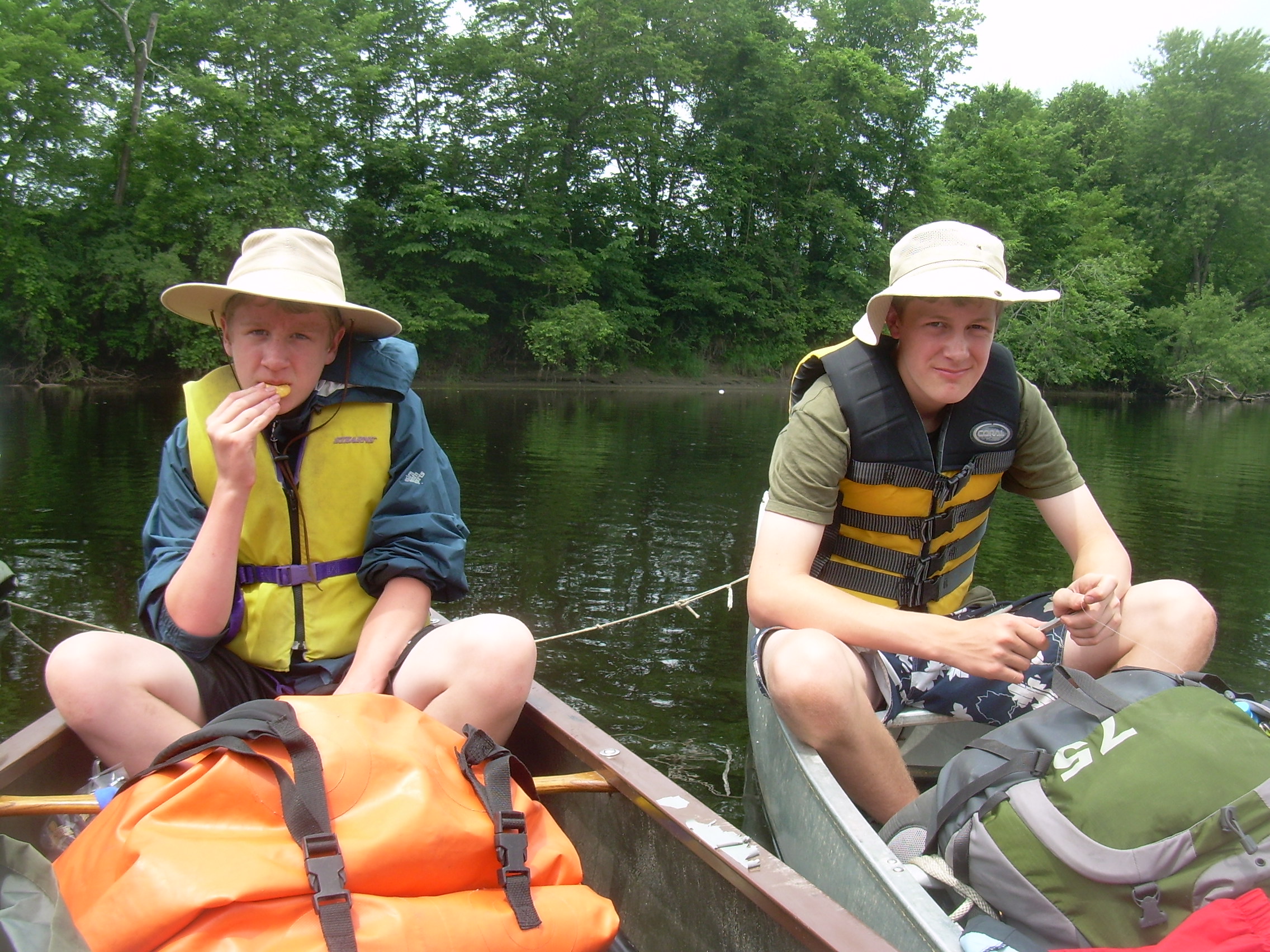
Lunchtime Afloat | |
| Robin at Lunch |
Tim at Lunch |
Ethan & Chris at Lunch |
Robin & Glen |
Bedell Bride |
|
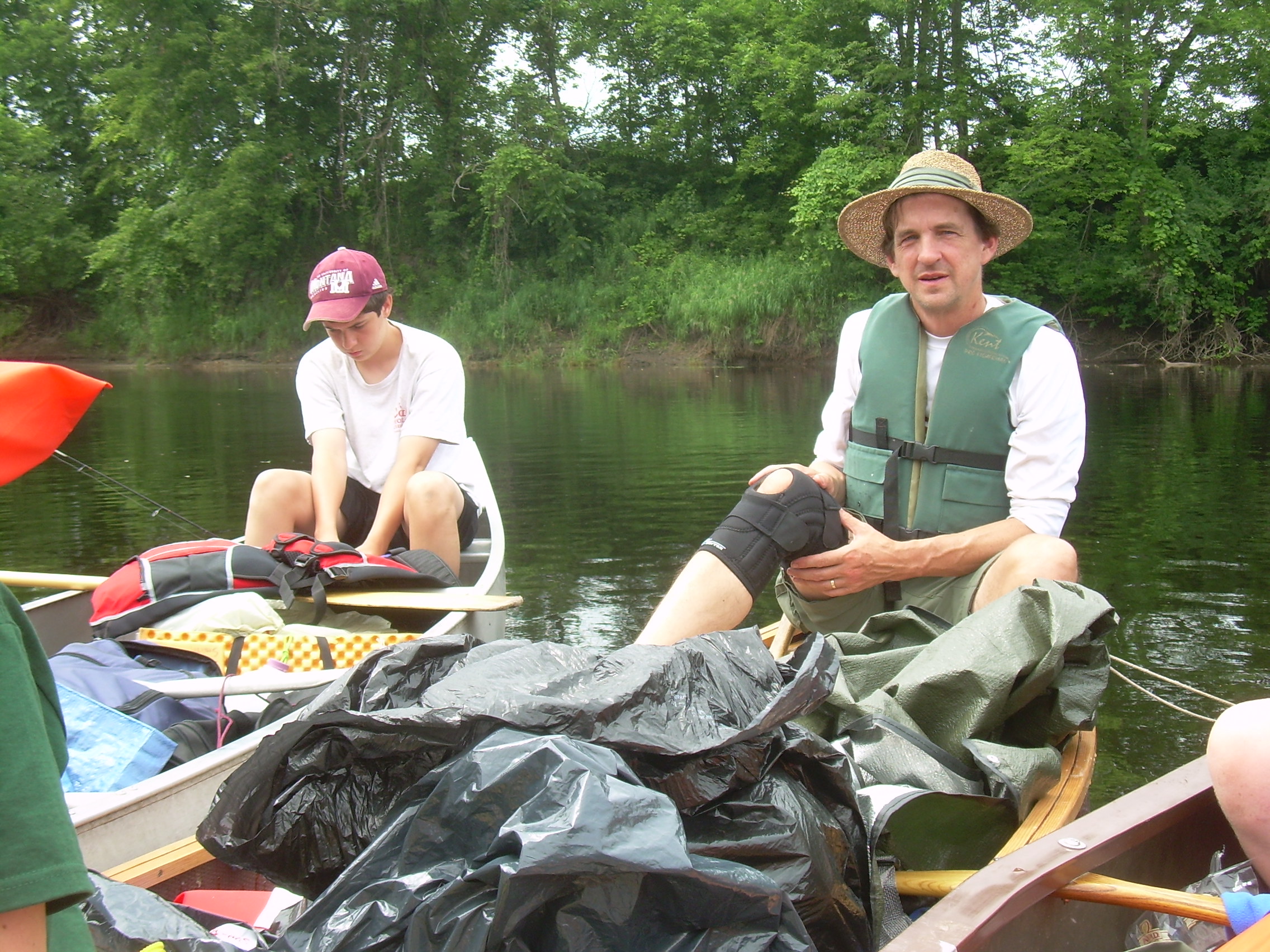
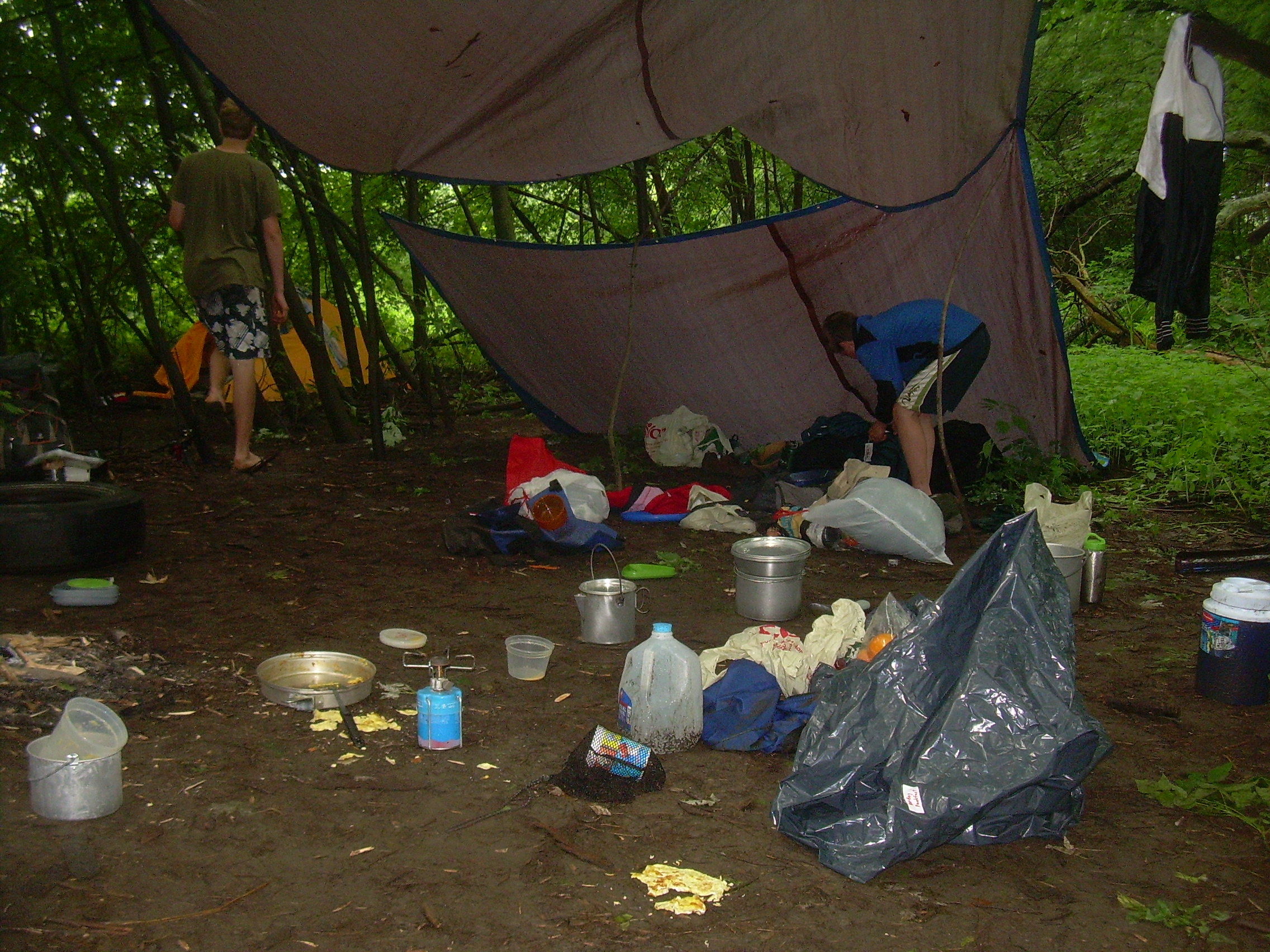
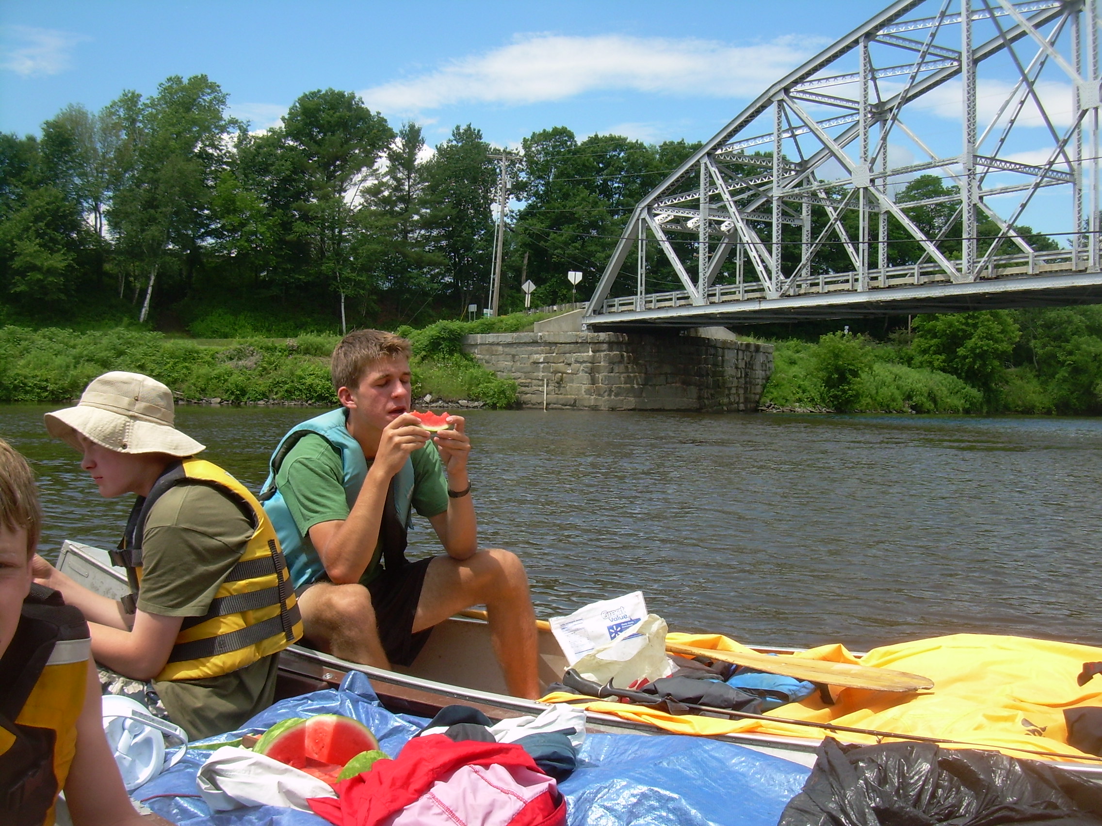
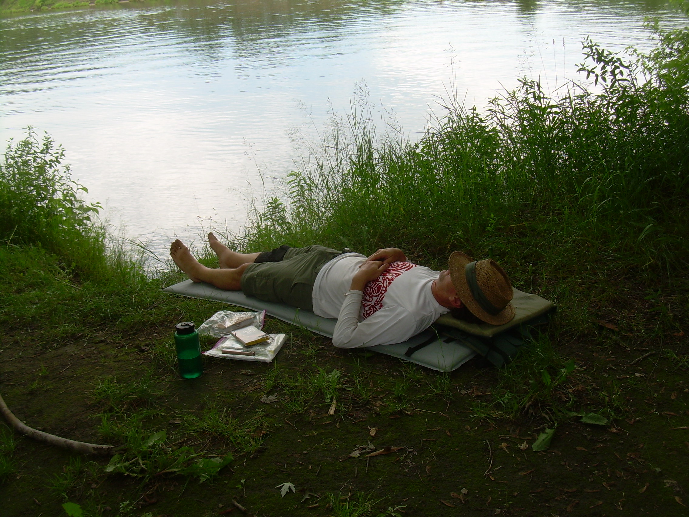
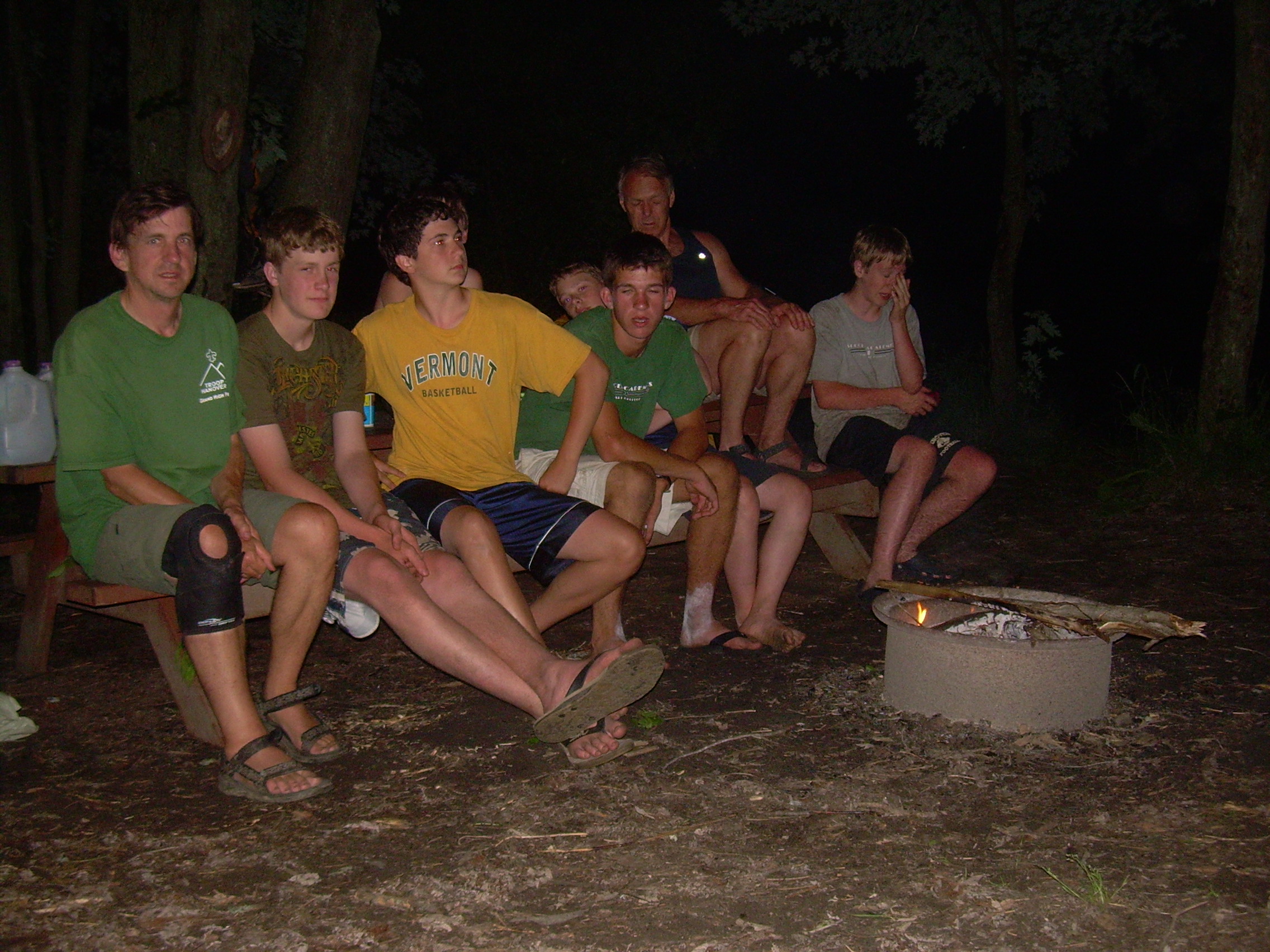
Day 4 - Monday, June 28, 2010 Vaughan Meadows [mile 254] - Underhill Campsite, [245] (Piermont NH) (14 km - 9 miles) I woke up at 4:00 because it was pouring rain. I had left the door flap open and when the wind shifted a bit of rain blew in. So I zipped up the tent door and fell back asleep. I woke up several more times to the sound of pounding rain, but no more came into the tent and so I slept in comfort. I finally got up at about 7:00. There was a light misty rain coming down and I think most of the crew was just too comfortable in there tents and sleeping bags to venture out. There was nearly an inch of rainwater in a pot which had been left out, and everything was spattered with mud. The twenty guys were packing up as I made coffee for Bill and myself. I walked out to check on the canoes. They had all been stored well last night, high on the bank, tipped over with paddles and some life-jackets stored under them (I use my life-jacket as a pillow as do some of the scouts). Eventually our crew emerged from their cocoons and we put together breakfast. The Reeds brought in some fresh food yesterday including eggs for breakfast. But the eggs are still frozen and it is a challenge to thaw them in hot water without cooking them. We also have spam on the side which we sliced and then held on our forks by the fire to slightly grill. Rolling up wet and muddy tents and tarps is never a pleasant task and always takes too much time. Still we are launched by about 9:00 and headed downstream. It rained off and on through the morning, so I spread my ground-cloth over the bags in our canoe. Two canoes used the cooking tarps and the last canoe used the fly off their tent. After an hour on the water there was a bit of blue in the sky. At first just a smudge, a small patch. But as the day warmed and dried the clouds broke up. I was looking for an oxbow cut-off. On my map it showed the river traveling a kilometer around an oxbow. But there was also a 50 meter break through the land. However when we got to that point it appears as if the river now flows through the cut, and the oxbow is silting up and becoming marshy. We were soon at Bradford, where the Waits River joins us from the west. It is only 11:30 and we are making great time. It is only about 5 km (3 miles) from here to the campsite and people are starting to talk about going farther then Piermont today - and maybe going all the way to Hanover tomorrow. But I think Ethan and Chris are dog tired and express no joy at this idea. We tether the canoes to each other as we float under the Piermont-Bradford bridge and have our lunch. We have another watermelon today - which is juicy and with the day turning sunny and warm it is a good thing to munch on. We are becoming experts at these floating feast. An hour later we land at the Underhill Campsite just below Piermont. This site is on a peninsula between the river and the Eastman Brook. Even though the mouth of the brook is marshy, the site is high and dry and bug free. We have a lot of time - the whole afternoon - and there is no longer any talk of continuing to paddle. A little bit of heaven on Earth. We strung a few lines out and hung out stuff to dry. Then most of us set up our tents without flys to allow them to dry. Some locals came down to the point to use the rope swing. Ethan, Chris and Fletcher worked on finishing up their Canoe Merit Badge. After watching them I sat back on the river bank and read my book for an hour. Our guys them took over the rope swing for awhile. A great time was had! Dinner was chicken and corn chowder, and later we had apples baked in the fire. This was our happiest crew! We all sat around the fire and the scout sang long into the night. Everyone stayed up until we ran out of firewood a little after 10:00. When everyone else wandered off to their sleeping bags I sat by the river for awhile. What a happy crew! Have we achieved a bit of that `Esprit de Corp' which I think is so important? We may be happy to be together but right now I don't think we are being tested. That uniting spirit I am looking for is really more apparent at adverse times then in good times like these. Still, I'll enjoy the community which we have build here on the waters the last few days. The stars are out tonight! The river is so calm you can see their reflections on the water.
Sometimes we'd have that whole river all to ourselves for the longest time. Yonder was the banks and the islands, across the water; and maybe a spark- which was a candle in a cabin window- and sometimes on the water you could see a spark or two- on a raft or a scow, you know; and maybe you could hear a fiddle or a song coming over from one of them crafts. It's lovely to live on a raft. We had the sky, up there, all speckled with stars, and we used to lay on our backs and look up at them, and discuss about whether they was made, or only just happened- Jim he allowed they was made, but I allowed they happened; I judged it would have took too long to make so many. Jim said the moon could a laid them; well, that looked kind of reasonable, so I didn't say nothing against it, because I've seen a frog lay most as many, so of course it could be done. We used to watch the stars that fell, too, and see them streak down. Jim allowed they'd got spoiled and was hove out of the nest.Mark Twain |
|
| Scoutmaster Resting |
Robin & David |
Fletcher & Ethan |
Ready for Rope Swing |
Rope Swing |
| Canoe Merit Badge |
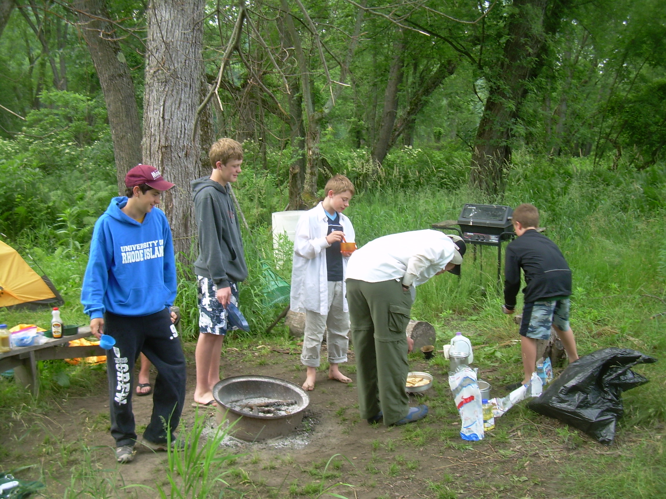
Cooking |
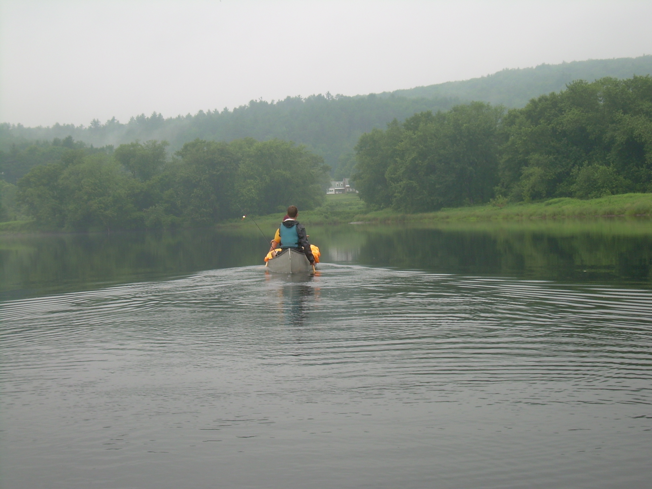
The River |
Lewis & Clark |
Happy Crew |
| Campfire |
Campfire |
|
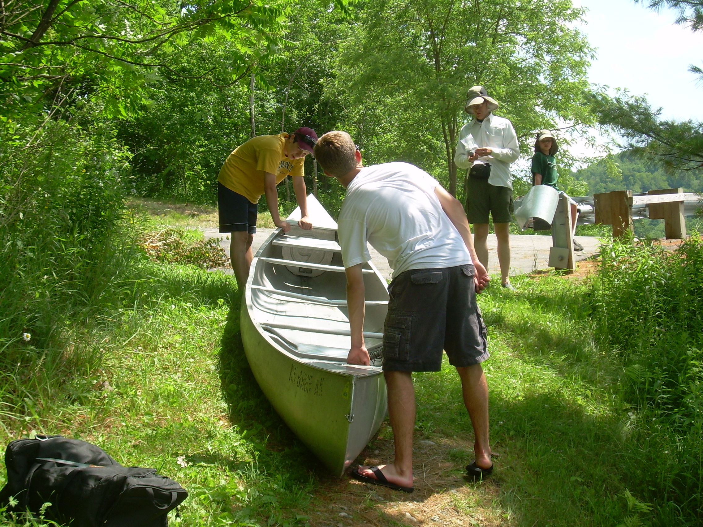
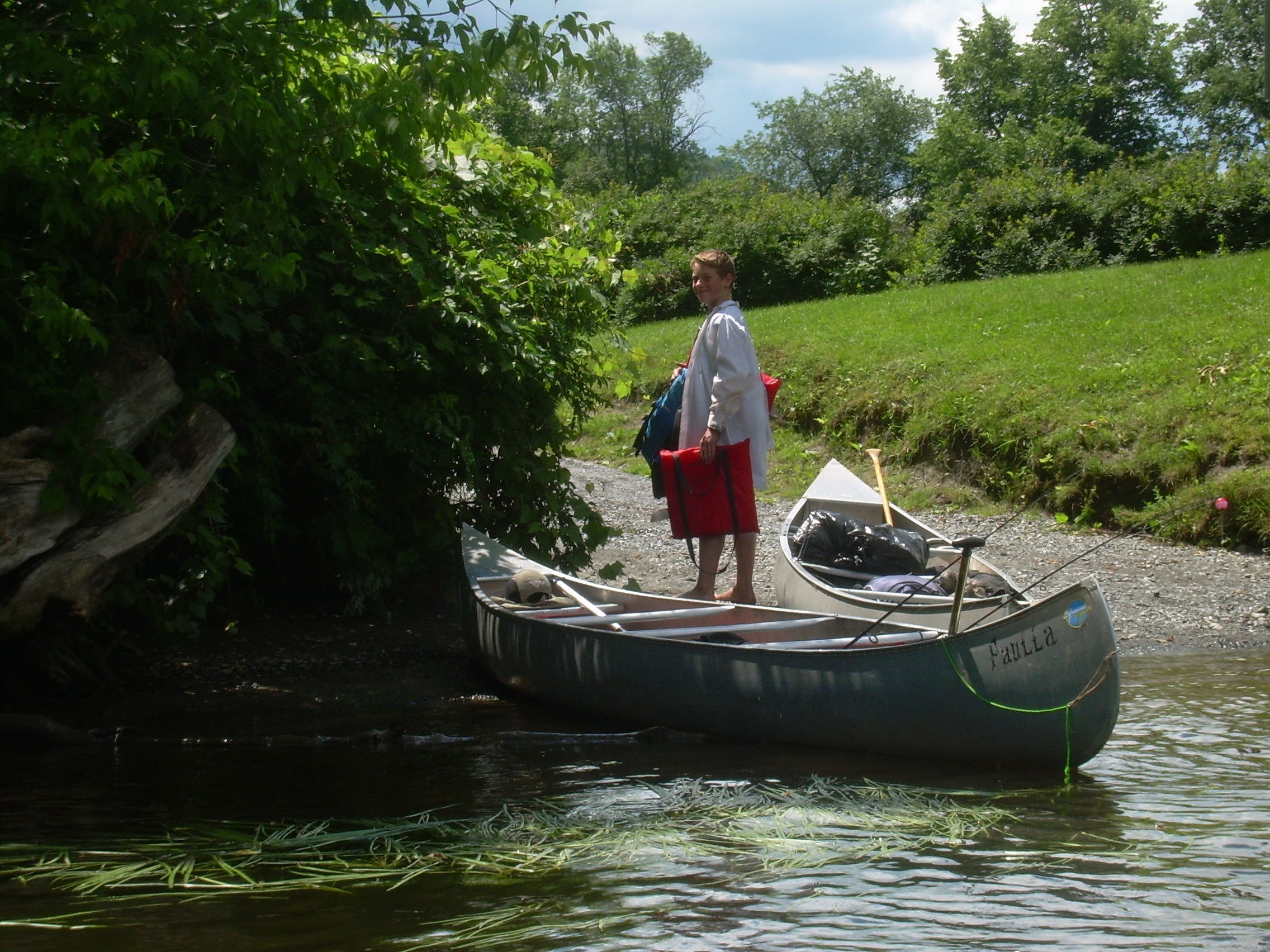
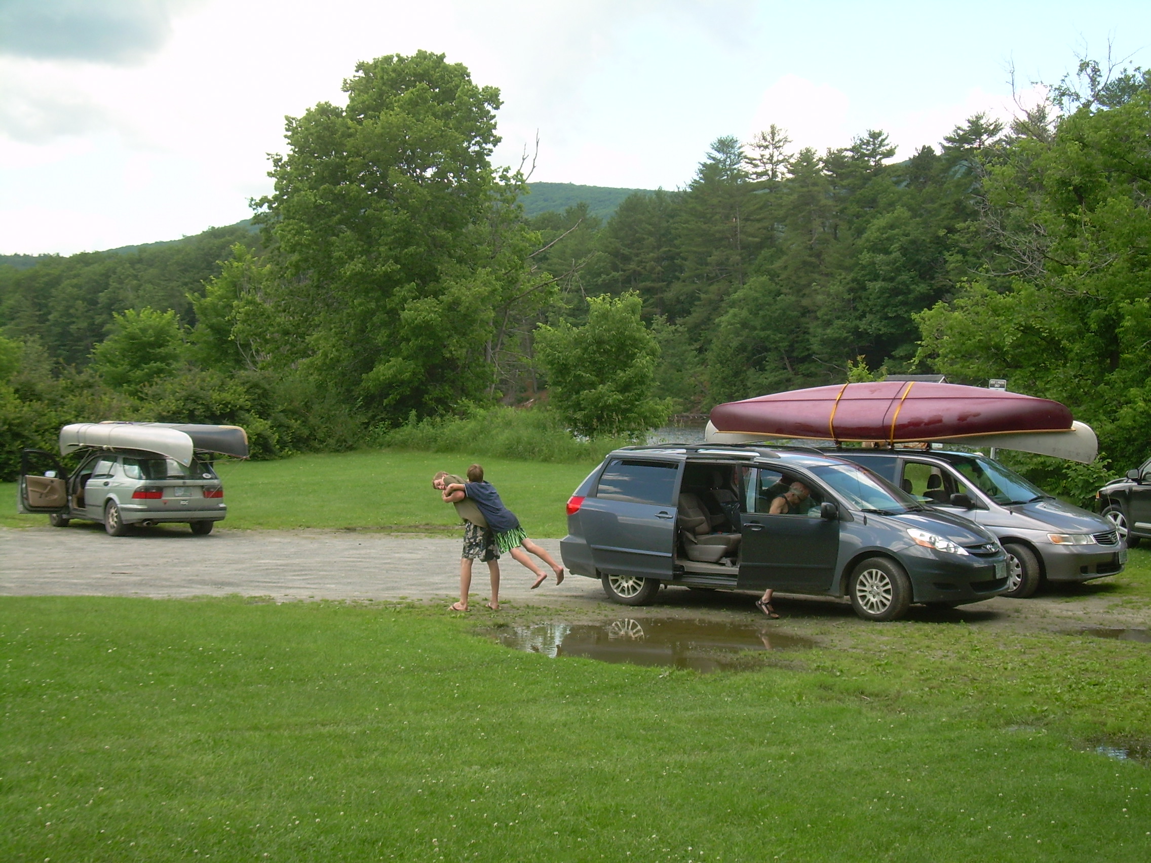
Day 5 - June 29 Underhill Campsite [mile 245] (Piermont) - Orford [239] - Home (10 km - 6 miles) I heard a bump and the spilling of aluminum pots in the dark. But that was soon followed by the sound of a tent's zipper. One of the scouts was up in the middle of the night. Later I woke at about 4:30. The moon was bright and the nightscape gorgeous. Fields, marshes, river and woods. This is a very lovely campsite! I was really up at 7:00 - which is a bit of a lay-in. I brewed a good strong cup of coffee for Bill and myself. Fletcher was up soon after that, and then one by one the rest of the scouts. The main dish of breakfast is oatmeal. To me this is a staple of trail breakfasts. It is quick, hot, good and simple to cleanup afterwards. This morning is a bit different. This is our last meal on the trek, so all remaining food is up for grabs. That meant more hot chocolate, raisins, dried cranberries, apple sauce and maple syrup. We sort through the food, something we should have done before we packed at Vaughan Meadows - but it was too wet to tarry there. We pack up our edible remains and were on the water by 9:20. About 3km later we passed under a cliff face. This is part of the formation which passes through Fairlee. There are bird soaring high overhead. I think they must be the Peregrine Falcons which I have heard had reestablished themselves here. But they are so high up it is hard to see them. The day is sunny and bright and a real pleasure. There is a rock by the side of the river which someone has painted like a shark with eyes and teeth. Bill and I both agree that it was not graffiti - but rather a spark of humor if not art. I am in the bow of a canoe for the first time on this trip (except for short stretches with Glen), and Bill has the stern. I know that he has had a lifetime of navy experience but a canoe is different then most other boats, its power source is asymmetric. But I think Bill was born to be in a canoe and we steadily glide down the river. About 3km before our landing we hold up a bit and regroup and have a food break. The wind is starting to come up a bit. As we round a bend and see the steeple of Orford and then the Orford-Fairlee bridge the wind comes full in our face for the first time of the whole voyage. Up to this time we have been able to easily paddle a kilometer in 15-20 minutes every since East Barnet, sixty kilometers ago. So these last three kilometers prove to be the hardest reach of the whole voyage, with our pace dropping to 20-30 minutes/km. The river has developed a real chop with the occasional wave coming up to the gunwales as we passed under the bridge. Earlier on in the day the Chris-Ethan canoe and the Fletcher-Hunter canoe were playing tag and bumping each other in fun. But now with a bit of serious water and waves I am happy to see that the scouts recognized the challenged and focused on crossing the last kilometer from the bridge to the landing safely. And finally we have all landed. Within two minutes of our last canoe landing Adina Desauliners has arrived - twenty minutes early, and we start to unpack canoes, sort gear, tie canoes on cars and pack equipment into the cars. The Gormans arrive a little bit later with two vehicles, one for canoes and one for people and equipment. We had one last `Thorns and Roses' session and I give my last Scoutmaster's Minute, where I tell each scout individually how much I enjoyed their company. I also tell the whole crew that I think they are a good bunch. Then at 12:40 we closed Long Trek V, and left to go home.
|
|
| Shark Rock |
Ethan & Chris |
Fletcher & Hunter |
Bill & Fletcher |
Orford-Fairlee Bridge |
| Orford Landing |
Trek's End |
All Packed Up |
|
Postscript
Life in a boat, floating down a great river. There is nothing
quite like it. It has often been said that Huckleberry Finn is the
great American novel, because it winds through society. But it
winds through the country because it rides on the back of a serpentine
river - the Mississippi. And the Mississippi is a symbol of freedom,
not only to Jim, the run-a-way slave, but to Huck Finn as well.
Rivers and river trips have that special freedom.
I never felt easy till the raft was two mile below there and out in the middle of the Mississippi. Then we hung up our signal lantern, and judged that we was free and safe once more...We said there warn't no home like a raft, after all. Other places do seem so cramped up and smothery, but a raft don't. You feel mighty free and easy and comfortable on a raft.Life afloat - life on a great river.Mark Twain
Tim Smith |