|
Rio Grande Raft Trip
| |||||||||||||||||||||||||||||||||||||||||||||||||||||||||||||||||||||||||||||
Taos - Los Rios River Rafting's Boathouse / John Dunn Bridge / Taos Box / Taos Junction Los Rios River Rafting's "boathouse" is buzzing with activity at 8:15 when we arrived. When I think of a boathouse I have visions of rowing shells and elegant brick pavilions next to the Charles River, or white clapboard sheds filled with musty old ropes balanced on rocks over the cool waters of Lake Willoughby. Boathouses are suppose to be cool retreats from the hubbub of life. But not at Los Rios.
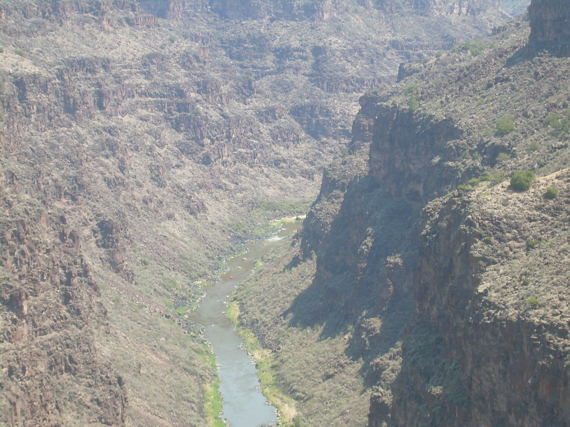
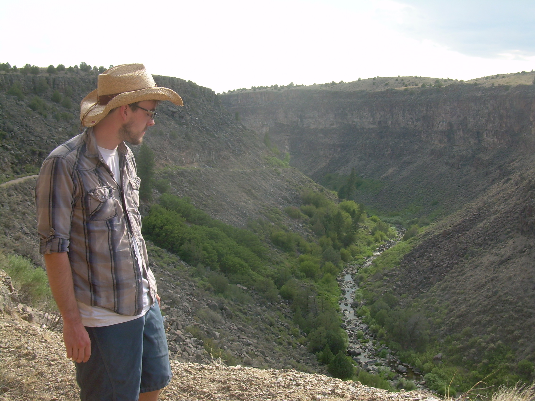
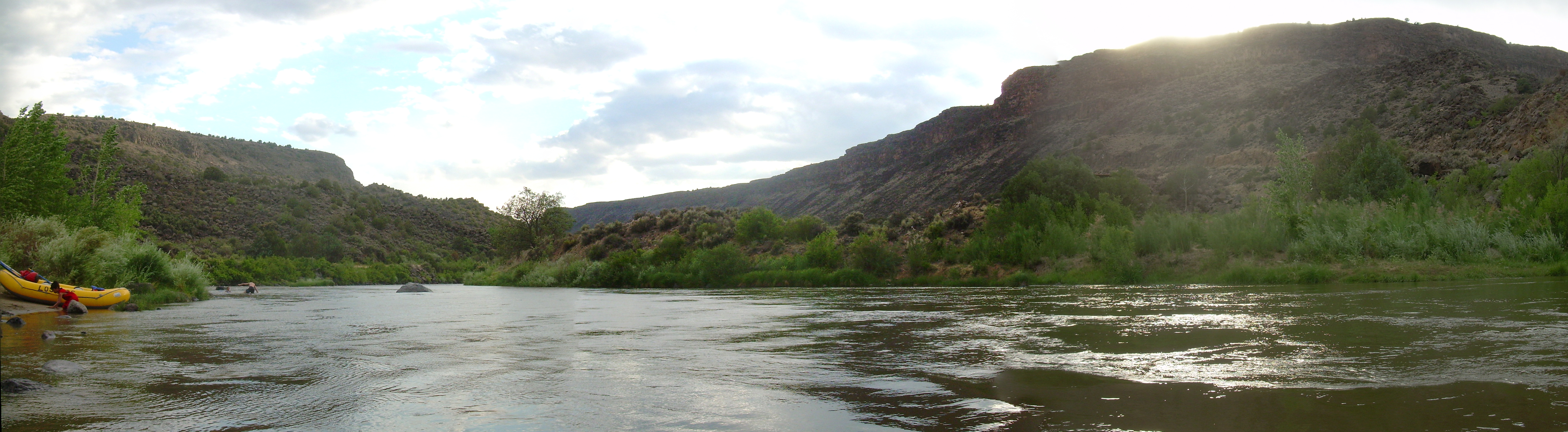
To my eye the scene was closer to that of a rodeo or a cattle drive then a boat outing, with swirls of dust and the golden light of early morning in New Mexico. There is the corralling of rafts and trucks. Voices are calling to watch out for ropes being tossed over the rafts and trailers. The ropes are cinched down with "teamsters knots", and the riders shepherded onto the bus. There was a quick discussion between "Cisco", the owner of this operation, and his guides about a missing client, which ended when a car, chased by a cloud of dust, came bouncing down the dirt road to the boathouse. At 9:00, almost exactly, order rose from chaos and we were off. Our bus headed north through Taos. It is an old school bus and there is the feeling of a school field trip with people trying to talk above the roar of the engine and the wind blowing through all the windows. We get off the highway onto a dirt road called "Los Rios", "The River". Right here there is no evidence of "The River", or "A river", or even is creek or trickle. We drive across miles of sage brush flats, as far as the eye can see. Except, a mile or so out there appears to be a line of rocks, just barely perceptible. However, as we approach it, this line grows. First it is just a cliff face, stretching north to south to the horizon, but then we can see it as a great crack in the earth. A crevice, a chasm, a canyon.
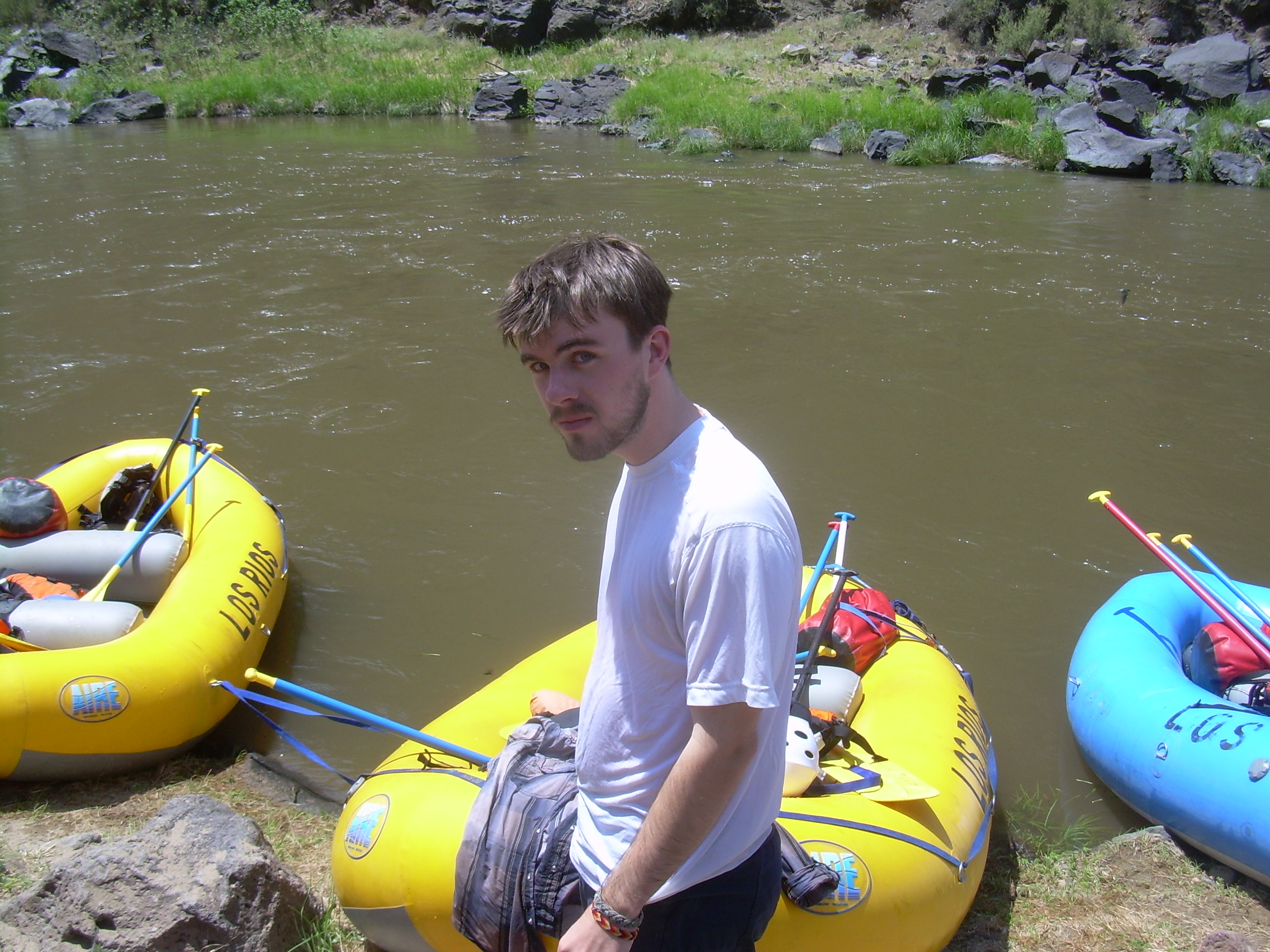
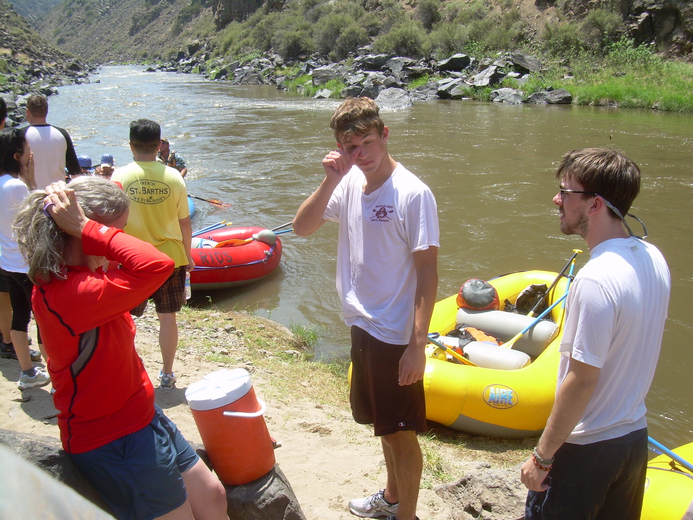
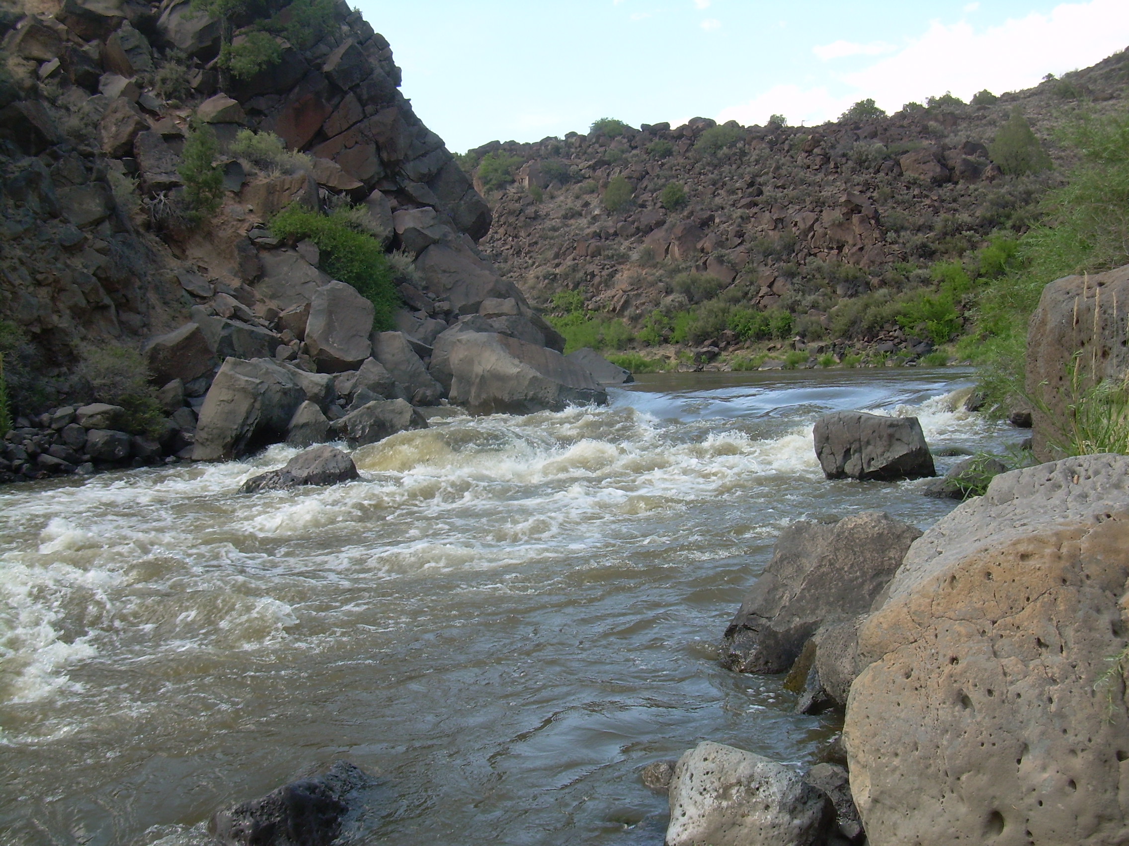
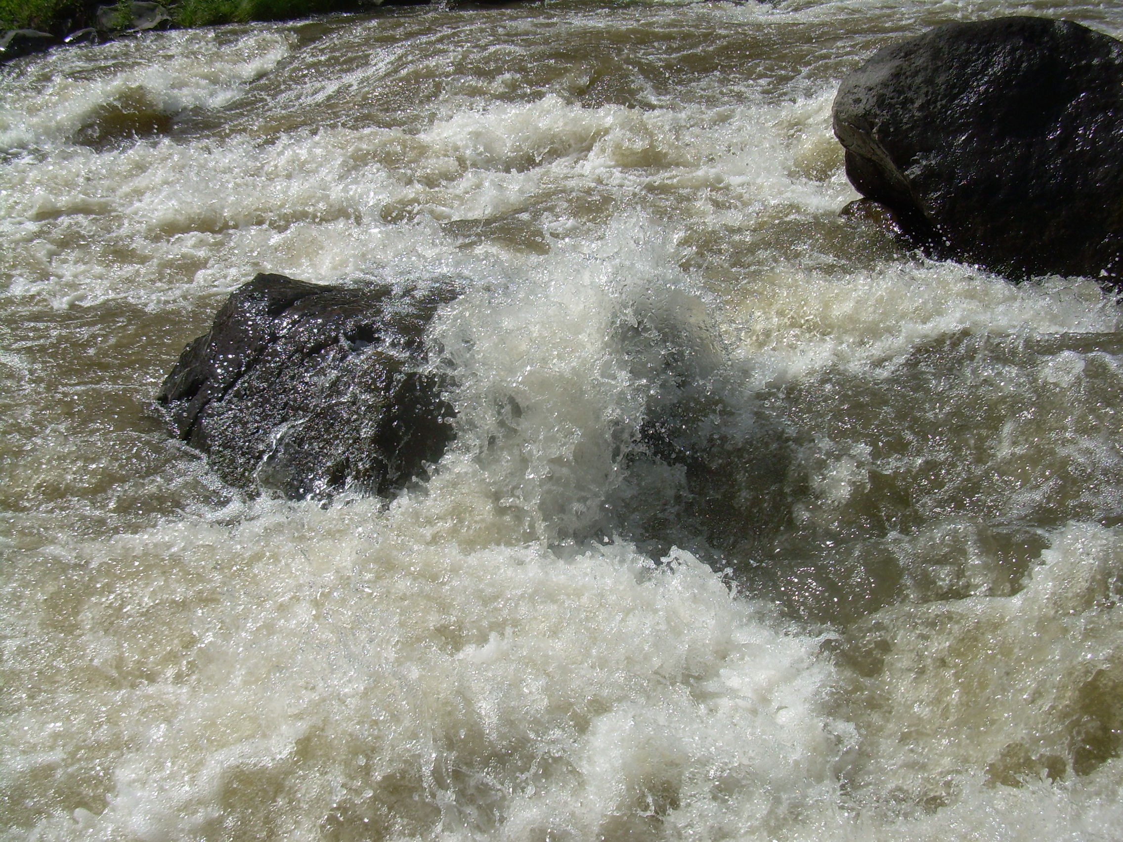
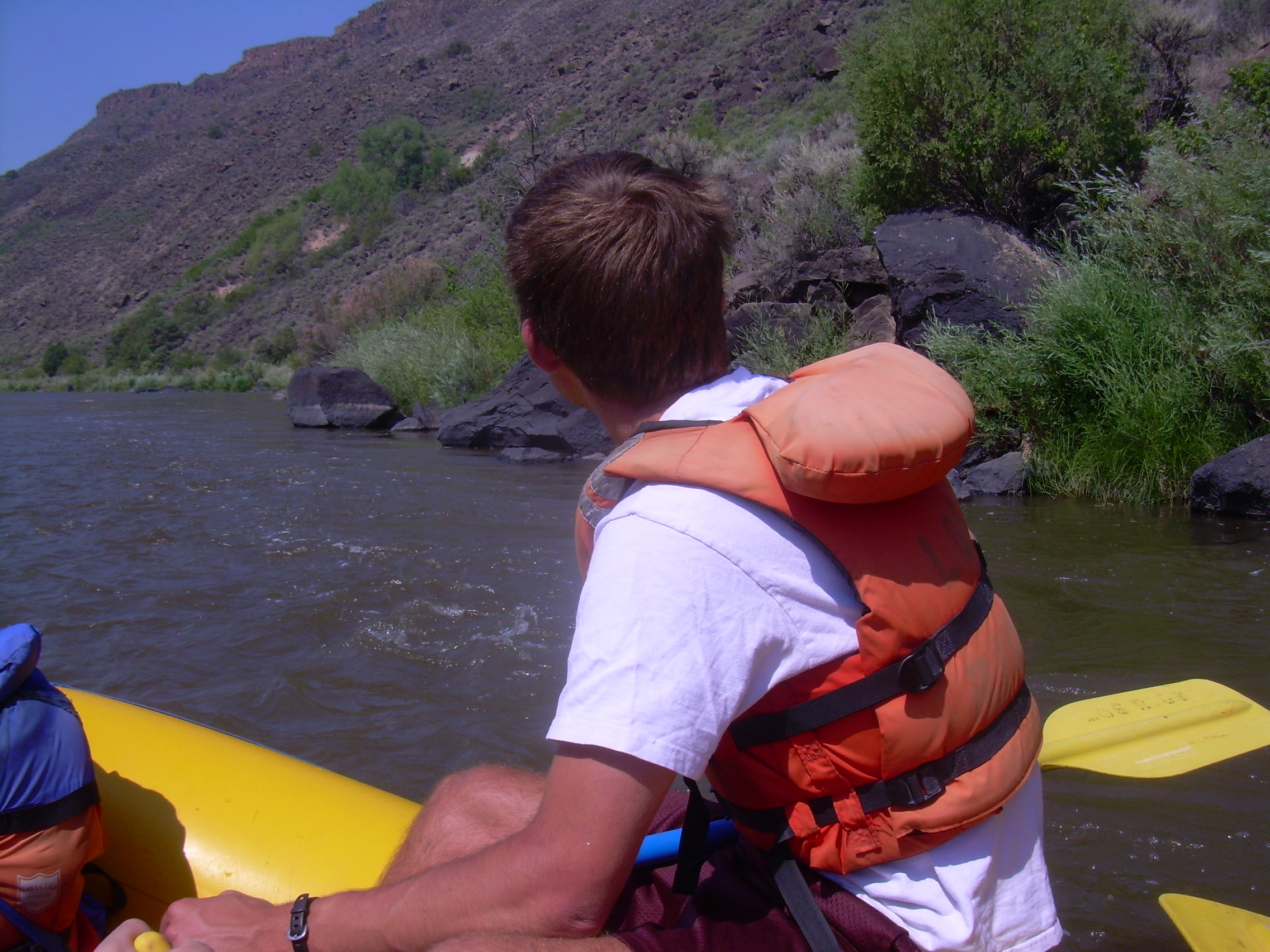
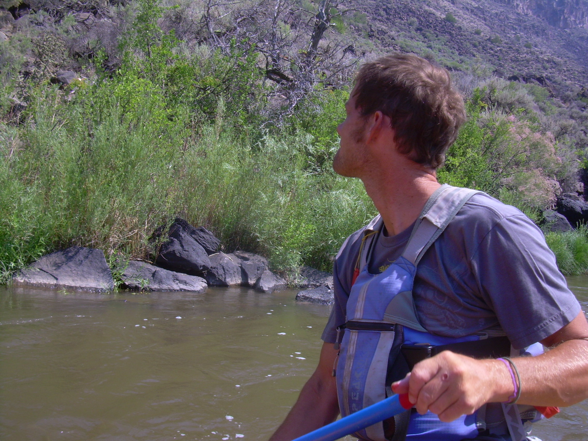
Again there is a great bustle of activity and guides unload the rafts, lash picnic coolers in place and double check life vest. Our flotilla consist of seven boats today. There are three big blue rafts which can carry six passengers and a guide. There are also four smaller rafts, two red and two yellow, which can carry four passengers and a guide. Ours is a yellow raft. All the other rafts and people are doing just a day trip, the Taos Box, from John Dunn Bridge to Taos Junction. Patrick, our guide, is one of the senior guides and so got our crew, the overnighters. I think he also immediately sensed Kristina's hesitation. We will be going through some Class III and Class IV rapids today. Right after we launched many of the other rafts were practicing maneuvers which their guide tells them they might have to do if they got in trouble. Those guides were regaling their crew with stories of things gone wrong. Patrick instead treated the raft orientation much like a flight attendant explaining "in the unlikely event of a water landing..." We were not going to get into trouble and dashed upon the rocks -- so just enjoy. Most of the river we will float down is under the control of the Bureau of Land Management (BLM), which seems to control most of the water in the west. In our case their are the ones who say class IV needs helmets. Our first real rapids is Ski Jump (III+). But there is a little one with a similar shape ten minutes before and Patrick had us practice listening to his commands. In all the two days on the river I think he only used four commands: "Ahead", "Two forward", "One Back hard", and "Stop". Our raft is about twelve feet long and five feet wide, not even as long as my canoe. With the four of us a bit forward of center, and Patrick balanced on the stern, he has all the control he needs to steer with. We just provide a bit of momentum. Finally we hit Ski Jump, our first real rapid. Like many of the rapids we will encounter, Ski Jump is there because of the debris which has washed down a side canyon from the west. The seven foot drop, in our twelve foot raft is quick and leaves us all wet and smiling. We rounded a corner in the river and came into the sun and were soon dry again. Around the corner also brings us within sight of the Rio Grande Gorge Bridge. There are rapids under this bridge and the river guide book describes them as
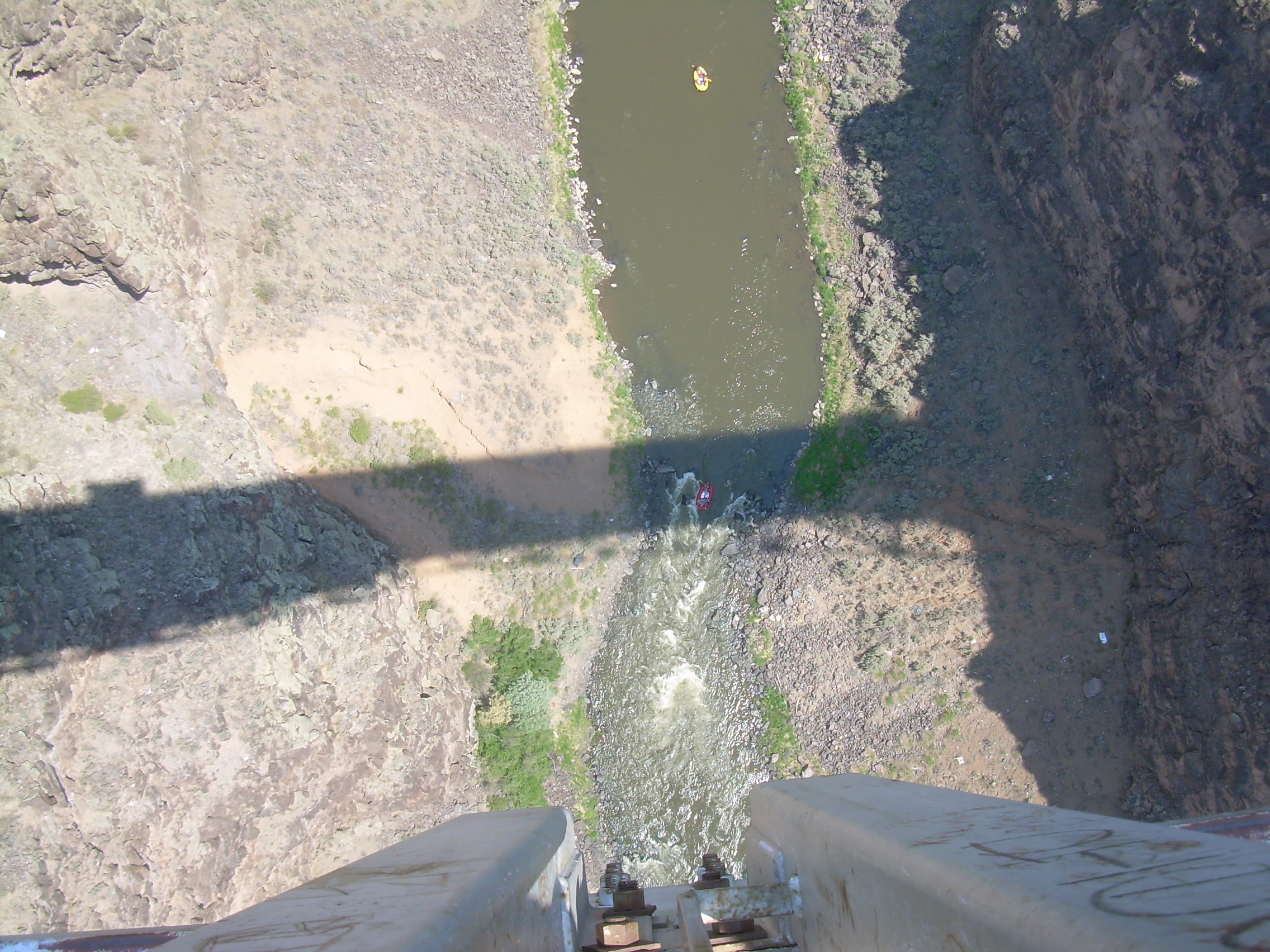
"Bridge rapid, a.k.a. Trash Falls (III), 6-foot drop. This would be great fun except for the constant worry that someone might drop something on you from the bridge 650 feet above. This is the third highest bridge in the United States."Around the Gorge Bridge there is a lot of junk. Bits of cars and busses have been hurled into the gorge. The river guides (or "river rats" as Edward Abbey calls them) have taken the flotsam and jetsam as a excuse to spin complex yarns for their clients. Patrick started on a tale which explained the bits of the school bus and a dirt-bike half way down the cliff face. His tale involved nuns and Rodriguez Knievel. I think he quickly realized that we weren't buying it when we started embellishing the tale too.
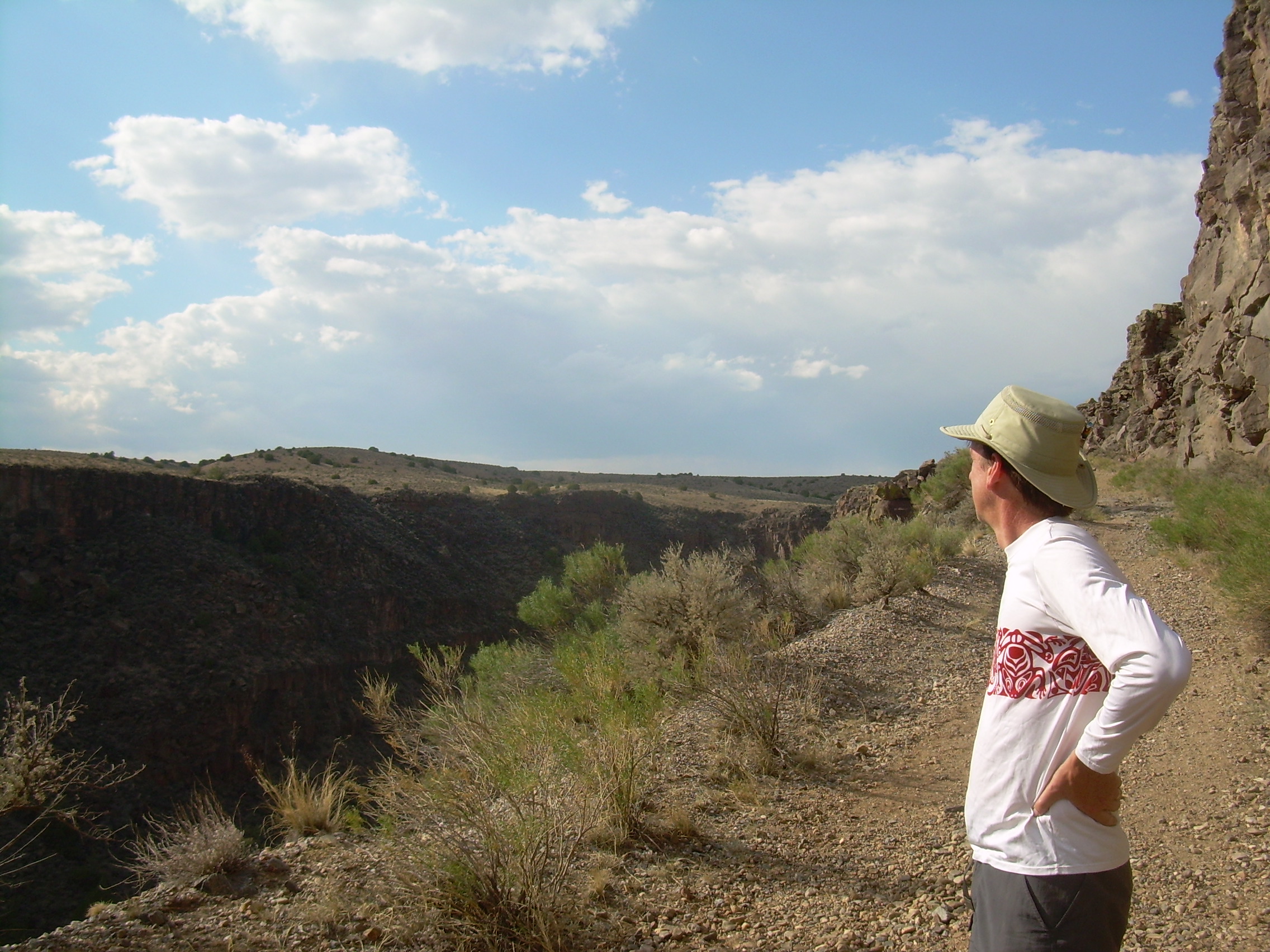
I am not certain when the guides ate, but by the time I finished my lunch they were nearly finished cleaning up and stowing everything away. The next section of the Taos Box is called the "Playground", a lot of class II rapids to play in. By the time we got to "Dead Car" rapid I think Kristina was relishing the plunges. I think Patrick had also displayed his experience and command of these rapids. As we approached he would read the swirls and set his line. If we went into a rapids sideways or even backwards it was because at some point there was an eddy which would twist us just before the major drop, and so we always came out facing forwards. One of the things which makes a raft trip fun are the names of the rapids. "Ski Jump", "Pinball", "Boat Reamer", "Dead Texan Hole". Some were a bit more obvious: "Bridge" and "Powerline rapid" can be understood by looking up. "Lemonade" is named after a guide so casual that while going through this rapid, he would set down his paddle, and sip on something cool. "Screaming Left-Hand Turn" is also called "Enema" is a class IV near the end of the day. By the time we got there Kristina was practically calling our "Bring them on!". "Thank God Eddy", "Walt's Fishing Hole" and finally "Sunset Rapid" a class IV with an eight-foot where the Rio Pueblo joins the Rio Grande and ends the trip for today. We land 200 meters later at Taos Junction. All the other rafts pack up and head back to the boathouse, but we are camping here tonight. We are also joined by Seth, one of the junior guides who has carted in the camping equipment and helps set up camp and cook. It is mid afternoon so they set out a "snack" for us: cheese, pepperoni, bread and crackers, ice tea and more to drink. If you leave bread out in the sun in a few minutes it becomes a cracker. Our campsite is great. It is in an island of shade about 100 meters from the river. We have two big, 4-person tents, one for the boys and one for Kristina and myself. We set them up without the rain-flies, and were supplied with thick air-mates. Patrick camped by himself someplace hiden from his clients, and Seth slept on a platform on top of the van. Taos Junction gets its name because there is a side canyon here where the Rio Pueblo flows into to Rio Grande. In centuries past El Camino Real, the Spanish Royal Road, came up the canyon from Santa Fe, crossed the river and headed to California, and here there was junction with a side road to Taos Pueblo. Kristina and I walked down to the convergences of the rivers and sat in the shade of the Willows, Tamarisk and Russian Olives with our feet in the water. Robin went swimming at the beach where we landed our raft. There were some people jumping from the bridge which crossed the river, much higher then I would jump. Perhaps 30 feet? The old road to Taos is now a jeep track, and where part of it is buried from a landslide, a hiking trail. In the late afternoon Will and I walked up to the rim of the canyon on this trail. It was a pleasant walk and time to talk.
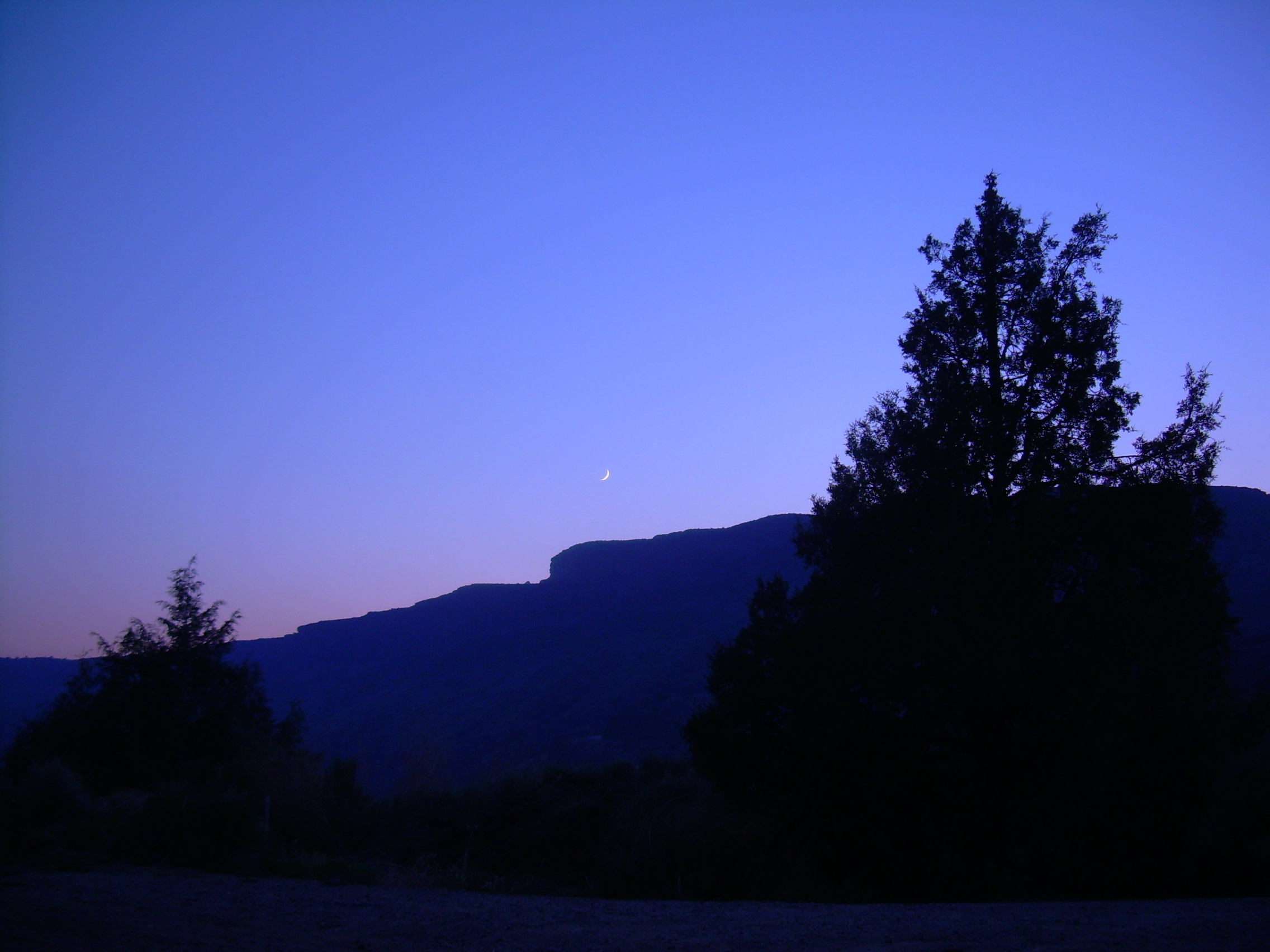
We return to camp just in time for dinner. Pork loin wrapped in bacon, fish, southwest bean salad and shrimp! Later there is pound cake with whipped cream, strawberries and blueberries. Red, White and Blue - in recognition of the Forth of July (tomorrow). We told Patrick that there was way too much food. He told us that these trips are often called, "Float and Bloat". We sit and watch the sun set, and soon there after the moon set. There was a new moon two nights ago. Will and I walk back up the Rio Pueblo Canyon to be in total darkness. The sky is so black that the Milky Way really does remind one of a spill of milk or a silver river. But what makes tonight's view unique is the way it is framed by the black, invisible rim of the canyon. Coyotes yipped in the distance.
Monday, July 4th, 2011 Taos Junction / County-line boat launch In the morning I could see sunlight on the western rim of the canyon long before it touched our campsite. Shortly after I crawled out of my sleeping bag Patrick appeared from his hiding place in the bushes and brewed a massive pot of coffee. He called it "cowboy coffee", I would call it "hobo coffee", loose grounds boiled in the pot, which are let to settle although you may still want to strain them with your teeth. I enjoyed that first cup.
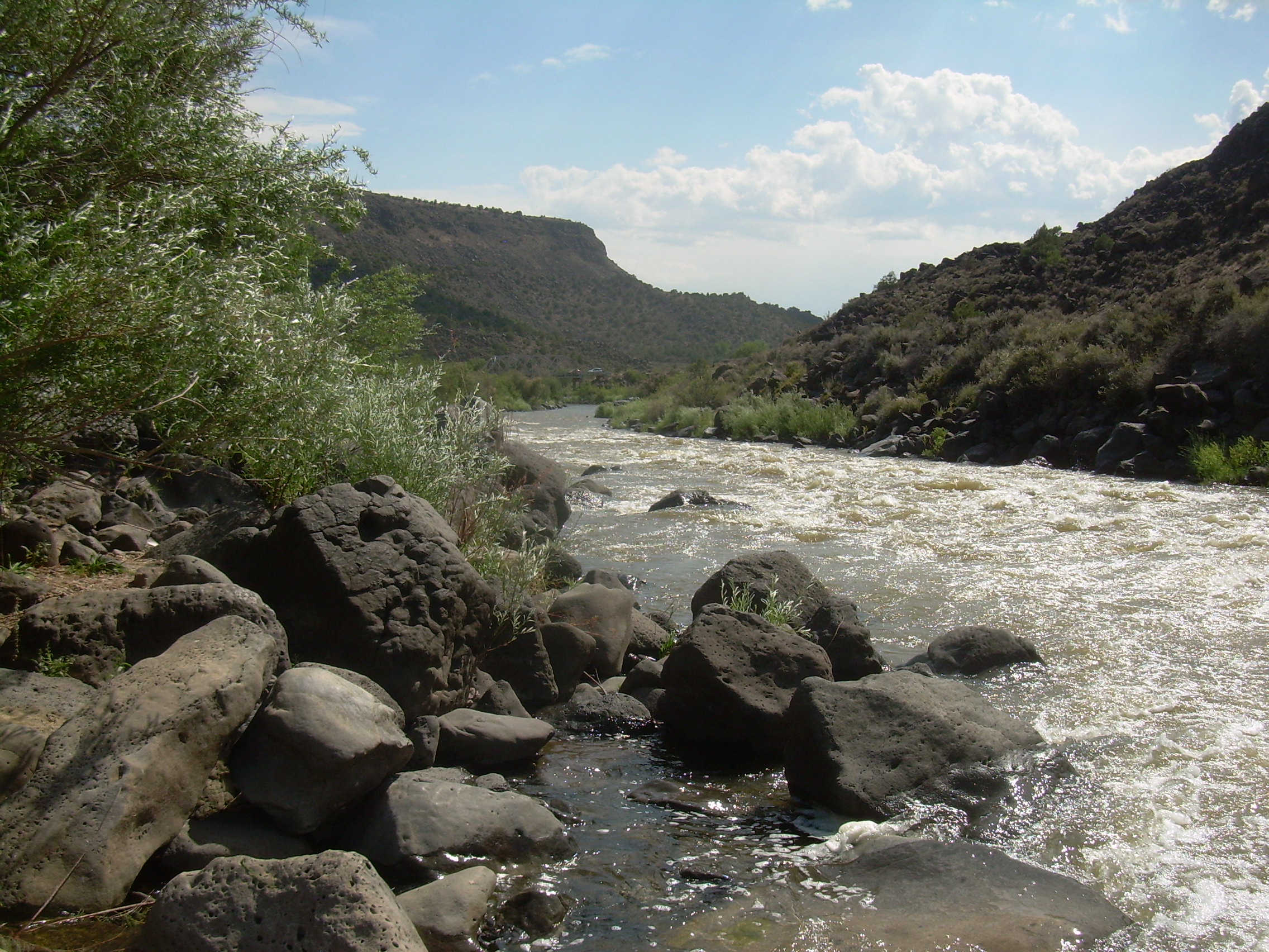
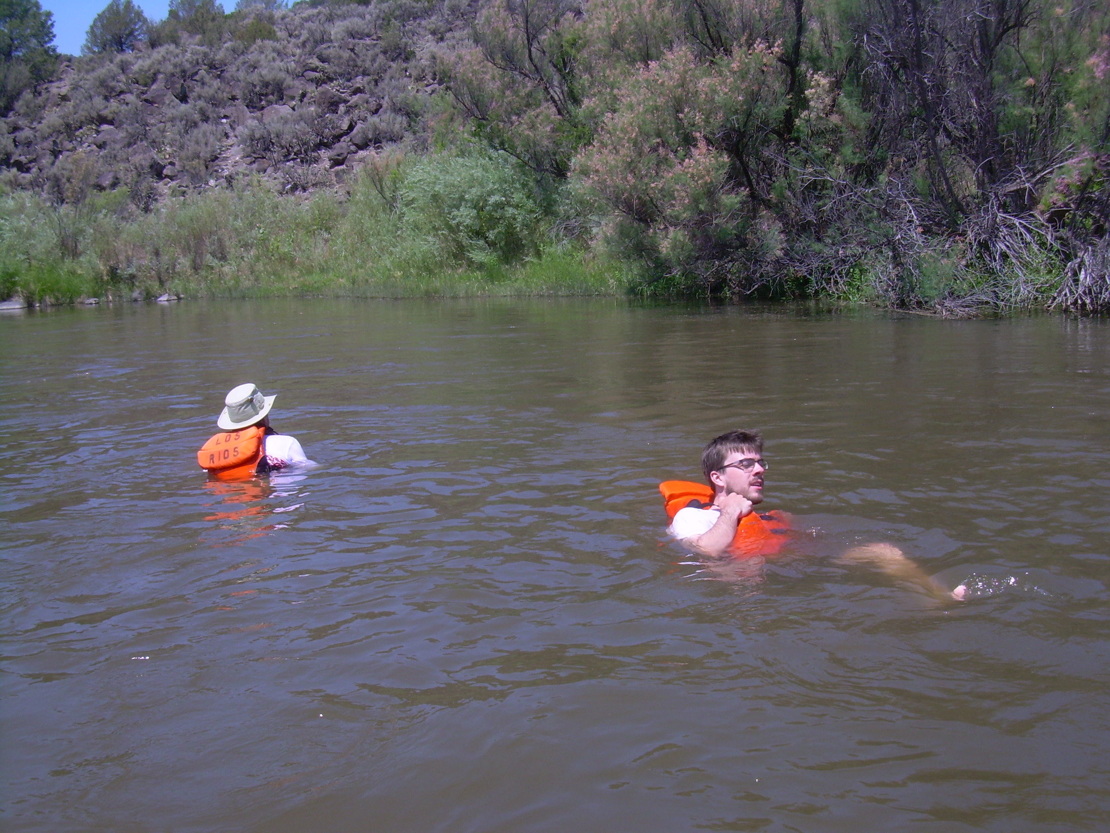
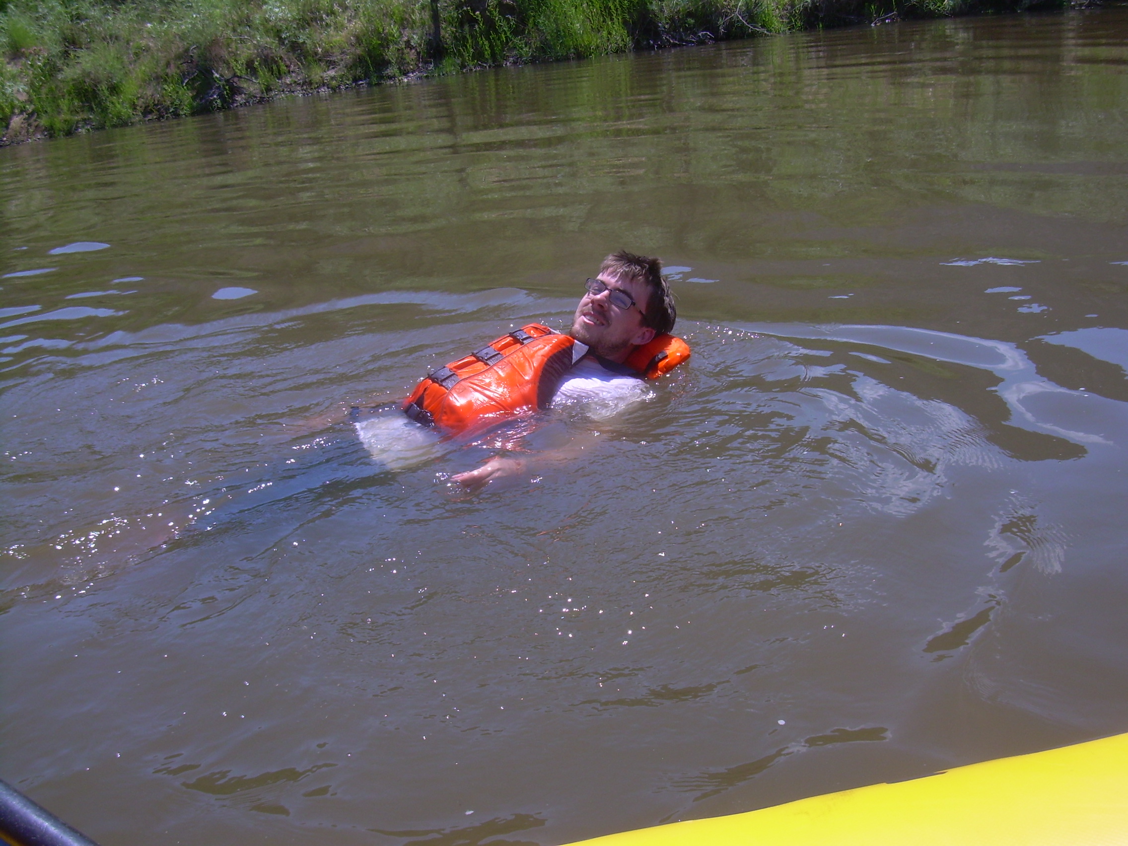
Eggs and sausage for breakfast. It is a slow and leisurely drift on the river this morning. We are headed through the Orilla Verde (Green Edged) Recreational Area. Patrick tells us that there was a bit of a scramble this morning because the raft disappeared over night. He had sent Seth off to get a replacement, but then found our raft hidden in the tamarisk a bit downstream. Since it was tied up it didn't just drift there. He is suspicious of a few of his fellow river guides. The Reynolds rapids and the S-Turn rapids are both trivial class II. We hardly bat an eye. With five slow miles to Pilar we slip over the side of the raft and float in the cool waters of the river for awhile. Ducks, Russian Olive trees and Cottonwoods. Pilar is a small hamlet. It was originally called Cieneguilla (marsh), and dates back to a Royal Spanish Land Grant of 1793. This flood plains is an agricultural oasis in the New Mexico desert. Just beyond Pilar we stop at the Quartzite boat access point for lunch. Seth came early a claimed a picnic table for us. Chicken salad wraps. There is are a lot of rafts and people here. This is the top of the Racecourse, the most popular rafting place in New Mexico. The Racecourse is only five miles long, but with half a dozen class-III rapids it lends itself to half day trips. For the rafting company, they can take two sets of clients per guide and raft each day.
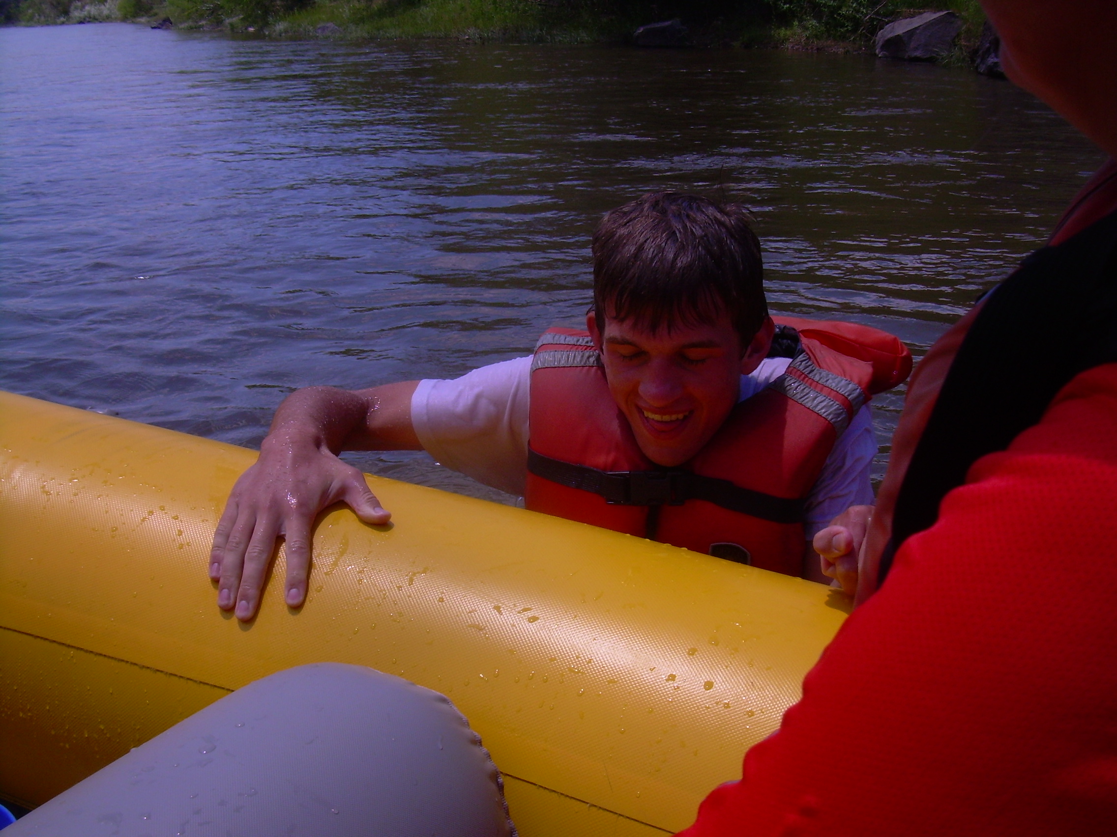
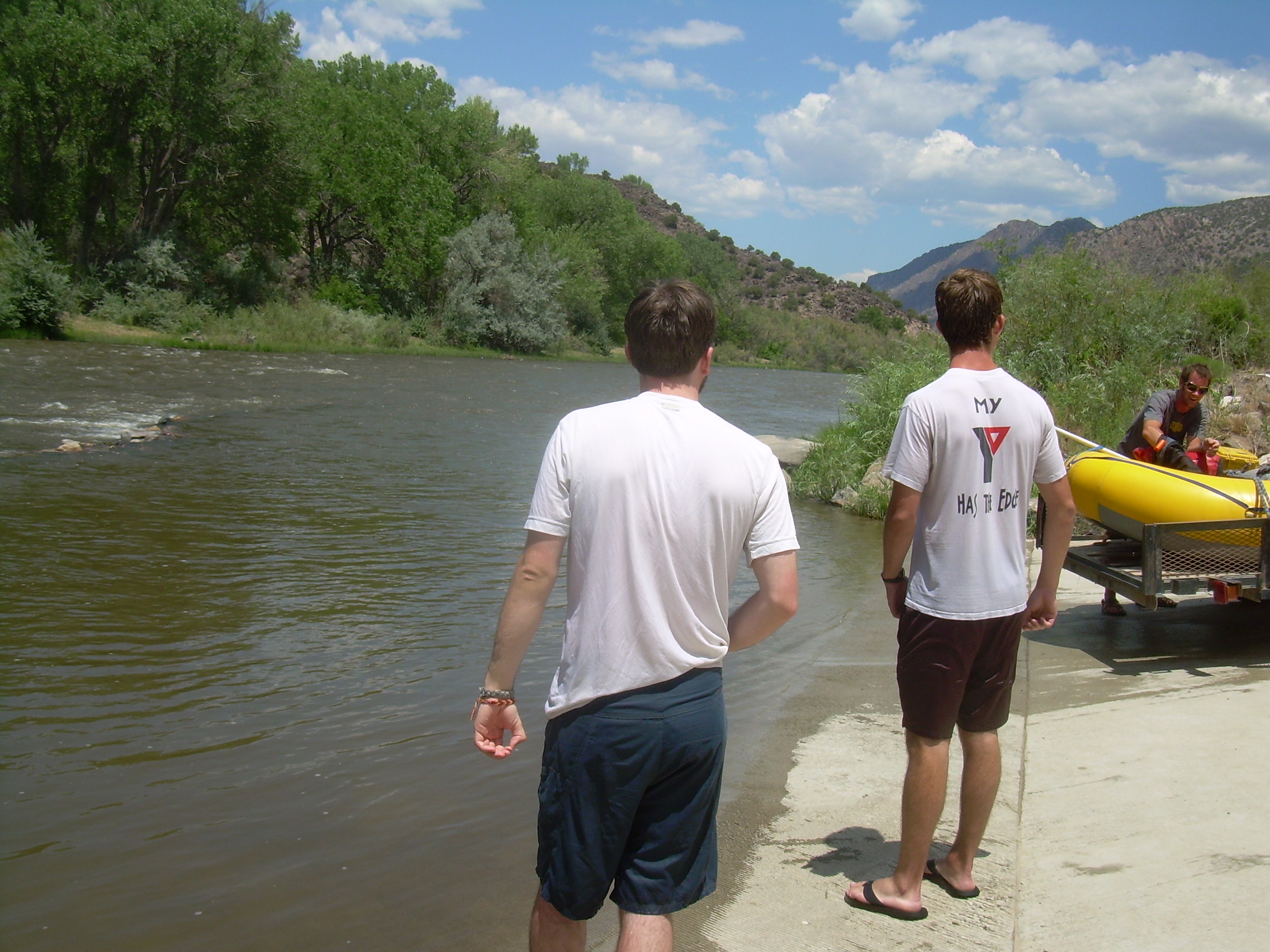
The Canyon Del Rio Grande is very different from this point on. In the Taos Box it was cut through basalt, a result of lava flows. Basalt tends to be dark, and since the Taos Box is narrow and deep yesterday's run was cooler and more remote. The Racecourse runs along side highway-68 and between the basalt to the west and the Picuris Mountains to the east. The Picuris is a white quartzite, an ancient Precambrian rock. It is a blindingly bright rock after the box. Down Albert Falls and through Herringbone rapid. Through The Narrows and under the old, wood and cable Glen Woody Bridge. In front of us now are two rapids which we reshaped because of a rock-slide in 1990. Big Rock rapid (III+) contains a boulder called Baby Huey which bounced down the canyon's sides and across the highway in a rainstorm. No one was on rout-68 at that time. New Sleeping Beauty rapid was also formed in that storm. Our last last rapid is called The Souse Hole or Sophie's Chute. One last drenching is a good way to end the trip. It is just another ten minutes of drifting and we are at the County Line boat access point. Patrick starts to tell us that he has been good, but it is still six months before the judge will let him leave the county. Is this the standard answer from river guides when their clients want to drift further?
|